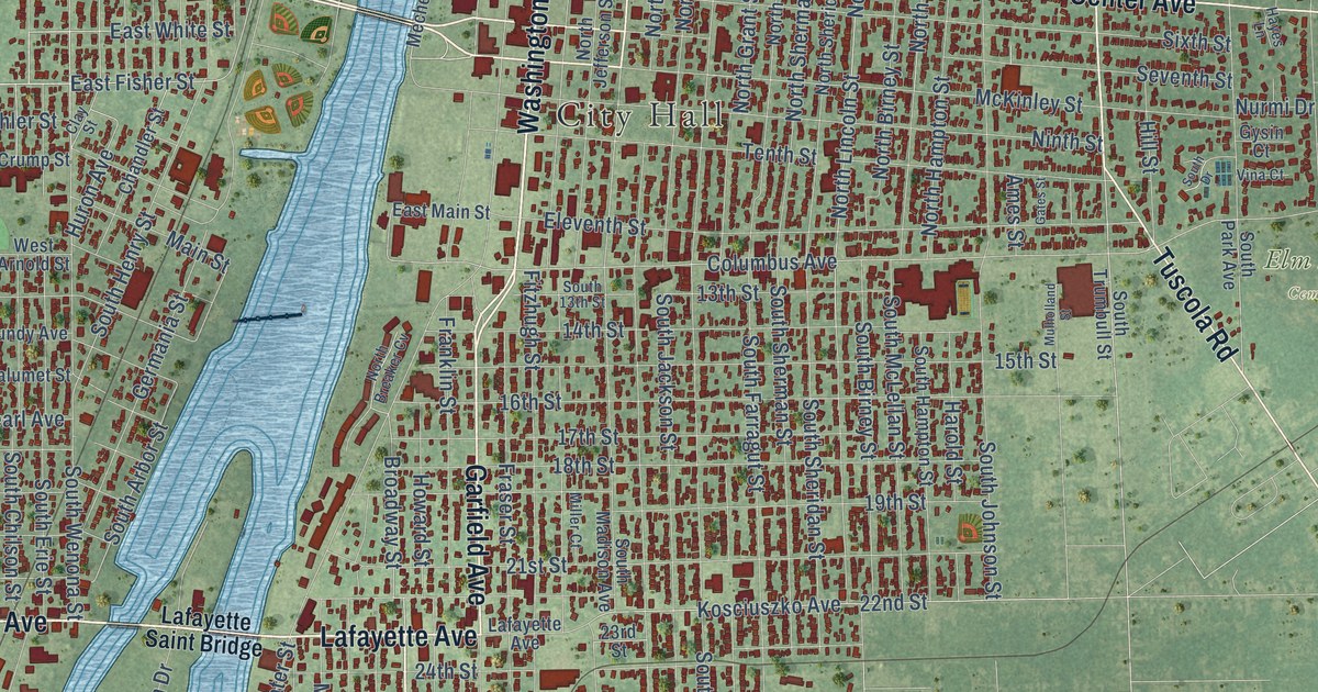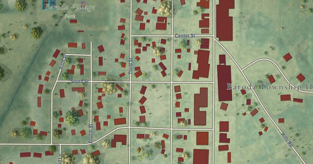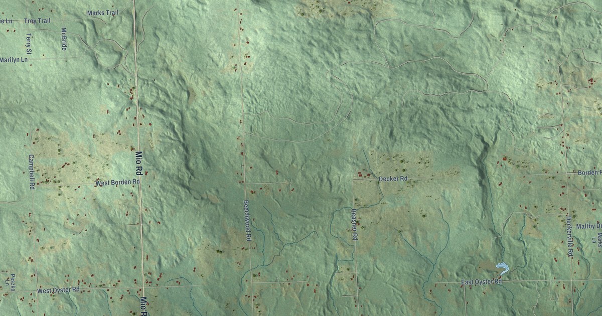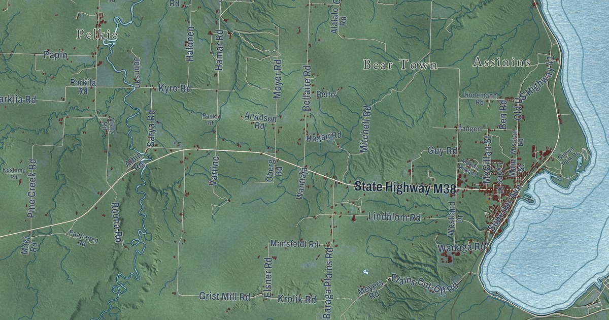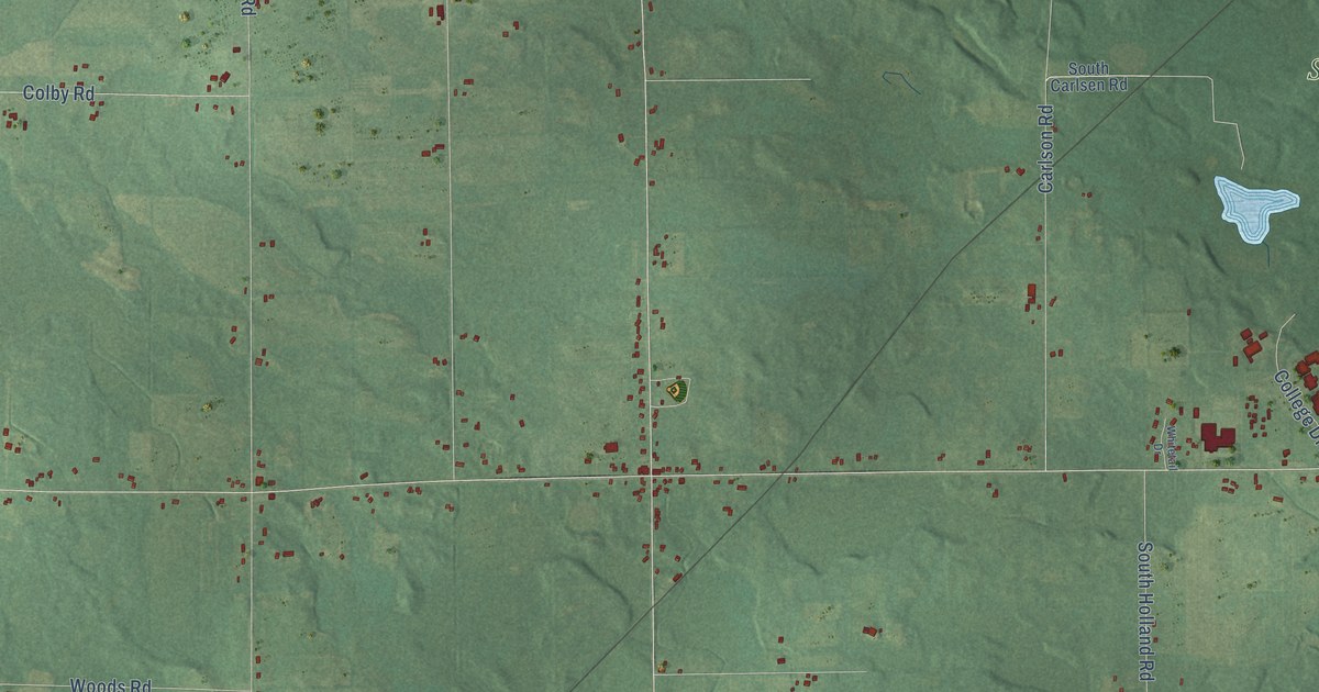
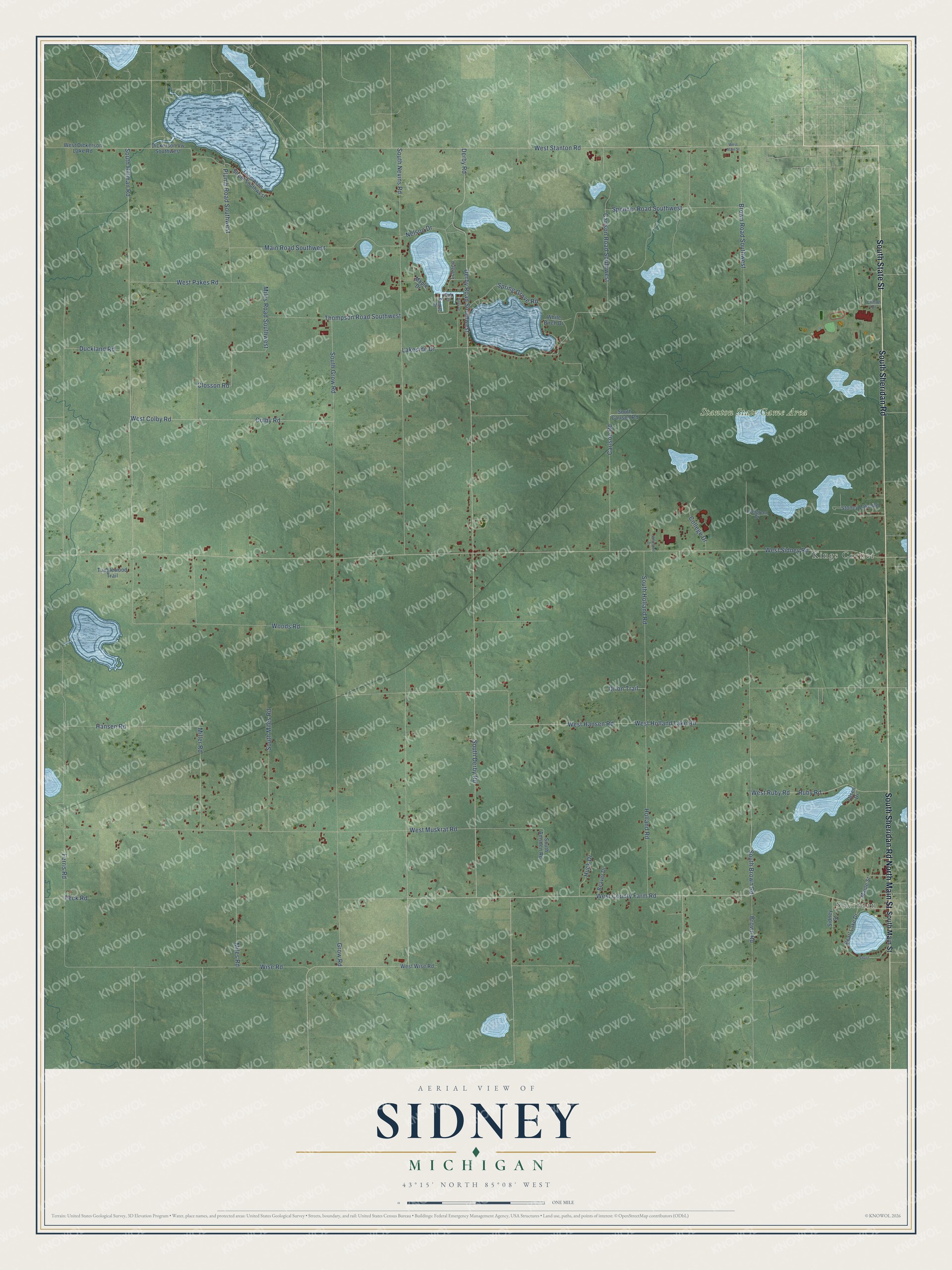
This beautifully detailed map of Sidney, Michigan was created in 2026 using aerial imagery combined with modern topographical, census, street and landmark data. It's a modern aerial view of Sidney in Montcalm County, Michigan, that combines modern data with a vintage aesthetic. The roads feature printed names, and if you look closely you can find your exact house accurately shown in its correct location.
Explore an aerial view of Sidney, Michigan
On this map you'll find Sheridan, Stanton State Game Area, Kings Corner, South Sheridan Road, North Main Street, South State Street, South Nevins Road, West Ruby Road, Plumb Road Southwest, Ruby Road, South Derby Road, Derby Road, and more. Each red shape is a building, so zoom in on the preview and look for yours.
Every town has a first chapter, and Sidney is no exception. The History of Montcalm County puts it this way: "The first school of Sidney was taught in 1858, in a log school house which stood on the north line of the southeast quarter of section 20, on land later owned by Jera B. Grover."
The Census Bureau counted 2,538 people here in 2020.
Take a closer look at the Sidney map
Names on this map
These names are printed on this map.
Places: Sheridan, Stanton State Game Area and Kings Corner.
Streets and roads: South Sheridan Road, North Main Street, South State Street, South Nevins Road, West Ruby Road, Plumb Road Southwest, Ruby Road, South Derby Road, Derby Road, Duckland Road, Wise Road, West Hansen Road.
More street names, A to Z
Beaver Drive, Brown Road, Brown Road Southwest, Carlson Road, Carlson Road Southwest, Clifton Drive, Closson Road, Colby Road, College Drive, Derby Road Southwest, Dickerson Vw Southwest, Evergreen Drive, Ferris Road, Grow Road, Hansen Road, Holland Road, Holly Drive, Huck Drive, Lakeside Drive, Louann, Main Road Southwest, Maple Drive, Maple Street, Miles Road, Miles Road Southwest, Miller Road, Nelson Drive, Oak Drive, Olsen Drive, Orion Trail, Pearl Lake Drive, Peck Road, Shore, Sidney Street, South Amsden Road, South Brown Road, South Carlsen Road, South Grow Road, South Hillman Road, South Holland Road, South Main Street, South Miles Road, Spencer Road Southwest, Spring Grove Road, Stoney Lake Road, Sumac Drive, Tanglewood Trail, Thompson Road Southwest, Thompson Street Southwest, West Colby Road, West County Farm Road, West Dickerson Lake Road, West Holland Lake Road, West Main Street, West Muskrat Road, West Pakes Road, West Sidney Road, West Stanton Road, West Wise Road, White Birch Drive, Whitetail Drive, Woods Road.
Created by KNOWOL in 2026. The buildings are small red shapes, the roads carry their printed names, and shaded relief shows the shape of the land. The title panel reads "AERIAL VIEW OF SIDNEY, MICHIGAN" with 43°15' NORTH 85°08' WEST.
Hang it in the hallway, the office or the cabin, or give it to someone who left Sidney and still calls it home. Open the preview and look for a street you know. See sizes and frames for the Sidney map.