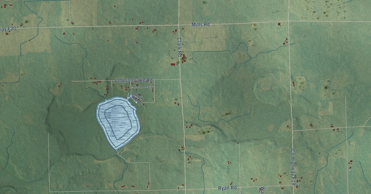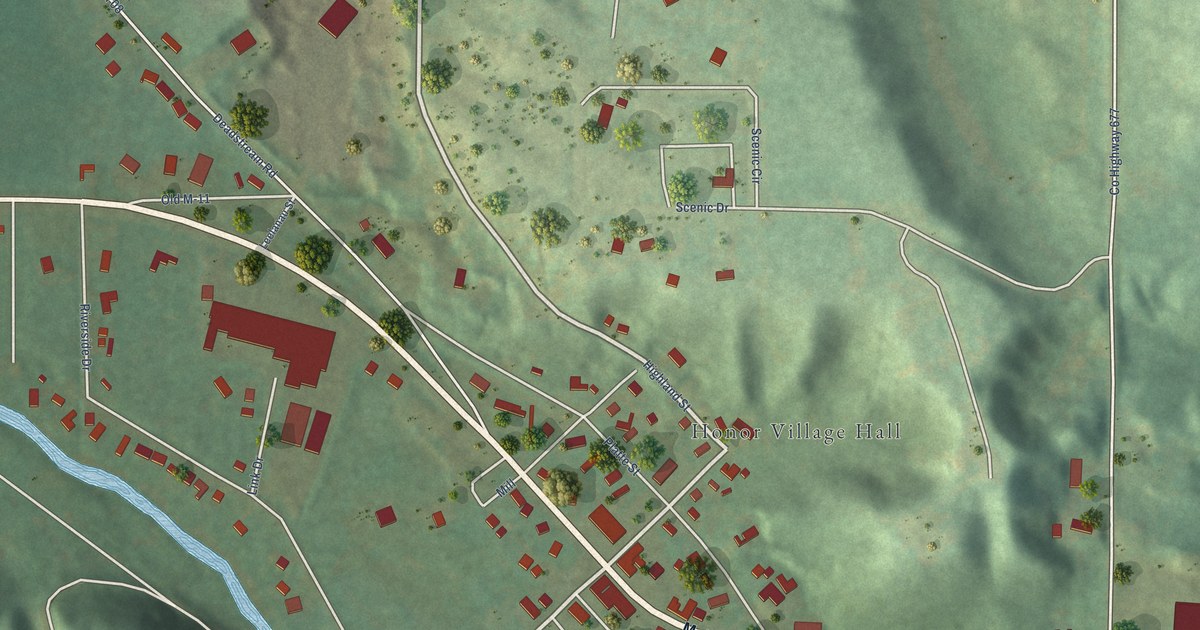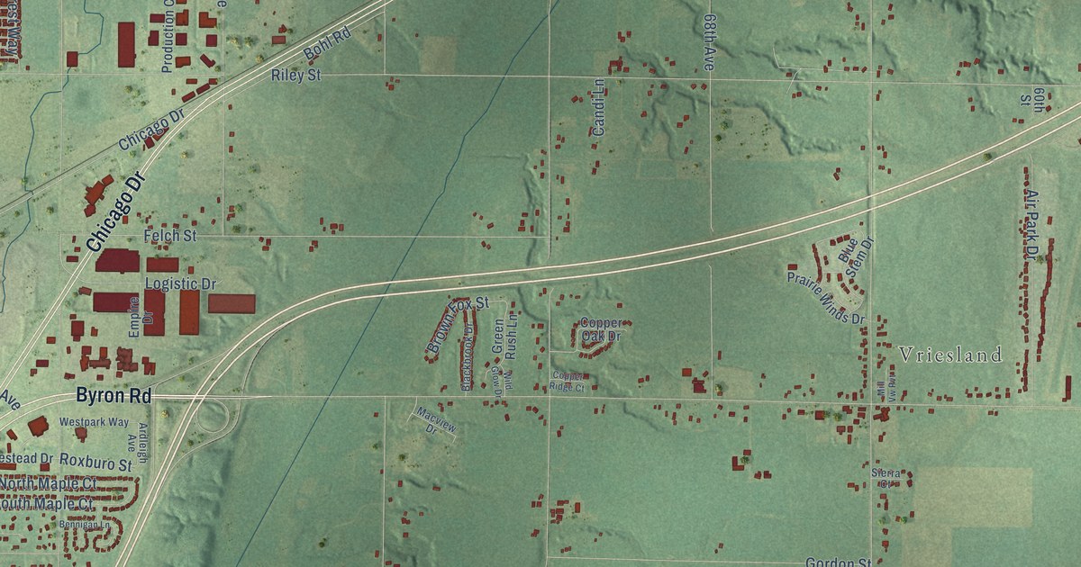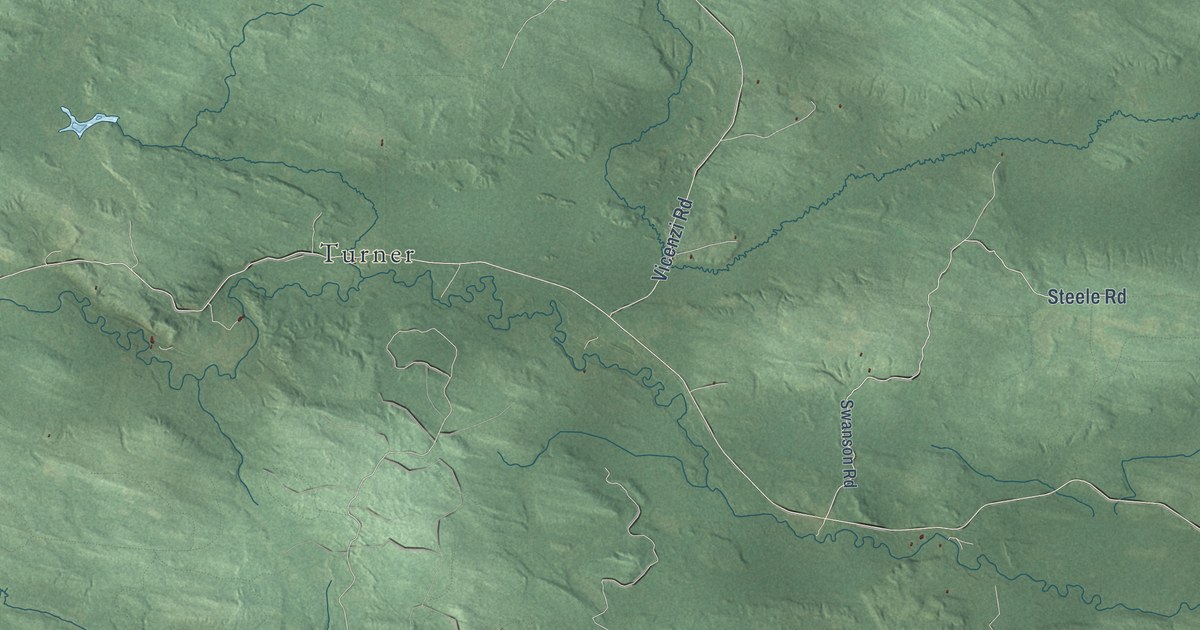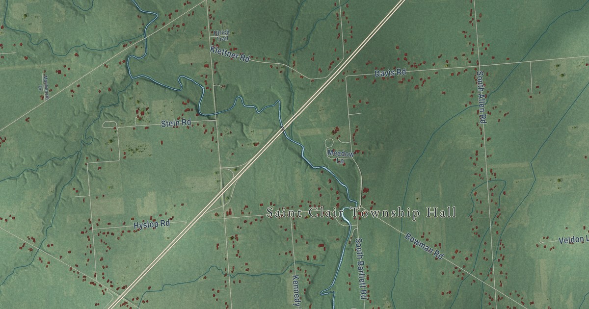
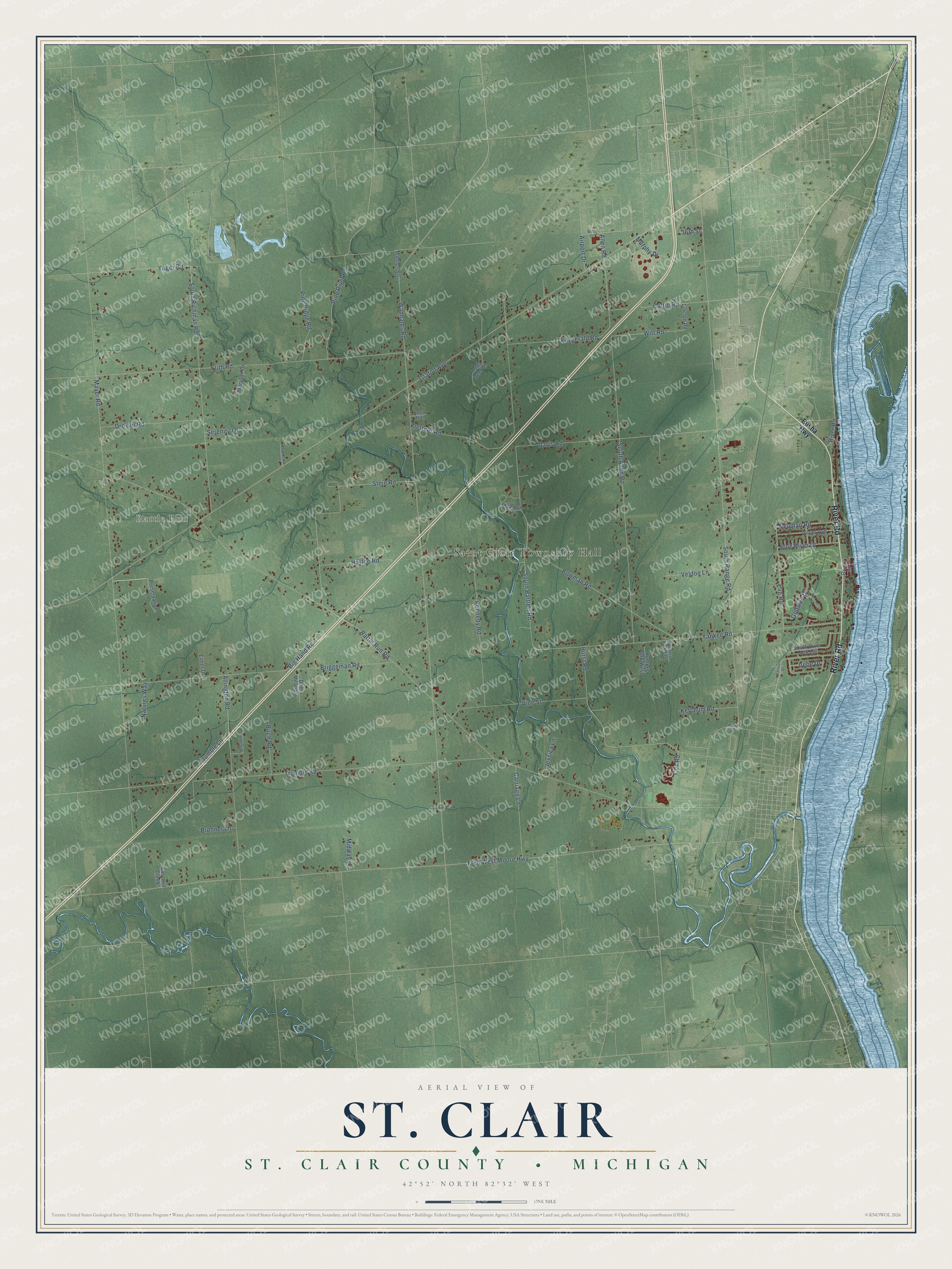
This beautifully detailed map of St. Clair, Michigan was created in 2026 using aerial imagery combined with modern topographical, census, street and landmark data. It's a modern aerial view of St. Clair in St. Clair County, Michigan, that combines modern data with a vintage aesthetic. The roads feature printed names, and if you look closely you can find your exact house accurately shown in its correct location.
Explore an aerial view of St. Clair, Michigan
On this map you'll find Saint Clair Township Hall, Rattle Run, River Road, Neuman Road, Allen Road, South Allen Road, Rattle Run Road, Gratiot Avenue, Wadhams Road, Mayer Road, Fred West Moore Highway, South Range Road, and more. Each red shape is a building, so zoom in on the preview and look for yours.
Every town has a first chapter, and St. Clair is no exception. The St. Clair County Its History and Its People puts it this way: "One view is that it was so named in honor of General Arthur St. Clair who was the first governor of the Northwest Territory. At least as early as 1797 there was a township of St. Clair in the county of Wayne, and from a tax roll of 1802 of the township of St. Clair, it is evident that this included the present St. Clair county."
The Census Bureau counted 7,085 people here in 2020.
Take a closer look at the St. Clair map
Names on this map
These names are printed on this map.
Places: Saint Clair Township Hall and Rattle Run.
Streets and roads: River Road, Neuman Road, Allen Road, South Allen Road, Rattle Run Road, Gratiot Avenue, Wadhams Road, Mayer Road, Fred West Moore Highway, South Range Road, South Bartlett Road, Trumble Road.
More street names, A to Z
16th Street, Airport Drive, Allington Road, Big Hand Road, Birch Road, Blue River Drive, Bowman Road, Braeburn Drive, Brenner Lane, Briggeman Road, Brown Street, Busha Highway, Carriage Lane, Cox Road, Cuttle Road, Davis Road, Deer Meadow, Drexler Road, East Hill Creek, Elmer Drive, Equestrian Drive, Fitzgerald Road, Frith Road, Golfside Drive, Hunters Park East, Hunters Park West, Hurst Road, Hyslop Road, Irene Drive, Jessica Lane, Kennedy Road, Ketchum Road, Klettner Road, Lincoln Road, Lost Deer Lane, Mackenzie Drive, Mahren Road, Marshall Drive, Meadow Lane, Midway Lane, Murphy Drive, Natures Way, Pine Ridge Road, Pine River Road, Preservation Lane, Pug Road, River Street, Serenity Lane, South Richman Road, South River Pte Lane, Stein Road, Trumble Lane, Ulrich Trail, Veldon Lane, Vine Street, Violet Avenue, Wills Drive, Witt Road, Yager Road, Yankee Road.
Created by KNOWOL in 2026. The buildings are small red shapes, the roads carry their printed names, and shaded relief shows the shape of the land. The title panel reads "AERIAL VIEW OF ST. CLAIR, ST. CLAIR COUNTY • MICHIGAN" with 42°52' NORTH 82°32' WEST.
Hang it in the hallway, the office or the cabin, or give it to someone who left St. Clair and still calls it home. Open the preview and look for a street you know. See sizes and frames for the St. Clair, St. Clair County map.