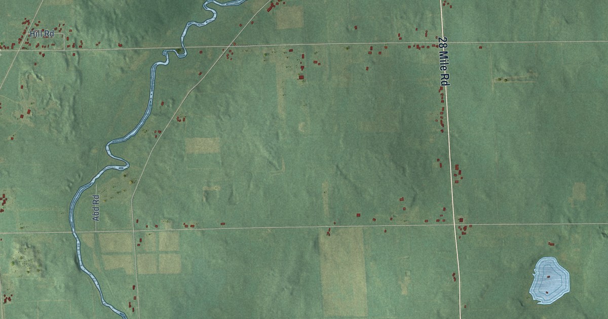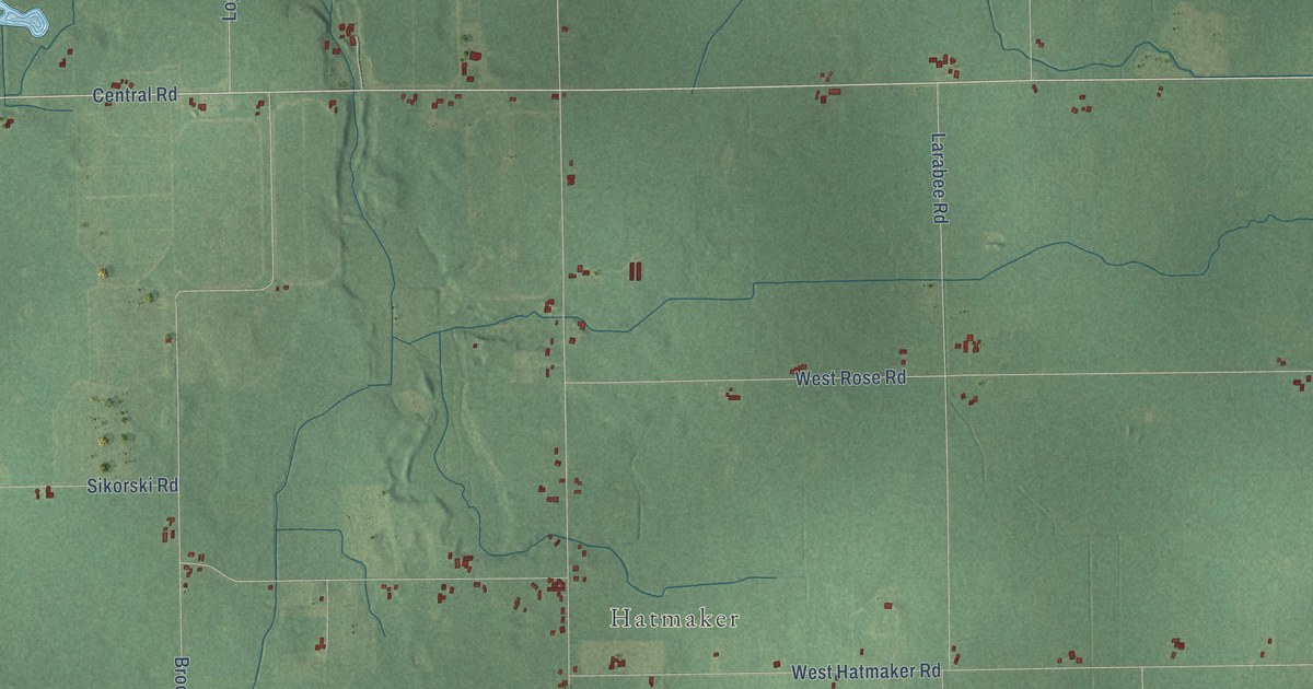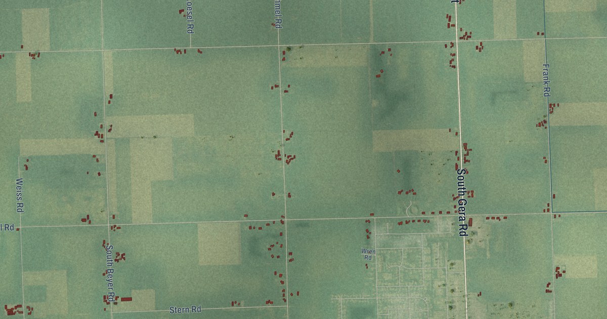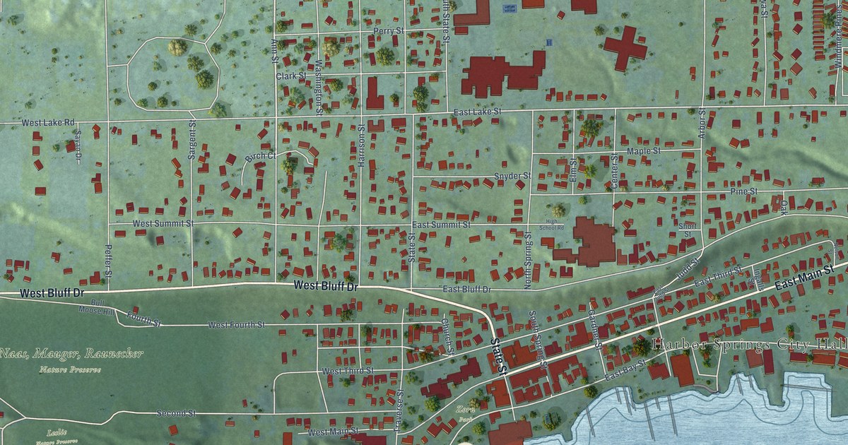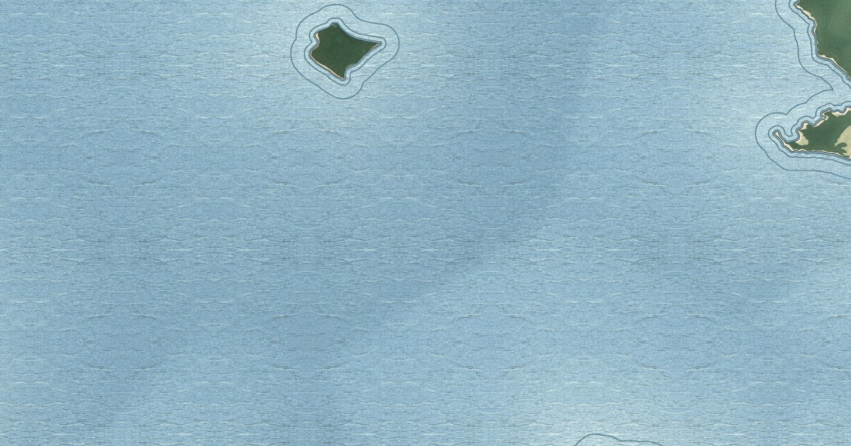
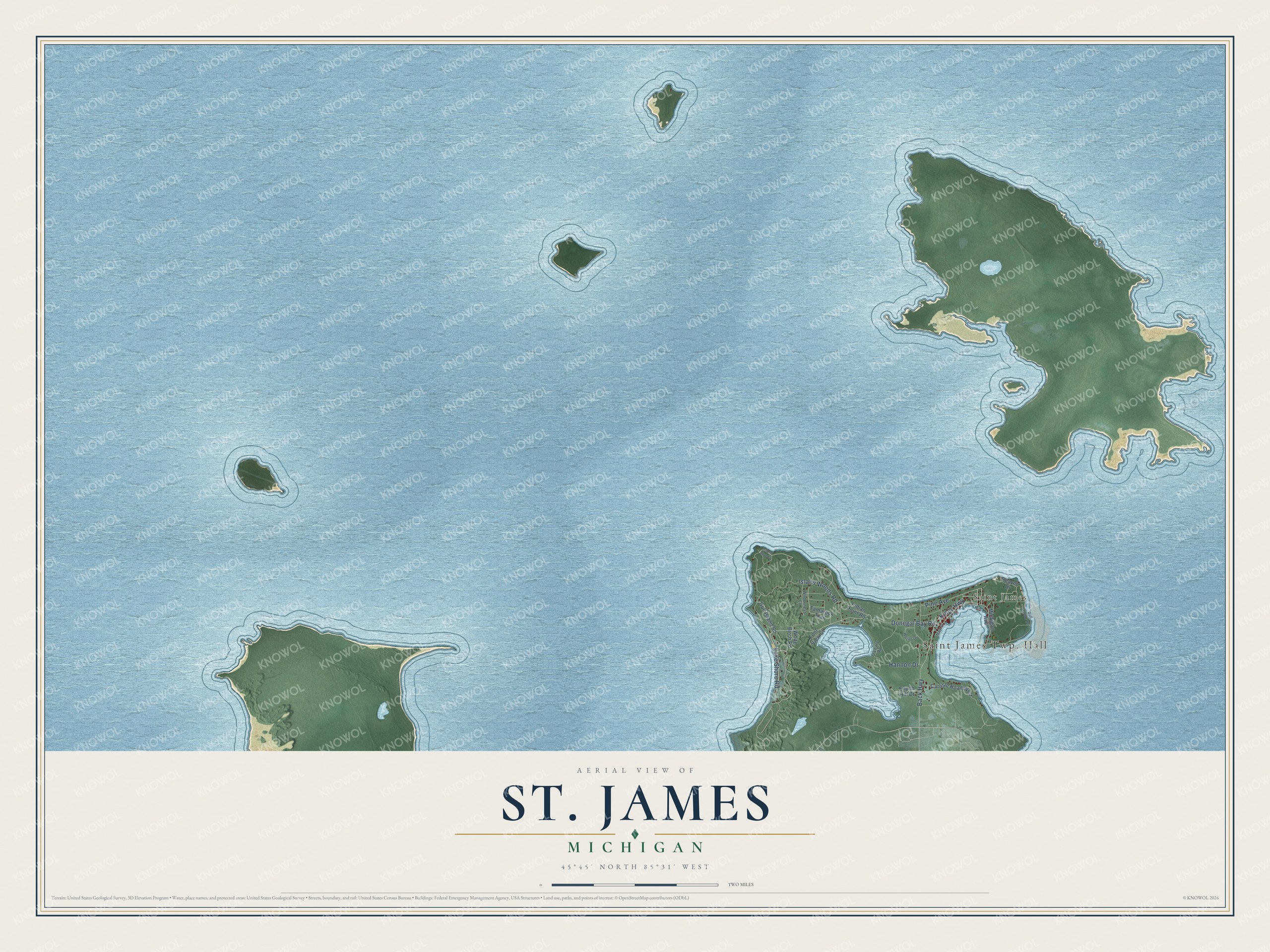
This beautifully detailed map of St. James, Michigan was created in 2026 using aerial imagery combined with modern topographical, census, street and landmark data. It's a modern aerial view of St. James in Charlevoix County, Michigan, that combines modern data with a vintage aesthetic. The roads feature printed names, and if you look closely you can find your exact house accurately shown in its correct location.
Explore an aerial view of St. James, Michigan
On this map you'll find Saint James, Donegal Bay Road, Island Woods Road, Back Highway, Kings Highway, Pine Avenue, Lake Shore Road, Hannon Drive, Gull Island Road, Carlisle Road West, Indian Point Road, Michigan Avenue, and more. Each red shape is a building, so zoom in on the preview and look for yours.
St. James has a story worth telling. The History of Northern Michigan and Its People puts it this way: "The first subject of adjudication of the higher courts, within this area, was the Mormon King, James J. Strang, of Big Beaver island, who had established his capital at St. James, and settled a colony and erected a kingdom around it which threatened the supremacy of the Utah monarchy."
The Census Bureau counted 259 people here in 2020.
Take a closer look at the St. James map
Names on this map
These names are printed on this map.
Places: Saint James Twp. Hall and Saint James.
Streets and roads: Donegal Bay Road, Island Woods Road, Back Highway, Kings Highway, Pine Avenue, Lake Shore Road, Hannon Drive, Gull Island Road, Carlisle Road West, Indian Point Road, Michigan Avenue, White Birch Road.
More street names, A to Z
Beaver Drive, Enoch Hill Drive, Font View Court, Gull Harbor Drive, Island Woods, Main Street, O'Leary Road, Tamarock Trail, Wilderness Court, Wojan Drive.
See it on a wall
The St. James map as a framed print. Swipe for more.


Created by KNOWOL in 2026. The buildings are small red shapes, the roads carry their printed names, and shaded relief shows the shape of the land. The title panel reads "AERIAL VIEW OF ST. JAMES, MICHIGAN" with 45°45' NORTH 85°31' WEST.
It looks right in a kitchen, an office or a den, and it's a gift for anyone who grew up in St. James or moved away. Open the preview and find your street. See sizes and frames for the St. James map.