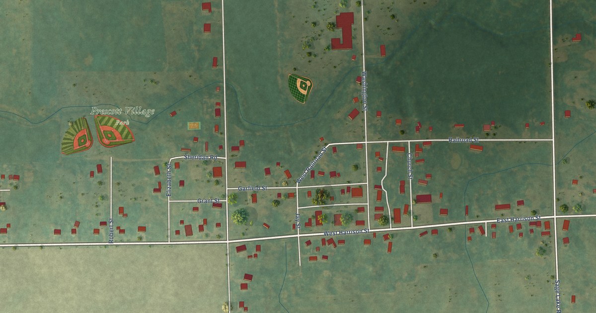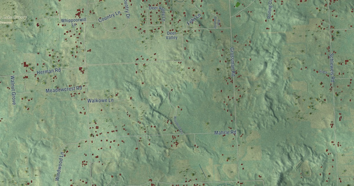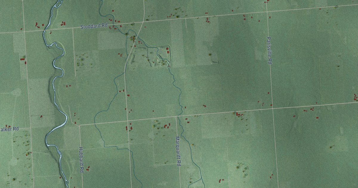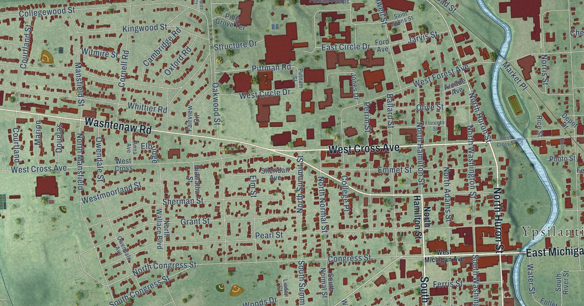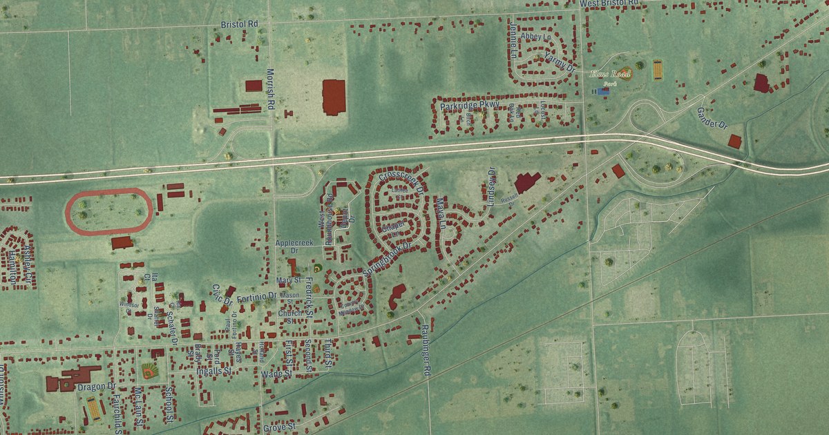
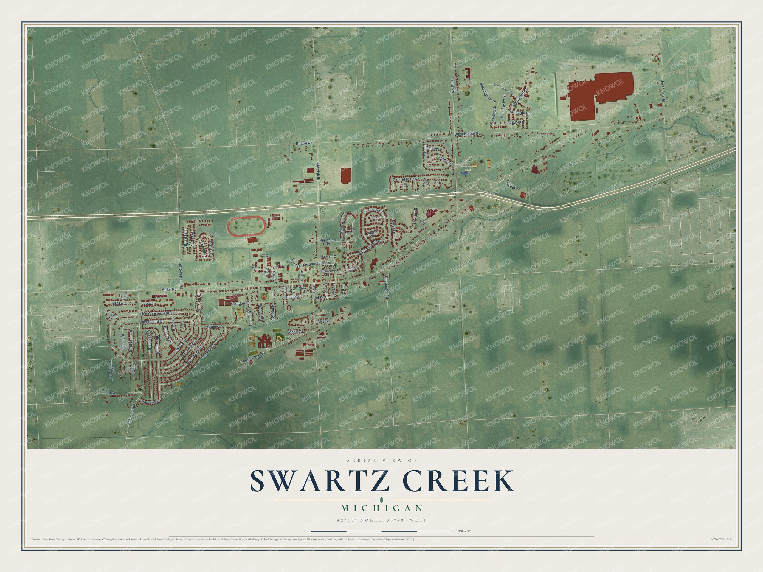
This beautifully detailed map of Swartz Creek, Michigan was created in 2026 using aerial imagery combined with modern topographical, census, street and landmark data. It's a modern aerial view of Swartz Creek in Genesee County, Michigan, that combines modern data with a vintage aesthetic. The roads feature printed names, and if you look closely you can find your exact house accurately shown in its correct location.
Explore an aerial view of Swartz Creek, Michigan
On this map you'll find Elms Road Park, Dragon Drive, Miller Road, Morrish Road, Elms Road, Bristol Road, Seymour Road, West Bristol Road, Oakview Drive, East Chesterfield Drive, Springbrook Drive, Winshall Drive, and more. Each red shape is a building, so zoom in on the preview and look for yours.
Every town has a first chapter, and Swartz Creek is no exception. The History of Genesee County puts it this way: "An office was at the same time established at the Miller settlement, and named Swartz Creek. Arthur L. Ellsworth received the first appointment as postmaster, and after discharging the duties of the office about one year he moved away."
Swartz Creek is a city in Genesee County. The Census Bureau counted 5,897 people here in 2020.
Take a closer look at the Swartz Creek map
Names on this map
These names are printed on this map.
Places: Elms Road Park.
Streets and roads: Dragon Drive, Miller Road, Morrish Road, Elms Road, Bristol Road, Seymour Road, West Bristol Road, Oakview Drive, East Chesterfield Drive, Springbrook Drive, Winshall Drive, South Seymour Road.
More street names, A to Z
Abbey Lane, Applecreek Drive, Arlington Drive, Ashley Circle, Augusta Street, Birchcrest Drive, Birch Lane, Brady Street, Brookfield, Buckingham Drive, Cambridge Street, Cappy Lane, Chapel Lane, Chelmsford Drive, Church Street, Civic Drive, Country Meadow Drive, Crosscreek Drive, Daval Drive, Depot Drive, Don Shenk Drive, Durwood Drive, East Crapo Street, Eton Court, Fairchild Street, First Street, Ford Street, Fortinio Drive, Fredrick Street, Gander Drive, Greenleaf Drive, Grove Street, Hamilton, Hayes Street, Helmsley Drive, Heritage Boulevard, Hill Road, Holland Street, Ida Court, Ingalls Street, Ita Court, Jennie Lane, Jill Marie Lane, Latifee Court, Lindsey Drive, Locust Lane, Luea Lane, Manchester Street, Maple Street, Mary Street, Mason Street, Maya Lane, Mc Lain Street, Natalie Lane, Norbury Drive, Oxford Court, Parkridge Parkway, Paul Fortino Drive, Raubinger Road, Red Oak Lane, Russell Drive, Saint Charles Pass, Schafer Drive, School Street, Second Street, Shaffer Drive, Somerset, South Cordigan Drive, South Dye Road, Third Street, Valleyview Drive, Wade Street, West Roundhouse Road, Windsor Court, Winston Drive, Worchester Drive, Yarmy Drive, Young Drive.
Created by KNOWOL in 2026. The buildings are small red shapes, the roads carry their printed names, and shaded relief shows the shape of the land. The title panel reads "AERIAL VIEW OF SWARTZ CREEK, MICHIGAN" with 42°58' NORTH 83°50' WEST.
Hang it in the hallway, the office or the cabin, or give it to someone who left Swartz Creek and still calls it home. Open the preview and look for a street you know. See sizes and frames for the Swartz Creek map.