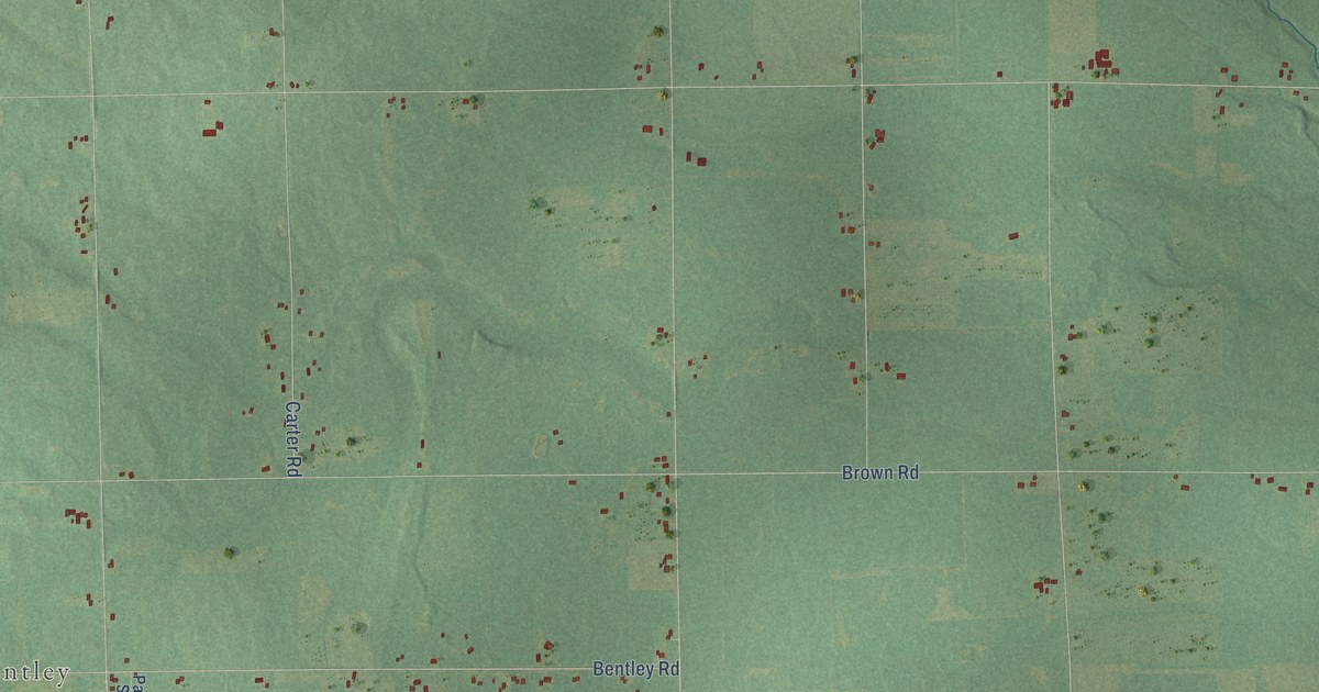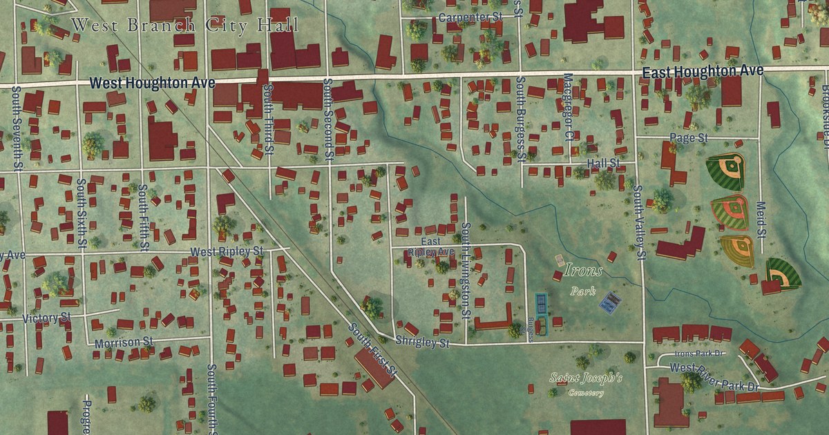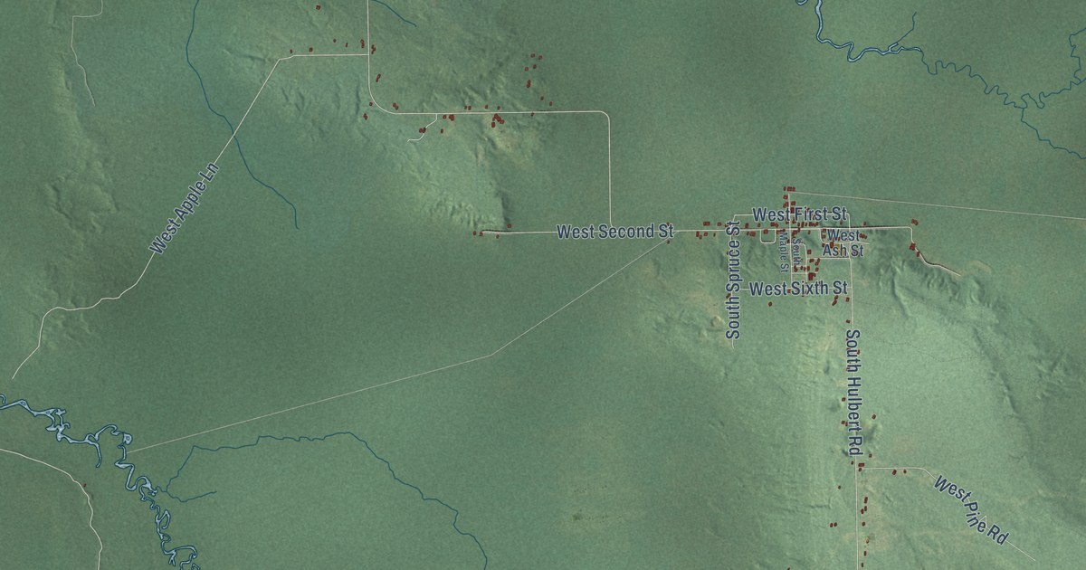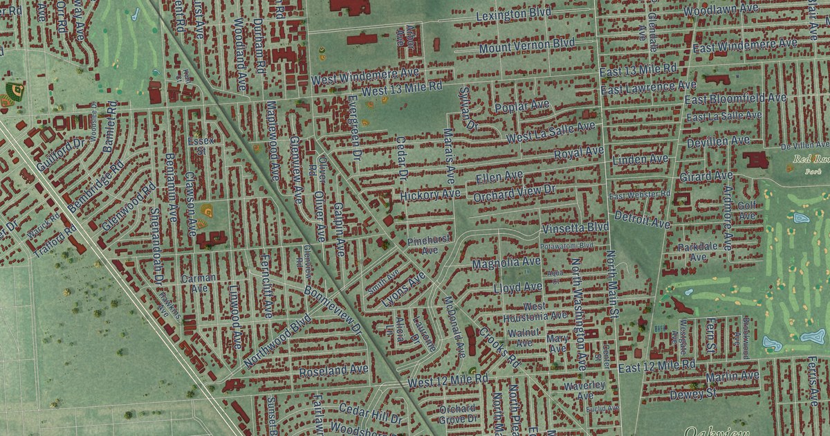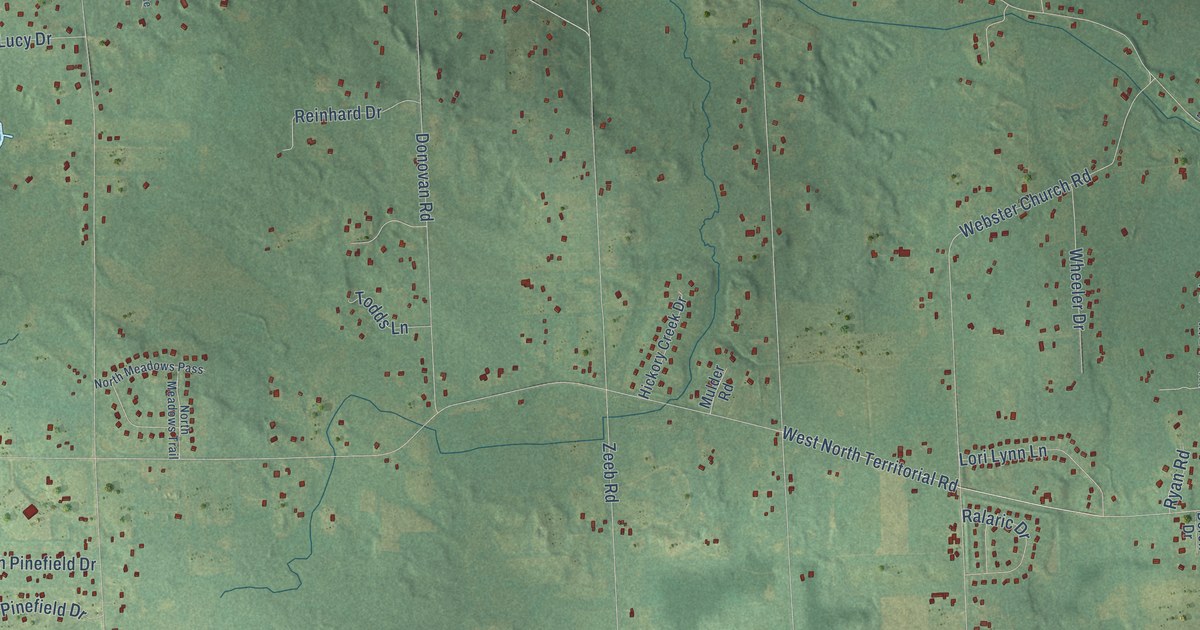
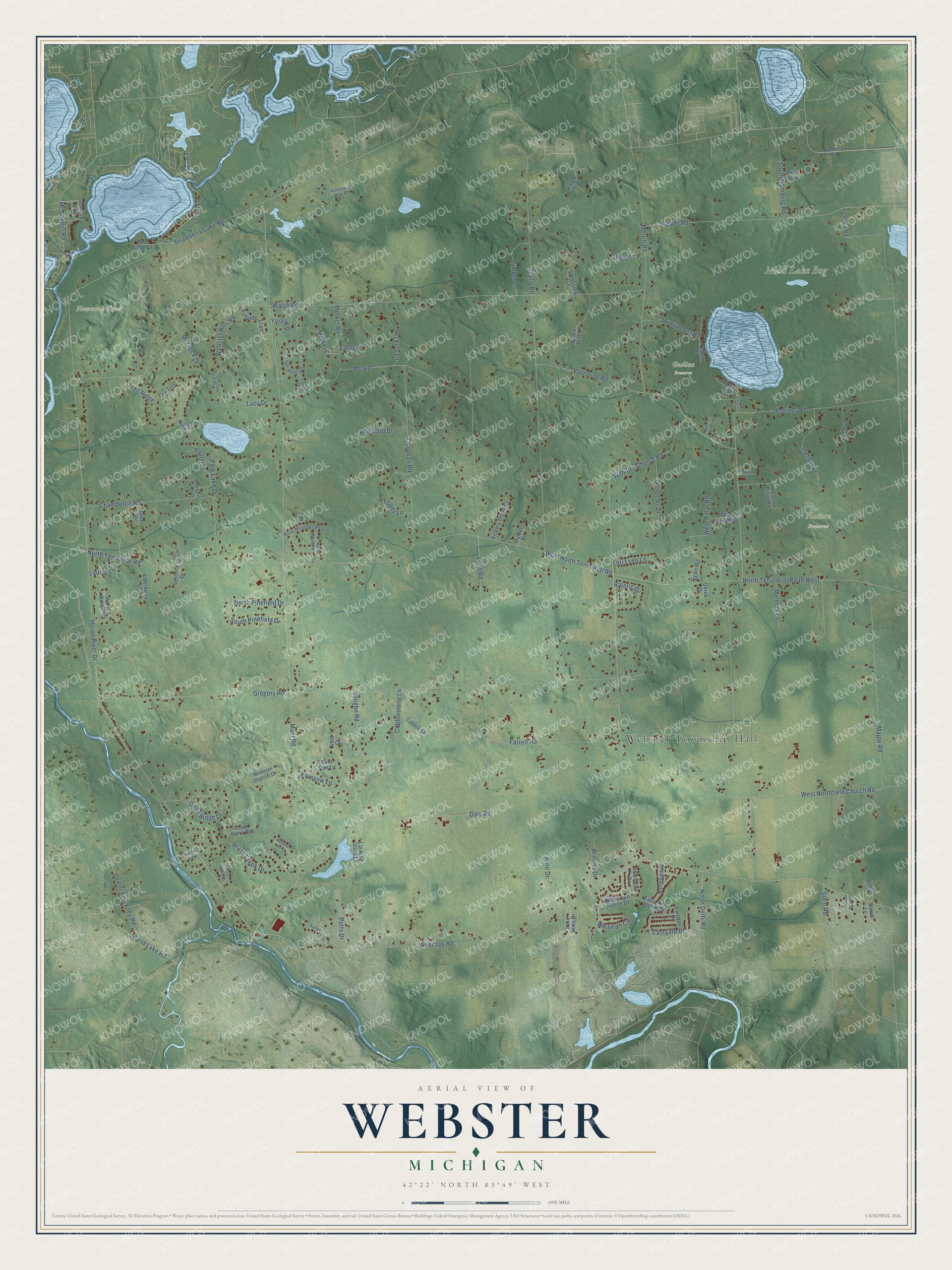
This beautifully detailed map of Webster, Michigan was created in 2026 using aerial imagery combined with modern topographical, census, street and landmark data. It's a modern aerial view of Webster in Washtenaw County, Michigan, that combines modern data with a vintage aesthetic. The roads feature printed names, and if you look closely you can find your exact house accurately shown in its correct location.
Explore an aerial view of Webster, Michigan
On this map you'll find Webster Township Hall, Gosline Preserve, Mud Lake Bog, Nature Preserve, Newcomb Tract, Mast Road, Merkel, Zeeb Road, West North Territorial Road, Huron River Drive, West Joy Road, Walsh Road, and more. Each red shape is a building, so zoom in on the preview and look for yours.
Webster has a story worth telling. The History of Washtenaw County puts it this way: "The town of Webster, on the organization of the county, comprised a part of the town of Dexter, and was set off and organized by the Territorial Council, March, 1833, and given the name of Webster, in honor of the great statesman, Daniel Webster, then in the zenith of his political fame. Munnis Kenny has the credit of suggesting the name."
The Census Bureau counted 6,575 people here in 2020.
Take a closer look at the Webster map
Names on this map
These names are printed on this map.
Places: Webster Township Hall, Gosline Preserve, Mud Lake Bog, Nature Preserve and Newcomb Tract.
Streets and roads: Mast Road, Merkel, Zeeb Road, West North Territorial Road, Huron River Drive, West Joy Road, Walsh Road, Jennings Road, Gregory Road, North Territorial Road, Scully Road, Webster Church Road.
More street names, A to Z
8 Mile Road, Aberdeen Drive, Arvilla Lane, Autumn Trail, Barker Road, Base Lake Drive, Black Forest Drive, Black Pine Lane, Boyden Drive, Brass Creek Court, Brass Creek Drive, Brassow Lane, Cedar Hills Drive, Chamberlin Road, Cobble Lane, Cobblestone Lane, Crest Court, Daly Road, Deer Run Lane, Derek Drive, Dexter Pinckney Road, Dinser Lane, Donovan Road, Eastgate Drive, East Loch Alpine Drive, East Pillar Road, Elderberry Lane, Fairway Drive, Farrell Road, Fischers Way, Fox Lane, Fox Trce, Granite Court, Harbor Trail, Hermitage Way Road, Hickory Creek Drive, Hickory Lane, Hidden Brook Lane, Hidden Woods Drive, Island Lake Road, Jennings Court, Kearney Road, Lake Hollow Court, Lake Vista Drive, Leach Lane, Looking Glass Lane, Lori Lynn Lane, Louise Lane, Lucy Drive, Maple Road, Marquis Drive, McClatchey Road, Mc Gregor Road, Meadow Lane, Meadow Lark Lane, Memory Lane, Merkel Court, Merkel Road, Merrill Road, Mulder Road, Murdock Drive, North Delhi Road, Northgate Drive, North Meadows Pass, North Meadows Trail, North Pinefield Drive, North Territorial Road West, Park Lake Drive, Pellett Drive, Pillar Drive West, Pine Drive, Poplar Drive, Potts Drive, Purple Martin Way, Quail Ridge Drive, Ralaric Drive, Reinhard Drive, Ryan Road, Sandhill Lane, Serenity Drive, Silver Drive, South Hamburg Road, South Pinefield Drive, Starak Lane, Stein Road, Stoneview Lane, Strawberry Lake Road, Sunrise Drive, Timber Lane, Tite Trail, Todds Lane, Trail Ridge, Trotters Lane, Valentine Road, Valley Vw, Vaughn Road, Vista Way, Webster Hills Road, Webster Station Drive, West Loch Alpine Drive, West Northfield Church Road, West Pillar Road, Wheeler Drive, Whitman Circle, Winona Drive, Winters Court, Woods Trail.
Created by KNOWOL in 2026. The buildings are small red shapes, the roads carry their printed names, and shaded relief shows the shape of the land. The title panel reads "AERIAL VIEW OF WEBSTER, MICHIGAN" with 42°22' NORTH 83°49' WEST.
It looks right in a kitchen, an office or a den, and it's a gift for anyone who grew up in Webster or moved away. Open the preview and find your street. See sizes and frames for the Webster map.