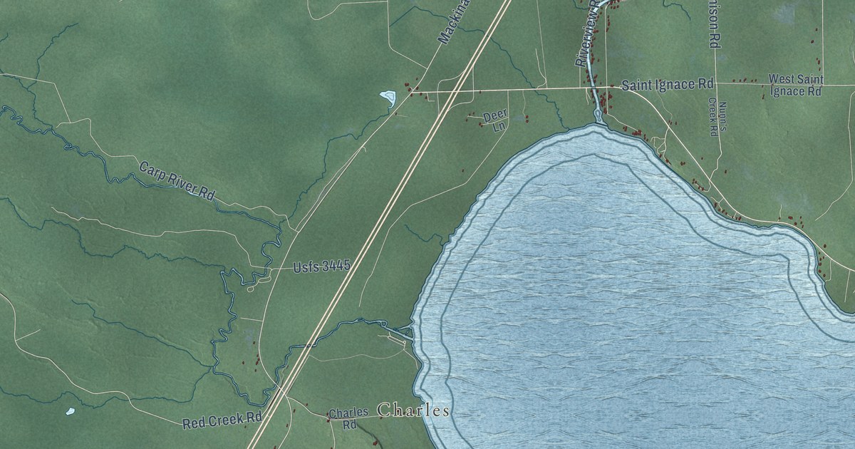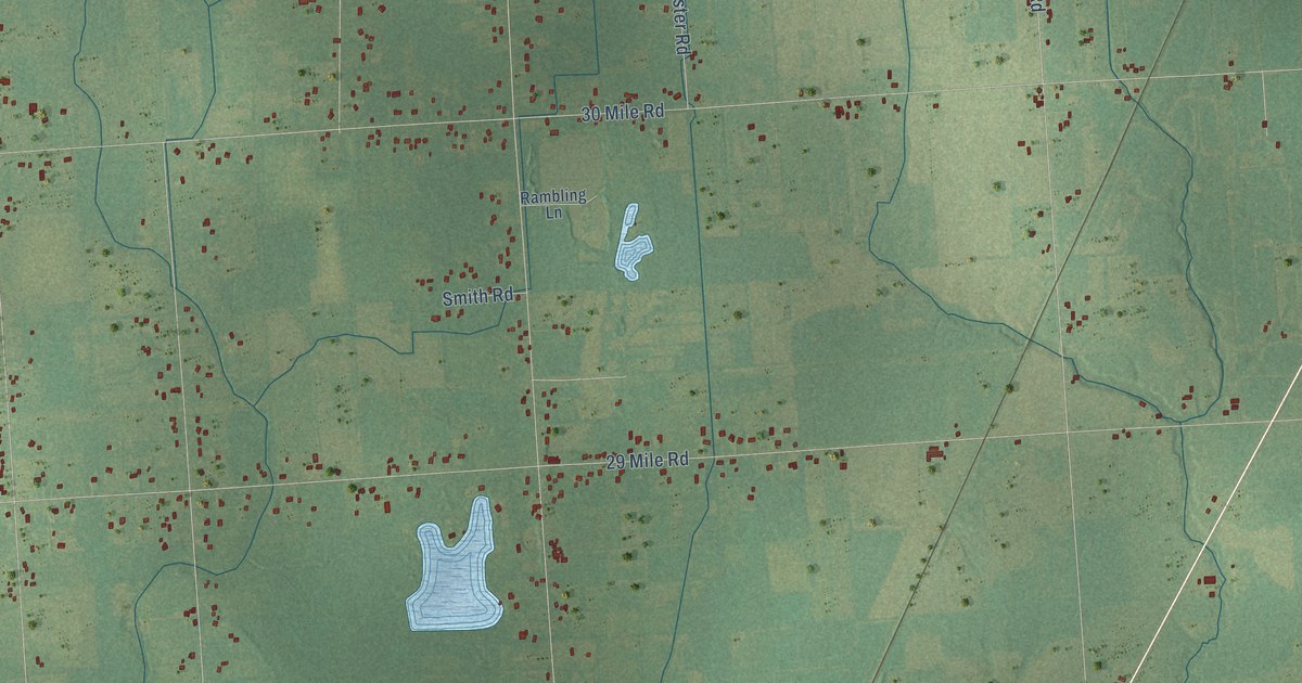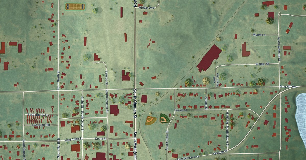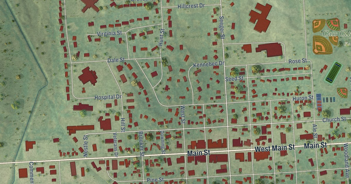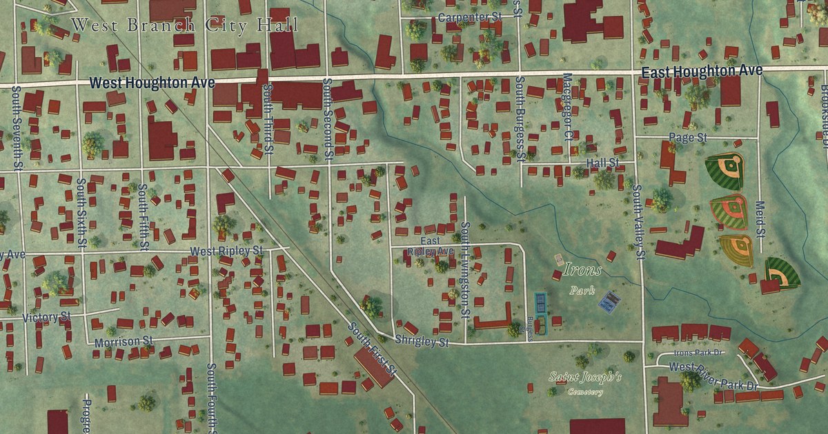
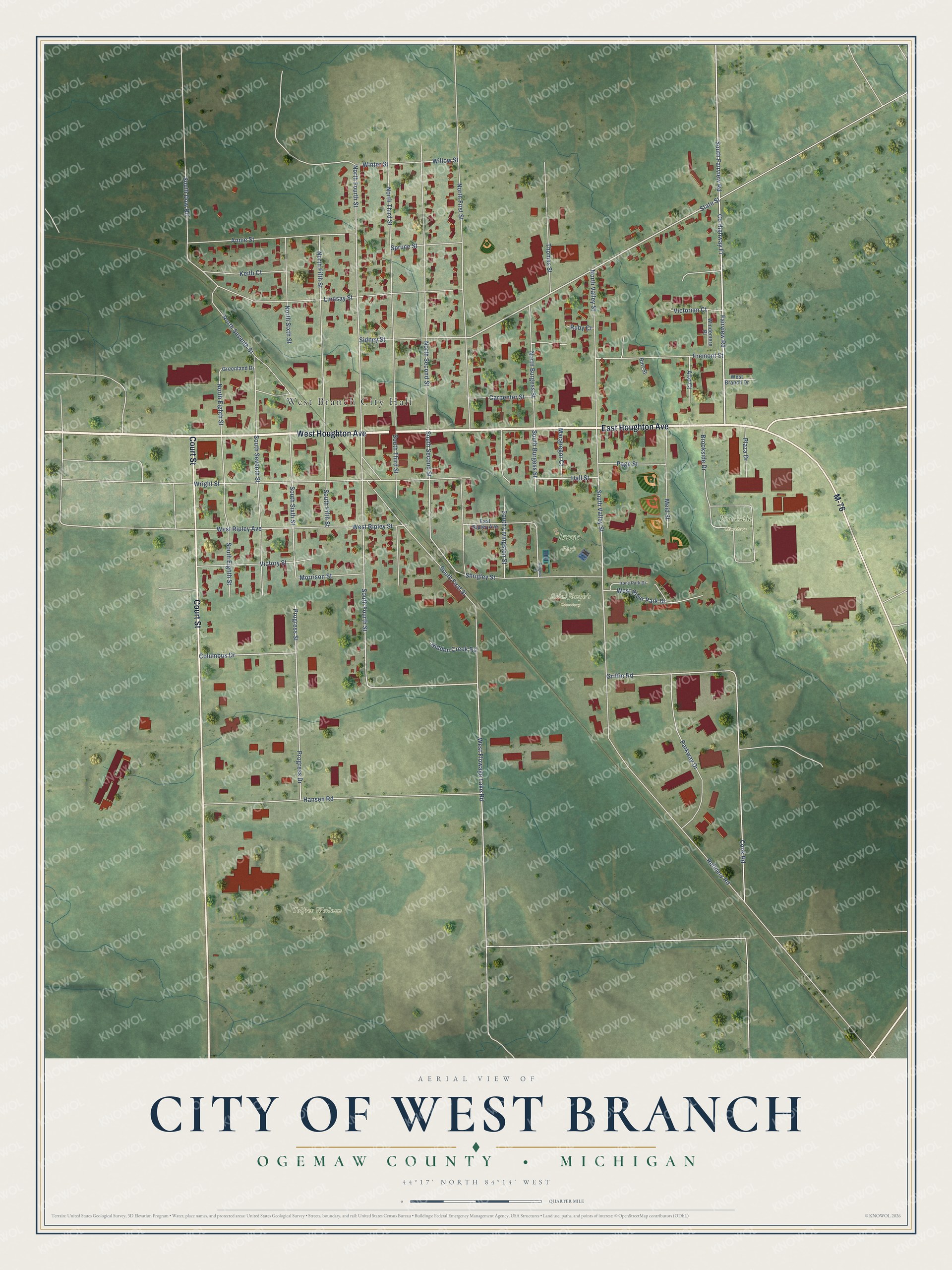
This beautifully detailed map of West Branch, Michigan was created in 2026 using aerial imagery combined with modern topographical, census, street and landmark data. It's a modern aerial view of West Branch in Ogemaw County, Michigan, that combines modern data with a vintage aesthetic. The roads feature printed names, and if you look closely you can find your exact house accurately shown in its correct location.
Explore an aerial view of West Branch, Michigan
On this map you'll find West Branch City Hall, Brookside Cemetery, Irons Park, Tolfree Wellness Park, Saint Joseph's Cemetery, East Houghton Avenue, West Houghton Avenue, Court Street, M-76, Fairview Road, Co Highway F7, State Street, and more. Each red shape is a building, so zoom in on the preview and look for yours.
West Branch has a story worth telling. The History of Northern Michigan and Its People puts it this way: "The Ogemaw County Herald was the first paper established in West Branch and had the field to itself from 1878 to 1882."
West Branch is a city in Ogemaw County. The Census Bureau counted 2,351 people here in 2020.
Take a closer look at the West Branch map
Names on this map
These names are printed on this map.
Places: West Branch City Hall, Brookside Cemetery, Irons Park, Tolfree Wellness Park and Saint Joseph's Cemetery.
Streets and roads: East Houghton Avenue, West Houghton Avenue, Court Street, M-76, Fairview Road, County Highway F7, State Street, South Fairview Road, Griffin Road, South Fourth Street, Columbus Drive, Progress Street.
More street names, A to Z
Alto Court, Annie Street, Brookside Drive, Burgess Street, Burr Street, Carpenter Street, Cook Road, East Ripley Avenue, Fremont Street, Greenland Drive, Hall Street, Hansen Road, Hidden Creek Road, Irons Park Drive, Keith Court, Lindsay Street, Macgregor Court, Meid Street, Morrison Street, North Burgess Street, North Eighth Street, North Fifth Street, North First Street, North Fourth Street, North Second Street, North Seventh Street, North Sixth Street, North Third Street, North Valley Street, Page Street, Parkway Drive, Plaza Drive, Progress Drive, Refinery Road, Ruby Court, Shrigley Street, Sidney Street, South Burgess Street, South Dow Road, South Eighth Street, South Fifth Street, South First Street, South Livingston Street, South Second Street, South Seventh Street, South Sixth Street, South Third Street, South Valley Street, Spruce Street, Thomas Street, Victorian Court, Victory Street, West Branch Drive, West Flowage Lake Road, West Ripley Avenue, West Ripley Street, West River Park Drive, Willow Street, Windemere Place, Winter Street, Wright Street.
Created by KNOWOL in 2026. The buildings are small red shapes, the roads carry their printed names, and shaded relief shows the shape of the land. The title panel reads "AERIAL VIEW OF CITY OF WEST BRANCH, OGEMAW COUNTY • MICHIGAN" with 44°17' NORTH 84°14' WEST.
It looks right in a kitchen, an office or a den, and it's a gift for anyone who grew up in West Branch or moved away. Open the preview and find your street. See sizes and frames for the West Branch map.