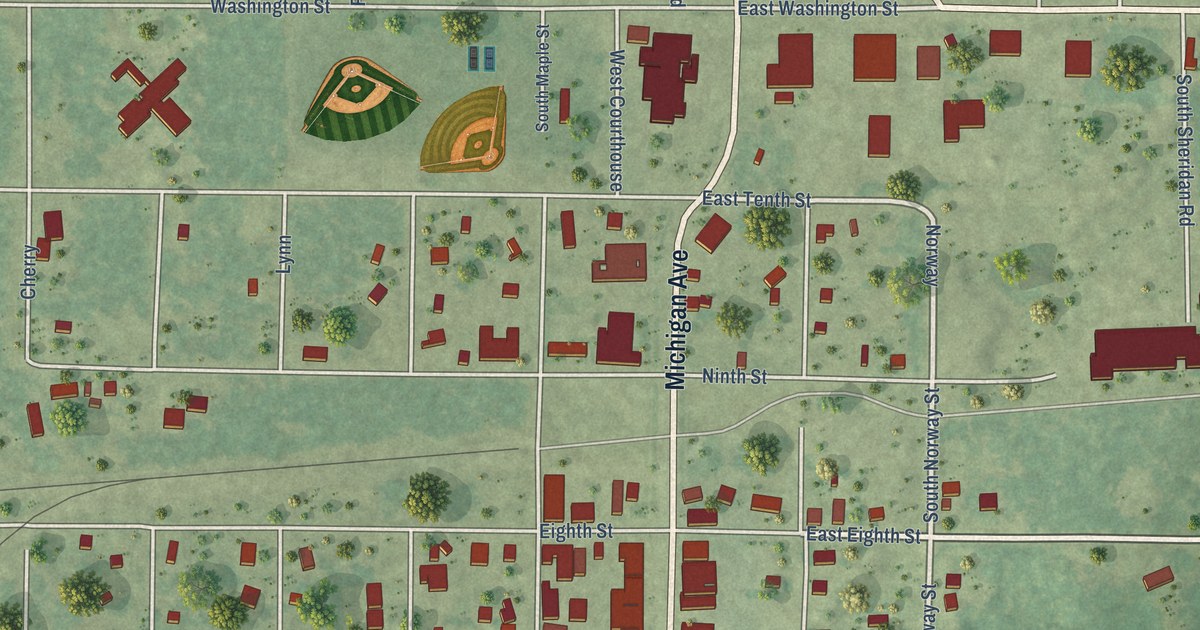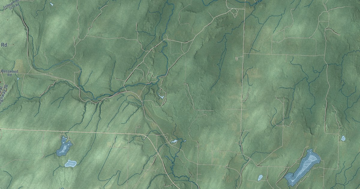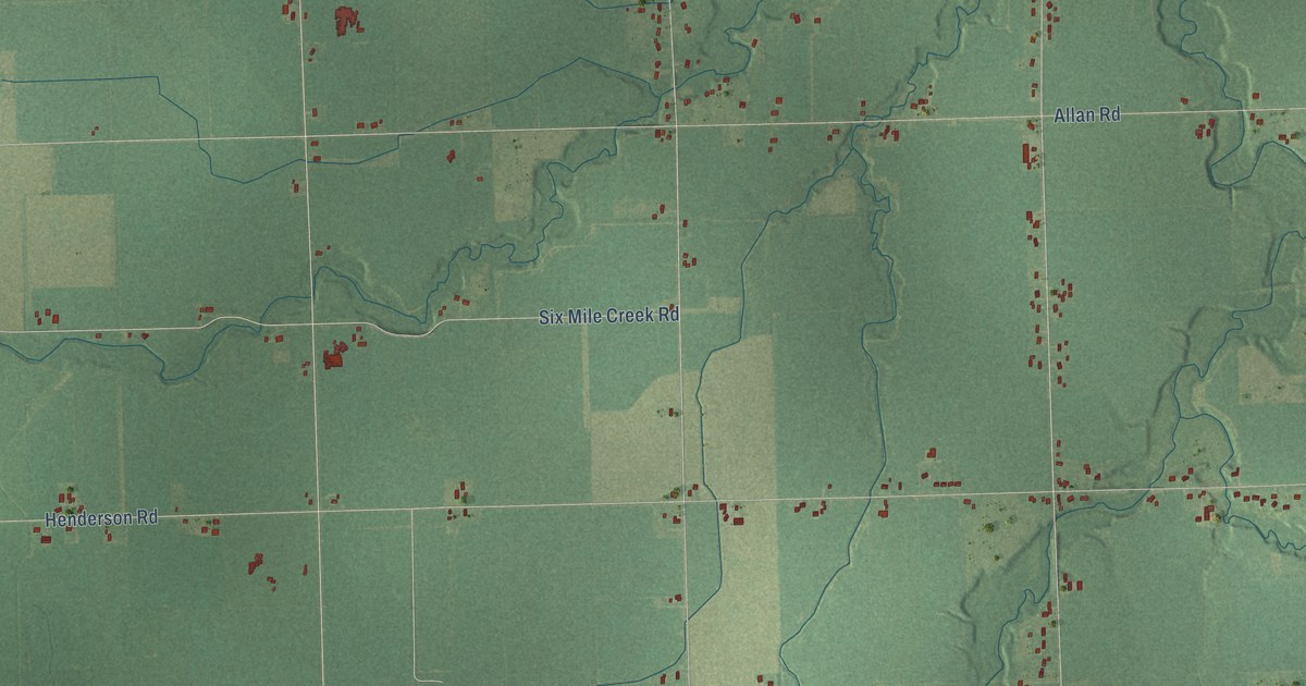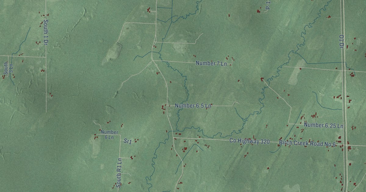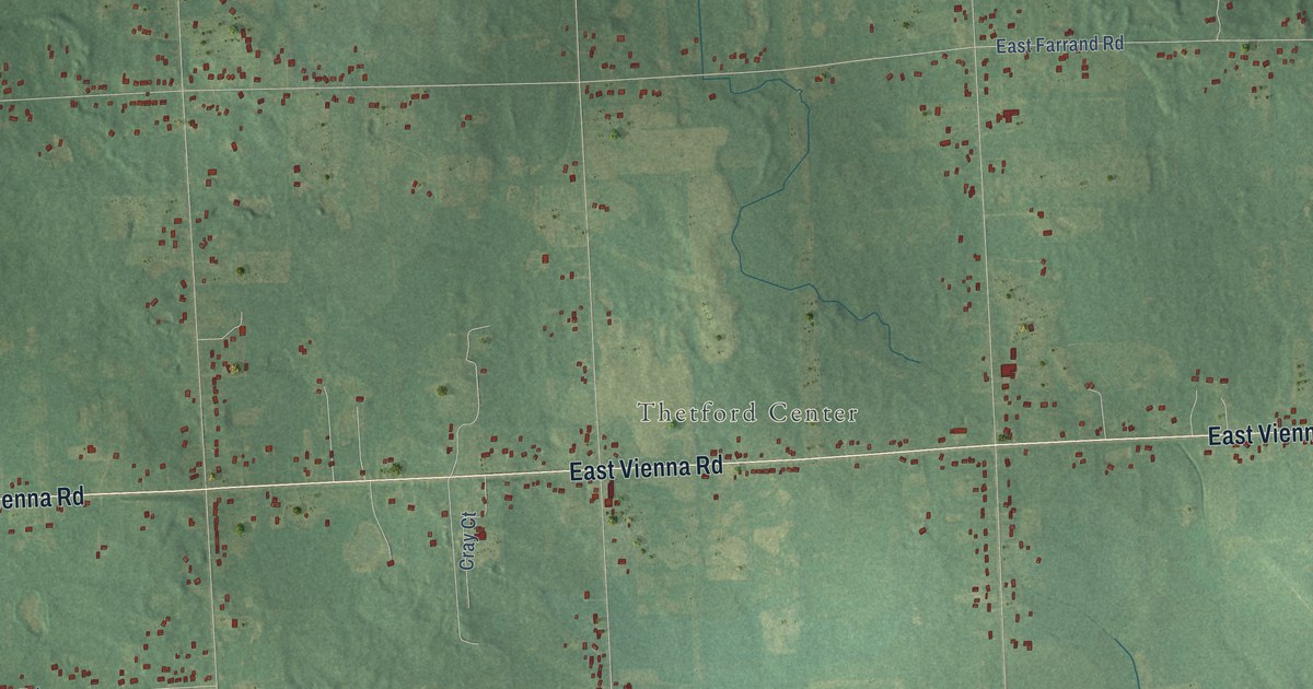
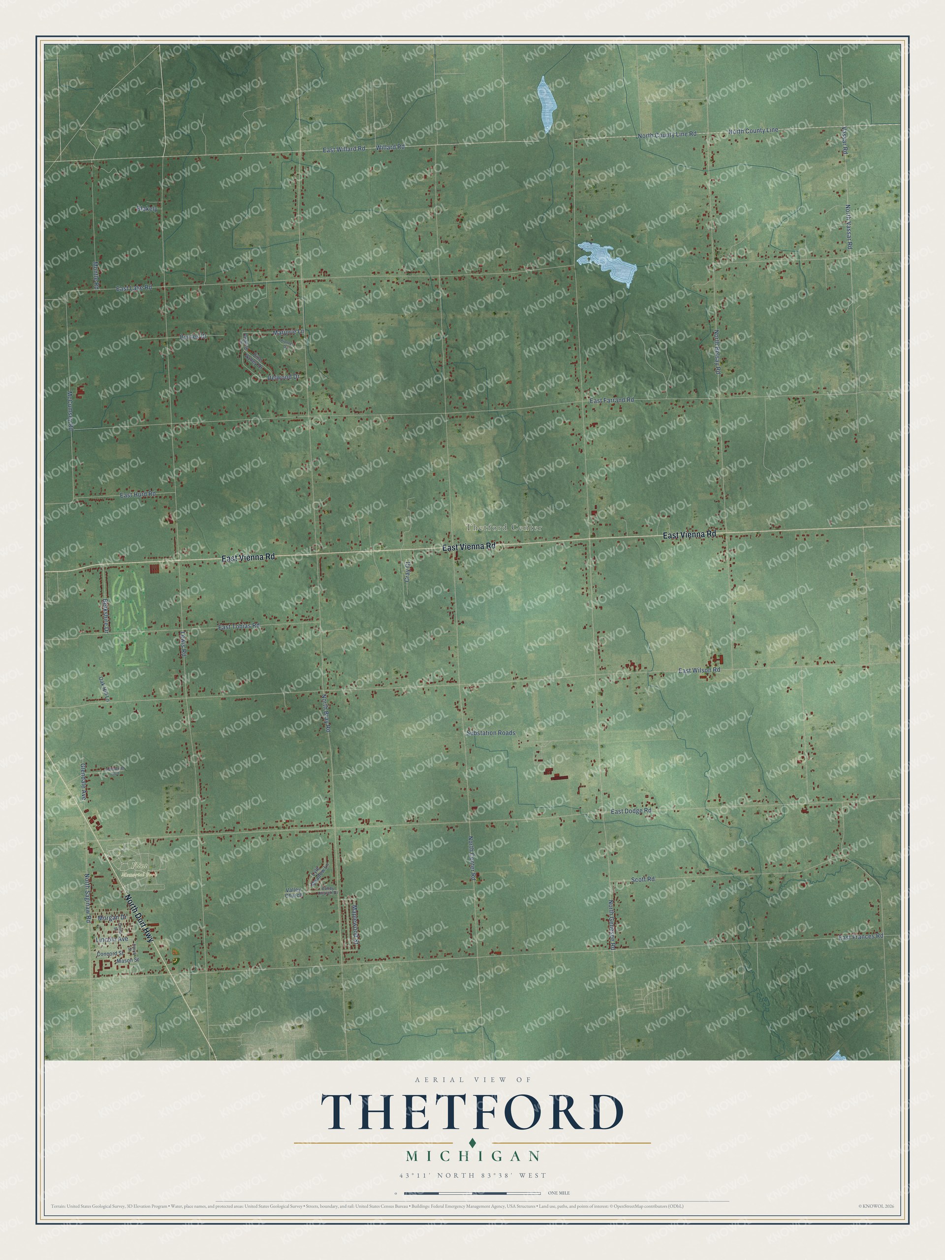
This beautifully detailed map of Thetford, Michigan was created in 2026 using aerial imagery combined with modern topographical, census, street and landmark data. It's a modern aerial view of Thetford in Genesee County, Michigan, that combines modern data with a vintage aesthetic. The roads feature printed names, and if you look closely you can find your exact house accurately shown in its correct location.
Explore an aerial view of Thetford, Michigan
On this map you'll find Thetford Center, Flint Memorial Park, East Vienna Road, North Dort Highway, Substation Roads, McCumsey Road, North Vassar Road, North Saginaw Road, Maplewood Street, Lewis Road, North Bray Road, North Center Road, and more. Each red shape is a building, so zoom in on the preview and look for yours.
Here is a piece of Thetford history, in the words of the record. The History of Genesee County puts it this way: "The first school-house in Thetford was the Fay schoolhouse, which was built on the northwest corner of section 31 in 1838. It was a frame building, size 20 by 24 feet, and was built by Isaac and Nelson S. Van Tuyl."
The Census Bureau counted 6,640 people here in 2020.
Take a closer look at the Thetford map
Names on this map
These names are printed on this map.
Places: Thetford Center and Flint Memorial Park.
Streets and roads: East Vienna Road, North Dort Highway, Substation Roads, McCumsey Road, North Vassar Road, North Saginaw Road, Maplewood Street, Lewis Road, North Bray Road, North Center Road, North Genesee Road, East Frances Road.
More street names, A to Z
Berkshire Drive, Blakely, Byrnes Drive, Center Street, Concord Street, Cray Court, Delwood Drive, East Dodge Road, East Farrand Road, East Hurd Road, East Lake Road, East Tobias Road, East Willard Road, East Wilson Road, Fourth Street, Glendale Avenue, Hollywood Boulevard, Lincoln Avenue, Lyle Meadow Lane, Marjorie Lane, Mason Street, Montle Road, Morgan Drive, North Belsay Road, North County Line, North County Line Road, Oak Hill Lane, Paradise Drive, Pine Valley Drive, Pioneer Drive, Scott Road, Valley Church, Valley Church Drive, Vassar Road, Willard Road.
Created by KNOWOL in 2026. The buildings are small red shapes, the roads carry their printed names, and shaded relief shows the shape of the land. The title panel reads "AERIAL VIEW OF THETFORD, MICHIGAN" with 43°11' NORTH 83°38' WEST.
It suits a den, a classroom or a front hall, and it makes a gift for anyone with Thetford roots. Open the preview and find the block you know. See sizes and frames for the Thetford map.