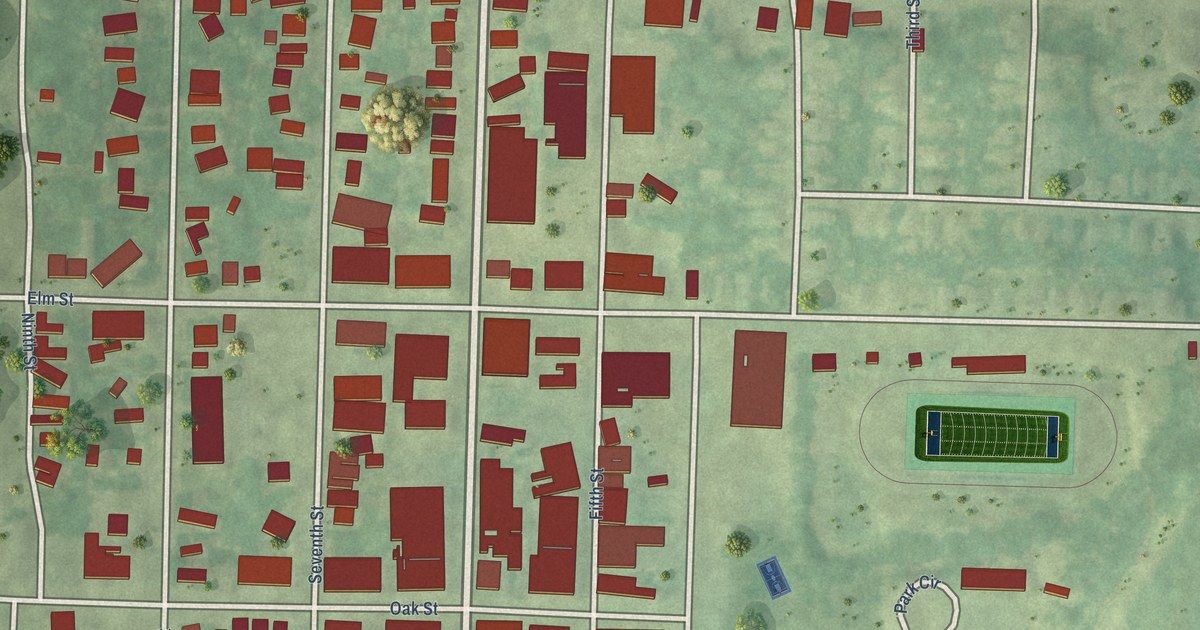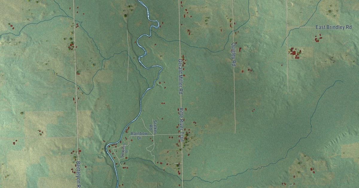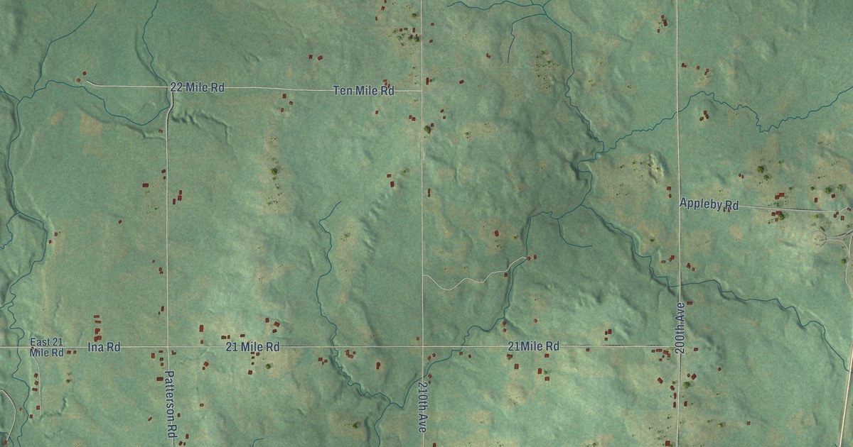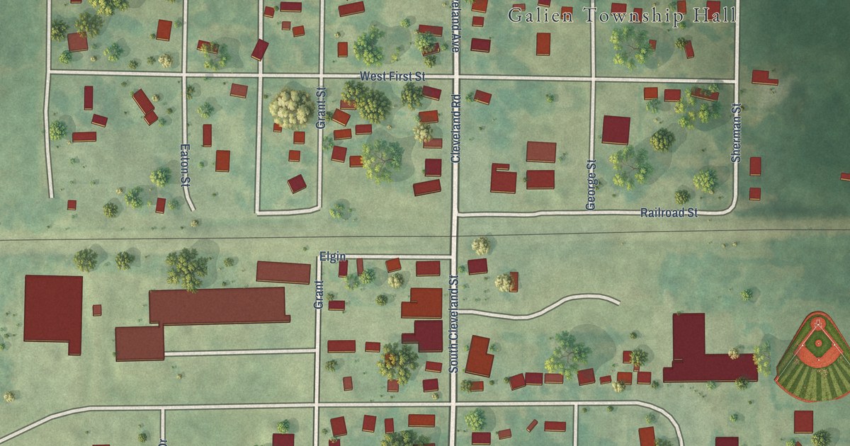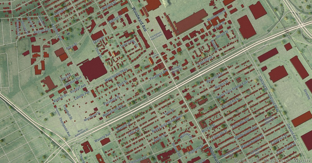
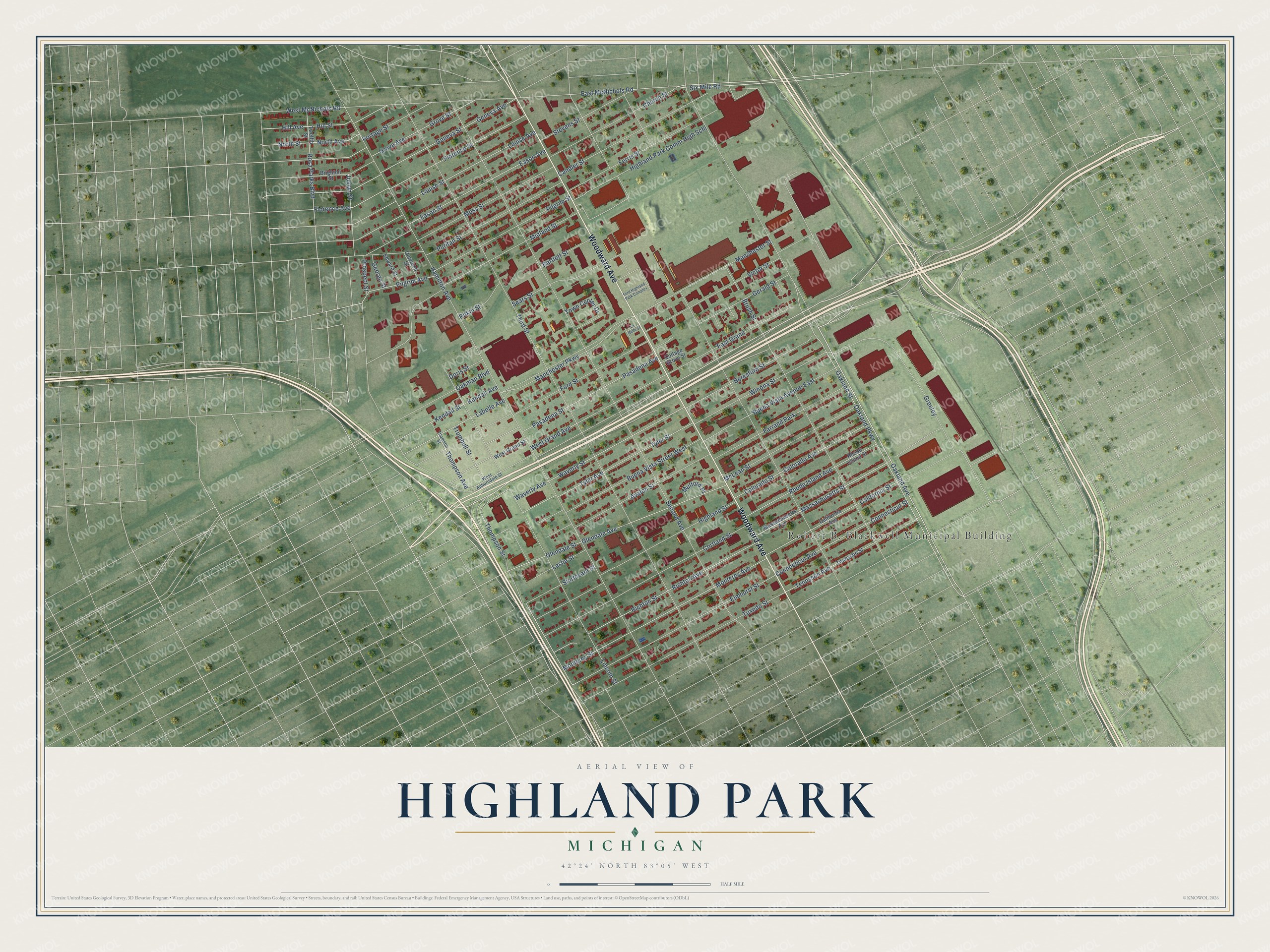
This beautifully detailed map of Highland Park, Michigan was created in 2026 using aerial imagery combined with modern topographical, census, street and landmark data. It's a modern aerial view of Highland Park in Wayne County, Michigan, that combines modern data with a vintage aesthetic. The roads feature printed names, and if you look closely you can find your exact house accurately shown in its correct location.
Explore an aerial view of Highland Park, Michigan
On this map you'll find Woodward Avenue, Oakland Avenue, Oakland Parkway, Massachusetts Street, Thompson Avenue, Thompson Street, East McNichols Road, Oakland Street, Highland Park Comm High Schl, Elmhurst Street, West Grand Avenue, Hamilton Avenue, and more. Each red shape is a building, so zoom in on the preview and look for yours.
Highland Park has a story worth telling. The record at arcgis.com puts it this way: "The Ford Motor Company Highland Park Plant was built between 1909 and 1920 on the lot bounded by Woodward, Manchester and Oakland Avenues, and three railroad tracks."
Highland Park is a city in Wayne County. The Census Bureau counted 8,977 people here in 2020.
Take a closer look at the Highland Park map
Names on this map
These names are printed on this map.
Places: Robert B. Blackwell Municipal Building and Farrand Park.
Streets and roads: Woodward Avenue, Oakland Avenue, Oakland Parkway, Massachusetts Street, Thompson Avenue, Thompson Street, East McNichols Road, Oakland Street, Highland Park Comm High Schl, Elmhurst Street, West Grand Avenue, Hamilton Avenue.
More street names, A to Z
Avalon Street, Bartlett Street, Beresford Street, Brighton Street, Brush Street, Buena Vista Avenue East, Buena Vista Street West, California Avenue, California Street, Candler Street, Church Street, Colorado Avenue, Colorado Street, Connecticut Avenue, Connecticut Street, Cortland Street, Cottage Grove Street, Curwood Street, Doris Street, Eason Avenue, Eason Street, East Grand, Edward Street, Ferris Street, Florence Avenue, Florence Street, Ford Highland Park Complex, Ford Street, Geneva Avenue, Geneva Street, George Street, Gerald Street, Glendale Avenue, Glendale Street, Greeley, Grove Avenue, Grove Street, Highland Street, Hill Avenue, Hill Street, Joslyn Street, Kendall Avenue, Kendall Street, Labelle Avenue, La Belle Street, Leslie Street, Lincoln Street, Louise Avenue, Louise Street, Manchester Parkway, Manchester Street, Massachusetts Avenue, McLean Street, Midland Street, Monterey Avenue, Monterey Street, Moss Street, Mulford Place, North Avenue, North Street, Oakman Boulevard, Pasadena Avenue, Pasadena Street, Pilgrim Avenue, Pilgrim Street, Pitkin Street, Portage Street, Prospect Street, Puritan Street, Rhode Island Avenue, Rhode Island Street, Richton Avenue, Richton Street, Rosa Parks Boulevard, Sears Street, Second Avenue, Six Mile Road, Stevens Street, Sturtevant Street, Tennyson Avenue, Tennyson Street, Third Street, Thomson Street, Town Center Drive, Trumbull Street, Tuxedo Street, Twelfth Street, Tyler Avenue, Tyler Street, Victor Street, Waverly Avenue, Waverly Street, West Auburndale Street, West Grand Street, West McNichols Road, Winona Street.
Created by KNOWOL in 2026. The buildings are small red shapes, the roads carry their printed names, and shaded relief shows the shape of the land. The title panel reads "AERIAL VIEW OF HIGHLAND PARK, MICHIGAN" with 42°24' NORTH 83°05' WEST.
It looks right in a kitchen, an office or a den, and it's a gift for anyone who grew up in Highland Park or moved away. Open the preview and find your street. See sizes and frames for the Highland Park map.