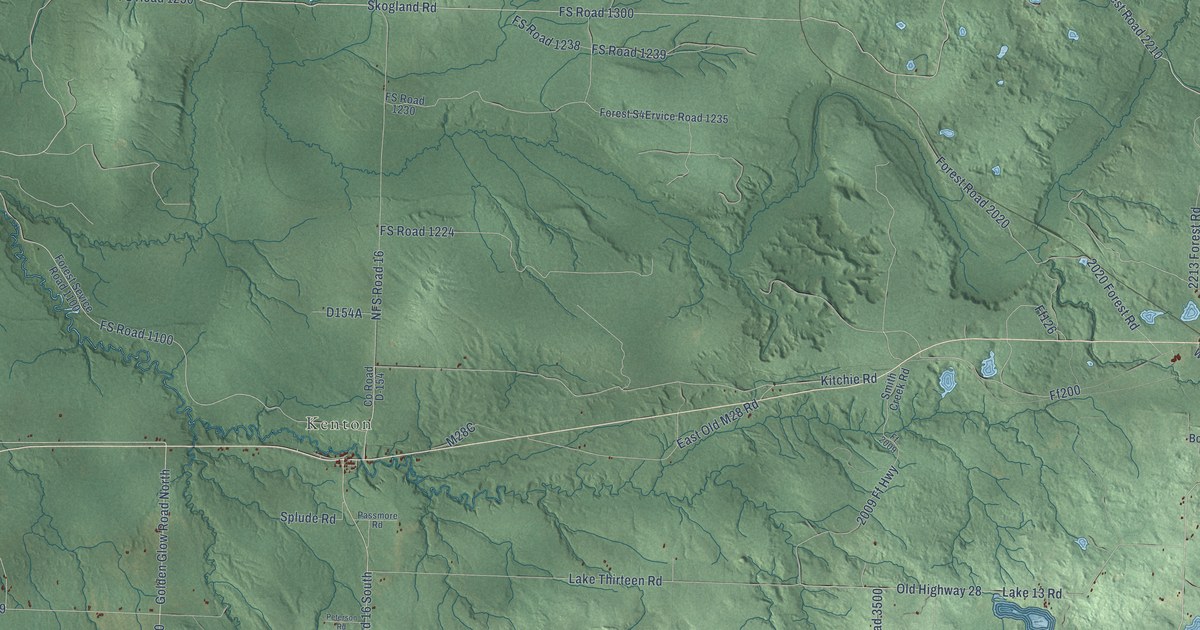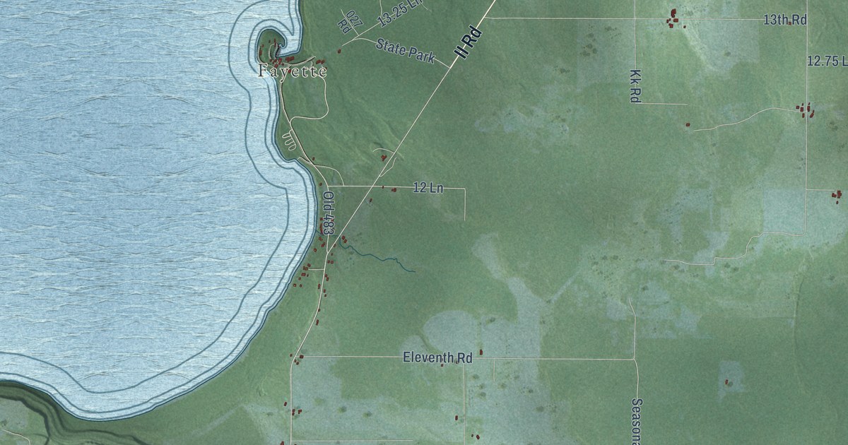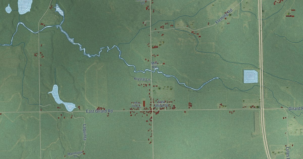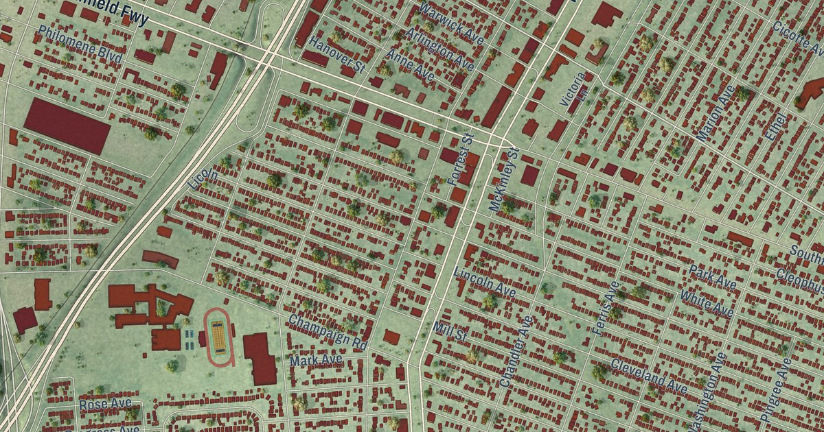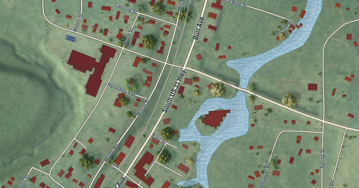
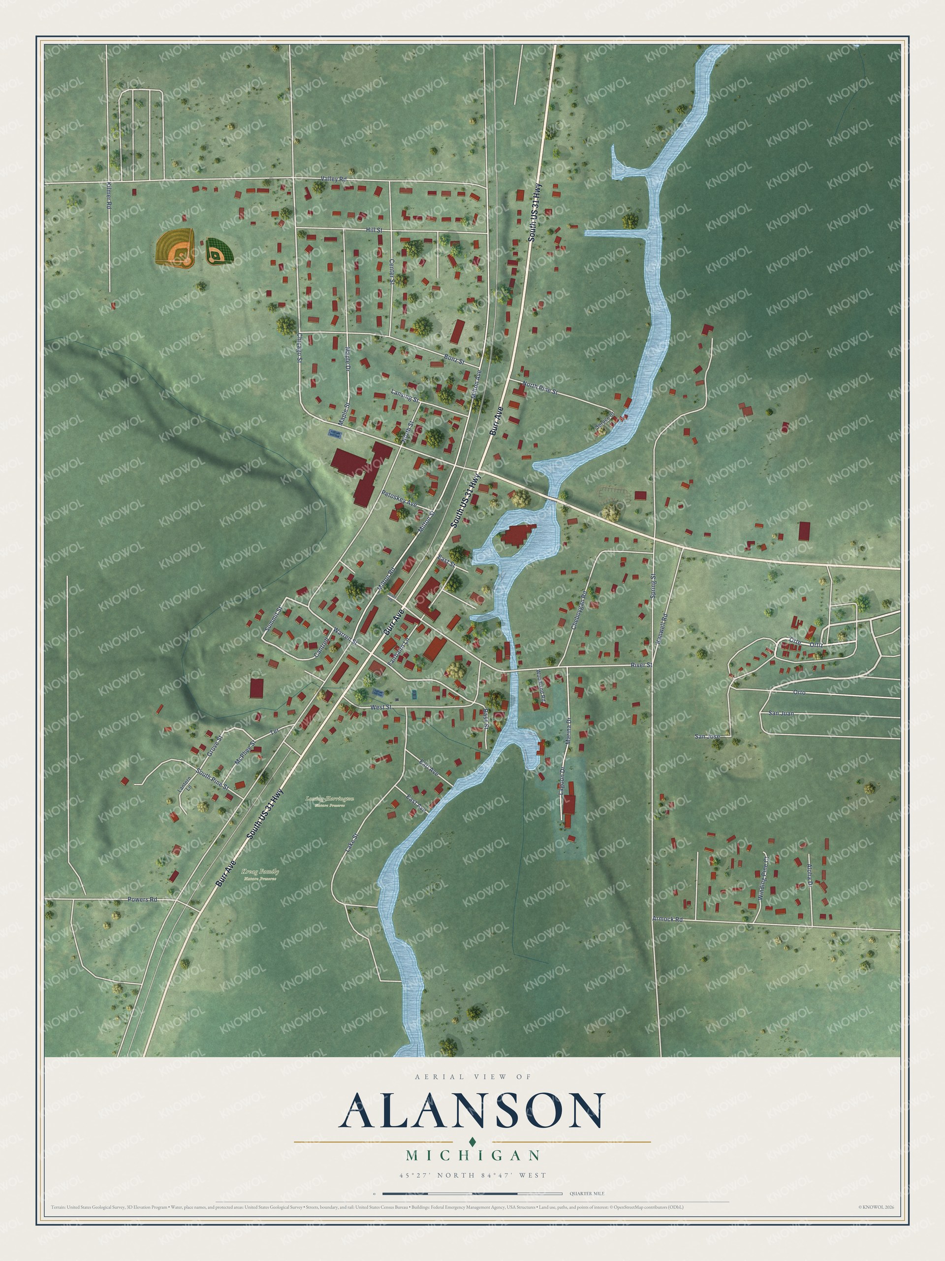
This beautifully detailed map of Alanson, Michigan was created in 2026 using aerial imagery combined with modern topographical, census, street and landmark data. It's a modern aerial view of Alanson in Emmet County, Michigan, that combines modern data with a vintage aesthetic. The roads feature printed names, and if you look closely you can find your exact house accurately shown in its correct location.
Explore an aerial view of Alanson, Michigan
On this map you'll find Lossing-Harrington Nature Preserve, Kreag Family Nature Preserve, South US 31 Highway, Burr Avenue, Ortiz, Orte, Summit Street, West Street, Warren Street, Milton Avenue, Chicago Street, Milton Street, and more. Each red shape is a building, so zoom in on the preview and look for yours.
Alanson has a story worth telling. The History of Northern Michigan and Its People puts it this way: "Alanson is quite a brisk little village, settled in 1877 and located on Crooked river about a mile north of Crooked lake. It is a station on the Grand Rapids & Indiana Railroad, has a sawmill and wooden ware factory and is the trading center of a thriving farming country."
Alanson is a village in Emmet County. The Census Bureau counted 778 people here in 2020.
Take a closer look at the Alanson map
Names on this map
These names are printed on this map.
Places: Lossing-Harrington Nature Preserve and Kreag Family Nature Preserve.
Streets and roads: South US 31 Highway, Burr Avenue, Ortiz, Orte, Summit Street, West Street, Warren Street, Milton Avenue, Chicago Street, Milton Street, River Street, Grove Street.
More street names, A to Z
Aloha Drive, Armock Road, Banwell Road, Bass Street, Bonz Street, Cantrell, Center Street, Cheboygan Road, Earl Avenue, East Avenue, East Street, Fairbairn Lane, Hill Street, Kilmer Road, Lagoon Drive, Lake Street, Lansing Street, Lantern Lane, Maple Drive, Maple Street, Marina Drive, McPhee Street, Milton Road, North Pine Street, North Street, Orto, Petoskey Avenue, Powers Road, River Road, San Jose, San Juan, South Pine Street, Spring Street, Spruce Street, Terrace, Valley Road, Winding Pine Court, Woodland Road.
Created by KNOWOL in 2026. The buildings are small red shapes, the roads carry their printed names, and shaded relief shows the shape of the land. The title panel reads "AERIAL VIEW OF ALANSON, MICHIGAN" with 45°27' NORTH 84°47' WEST.
It looks right in a kitchen, an office or a den, and it's a gift for anyone who grew up in Alanson or moved away. Open the preview and find your street. See sizes and frames for the Alanson map.