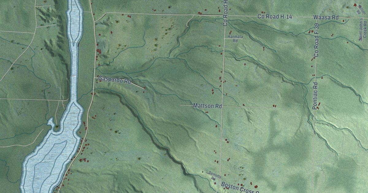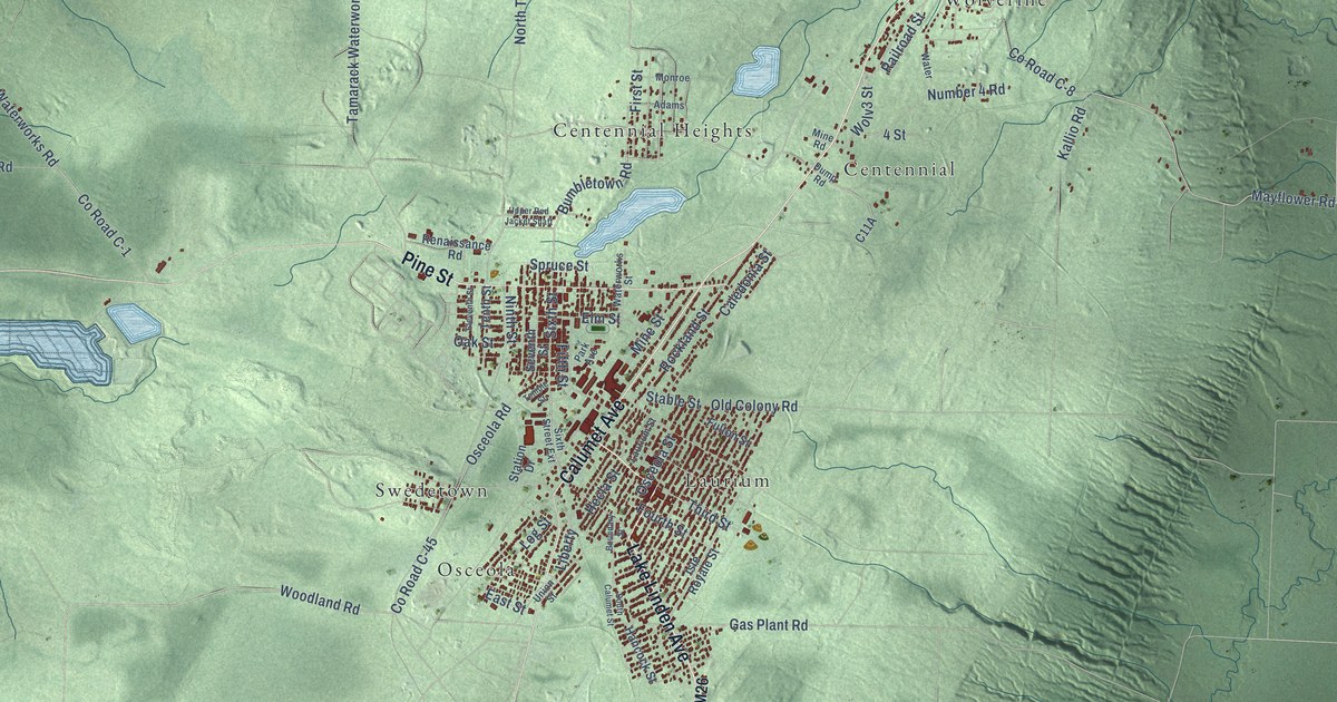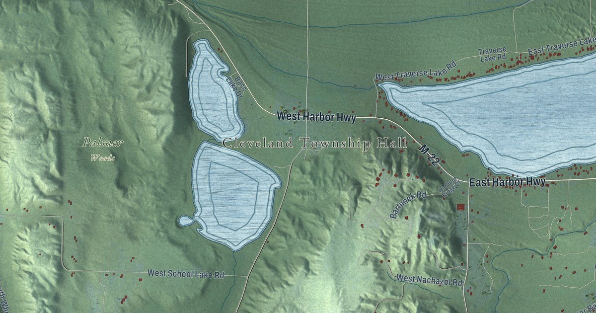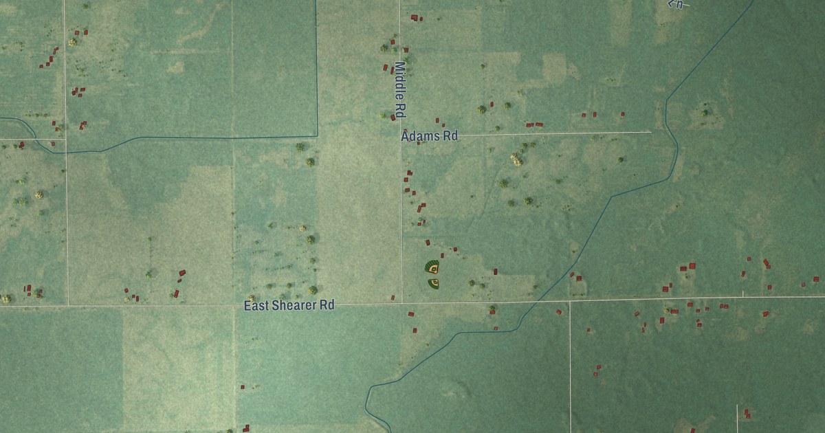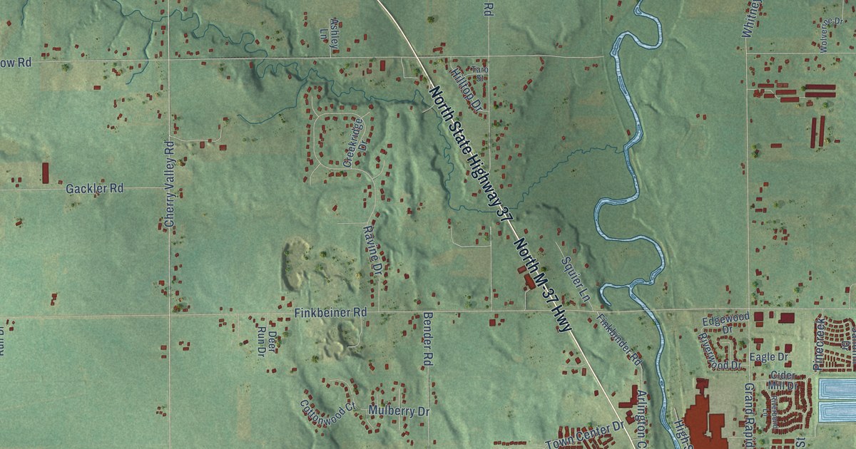
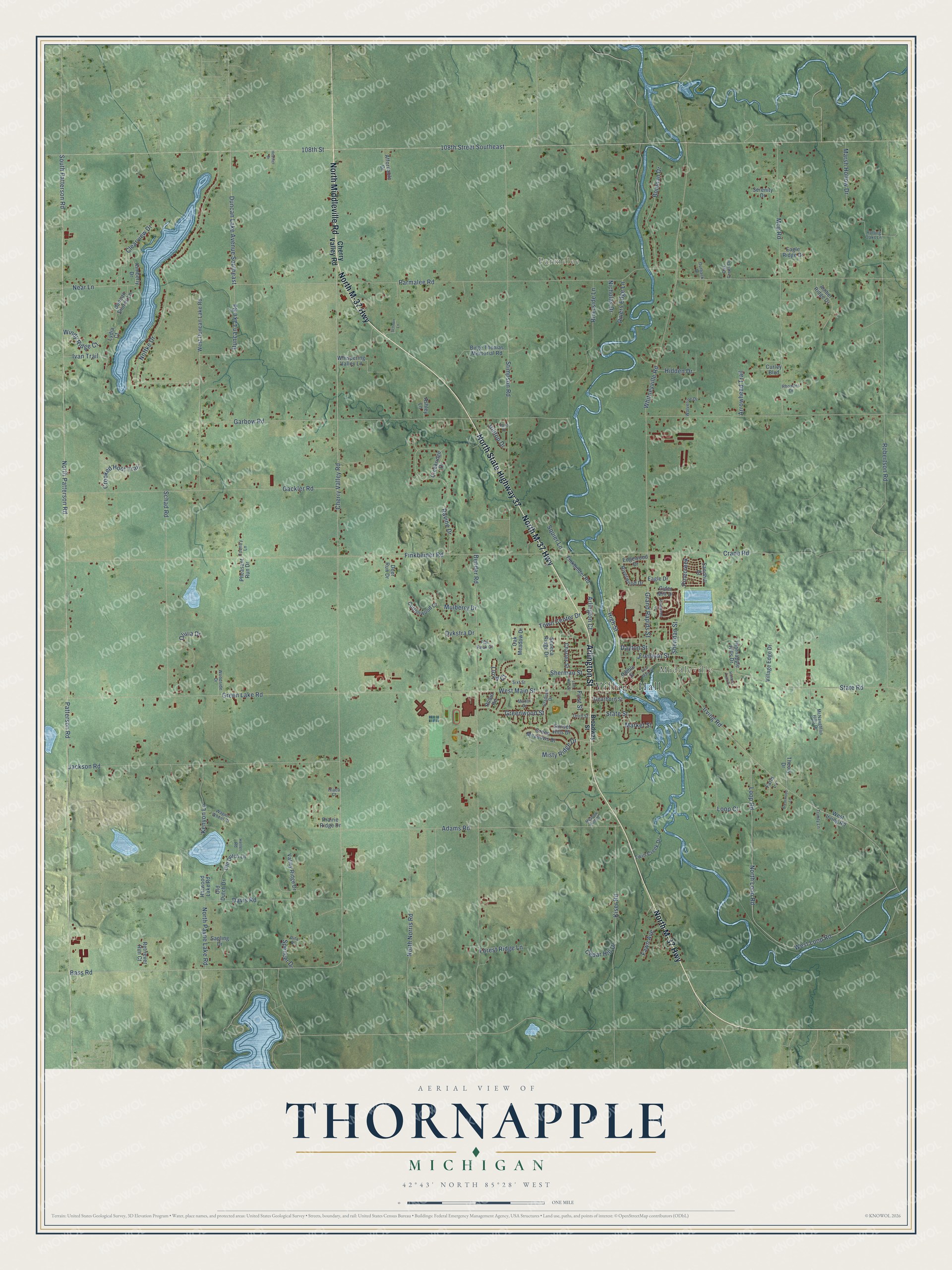
This beautifully detailed map of Thornapple, Michigan was created in 2026 using aerial imagery combined with modern topographical, census, street and landmark data. It's a modern aerial view of Thornapple in Barry County, Michigan, that combines modern data with a vintage aesthetic. The roads feature printed names, and if you look closely you can find your exact house accurately shown in its correct location.
Explore an aerial view of Thornapple, Michigan
On this map you'll find Village Hall, Parmelee, Middleville, North M-37 Highway, North State Highway 37, North Middleville Road, Arlington Street, Cherry Valley Road, Arlington Court, Bass Road, North Loop Road, Loop Court, and more. Each red shape is a building, so zoom in on the preview and look for yours.
Here is a piece of Thornapple history, in the words of the record. The History of Allegan and Barry Counties puts it this way: "North of Middleville is Parmelee Station, on the Michigan Central Railroad, so named in honor of E. K. Parmelee, who, after pioneering in Lenawee and Hillsdale Counties from 1836 to 1860, came in the latter year to Thornapple, and located on section 10."
The Census Bureau counted 9,331 people here in 2020.
Take a closer look at the Thornapple map
Names on this map
These names are printed on this map.
Places: Village Hall, Parmelee and Middleville.
Streets and roads: North M-37 Highway, North State Highway 37, North Middleville Road, Arlington Street, Cherry Valley Road, Arlington Court, Bass Road, North Loop Road, Loop Court, West Main Street, Crane Road, Grand Rapids Street.
More street names, A to Z
108th Street, 108th Street Southeast, Adams Road, Affordable Drive, Amber Ridge Drive, Arrowhead Trail, Ashley Lane, Bender Road, Birge Thomas Memorial Road, Bouman Drive, Brentwood Lane, Broadway Street, Cedar Hill Drive, Charles Street, Cider Mill Drive, Clearview Drive, Cottonwood Court, Country Lane, Creekridge Drive, Crooked Hoof Trail, Curley Boulevard, Davis Road, Dayton Street, Dearborn Street, Deer Run Drive, Dibble Street, Duncan Lake Avenue Southeast, Duncan Lake Road, Duncan Shores Lane, Dykstra Drive, Eagle Drive, Eagle Ridge Drive, East Main Street, Edgewood Drive, Farm Lane, Fawn Avenue, Finkbeiner Road, Finkbinder Road, First Street, Flat Rock Court, Forest Ridge Lane, Fremont Street, Gackler Road, Garbow Road, Green Lake Road, Green Meadows Drive, Greenwood Street, Harwood Lake Road, Heather Drive, Heller Road, Hiaca Court, Hidden Drive, High Street, Hilltop Drive, Hunters Trail Drive, Irving Road, Ivan Trail, Jackson Road, Kenyon Lane, Kimberly Drive, Kiser Road, Lem Paul Street, Lloyd Court, Loop Road, Lydia Court, Manor Drive, Market Street, Marsh Hollow Drive, McNaughton Hills Drive, Meadow Hills Drive, Misty Ridge Drive, Moe Road, Mulberry Drive, Near Lane, Nicholas Drive, Noffke Drive, North Norris Road, North Patterson Road, North Payne Lake Road, Oak Creek Drive, Oak Meadow Drive, Old Dutch Drive, Old Dutch Lane, Olivia Drive, Outback Drive, Parmalee Road, Patterson Road, Pheasant Run Drive, Pinecreek, Prairie Ridge Drive, Ravine Drive, Retriever Run Court, Rhoades Drive, Rita Drive, Riverbend Lane, Rivers Edge Lane, Riverside Lane, Riverwood Drive, Robertson Road, Robin Road, Rolling Oaks Lane, Sandhill Drive, Sapling Drive, Schad Road, Schnurr Lane, Seneca Ridge Drive, Serenity Drive, Sheridan Street, Sherman Street, Sixt Street, South Patterson Road, Spencer Drive, Squier Lane, Stadium Drive, State Road, State Street, Stimpson Road, Sunset Hills Drive, Taro Street, Theory Drive, Third Street, Thornapple Hills Drive, Town Center Drive, Trinity Lane, Twin Creek Drive, Valley Ridge Drive, Village Edge Drive, Wagon Wheel Court, West Duncan Lake Road, West Irving Road, West Loop Road, Whispering Valley Lane, Whitneyville Road, Windy Ridge Court, Wolverine Drive, Woodside Drive.
Created by KNOWOL in 2026. The buildings are small red shapes, the roads carry their printed names, and shaded relief shows the shape of the land. The title panel reads "AERIAL VIEW OF THORNAPPLE, MICHIGAN" with 42°43' NORTH 85°28' WEST.
It suits a den, a classroom or a front hall, and it makes a gift for anyone with Thornapple roots. Open the preview and find the block you know. See sizes and frames for the Thornapple map.