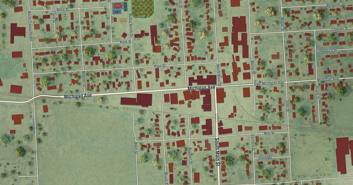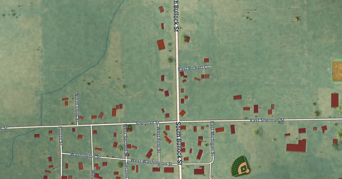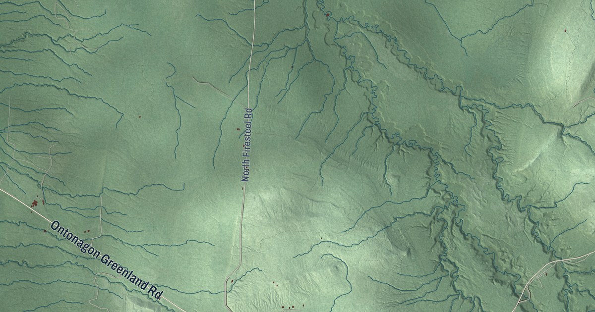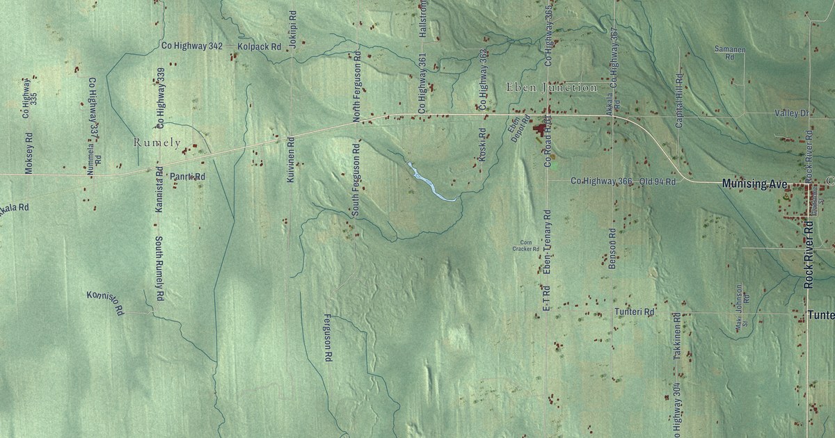
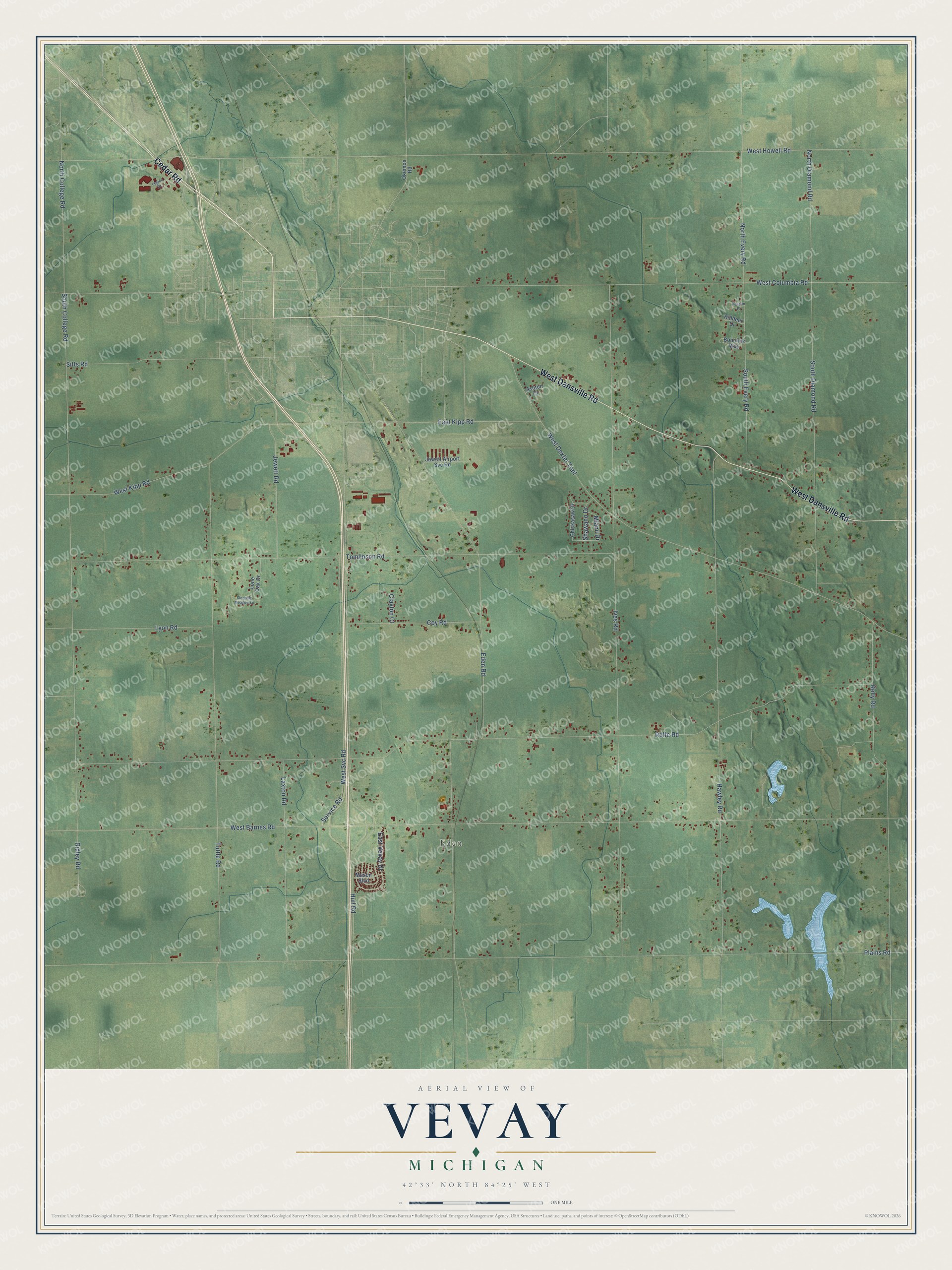
This beautifully detailed map of Vevay, Michigan was created in 2026 using aerial imagery combined with modern topographical, census, street and landmark data. It's a modern aerial view of Vevay in Ingham County, Michigan, that combines modern data with a vintage aesthetic. The roads feature printed names, and if you look closely you can find your exact house accurately shown in its correct location.
Explore an aerial view of Vevay, Michigan
On this map you'll find Eden, West Dansville Road, Cedar Road, South College Road, West Svc Road, Service Road, West Barnes Road, Plains Road, Rolfe Road, Ives Road, West Howell Road, Eden Road, and more. Each red shape is a building, so zoom in on the preview and look for yours.
Here is a piece of Vevay history, in the words of the record. The History of Ingham and Eaton Counties puts it this way: "The first settler at Mason, or in what is now the township of Vevay, was Lewis Lacey, who came here in February or March, 1836, to build a saw-mill for Noble & Co., of Monroe, and to chop twenty acres on section 8."
The Census Bureau counted 3,606 people here in 2020.
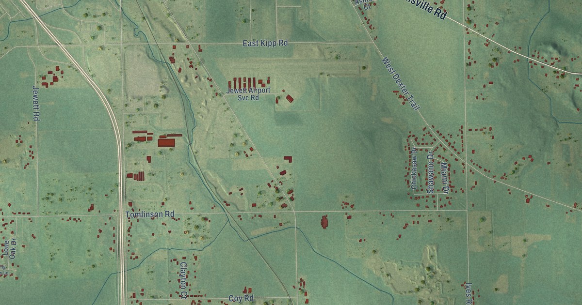
Take a closer look at the Vevay map
Names on this map
These names are printed on this map.
Places: Eden.
Streets and roads: West Dansville Road, Cedar Road, South College Road, West Svc Road, Service Road, West Barnes Road, Plains Road, Rolfe Road, Ives Road, West Howell Road, Eden Road, Tomlinson Road.
More street names, A to Z
Ashton Court, Bobolink Way, Chickasaw Drive, Clayton Court, Coy Road, East Kipp Road, East Vevay Drive, Hawley Road, Hull Road, Jewett Airport Svc Road, Jewett Road, Kelly Road, Killdeer Drive, Laxton Road, Legion Drive, Lone Oak Drive, Lyon Road, Mason Boulevard, Miami Drive, North College Road, North Diamond Road, North Every Road, Okemos Road, Pelican Place, Ridley Road, Shawano Drive, Sitts Road, Sleeping Meadow Lane, South Diamond Road, South Every Road, Tuttle Road, West Columbia Road, West Dexter Trail, West Kipp Road.
Created by KNOWOL in 2026. The buildings are small red shapes, the roads carry their printed names, and shaded relief shows the shape of the land. The title panel reads "AERIAL VIEW OF VEVAY, MICHIGAN" with 42°33' NORTH 84°25' WEST.
It suits a den, a classroom or a front hall, and it makes a gift for anyone with Vevay roots. Open the preview and find the block you know. See sizes and frames for the Vevay map.