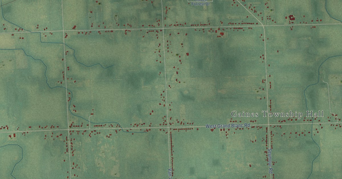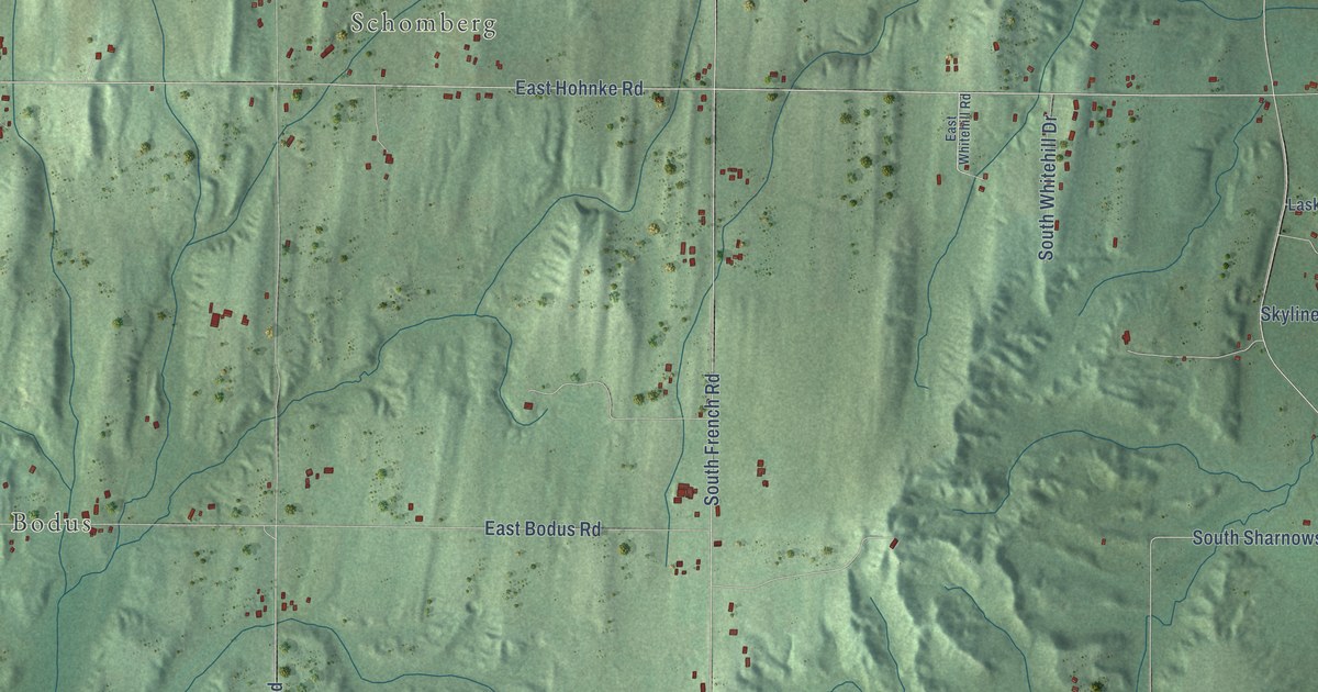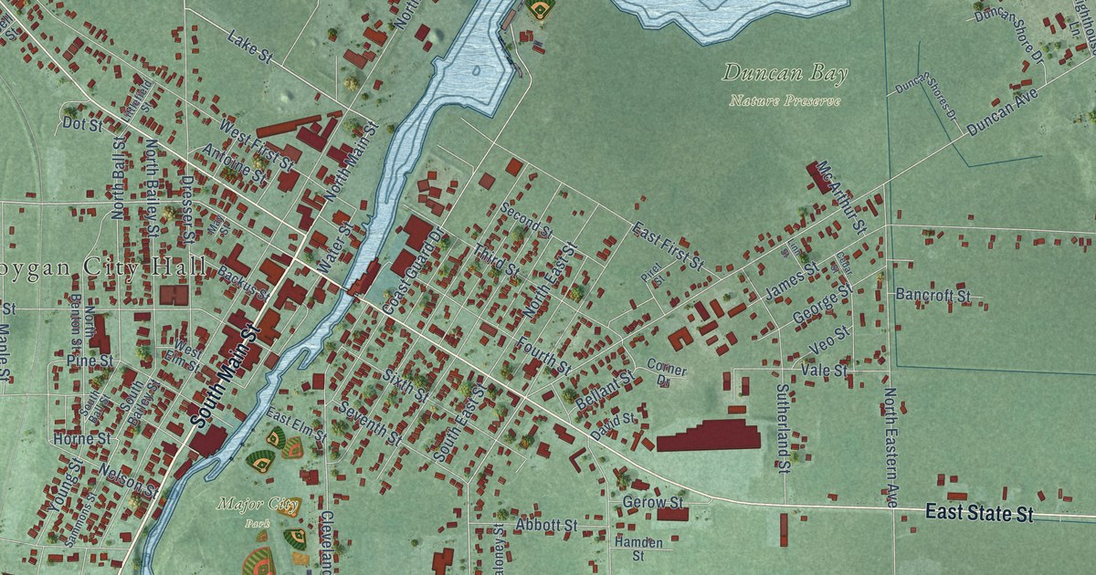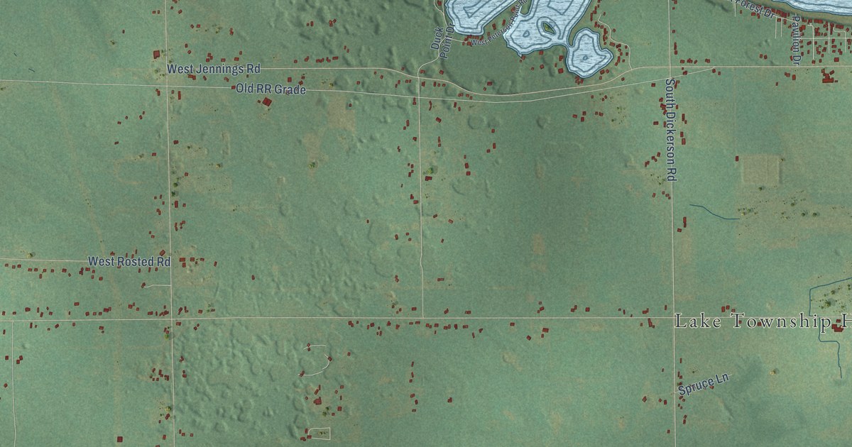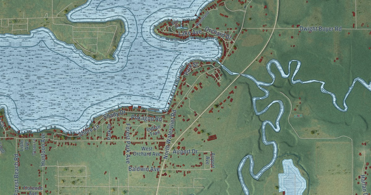
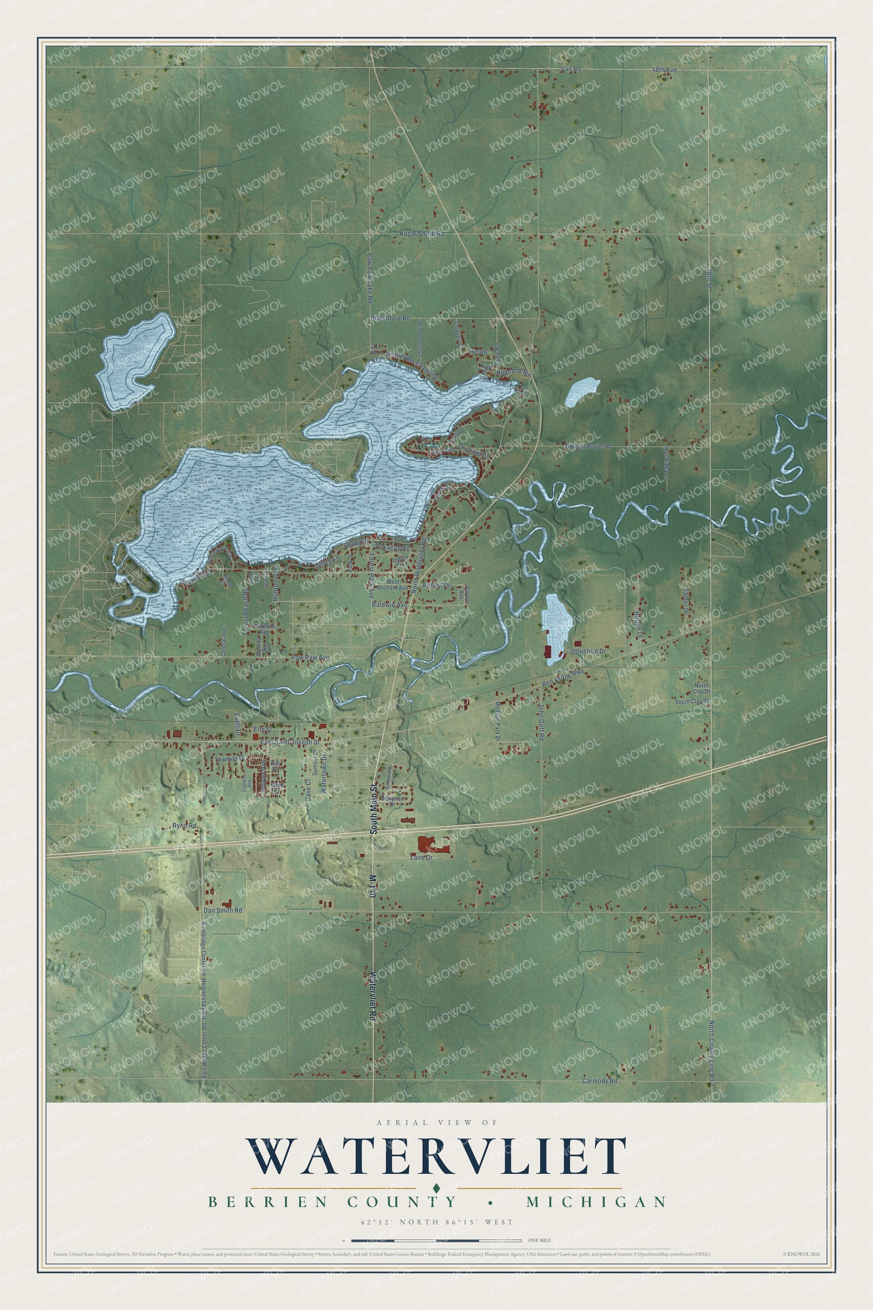
This beautifully detailed map of Watervliet, Michigan was created in 2026 using aerial imagery combined with modern topographical, census, street and landmark data. It's a modern aerial view of Watervliet in Berrien County, Michigan, that combines modern data with a vintage aesthetic. The roads feature printed names, and if you look closely you can find your exact house accurately shown in its correct location.
Explore an aerial view of Watervliet, Michigan
On this map you'll find M-140, South Main Street, Watervliet Road, East Saint Joseph Street, 70th Street, North County Line Road, Lake Avenue, Red Arrow Highway, Pokagon Road, North Watervliet Road, Dan Smith Road, Carmody Road, and more. Each red shape is a building, so zoom in on the preview and look for yours.
Here is a piece of Watervliet history, in the words of the record. The Twentieth Century History of Berrien County puts it this way: "Among the persons who accompanied Isaac Moffatt to Watervliet in 1836, was Moses Osgood, who settled in Watervliet township near Coloma and engaged in farming."
The Census Bureau counted 3,036 people here in 2020.
Take a closer look at the Watervliet map
Names on this map
These names are printed on this map.
Streets and roads: M-140, South Main Street, Watervliet Road, East Saint Joseph Street, 70th Street, North County Line Road, Lake Avenue, Red Arrow Highway, Pokagon Road, North Watervliet Road, Dan Smith Road, Carmody Road.
More street names, A to Z
48th Avenue, Airport Avenue, Airport Drive, Ash Drive, Bain Bridge Center Road, Bainbridge Center Road, Baldwin Avenue, Beechwood Circle, Birch Drive, Blatchford Road, Case Court, Central Avenue, Cypress Avenue, Doty Road, Dwight Boyer Road, Elm Drive, Elm Street, Evett Drive, Florence Avenue, Forest Beach Road, Forest Park Avenue, Green Way, Gyspy Lane, Hagar Shore Road, Harbor Cross, Harlan Drive, Hennessey Road, Heron, Highland Road, High Street, Huckaba Lane, Huntoon Avenue, Indian Trail, Industrial Drive, John Goff Road, Juniper Avenue, Knoll Court, Lane Drive, Lisle Avenue, Medical Park Drive, North Bay Drive, North Clay Drive, Orchard Drive, Osprey Court, Park Drive, Park Street, Paw Paw Avenue, Paw Paw Lake Road, Ryno Road, Sadler Drive, Shady Drive, Shore Lane, South Clay Drive, Stanley Avenue, Sumner Drive, Sutherland Avenue, Thomas Drive, Van Road, Verlynda Drive, Watertown Drive, West Orchard Avenue, Windemere Lane, Windermere Landing, Woodland.
Created by KNOWOL in 2026. The buildings are small red shapes, the roads carry their printed names, and shaded relief shows the shape of the land. The title panel reads "AERIAL VIEW OF WATERVLIET, BERRIEN COUNTY • MICHIGAN" with 42°12' NORTH 86°15' WEST.
It suits a den, a classroom or a front hall, and it makes a gift for anyone with Watervliet roots. Open the preview and find the block you know. See sizes and frames for the Watervliet, Berrien County map.