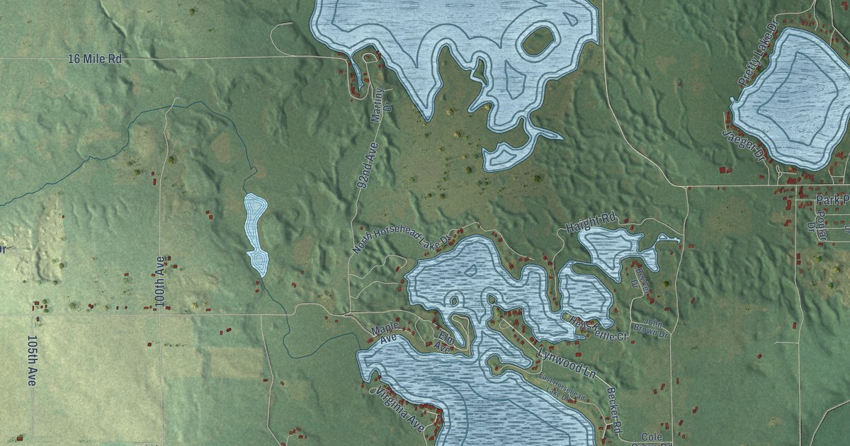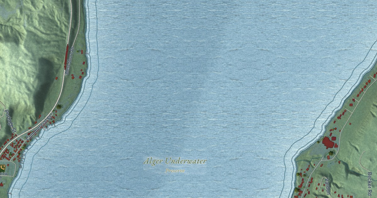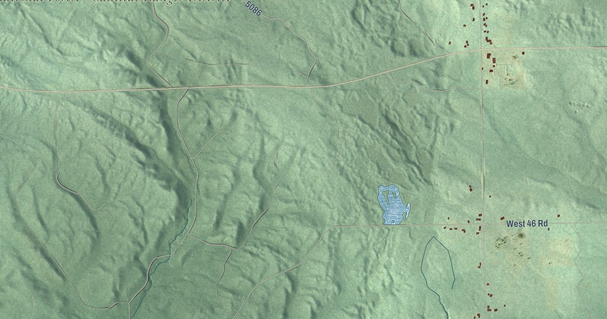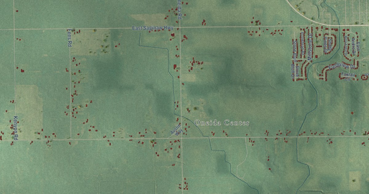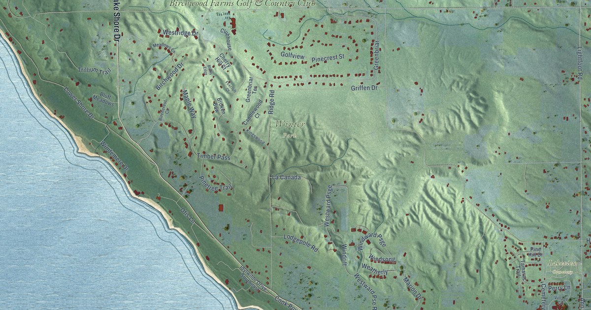
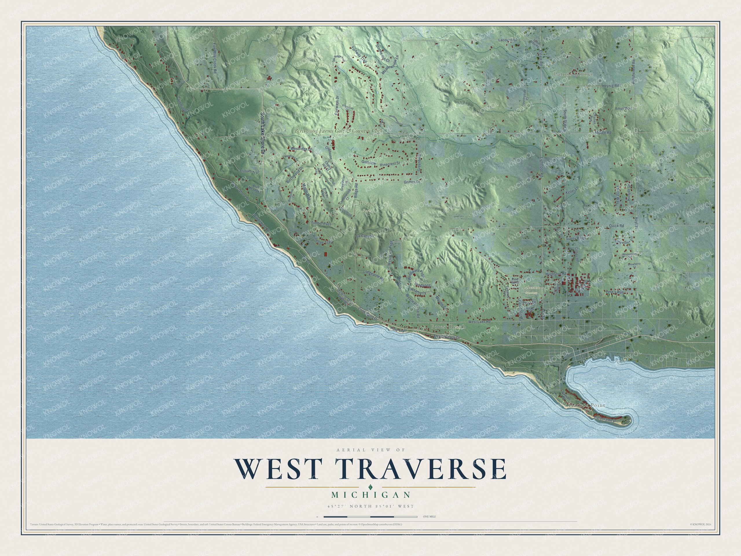
This beautifully detailed map of West Traverse, Michigan was created in 2026 using aerial imagery combined with modern topographical, census, street and landmark data. It's a modern aerial view of West Traverse in Emmet County, Michigan, that combines modern data with a vintage aesthetic. The roads feature printed names, and if you look closely you can find your exact house accurately shown in its correct location.
Explore an aerial view of West Traverse, Michigan
On this map you'll find Harbor Point, Patons Corner, Forest Beach, Lakeview Cemetery, Winter Park, Birchwood Farms Golf & Country Club, South Lake Shore Drive, Lightfoot Road, Ann Street, Estate Road, West Lake Road, Windward Psge, and more. Each red shape is a building, so zoom in on the preview and look for yours.
The Census Bureau counted 1,768 people here in 2020. The map prints the town name in its title panel, with the coordinates below it.
Take a closer look at the West Traverse map
Names on this map
These names are printed on this map.
Places: Harbor Point, Patons Corner, Forest Beach, Lakeview Cemetery, Winter Park and Birchwood Farms Golf & Country Club.
Streets and roads: South Lake Shore Drive, Lightfoot Road, Ann Street, Estate Road, West Lake Road, Windward Psge, Middle Road, Hughston Road, Lower Shore Drive, Greenbriar, South State Street, Hoyt Street.
More street names, A to Z
Amys Way, Bayside Drive, Birchcrest Court, Birchwood Drive, Bluff Meadows, Bluffs Edge, Bluffside Drive, Broken Bow, Candlewood Court, Cemetery Road, Charlies Run, Cherry Hill Court, Clubhouse, Collins Drive, Cook Point Drive, Countryside Court, Cummings Lane, Evergreen Ridge Drive, Fairways Drive, Five Mile Creek Road, Forest Beach Drive, Forest Way, Foxcroft Court, Franklin Street, Golfview, Greenbriar Terrace, Greenway Drive, Griffen Drive, Harborside Drive, Heynig Road, Hillside Drive, Idylwilde Drive Southeast, Keller Lane, Kingswood, La Canada, Lacount Road, Lodgepole Road, Maple Way, Marion Drive, Meadowlands Trail, Meadows Lane, Meadowview Lane, Meadowwood Court, Oak Ridge Trail, Otis Lane, Perry Lane, Pete's Run, Pinecrest Street, Pine Hill Drive, Pine Trail, Pinetree Trail, Quick Road, Ridge Road, Rolling Meadow Trail, Snowberry Court, South State Road, Stoney Hill Court, Sunny Ridge, Tamarac Trail, Timber Pass, Trillium Trail, Turfway Trail, Village Circle, Village Lane, Weatherly, Welsheimer Road, Westridge Drive, Westward Pse Road, Westward Psge, Windemere Drive, Windrift, Windsong.
Created by KNOWOL in 2026. The buildings are small red shapes, the roads carry their printed names, and shaded relief shows the shape of the land. The title panel reads "AERIAL VIEW OF WEST TRAVERSE, MICHIGAN" with 45°27' NORTH 85°01' WEST.
It looks right in a kitchen, an office or a den, and it's a gift for anyone who grew up in West Traverse or moved away. Open the preview and find your street. See sizes and frames for the West Traverse map.