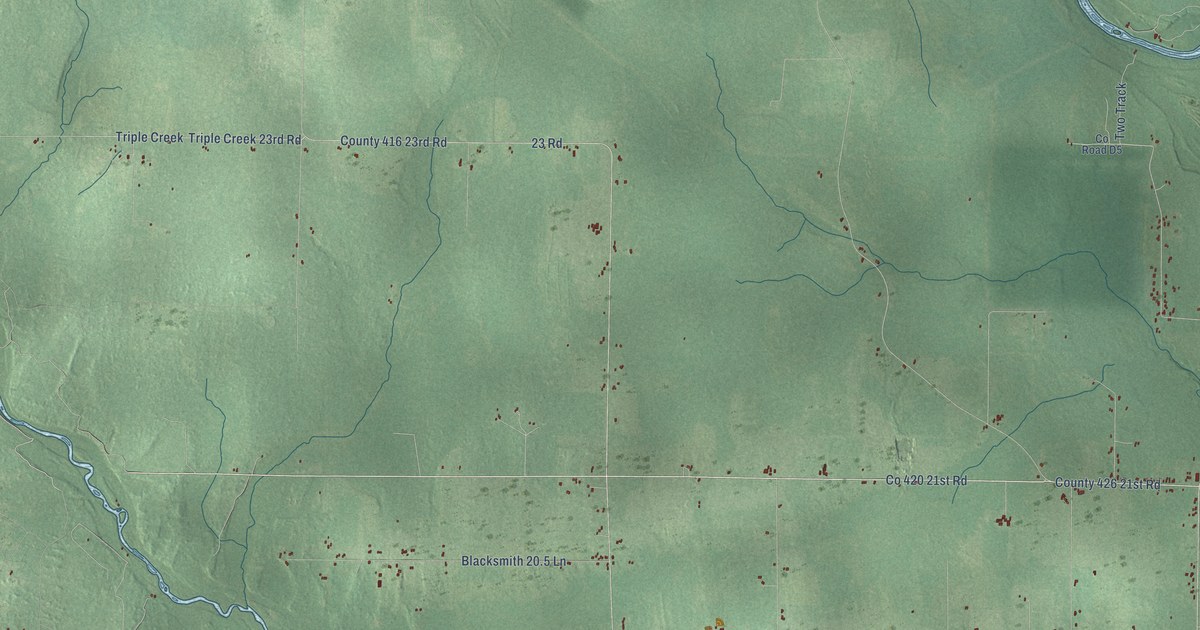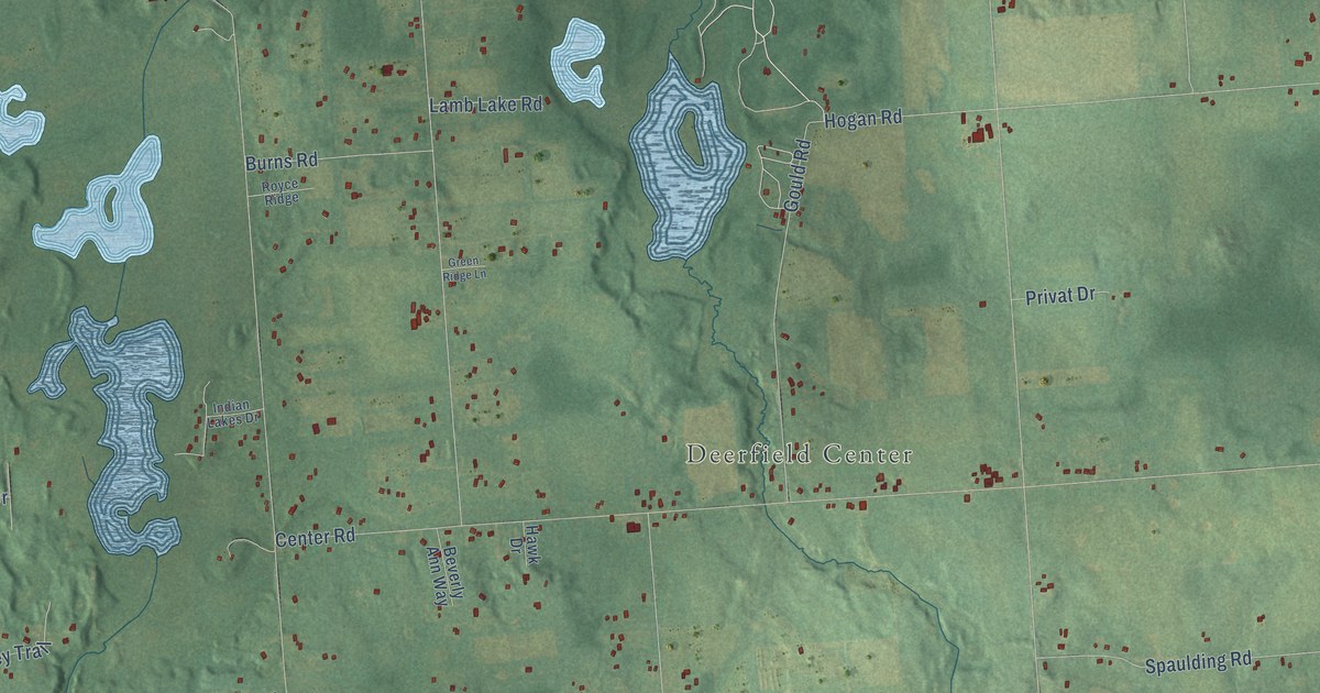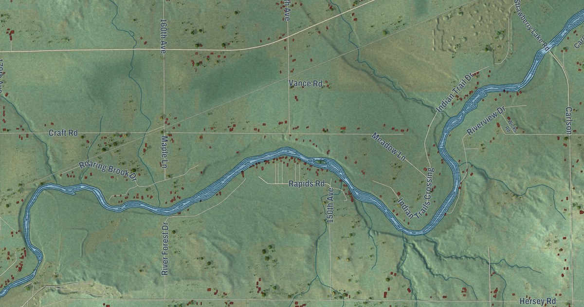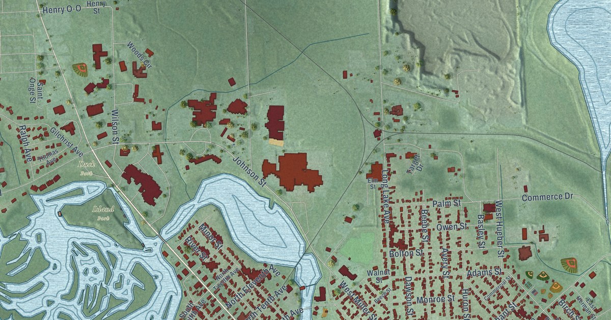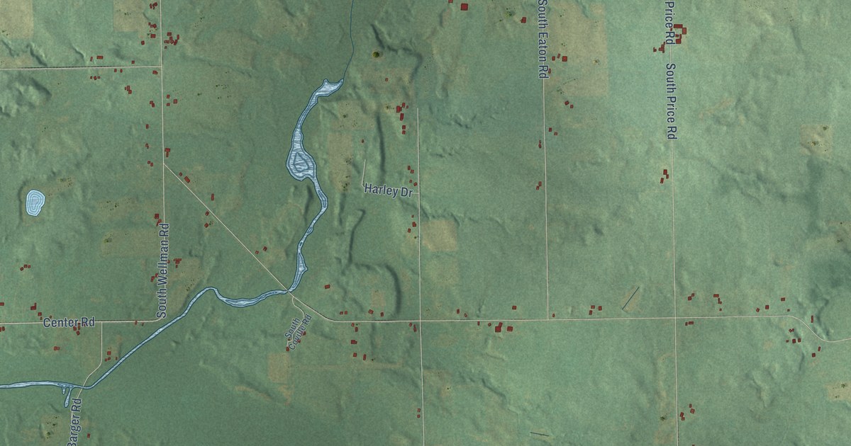
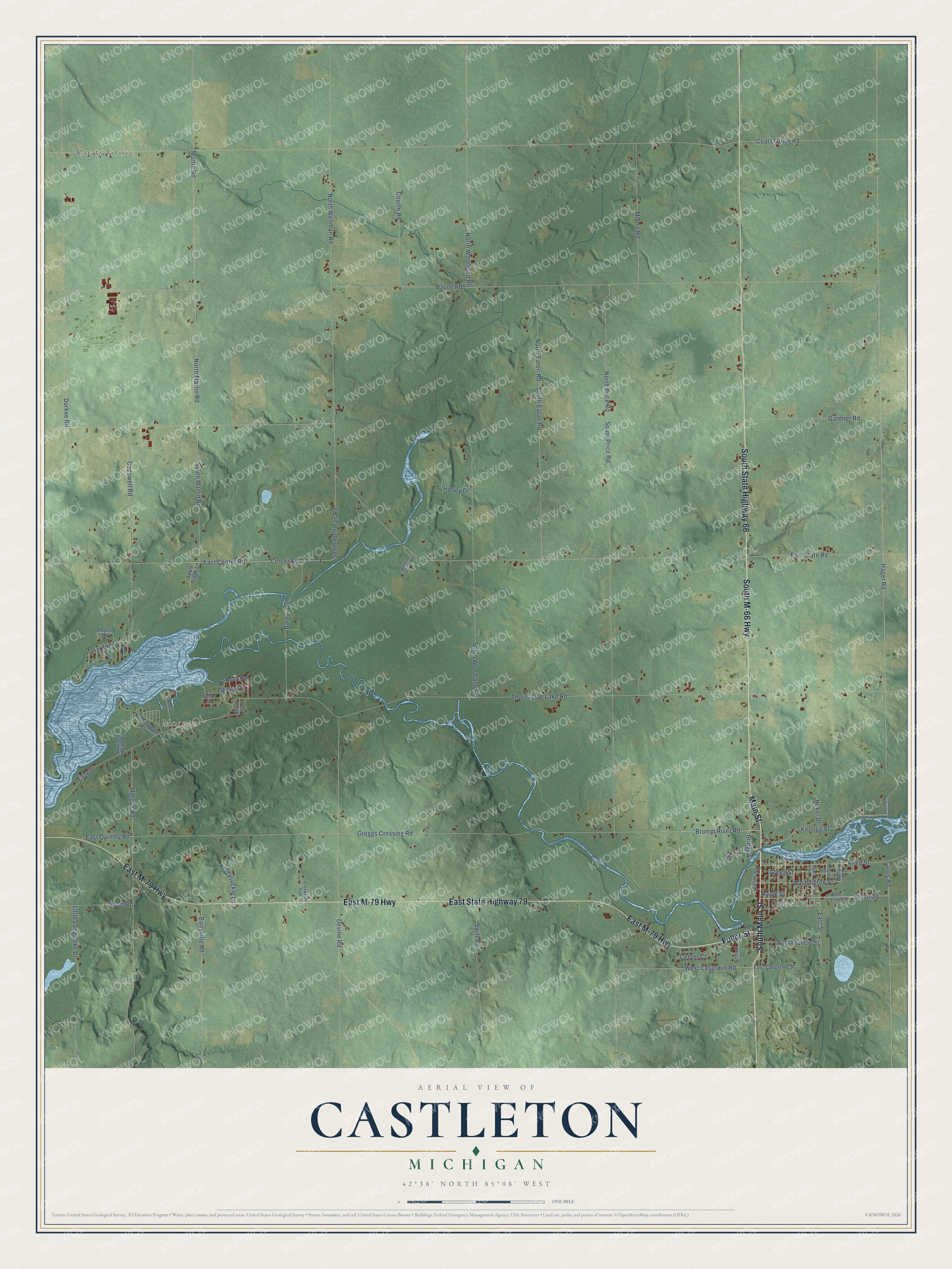
This beautifully detailed map of Castleton, Michigan was created in 2026 using aerial imagery combined with modern topographical, census, street and landmark data. It's a modern aerial view of Castleton in Barry County, Michigan, that combines modern data with a vintage aesthetic. The roads feature printed names, and if you look closely you can find your exact house accurately shown in its correct location.
Explore an aerial view of Castleton, Michigan
On this map you'll find Coats Grove, Nashville, Morgan, South Main Street, Main Street, South M-66 Highway, South State Highway 66, East State Highway 79, East M-79 Highway, Fuller Street, Sherman, Kellogg Street, and more. Each red shape is a building, so zoom in on the preview and look for yours.
Castleton has a story worth telling. The History of Allegan and Barry Counties puts it this way: "The honor of christening the new township fell to William P. Wilkinson, who, desiring to perpetuate the memory of his native village in the Green Mountain State, named it Castleton."
The Census Bureau counted 3,329 people here in 2020.
Take a closer look at the Castleton map
Names on this map
These names are printed on this map.
Places: Coats Grove, Nashville and Morgan.
Streets and roads: South Main Street, Main Street, South M-66 Highway, South State Highway 66, East State Highway 79, East M-79 Highway, Fuller Street, Sherman, Kellogg Street, West Casgrove Road, Hager Road, Brumm River Road.
More street names, A to Z
Apple Ridge Lane, Barger Road, Barryville Road, Bayne Road, Beech Street, Birch Street, Bridge Street, Center Court, Center Road, Charlton Drive, Coats Grove Road, Cogswell Road, Coville Road, Creekside Trail, Curtis Road, Devine Road, Durkee Road, East Casgrove Street, East Center Road, East Francis Street, East Quimby Road, East Sherman Street, East State Road, East Street, Easy Street, Edna Street, Gardner Road, Grant Street, Greggs Crossing Road, Gregg Street, Harley Drive, Heker Drive, Honeysuckle Lane, Howard Point Drive, Lentz Street, Little Long Lake Drive, Maple Street, Martin Road, Moore Road, Morgan Road, North Eaton Road, North Martin Road, North Price Road, North Wellman Road, North Woodland Road, Oakwood Drive, Perrine Street, Reed Street, Royce Road, School Street, Scott Road, South Coville Road, South Eaton Road, South Hager Road, South Martin Road, South Price Road, South Wellman Road, South Woodland Road, Superior Drive, Swift Road, Thornapple Drive, Thornapple Lake Road, Walnut Street, Washington Street, Water Street.
Created by KNOWOL in 2026. The buildings are small red shapes, the roads carry their printed names, and shaded relief shows the shape of the land. The title panel reads "AERIAL VIEW OF CASTLETON, MICHIGAN" with 42°38' NORTH 85°08' WEST.
It looks right in a kitchen, an office or a den, and it's a gift for anyone who grew up in Castleton or moved away. Open the preview and find your street. See sizes and frames for the Castleton map.