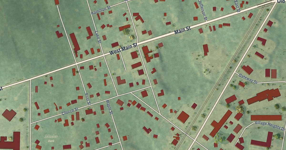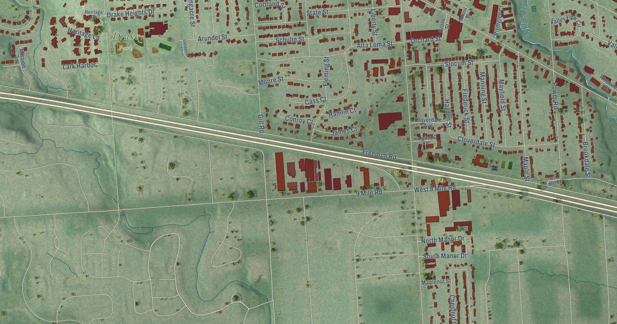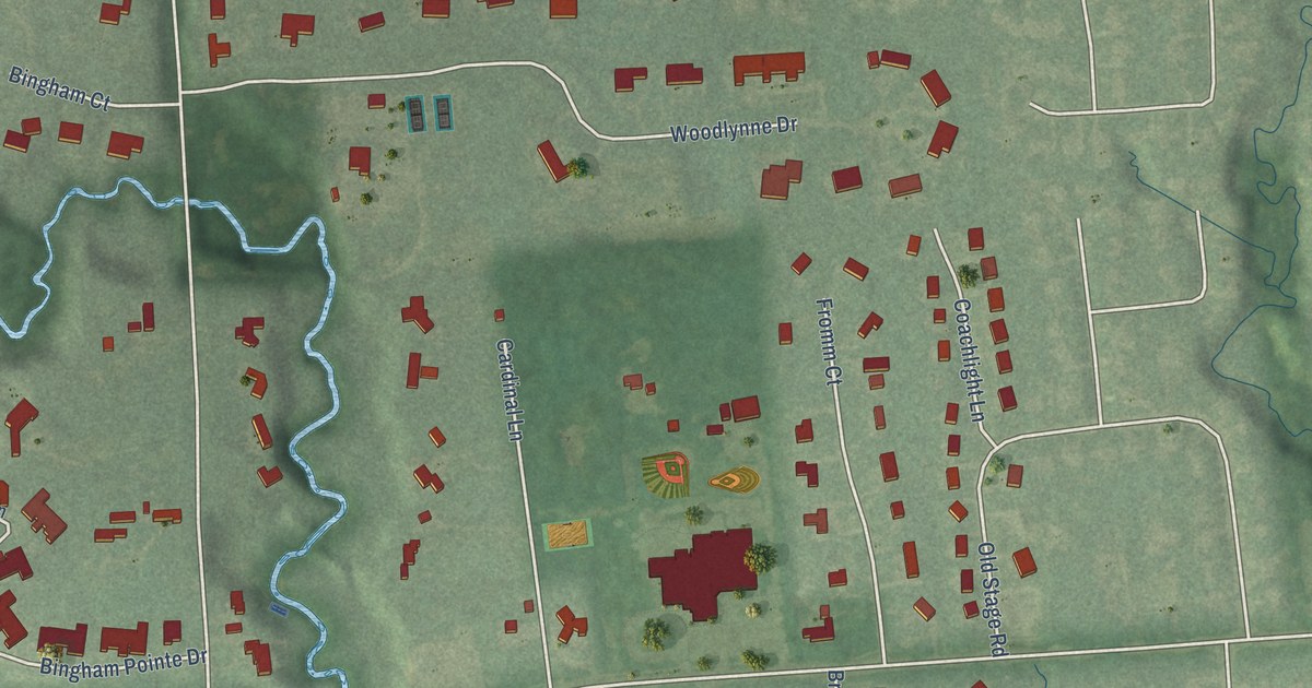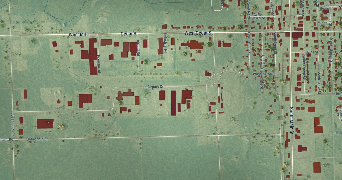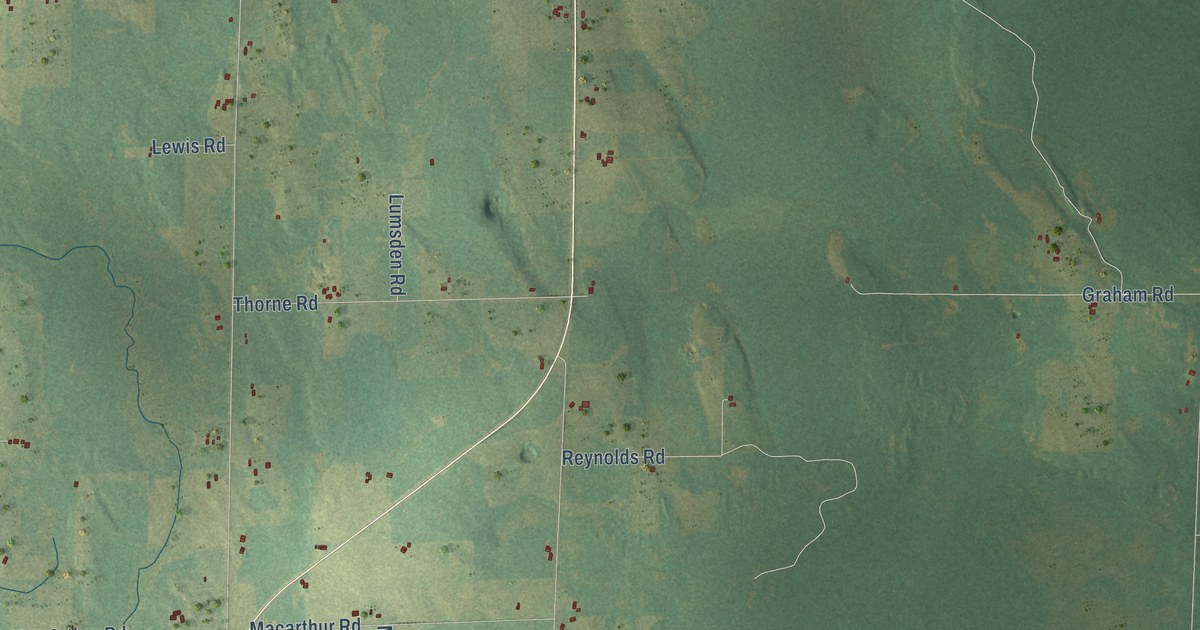
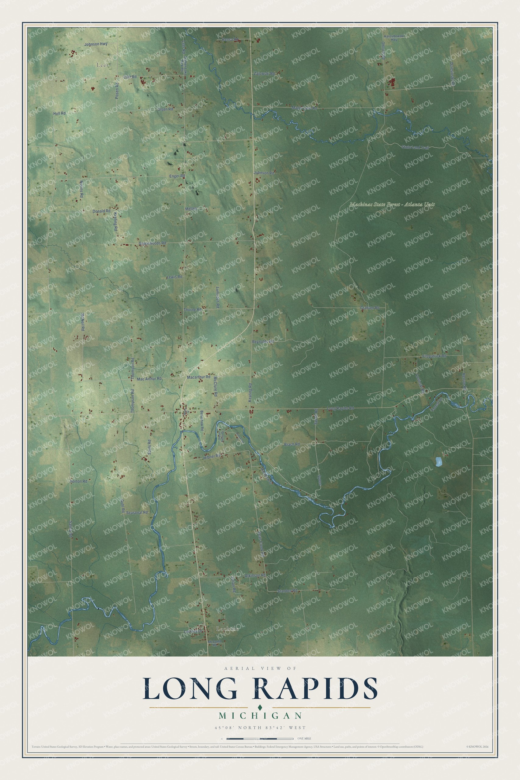
This beautifully detailed map of Long Rapids, Michigan was created in 2026 using aerial imagery combined with modern topographical, census, street and landmark data. It's a modern aerial view of Long Rapids in Alpena County, Michigan, that combines modern data with a vintage aesthetic. The roads feature printed names, and if you look closely you can find your exact house accurately shown in its correct location.
Explore an aerial view of Long Rapids, Michigan
On this map you'll find Leer, Lachine, Mackinac State Forest – Atlanta Unit, Leer Road, Johnson Highway, Spens Road, Posen Road, Johnson Road, State Land Trail, Mac Arthur Road, McNeil Road, Bean Creek Road, and more. Each red shape is a building, so zoom in on the preview and look for yours.
Here is a piece of Long Rapids history, in the words of the record. The Michigan History Center puts it this way: "Five Norwegian immigrant families established the village of Leer in 1879. They founded the Norwegian Lutheran Church Society in 1882."
The Census Bureau counted 977 people here in 2020.
Take a closer look at the Long Rapids map
Names on this map
These names are printed on this map.
Places: Leer, Lachine and Mackinac State Forest - Atlanta Unit.
Streets and roads: Leer Road, Johnson Highway, Spens Road, Posen Road, Johnson Road, State Land Trail, Mac Arthur Road, McNeil Road, Bean Creek Road, Standen Road, Keeling Road, Mellen.
More street names, A to Z
Atkinson Road, Beaushaw Road, Brach Road, Carr Road, Cedarwood Drive, Donald Road, Dziesinski Road, Enger Road, Fitzpatrick Road, Forest Lane, Gohl Road, Graham Road, Green Valley Drive, Greenwoods Road, Herron Road, Hibner Road, Horton Road, Hull Road, Julian Road, Kaszubowski Highway, Keating Road, Kensa Road, Lachine Drive, Lewis Road, Long Rapids Road, Losinski Road, Lumsden Road, Macarthur Road, Maple Lane Road, McClure Road, McComb Road, Mellen Street, Nevins Road, Ohlrich Road, Olsen Road, Reynolds Road, Riverview Drive, Salina Road, Sauls Road, Seasonal Road, Spens, Sunken Lake Park Road, Thompson Road, Thomson Road, Thorne Road, Zajowski Road.
Created by KNOWOL in 2026. The buildings are small red shapes, the roads carry their printed names, and shaded relief shows the shape of the land. The title panel reads "AERIAL VIEW OF LONG RAPIDS, MICHIGAN" with 45°08' NORTH 83°42' WEST.
It suits a den, a classroom or a front hall, and it makes a gift for anyone with Long Rapids roots. Open the preview and find the block you know. See sizes and frames for the Long Rapids map.