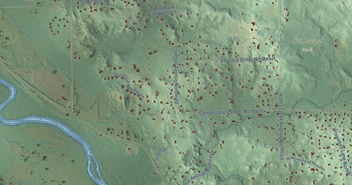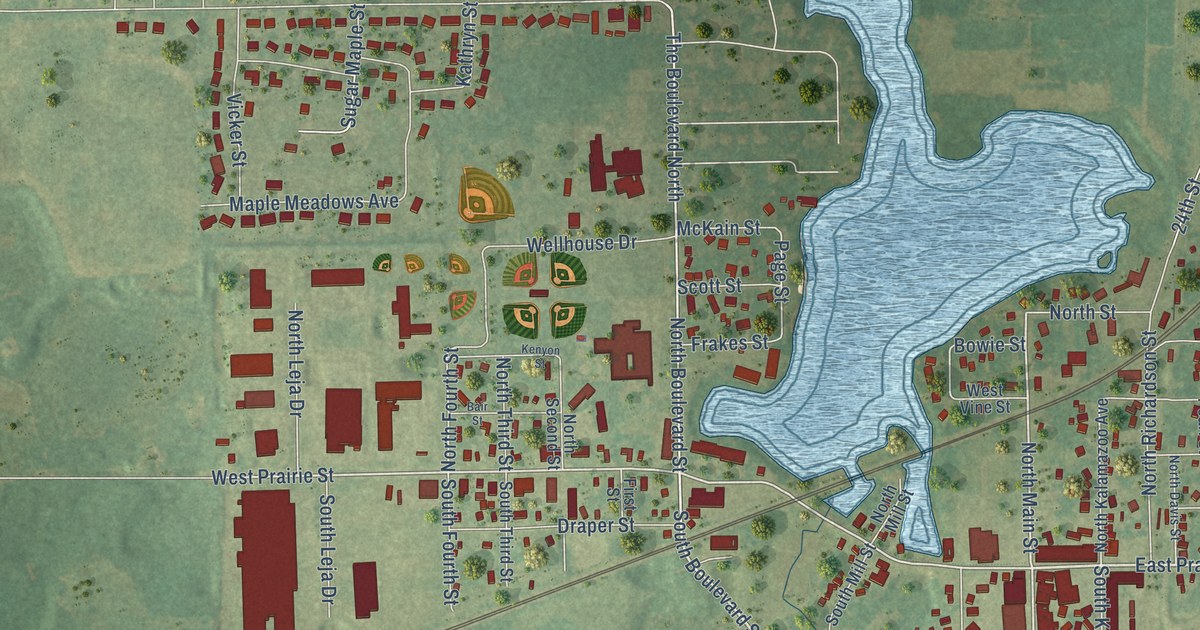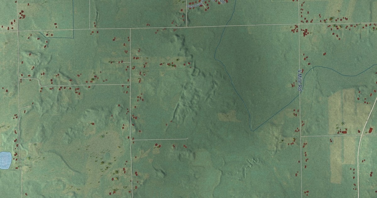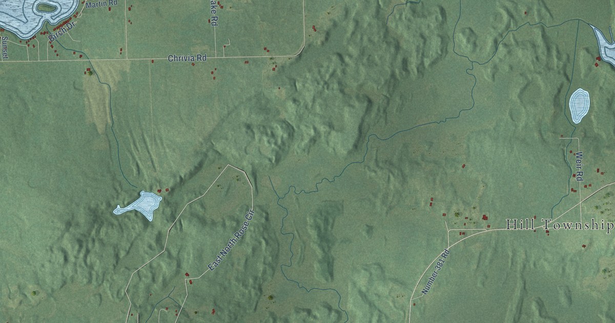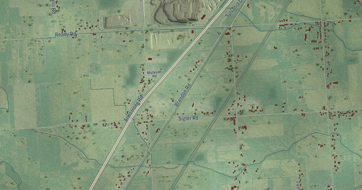
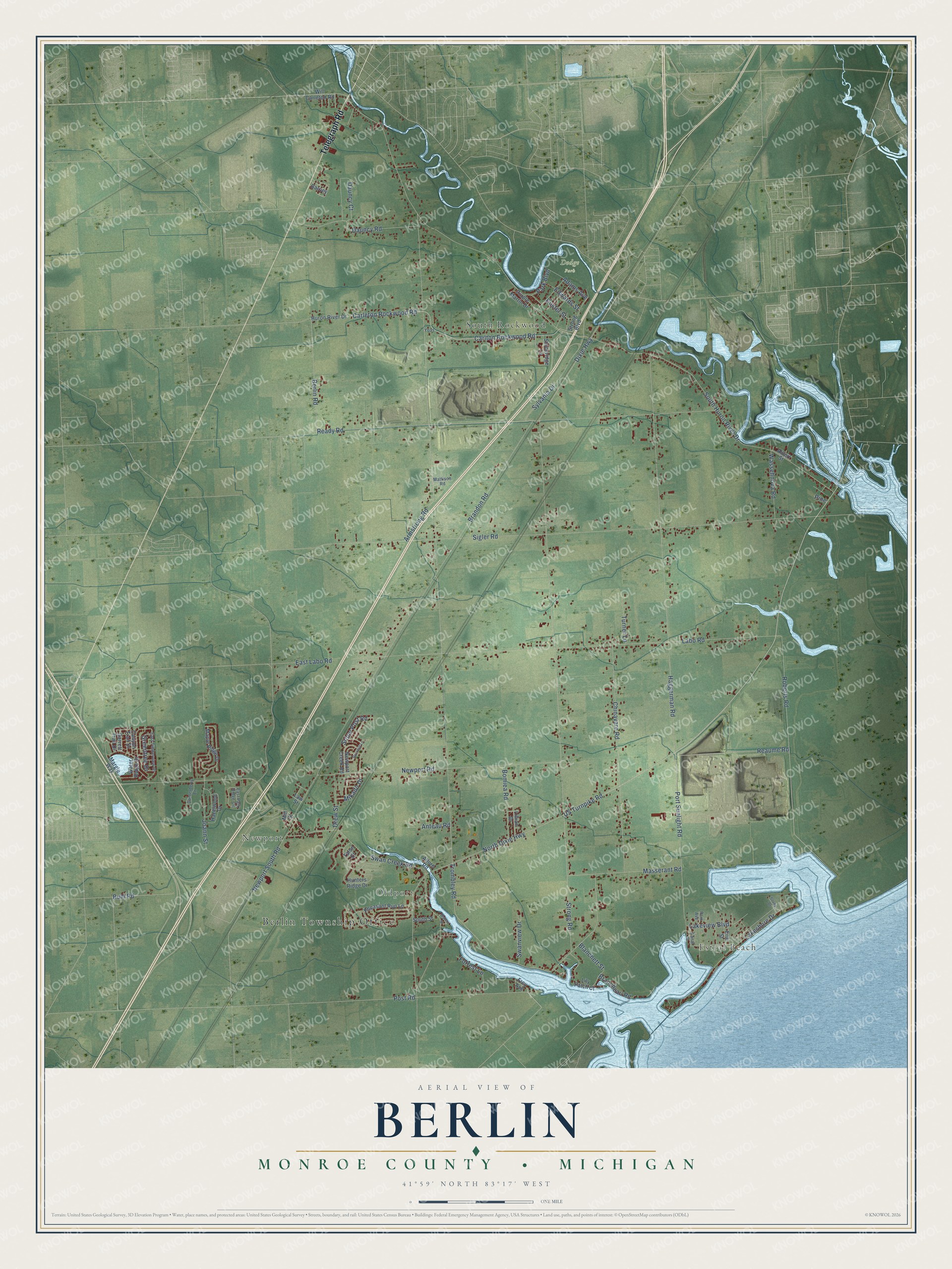
This beautifully detailed map of Berlin, Michigan was created in 2026 using aerial imagery combined with modern topographical, census, street and landmark data. It's a modern aerial view of Berlin in Monroe County, Michigan, that combines modern data with a vintage aesthetic. The roads feature printed names, and if you look closely you can find your exact house accurately shown in its correct location.
Explore an aerial view of Berlin, Michigan
On this map you'll find Berlin Township Office, Newport, Estral Beach, Oldport, Dodge Park, South Rockwood, Telegraph Road, North Dixie Highway, Dixie Highway, Swan Creek Road, US Turnpike Road, Armstrong Road, and more. Each red shape is a building, so zoom in on the preview and look for yours.
Berlin has a story worth telling. The Berlin Charter Township puts it this way: "Formerly part of Ash Township, Berlin Charter Township became an independent Township in 1867."
The Census Bureau counted 9,890 people here in 2020.
Take a closer look at the Berlin map
Names on this map
These names are printed on this map.
Places: Berlin Township Office, Newport, Estral Beach, Oldport, Dodge Park and South Rockwood.
Streets and roads: Telegraph Road, North Dixie Highway, Dixie Highway, Swan Creek Road, US Turnpike Road, Armstrong Road, South Huron River Drive, Sigler Road, Brandon Road, Labo Road, Ready Road, Haggerman Road.
More street names, A to Z
Adams Avenue, Albert Street, Allore Road, Anteau Road, Barney, Berlin Road, Blanchett Street, Bomiea Road, Brancheau Road, Buhl Road, Canal Street, Canterberry Lane, Canyon Trail Drive, Carleton Rockwood Road, Carlton Rockwood Road, Chinavare Road, Custer Street, Dauncy Court, Dauncy Road, Drew Street, East Labo Road, East Park Ridge Circle, East Timberview Drive, Edwards Street, Erie Street, Forrest Lane, Frey Avenue, Garrett Trail Drive, Greentree Drive, Hazelwood Drive, Hunters Ridge Drive, Huron River Drive, Joann Street, Lakeshore Drive, Lakeview Boulevard, Law Street, Lillian Drive, Lily Patch Court, Maple Ridge Drive, Margie Way, Masserant Road, Mattison Road, Mikado Drive, Mill Street, Newport Creek Road, Newport Road, Newport South Road, Park Avenue, Park Boulevard, Pheasant Run Lane, Pine, Port Sunlight Road, Post Road, Purple Martin Drive, Reaume Road, Roberts Road, Rockhill Lane, South Street, Sovey Drive, Stone Post Road, Stoneridge Lane, Strong Boulevard, Strong Road, Swanview Drive, Sylvania Drive, Talon Court, Trombley Road, Turner Lane, Wassehnova Road, Water Ridge Drive, Waters Street, Will Carleton Road, Yoas.
Created by KNOWOL in 2026. The buildings are small red shapes, the roads carry their printed names, and shaded relief shows the shape of the land. The title panel reads "AERIAL VIEW OF BERLIN, MONROE COUNTY • MICHIGAN" with 41°59' NORTH 83°17' WEST.
It looks right in a kitchen, an office or a den, and it's a gift for anyone who grew up in Berlin or moved away. Open the preview and find your street. See sizes and frames for the Berlin, Monroe County map.