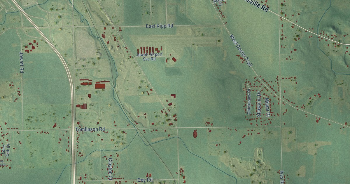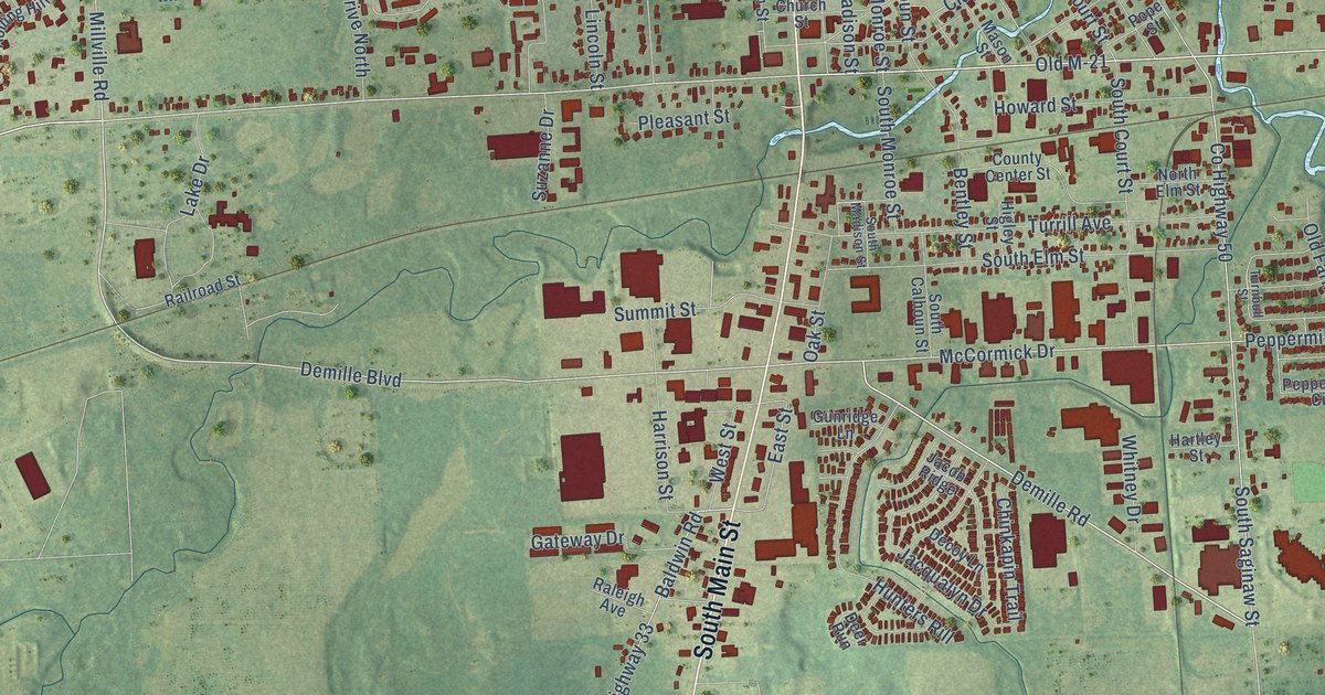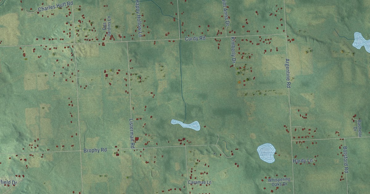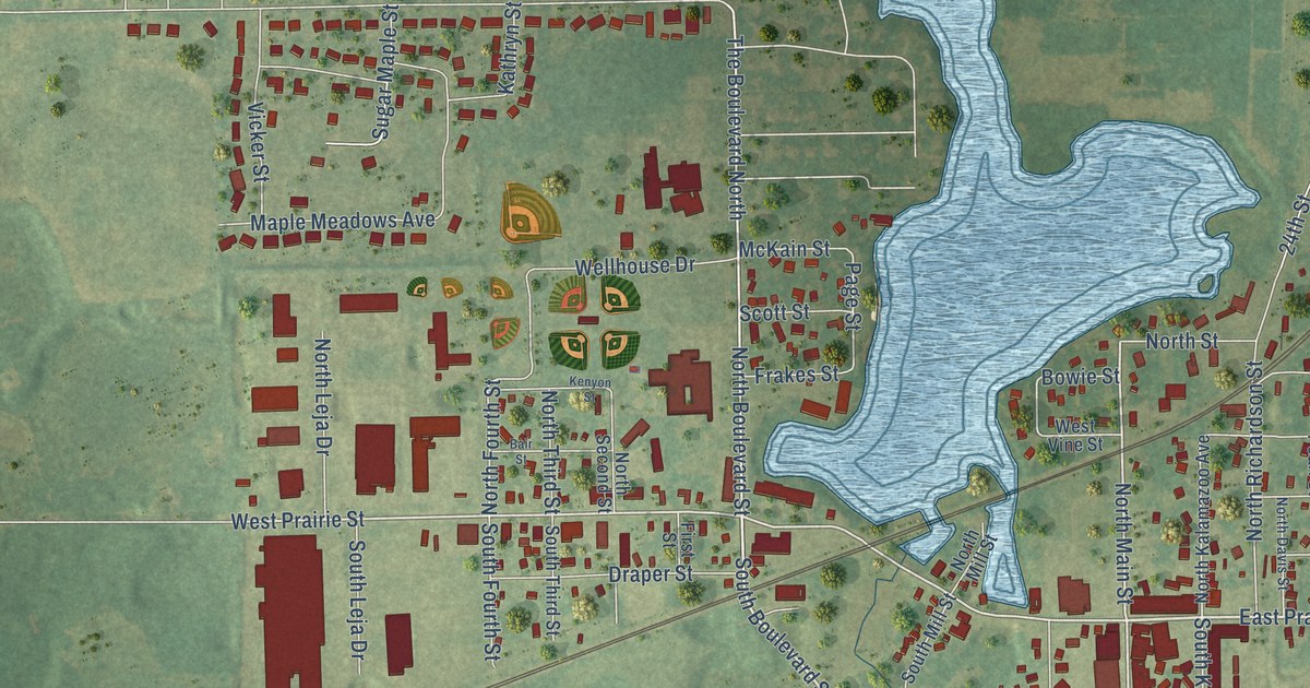
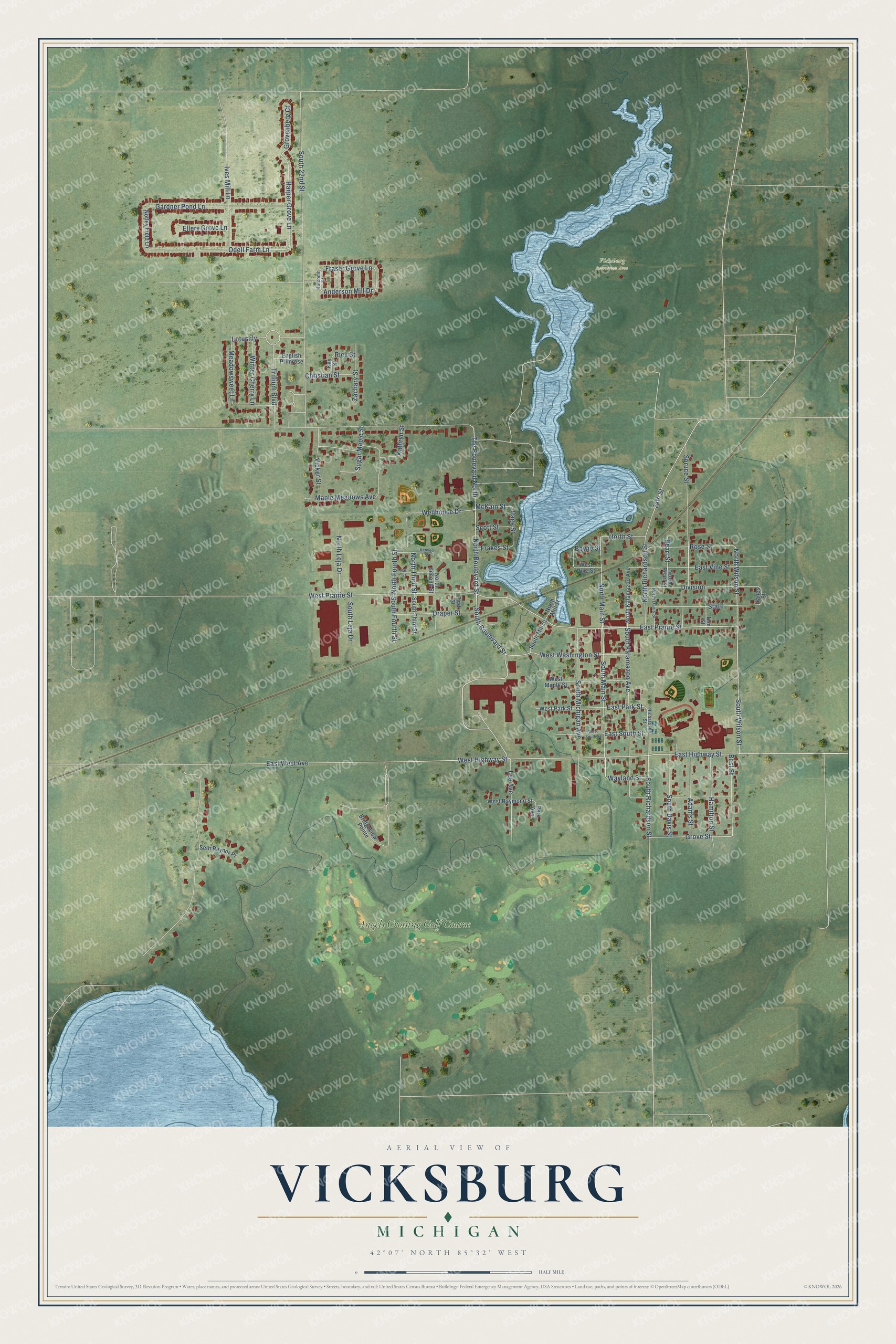
This beautifully detailed map of Vicksburg, Michigan was created in 2026 using aerial imagery combined with modern topographical, census, street and landmark data. It's a modern aerial view of Vicksburg in Kalamazoo County, Michigan, that combines modern data with a vintage aesthetic. The roads feature printed names, and if you look closely you can find your exact house accurately shown in its correct location.
Explore an aerial view of Vicksburg, Michigan
On this map you'll find Vicksburg Recreation Area, Angels Crossing Golf Course, East Prairie Street, South Wilson Street, South Boulevard Street, East Highway Street, South Richardson Street, West Prairie Street, West Highway Street, South Main Street, North Main Street, North Wilson Street, and more. Each red shape is a building, so zoom in on the preview and look for yours.
Every town has a first chapter, and Vicksburg is no exception. The History of Kalamazoo County puts it this way: "The name of the first settler upon the site now occupied by Vicksburg was John Vickers, in whose honor the place was named."
Vicksburg is a village in Kalamazoo County. The Census Bureau counted 3,706 people here in 2020.
Take a closer look at the Vicksburg map
Names on this map
These names are printed on this map.
Places: Vicksburg Recreation Area and Angels Crossing Golf Course.
Streets and roads: East Prairie Street, South Wilson Street, South Boulevard Street, East Highway Street, South Richardson Street, West Prairie Street, West Highway Street, South Main Street, North Main Street, North Wilson Street, North Boulevard Street, The Boulevard North.
More street names, A to Z
24th Street, Adams Street, Anderson Mill Drive, Bair Street, Best Street, Bowie Street, Bridgeview Pointe, Christian Street, Division, Draper Street, East Park Street, East South Street, East Vine Street, East West Avenue, Ellery Grove Lane, Elm Street, English Primrose, First Street, Frakes Street, Fraser Grove Lane, Gardner Pond Lane, Grovenberg Court, Grove Street, Hamilton Street, Hanes Street, Harper Grove Lane, Holcomb Street, Ives Mill Lane, Kathryn Street, Kay Street, Kenyon Street, Lee Avenue, Lotuslily, Maple Meadows Avenue, McKain Street, Meadowsweet Lane, North Davis Street, North Fourth Street, North Kalamazoo Avenue, North Leja Drive, North Mill Street, North Pearl Street, North Richardson Street, North Second Street, North Street, North Third Street, Notley Field Lane, Odell Farm Lane, Page Street, Park Avenue, Pearl Street, Richardson Street, Rick Street, Rose Street, Scott Street, Seth Raynor Place, South 22nd Street, South Davis Street, South Fourth Street, South Kalamazoo Avenue, South Leja Drive, South Michigan Avenue, South Mill Street, South Third Street, Spruce Street, State, Sugar Maple Street, Trillium Boulevard, Vicker Street, Wayland Street, Wellhouse Drive, West Maple Street, West Park Street, West Raymond Street, West South Street, West Vine Street, West Washington Street, Winter Cherry Lane, Zachary Street.
Created by KNOWOL in 2026. The buildings are small red shapes, the roads carry their printed names, and shaded relief shows the shape of the land. The title panel reads "AERIAL VIEW OF VICKSBURG, MICHIGAN" with 42°07' NORTH 85°32' WEST.
Hang it in the hallway, the office or the cabin, or give it to someone who left Vicksburg and still calls it home. Open the preview and look for a street you know. See sizes and frames for the Vicksburg map.