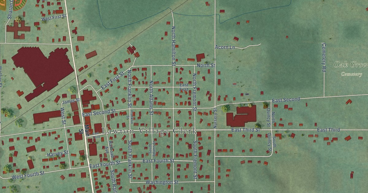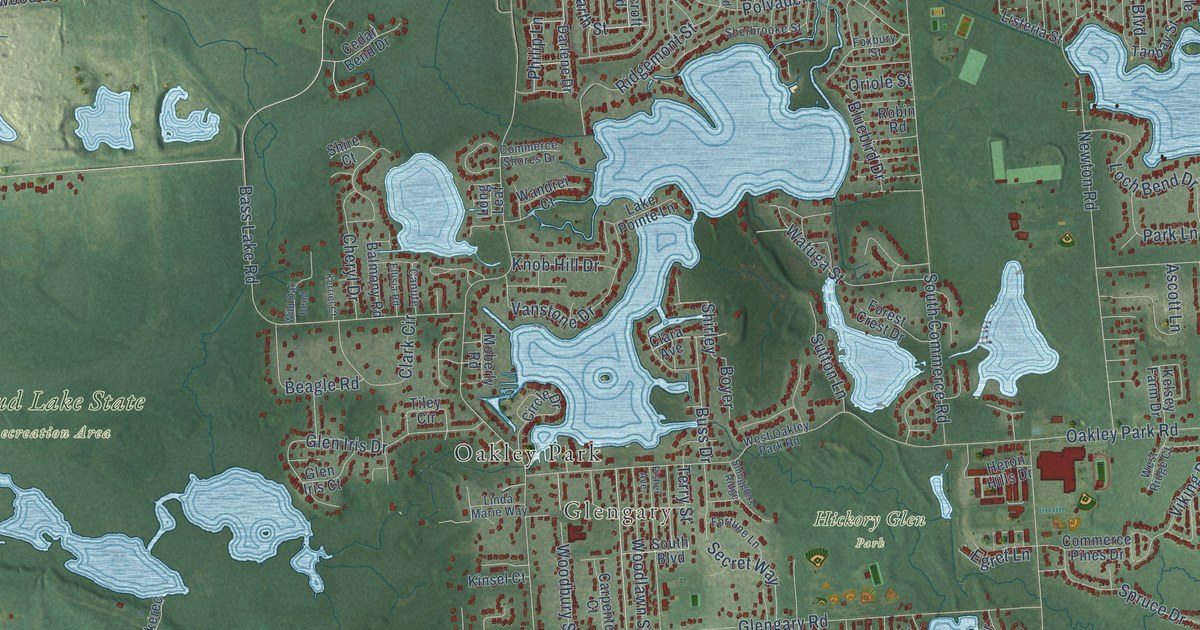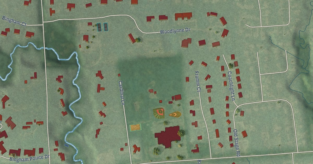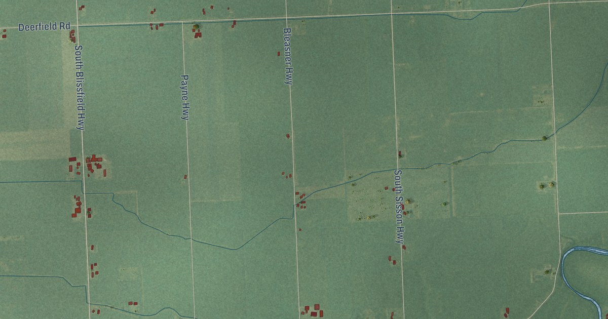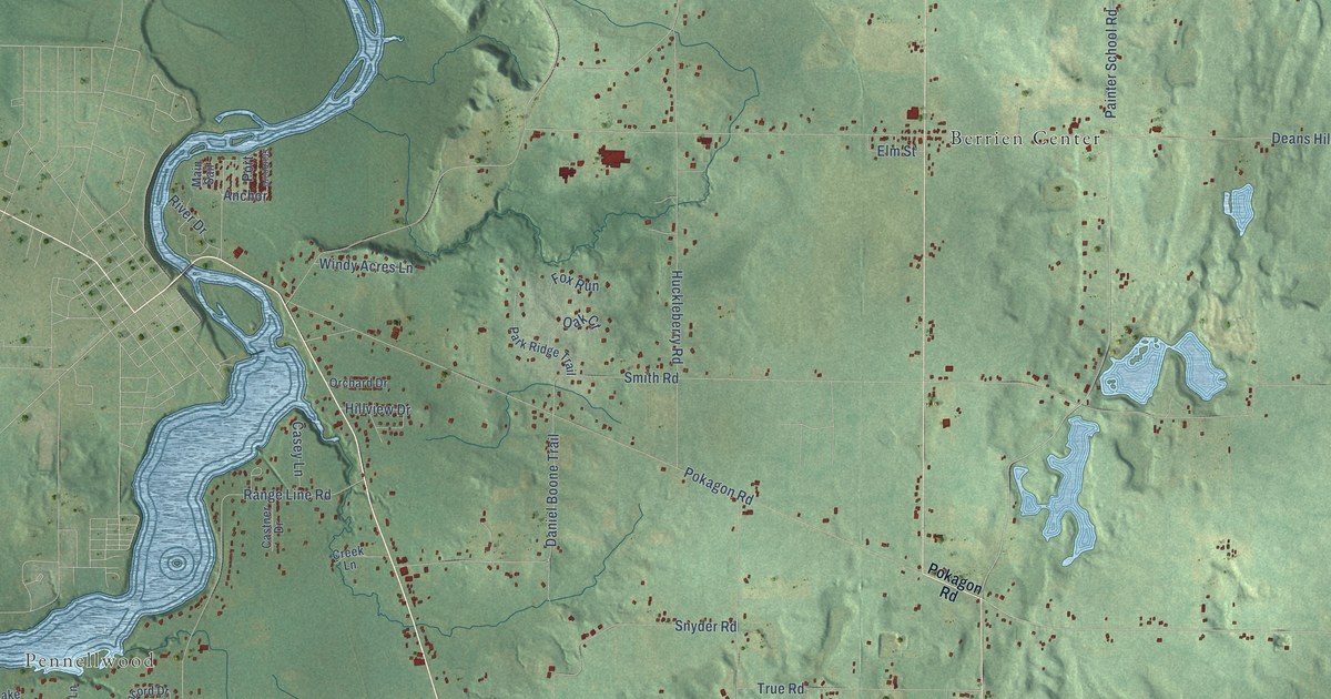
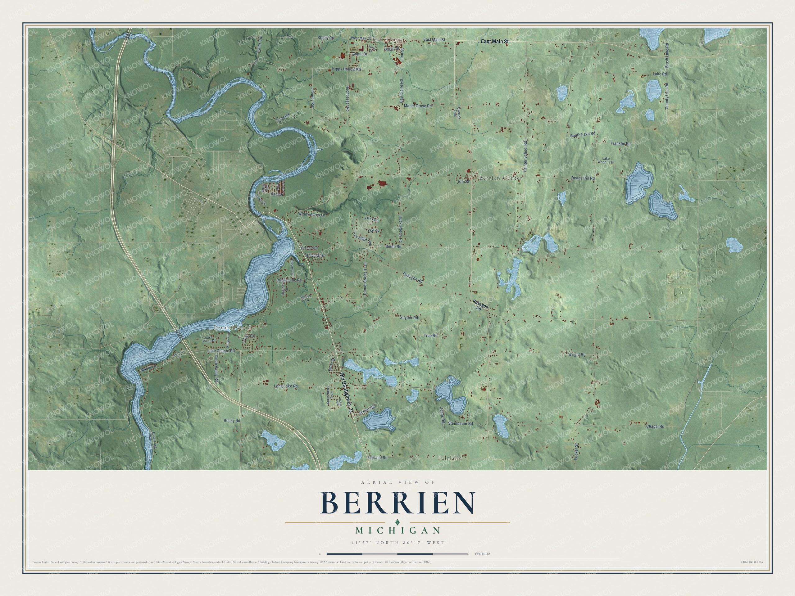
This beautifully detailed map of Berrien, Michigan was created in 2026 using aerial imagery combined with modern topographical, census, street and landmark data. It's a modern aerial view of Berrien in Berrien County, Michigan, that combines modern data with a vintage aesthetic. The roads feature printed names, and if you look closely you can find your exact house accurately shown in its correct location.
Explore an aerial view of Berrien, Michigan
On this map you'll find Pennellwood, Eau Claire, Fairland, Berrien Center, Old US Highway 31, East Main Street, Anchor, Painter School Road, Lake Chapin Road, Pokagon Road, Range Line Road, Hipps Hollow Road, and more. Each red shape is a building, so zoom in on the preview and look for yours.
Berrien has a story worth telling. The Twentieth Century History of Berrien County puts it this way: "The first Methodist Church in Berrien township was organized in 1843, called the Morris Chapel."
The Census Bureau counted 4,868 people here in 2020.
Take a closer look at the Berrien map
Names on this map
These names are printed on this map.
Places: Pennellwood, Eau Claire, Fairland and Berrien Center.
Streets and roads: Old US Highway 31, East Main Street, Anchor, Painter School Road, Lake Chapin Road, Pokagon Road, Range Line Road, Hipps Hollow Road, Franklin Road, Laberdy Road, County Line Road, Pucker Street.
More street names, A to Z
Aubill Drive, Berry Street, Brush Lake Road, Casey Lane, Castner Drive, Chapel Road, Concord Drive, Creek Lane, Daniel Boone Trail, Deans Hill Road, Eau Claire Road, Elm Street, Evans Road, Fairland Road, Fox Run, Hillview Drive, Hochberger Road, Huckleberry Road, Jones Road, Kantorberry Trail, Keigley Street, Kings Lane, Lake Chapin Bluff, Lake Pines Drive, Lake Road, Lake Wood Trail, Linn Street, Long Lake Road, Love Road, Main Sail, Maple Grove Road, Maple Lane, Oak Court, Orchard Drive, Overton Trail, Park Ridge Trail, Pollys Path, Port, Porter Drive, River Drive, Rocky Road, Scherr Road, Smith Road, Smith Valley Road, Snyder Road, South Lake Chapin Road, South Lake Road, Staley Road, Starboard, Steinbauer Road, True Road, West Main Street, Windy Acres Lane, Wright Road.
Created by KNOWOL in 2026. The buildings are small red shapes, the roads carry their printed names, and shaded relief shows the shape of the land. The title panel reads "AERIAL VIEW OF BERRIEN, MICHIGAN" with 41°57' NORTH 86°17' WEST.
It looks right in a kitchen, an office or a den, and it's a gift for anyone who grew up in Berrien or moved away. Open the preview and find your street. See sizes and frames for the Berrien map.