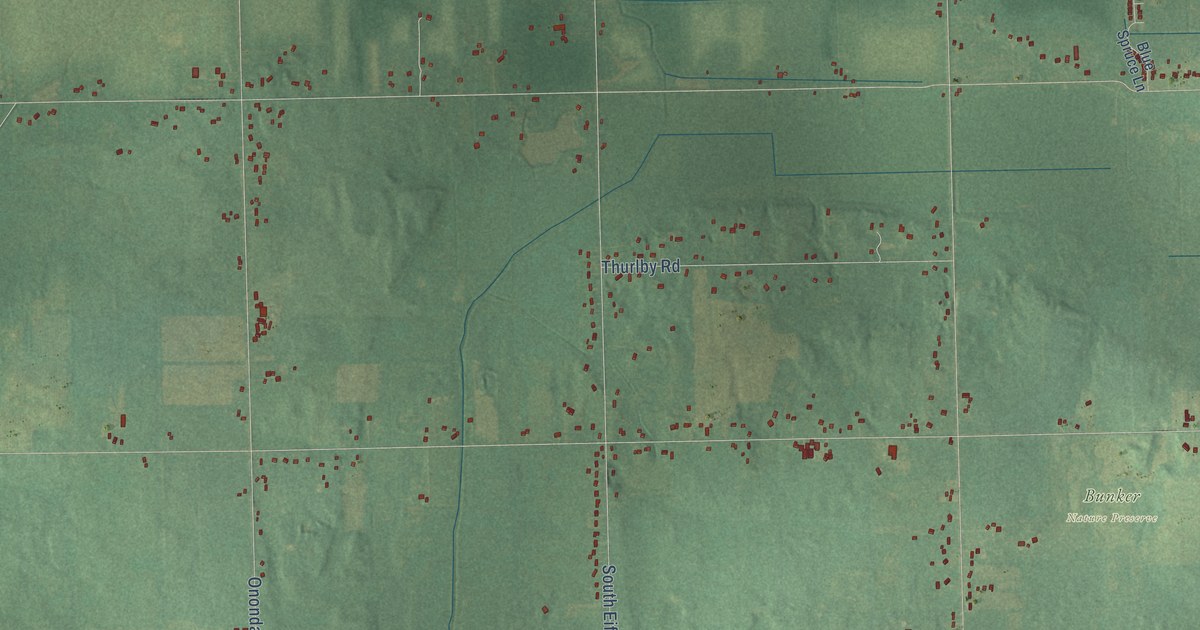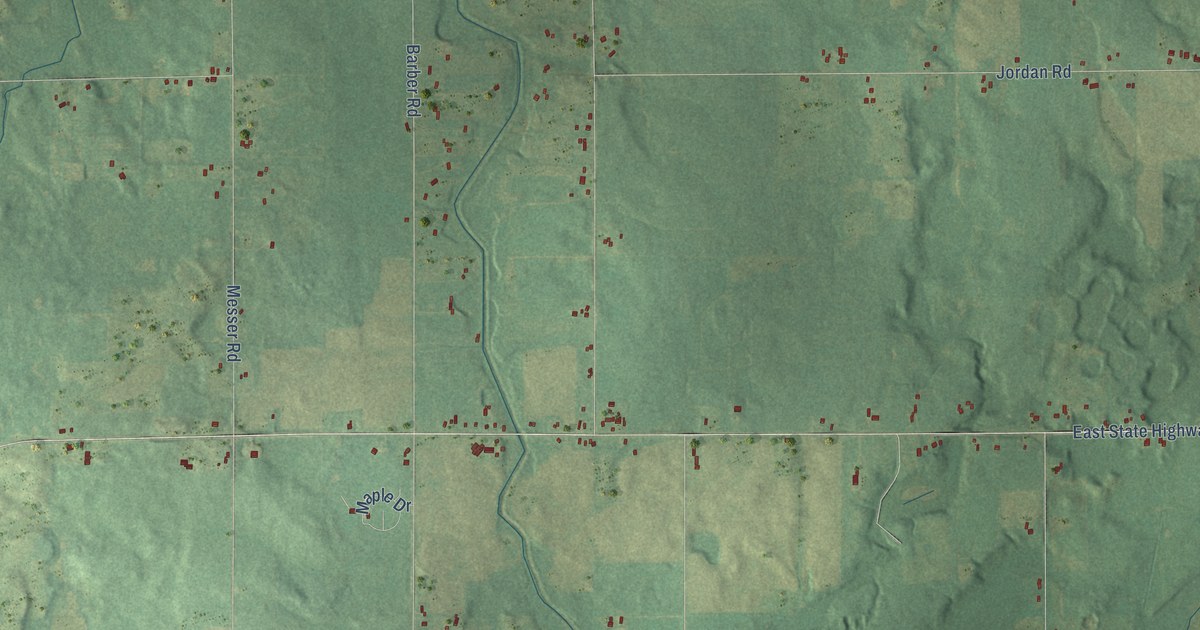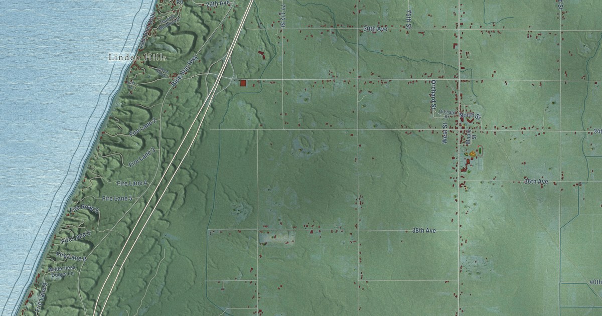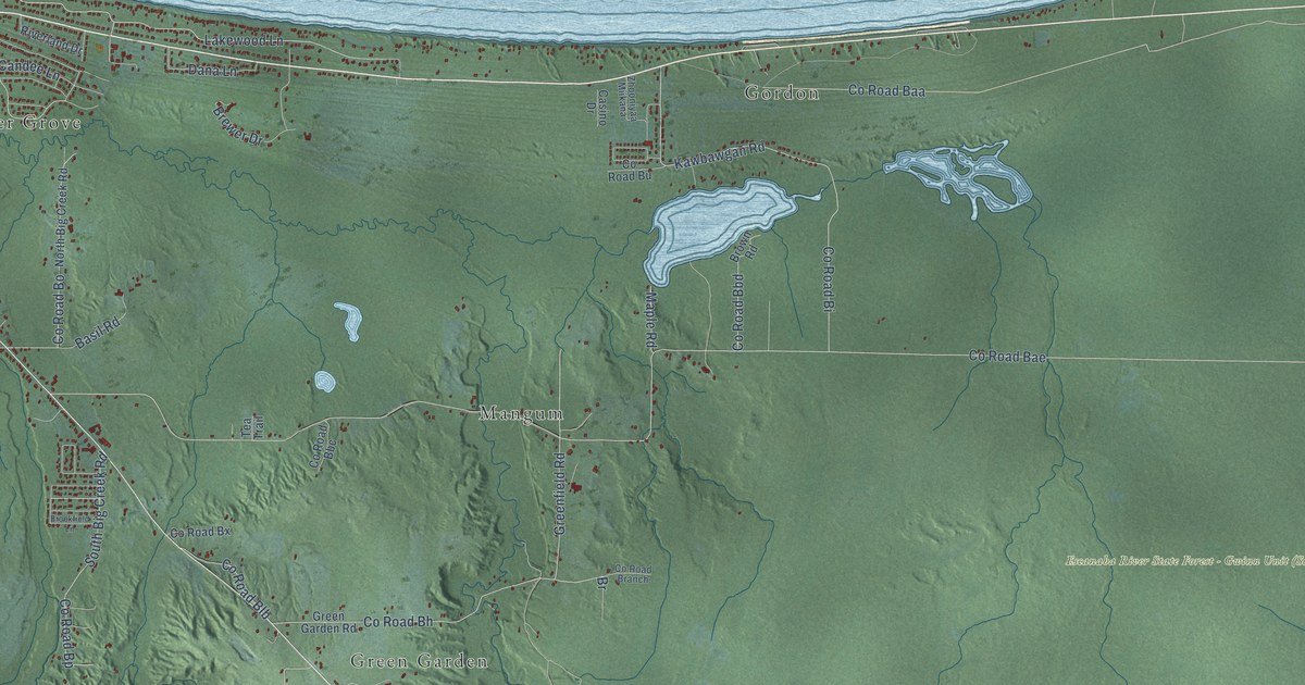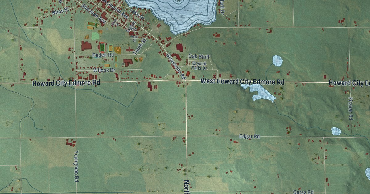
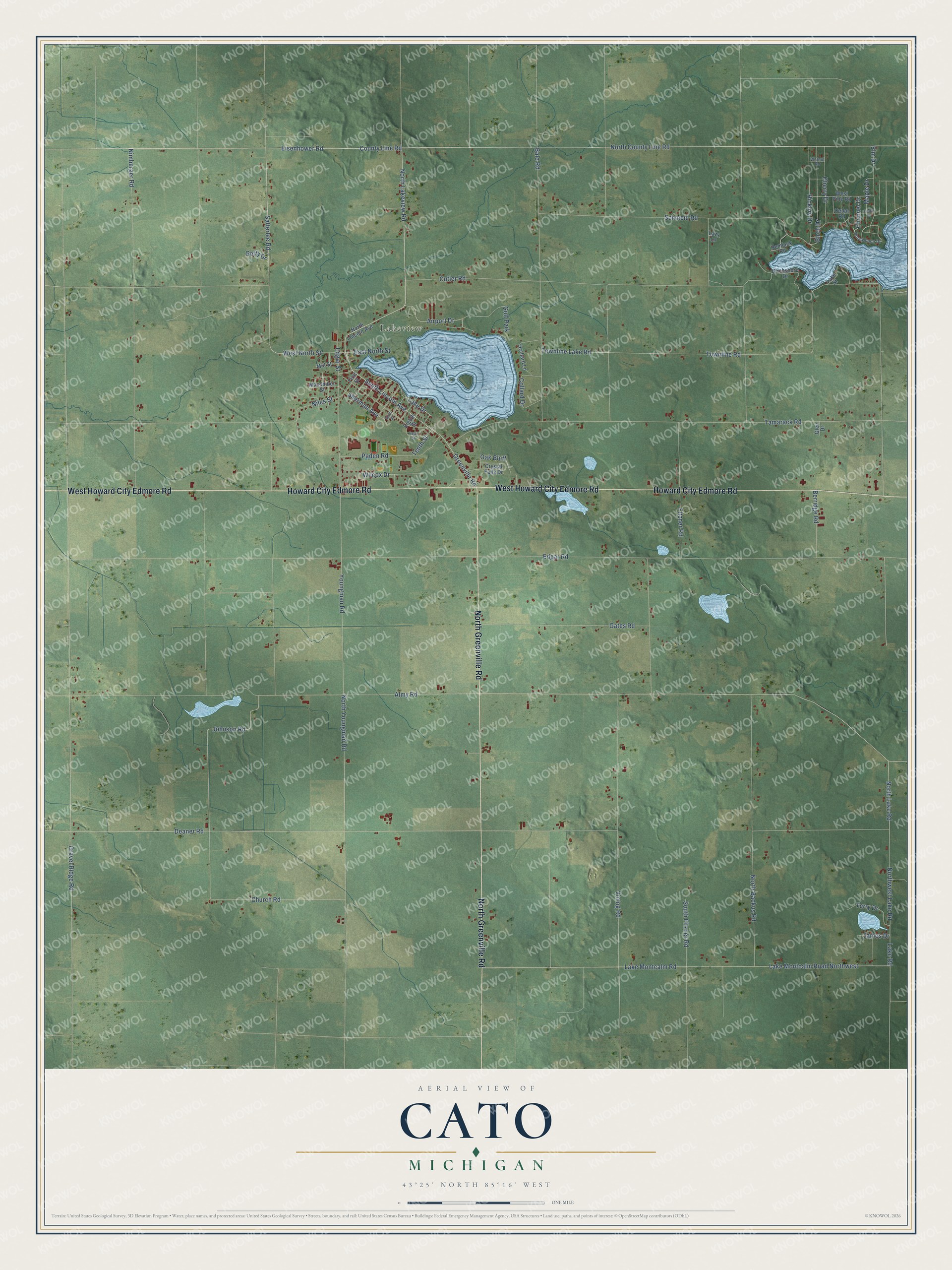
This beautifully detailed map of Cato, Michigan was created in 2026 using aerial imagery combined with modern topographical, census, street and landmark data. It's a modern aerial view of Cato in Montcalm County, Michigan, that combines modern data with a vintage aesthetic. The roads feature printed names, and if you look closely you can find your exact house accurately shown in its correct location.
Explore an aerial view of Cato, Michigan
On this map you'll find Lakeview, West Howard City Edmore Road, Howard City Edmore Road, North Greenville Road, North Lakeview Road, County Line Road, Airport Drive, Satterlee Road, North County Line Road, Eisenhower Road, Lake Drive, West North Street, and more. Each red shape is a building, so zoom in on the preview and look for yours.
Every town has a first chapter, and Cato is no exception. The History of Montcalm County puts it this way: "Cato township, as previously mentioned and originally laid out, consists of four congressional townships. At the same meeting of the board of supervisors which laid out and organized the township of Cato, also organized three other townships."
The Census Bureau counted 2,898 people here in 2020.
Take a closer look at the Cato map
Names on this map
These names are printed on this map.
Places: Lakeview and Golf Park.
Streets and roads: West Howard City Edmore Road, Howard City Edmore Road, North Greenville Road, North Lakeview Road, County Line Road, Airport Drive, Satterlee Road, North County Line Road, Eisenhower Road, Lake Drive, West North Street, South Lincoln Avenue.
More street names, A to Z
Almy Road, Bale Road, Berridge Road, Birch Drive, Birchshore Drive, Cedar Drive, Cedar Road, Channel Drive, Cherry Drive, Church Road, Collard Drive, Crystal Falls Drive, Cutler Road, Deaner Road, East North Street, Edgar Road, Edgar Street, Eighth Street, Elm Drive, First Street, Fitzner Road, Gates Road, Getty Drive, Glen Drive, Gravel Ridge Road, Greenville Road, Hemlock Road, Hickory Drive, Honeymoon Drive, James Drive, Johnson Road, Lake Montcalm Road, Lake Montcalm Road Northwest, Lake Road, Lake Street, Lazy Lane, Macomber Street, Maple Drive, Mill Street, Niles Street, Nimberger Road, North Backus Road, North Lake Road, North Lincoln Avenue, Northwest Lake Road, North Youngman Road, Oak Bluff, Orchard Lane, Paden Road, Pearl Street, Schmeid Road, Sherman Avenue, Sixth Street, South Fitzner Road, Tamarack Road, Tenth Street, Terry Drive, Townline Lake Road, Townline Road, Vining Road, Walnut Road, West Pine Road, Wilcox Drive, Youngman Road.
Created by KNOWOL in 2026. The buildings are small red shapes, the roads carry their printed names, and shaded relief shows the shape of the land. The title panel reads "AERIAL VIEW OF CATO, MICHIGAN" with 43°25' NORTH 85°16' WEST.
Hang it in the hallway, the office or the cabin, or give it to someone who left Cato and still calls it home. Open the preview and look for a street you know. See sizes and frames for the Cato map.