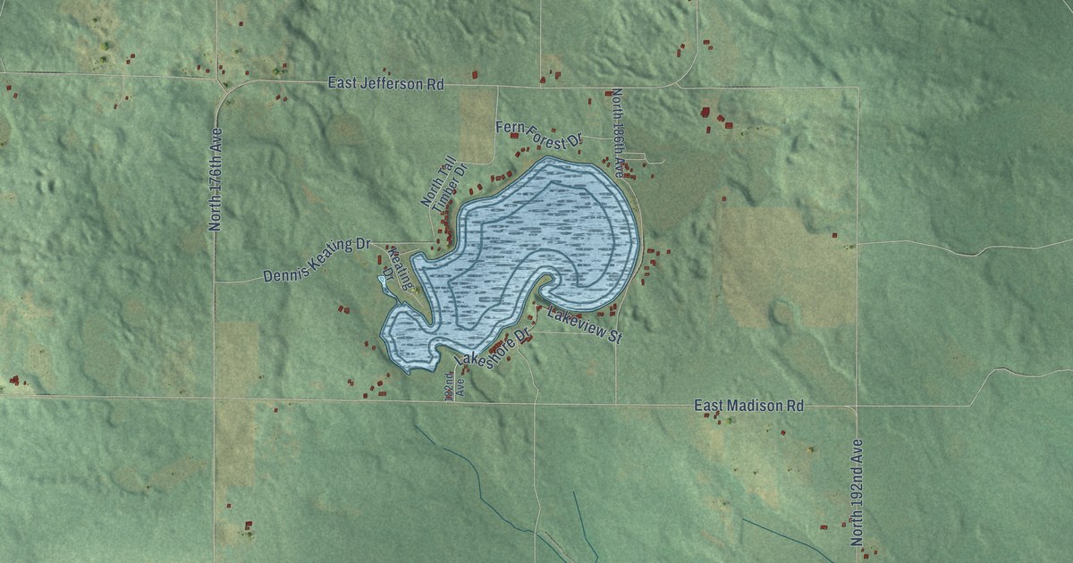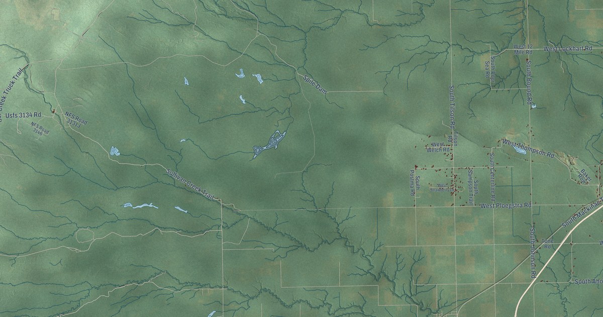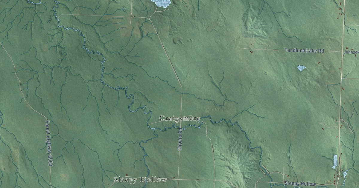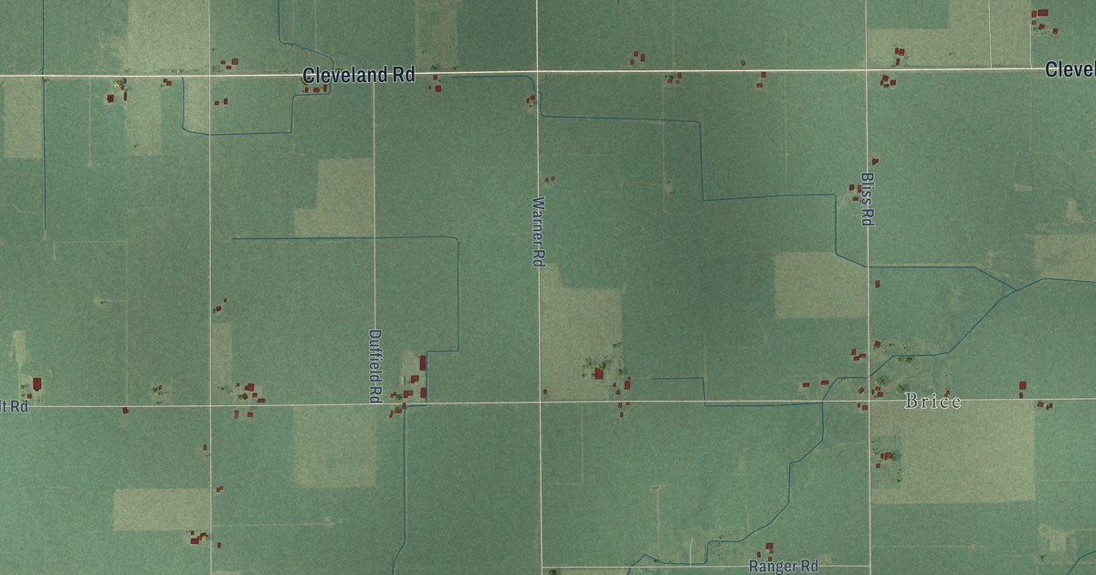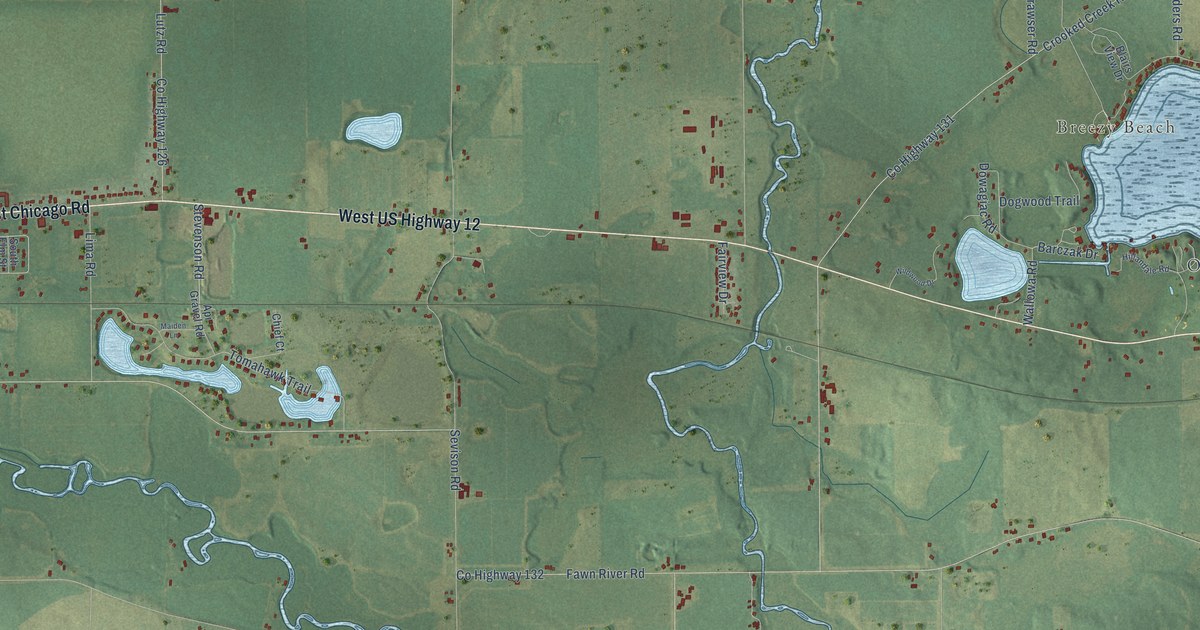
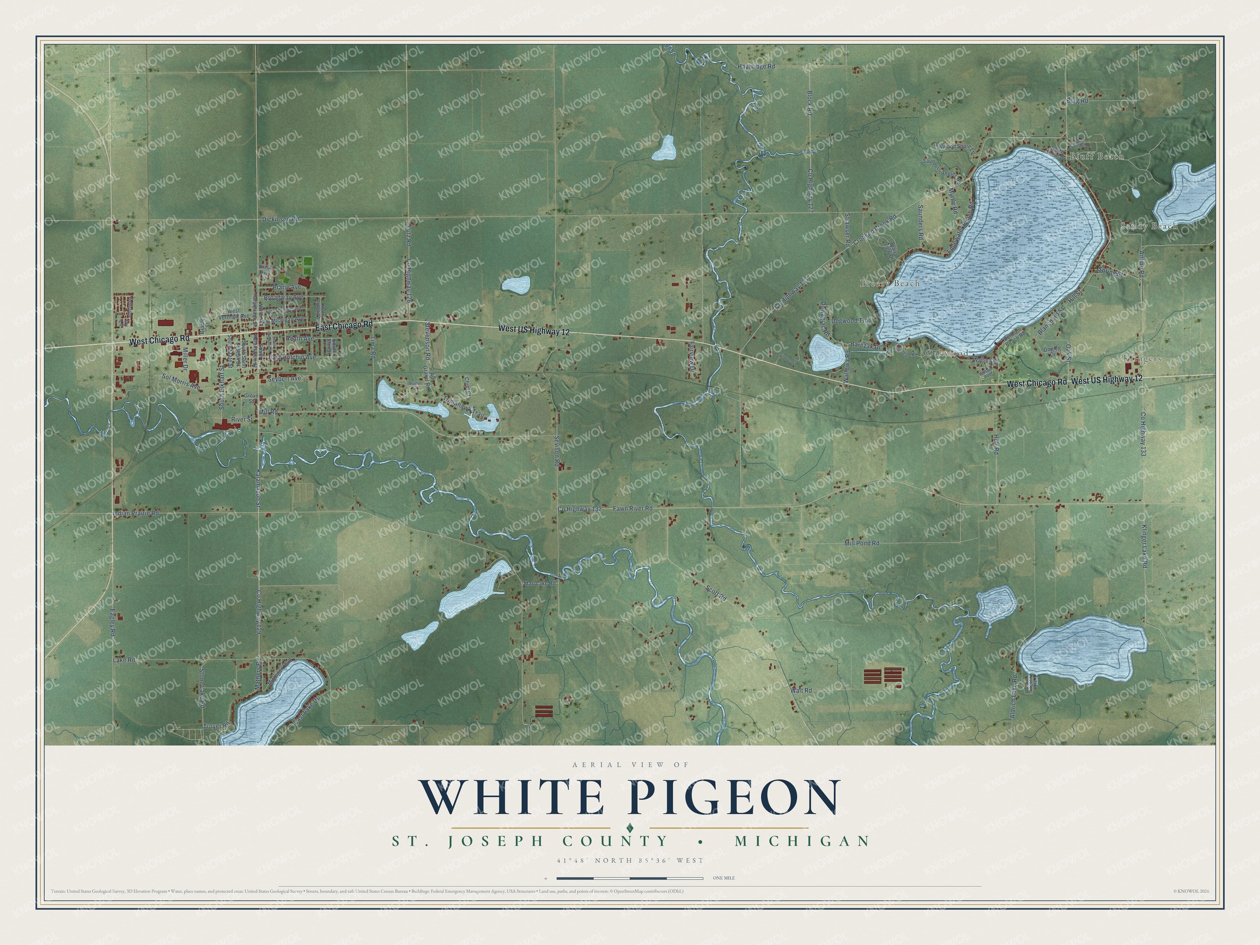
This beautifully detailed map of White Pigeon, Michigan was created in 2026 using aerial imagery combined with modern topographical, census, street and landmark data. It's a modern aerial view of White Pigeon in St. Joseph County, Michigan, that combines modern data with a vintage aesthetic. The roads feature printed names, and if you look closely you can find your exact house accurately shown in its correct location.
Explore an aerial view of White Pigeon, Michigan
On this map you'll find Klingers, Sandy Beach, Bluff Beach, Oakwood, Breezy Beach, West Chicago Road, West US Highway 12, East Chicago Road, Kalamazoo Street, Co Highway 129, Stone Lake Road, East Hotchin Avenue, and more. Each red shape is a building, so zoom in on the preview and look for yours.
White Pigeon has a story worth telling. The record at arcgis.com puts it this way: "In 1831, after the land was surveyed, the government opened this office in White Pigeon, one of the largest towns in the western Michigan Territory."
The Census Bureau counted 3,762 people here in 2020.
Take a closer look at the White Pigeon map
Names on this map
These names are printed on this map.
Places: Klingers, Sandy Beach, Bluff Beach, Oakwood and Breezy Beach.
Streets and roads: West Chicago Road, West US Highway 12, East Chicago Road, Kalamazoo Street, County Highway 129, Stone Lake Road, East Hotchin Avenue, Heath Avenue, Troyer Road, Lake Road, Oak Street, Prarie Avenue.
More street names, A to Z
Airline Road, Aldrich Lake Road, Api Gravel Road, Barczak Drive, Benham Beach Road, Blairs View Drive, Blanchard Street, Block Road, Bradley Street, Broadway Avenue, Burg Road, Chief Court, County Highway 126, County Highway 127, County Highway 131, County Highway 132, County Highway 133, Crooked Creek Road, Dickinson Road, Dogleg Drive, Dogwood Shore Lane, Dogwood Trail, Dowagiac Road, Eagley Road, East Lake Drive, East Michigan Avenue, East Vermont Avenue, Edgewater Beach Road, Fairview Drive, Fawn River Road, Fieldstone, Grove Street, Haybridge Road, Hillandale Road, Hill Street, Huff Road, Indian Prairie Road, Ivy Lane, Klinger Lake Road, Lagoon Avenue, Lima Road, Lutz Road, Maiden Lane, Marl Lake Road, Mathers Road, Michigan Boulevard, Miller Drive, Mill Pond Road, Mill Road, Myrtle Road, North Athletic Street, North Everson Drive, North Kalamazoo Street, North Shore Drive, River Street, Saunders Road, Saunders Shores Road, Scott Road, Sevison Road, Seybert Avenue, Shirley Avenue, Sol Morris Avenue, South Company Street, South Elkhart Street, South Elm Street, South Kalamazoo Street, South Saint Joseph Street, South State Street, Spring Street, Stevenson Road, Strawser Road, Tomahawk Trail, Wallowa Road, Walt Road, Watson Road, West Vermont Avenue, Wildwood Drive, Wilson Avenue.
See it on a wall
The White Pigeon, St. Joseph County map as a framed print. Swipe for more.


Created by KNOWOL in 2026. The buildings are small red shapes, the roads carry their printed names, and shaded relief shows the shape of the land. The title panel reads "AERIAL VIEW OF WHITE PIGEON, ST. JOSEPH COUNTY • MICHIGAN" with 41°48' NORTH 85°36' WEST.
It looks right in a kitchen, an office or a den, and it's a gift for anyone who grew up in White Pigeon or moved away. Open the preview and find your street. See sizes and frames for the White Pigeon, St. Joseph County map.