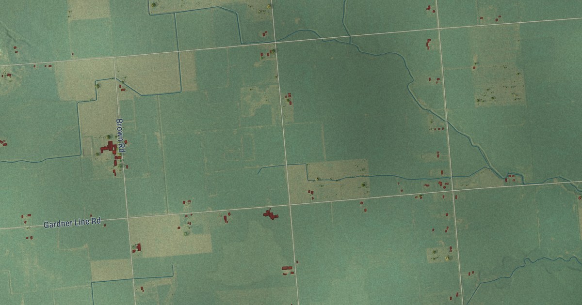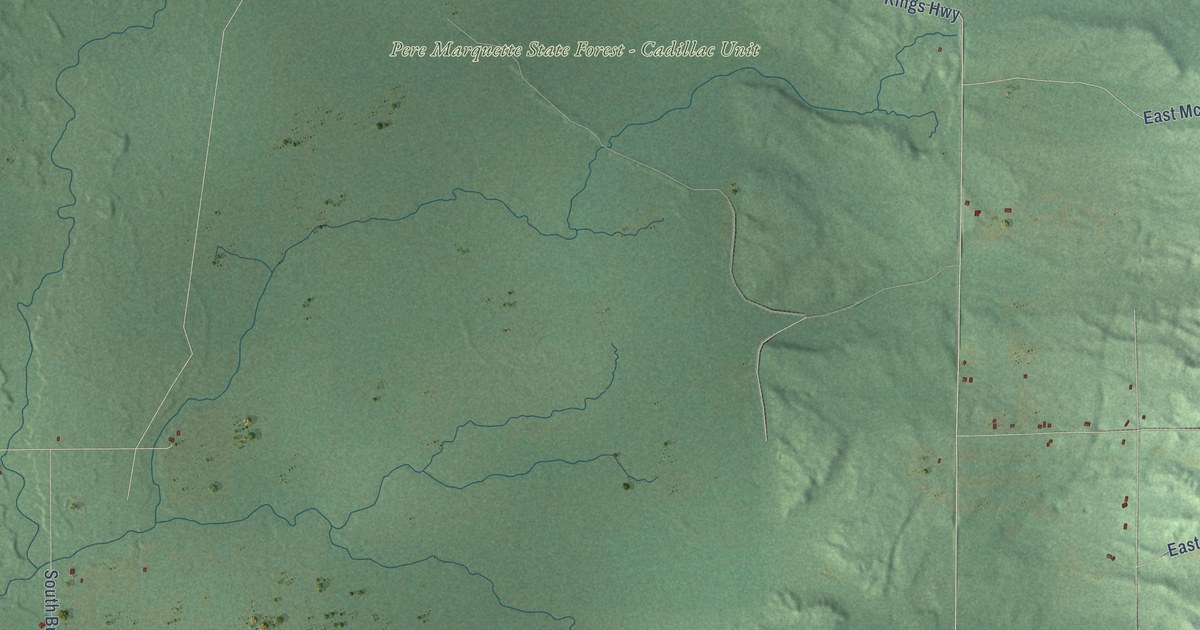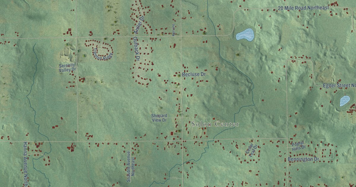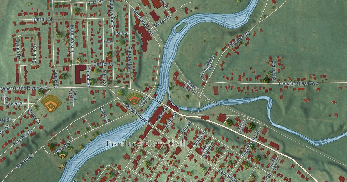
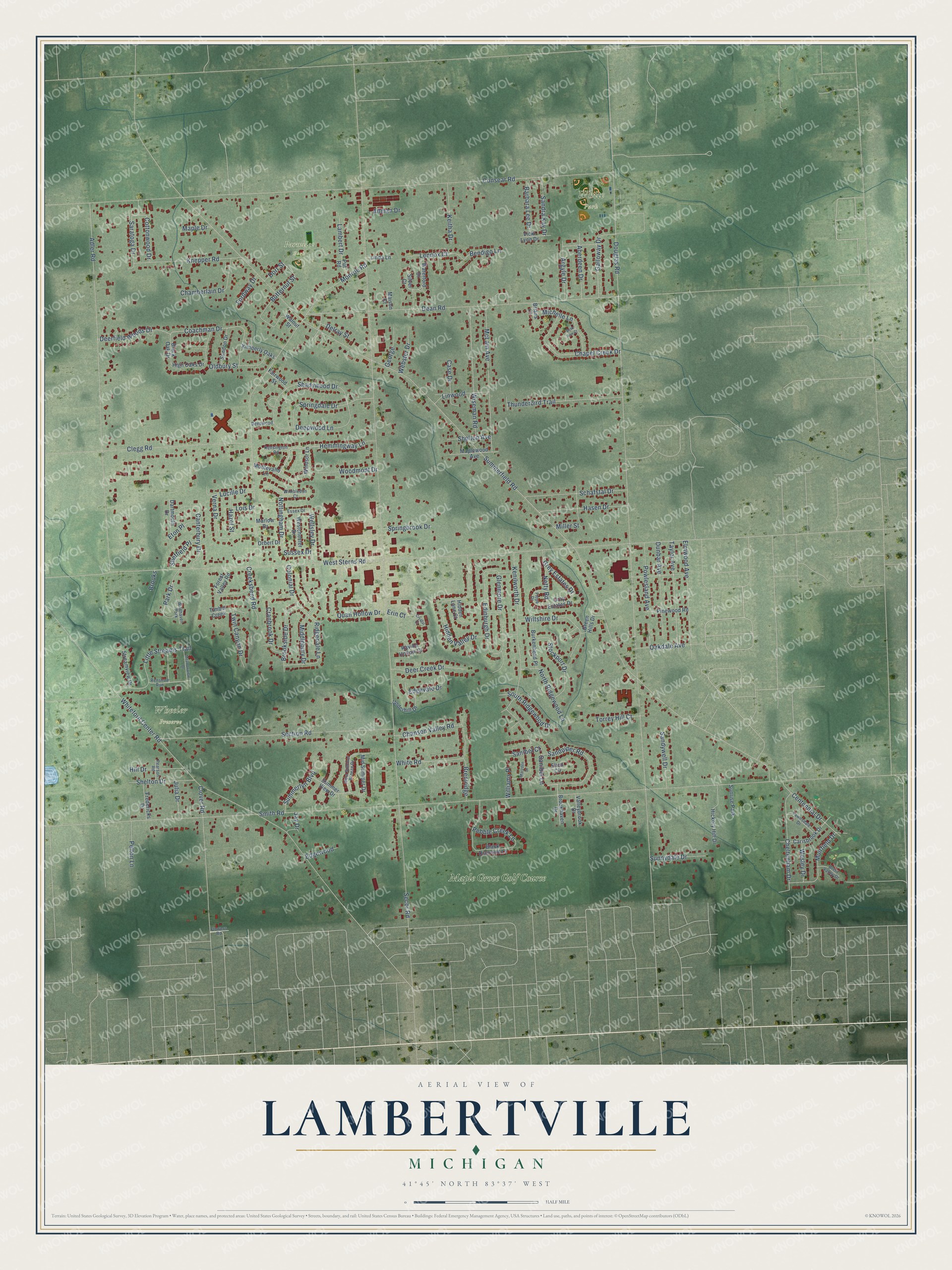
This beautifully detailed map of Lambertville, Michigan was created in 2026 using aerial imagery combined with modern topographical, census, street and landmark data. It's a modern aerial view of Lambertville in Monroe County, Michigan, that combines modern data with a vintage aesthetic. The roads feature printed names, and if you look closely you can find your exact house accurately shown in its correct location.
Explore an aerial view of Lambertville, Michigan
On this map you'll find Parmelee Park, Wheeler Preserve, White Park, Maple Grove Golf Course, Sanibel Lane, Coachman Drive, Erin Court, Summerfield Road, Secor Road, Douglas Road, Smith Road, West Sterns Road, and more. Each red shape is a building, so zoom in on the preview and look for yours.
Here is a piece of Lambertville history, in the words of the record. The History of Monroe County puts it this way: "Lambertville is located on the line between sections 19 and 30, three-fourths of a mile from the west line of the township, and was established in 1836."
Lambertville is a community in Monroe County. The Census Bureau counted 10,433 people here in 2020.
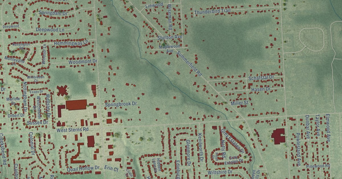
Take a closer look at the Lambertville map
Names on this map
These names are printed on this map.
Places: Parmelee Park, Wheeler Preserve, White Park, Maple Grove Golf Course, Sunrise Park and Wildhaven Park.
Streets and roads: Sanibel Lane, Coachman Drive, Erin Court, Summerfield Road, Secor Road, Douglas Road, Smith Road, West Sterns Road, Consear Road, Adler Road, Monroe Road, Whiteford Center Road.
More street names, A to Z
Aberdeen Drive, Allman Drive, Argyle Drive, Barbara Lee Drive, Bendigo Lane, Beth Ann Court, Black Diamond Lane, Black Oak Drive, Brentridge, Brent Valley Drive, Brians Court, Brookhaven Drive, Brooks, Brookside Drive, Burkenhead Place, Butternut Street, Canterbury Drive, Carisbrook Drive, Case Drive, Centennial Drive, Chamberlain Drive, Chanson Valley Road, Chapel Creek Drive, Cheltenham Drive, Clegg Road, Clover Road, Colonial Drive, Cottonwood Drive, Cranbrook Drive, Creeksbend Road, Crystal Court, Dartmouth Drive, Dean Road, Deepwood, Deepwood Lane, Deer Creek Drive, Deerfield Woods Drive, Delray Street, Dorr Street, Dunbar Avenue, Edgevale Drive, Edgewood, Edinburgh Drive, Elmwood Avenue, Elton Circle, Essex Drive, Eton Place, Fairwood Street, Flowers Road, Floyd Drive, Fordway Drive, Forest Valley Road, Fredericks Drive, Galloway Drive, George, Glenmore Drive, Gray Estates Drive, Green Hills Drive, Grey Estates Drive, Hasen Drive, Hazel Street, Hemmingway Lane, Hickory Hill Drive, Hidden Lane Court, Hidden Valley Drive, High Oaks Drive, Hill Drive, Jay Drive, Julia Drive, Keitha Drive, Kenilworth Drive, Kensington Road, Kimberly Oaks, Knepper Road, Lambert Drive, Lawnsdale Drive, Lennox Court, Linda Lane, Linwood, Little Streams Trail, Lois Drive, Lucille Drive, Maison Court, Maple Drive, Maplewood Avenue, Marlow Drive, Marzden Drive, McLain Avenue, Meadowview Drive, Michelle Lane, Middlebury Drive, Mid Summer Drive, Miller Street, Montevallo Lane, Muirfield Drive, Netty Road, North Ridgewood Lane, Nottingham Drive, Oakdale Avenue, Oldbury Street, Orbert Drive, Park Drive, Pearson Road, Pebble Creek Lane, Pelton Lane, Pinewood Road, Powlesland Avenue, Put Road, Quail Hollow Drive, Ravine Hollow Court, Renshaw Run, Ridgedale Lane, Sandpiper Road, Sandra Kay Drive, Sandywell Drive, Sanibel Court, Saratoga Drive, Schafstal Drive, Section Road, Shadywood Drive, Sheffield Place, Shelton Avenue, Shelton Drive, Silver Court, South Ridgewood Drive, Springbrook Drive, Springdale Drive, Stockport Drive, Streamview Drive, Summerlyn Boulevard, Summer View Drive, Sundon Drive, Sunnydale Drive, Sussex Drive, Taylor Avenue, Thunderbird Trail, Timber Creek, Torrey Hill Court, Twin Canyon Drive, Underhill Drive, Valleybrook Drive, Verna Drive, Vicki Lynn Drive, Walnut Street, Waterford Drive, Webster Drive, Wellsley Drive, Wesley Drive, Westchester Drive, West Summer Breeze Drive, White Road, Williams Place, Wiltshire Drive, Wimbledon Court, Windsor Lane, Wiseman Road, Woodmont Drive.
Created by KNOWOL in 2026. The buildings are small red shapes, the roads carry their printed names, and shaded relief shows the shape of the land. The title panel reads "AERIAL VIEW OF LAMBERTVILLE, MICHIGAN" with 41°45' NORTH 83°37' WEST.
It suits a den, a classroom or a front hall, and it makes a gift for anyone with Lambertville roots. Open the preview and find the block you know. See sizes and frames for the Lambertville map.