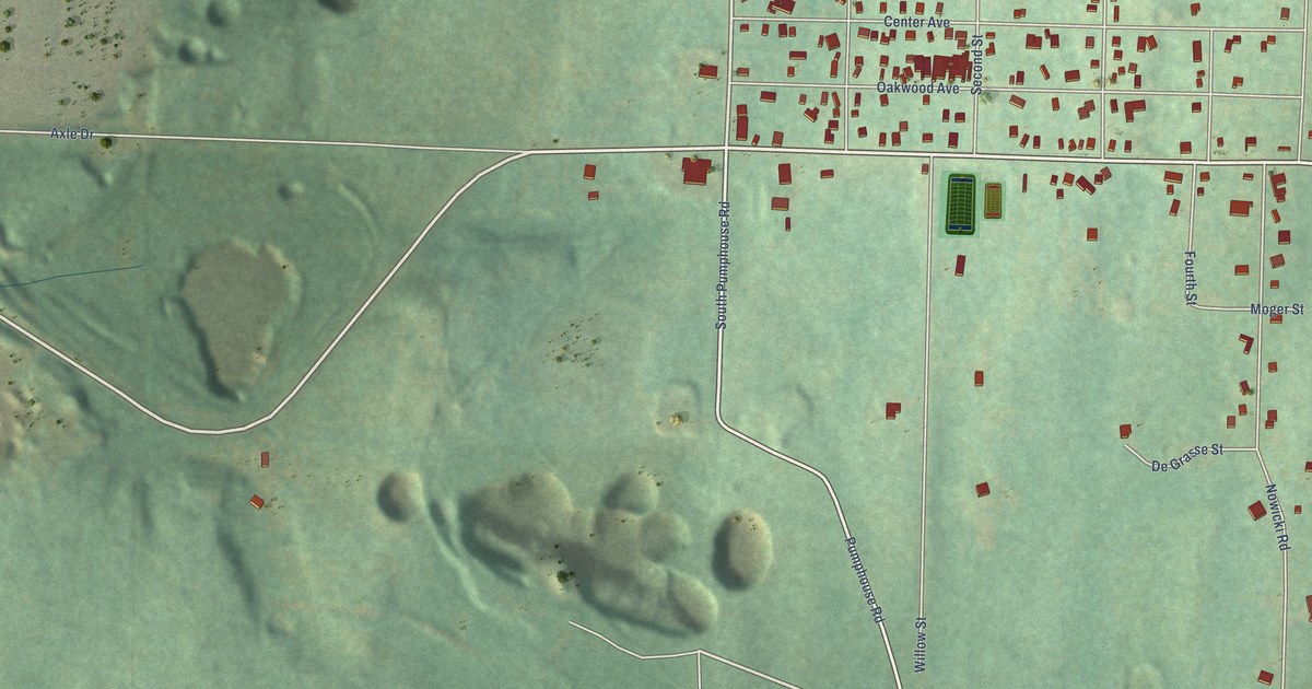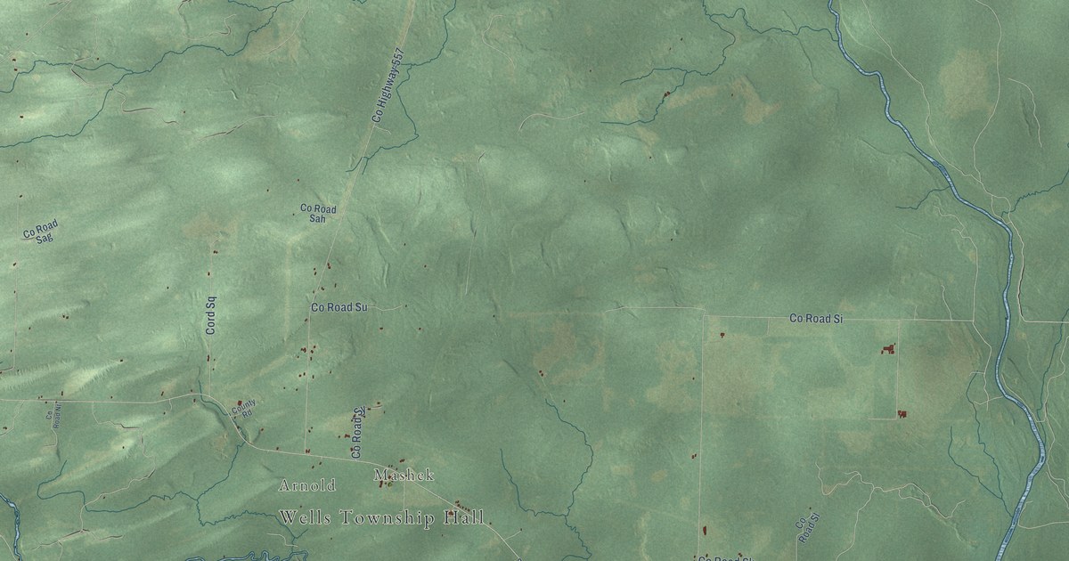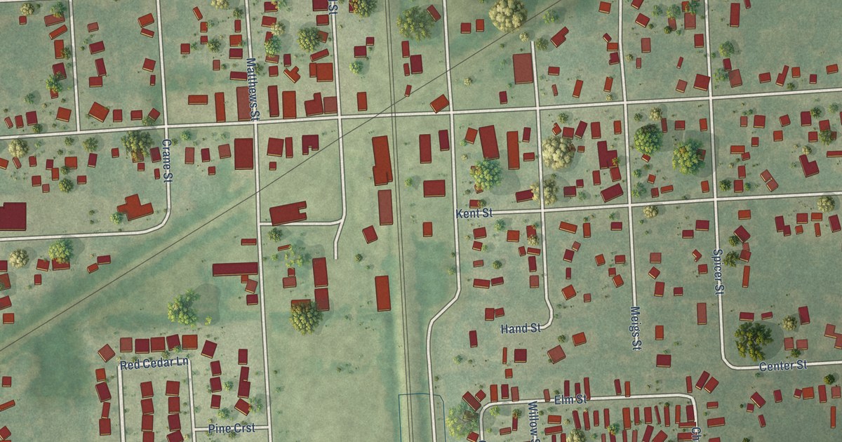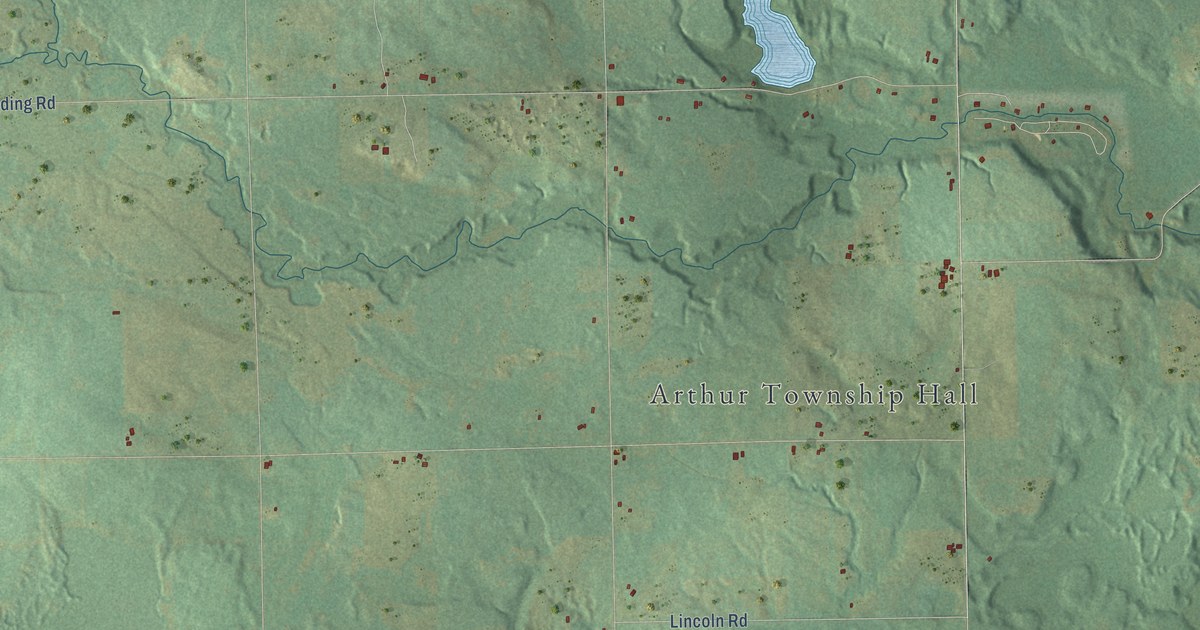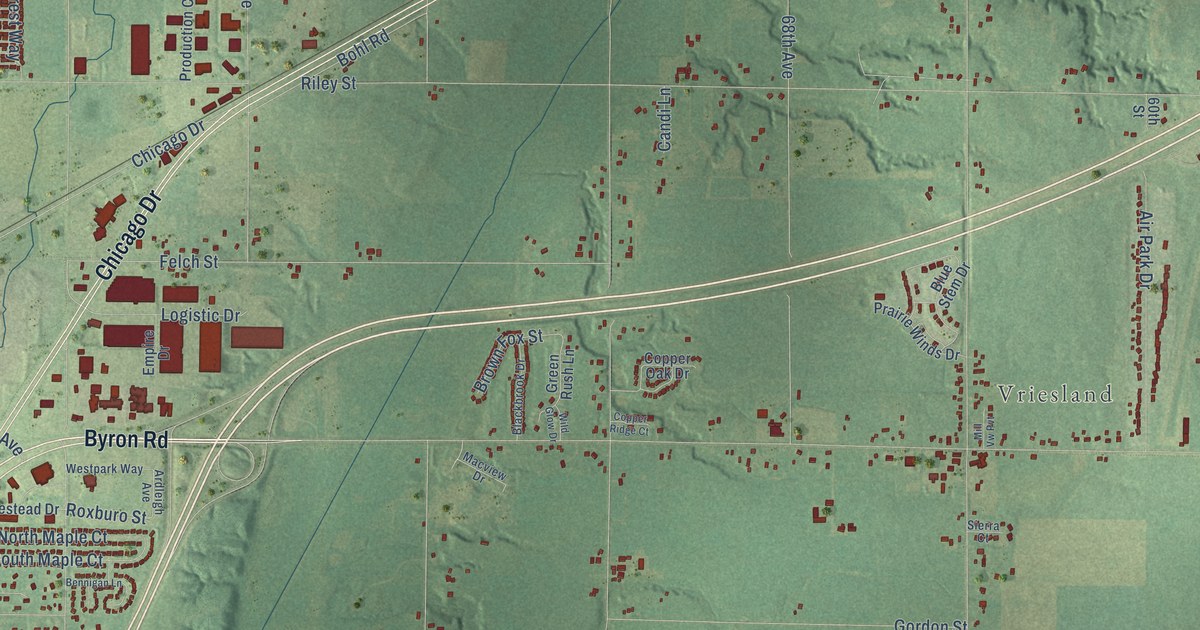
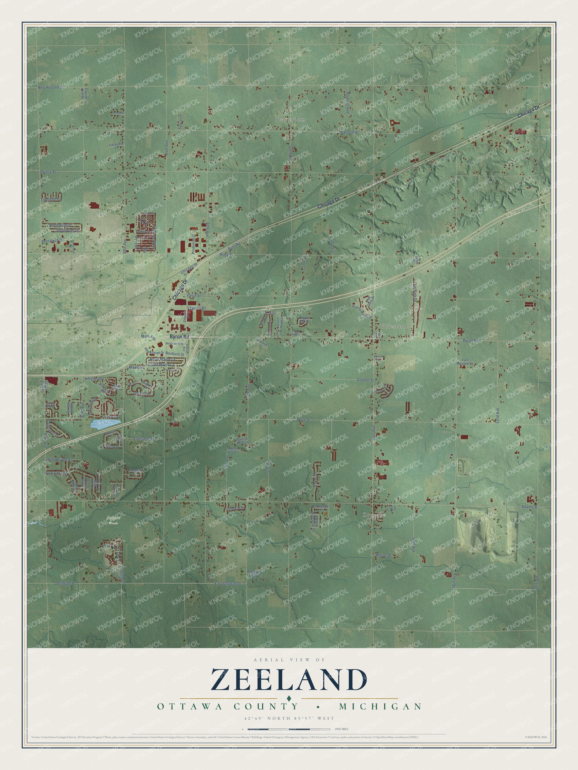
This beautifully detailed map of Zeeland, Michigan was created in 2026 using aerial imagery combined with modern topographical, census, street and landmark data. It's a modern aerial view of Zeeland in Ottawa County, Michigan, that combines modern data with a vintage aesthetic. The roads feature printed names, and if you look closely you can find your exact house accurately shown in its correct location.
Explore an aerial view of Zeeland, Michigan
On this map you'll find Beaverdam, Drenthe, Vriesland, Poppen Woods, Byron Road, Chicago Drive, East Ottogan Street, Roxburo Street, Lindy Lane, 84th Avenue, 48th Avenue, Riley Street, and more. Each red shape is a building, so zoom in on the preview and look for yours.
Here is a piece of Zeeland history, in the words of the record. The Compendium of Ottawa County puts it this way: "In 1851, Zeeland township was constituted out of a part of the territory of Allendale, and in 1854, Blendon. The first town meeting was held at the house of Richard Roberts, and Jeremy Stubbs was the first supervisor."
The Census Bureau counted 12,008 people here in 2020.
Take a closer look at the Zeeland map
Names on this map
These names are printed on this map.
Places: Beaverdam, Drenthe, Vriesland and Poppen Woods.
Streets and roads: Byron Road, Chicago Drive, East Ottogan Street, Roxburo Street, Lindy Lane, 84th Avenue, 48th Avenue, Riley Street, New Holland Street, 64th Avenue, Adams Street, 56th Avenue.
More street names, A to Z
52nd Avenue, 60th Avenue, 60th Street, 68th Avenue, 72nd Avenue, 74th Avenue, 76th Avenue, 78th Avenue, 80th Avenue, 88th Avenue, 92nd Avenue, 96th Avenue, Air Park Drive, Amethyst Drive, Ardleigh Avenue, Bennigan Lane, Blackbrook Drive, Blue Stem Drive, Bluff Lake Drive, Bluff Lake Street, Bohl Road, Brown Fox Street, Candi Lane, Centennial Street, Copper Oak Drive, Copper Ridge Court, Creek Run, Eagle Street, East Bluff Court, Empire Drive, Esker Drive, Fall Meadow Court, Fallow Drive, Felch Street, Fieldstone Drive, Fieldview Court, Fluorite Drive, Frontage Road, Garden View Drive, Gordon Street, Green Rush Lane, Greenview Court, Groveside Drive, Hillcrest Drive, Hillcrest Way, Homestead Drive, Knoll Drive, Lakeview Drive, Lizbeth Drive, Logan Lane, Logistic Drive, Macview Drive, Main Avenue, Majestic Vue, Maple Lane, Maple Valley Drive, Mason Street, Meadow Lark Lane, Mesa View Drive, Mica Drive, Mid Bluff Drive, Midgrove Drive, Mill Vw Pvt, Moonlight Drive, North Maple Court, Northwind Drive, Ottogan Street, Patti Place, Pear Lane, Pentatech Drive, Perry Street, Prairie Winds Drive, Production Court, Quincy Street, Ransom Street, Ridgecrest Drive, Sand Lake Drive, Settlement Lane, Sierra Court, South Clearwater Drive, South Maple Court, South State Street, Southwind Drive, Summit Court, Sunburst Drive, Sun Park Drive, Sunrise Bluff Lane, Sunset View Lane, Suntree Drive, Swallow Street, Sylvia Lane, Townline Court, Trillium Lake Drive, Turning Leaf Drive, Westpark Way, Westwind Drive, Wild Glow Drive, Woodbridge Street, Woodland Way.
Created by KNOWOL in 2026. The buildings are small red shapes, the roads carry their printed names, and shaded relief shows the shape of the land. The title panel reads "AERIAL VIEW OF ZEELAND, OTTAWA COUNTY • MICHIGAN" with 42°49' NORTH 85°57' WEST.
It suits a den, a classroom or a front hall, and it makes a gift for anyone with Zeeland roots. Open the preview and find the block you know. See sizes and frames for the Zeeland, Ottawa County map.