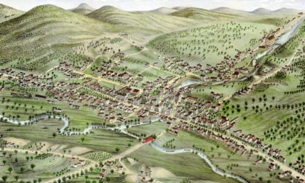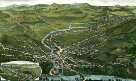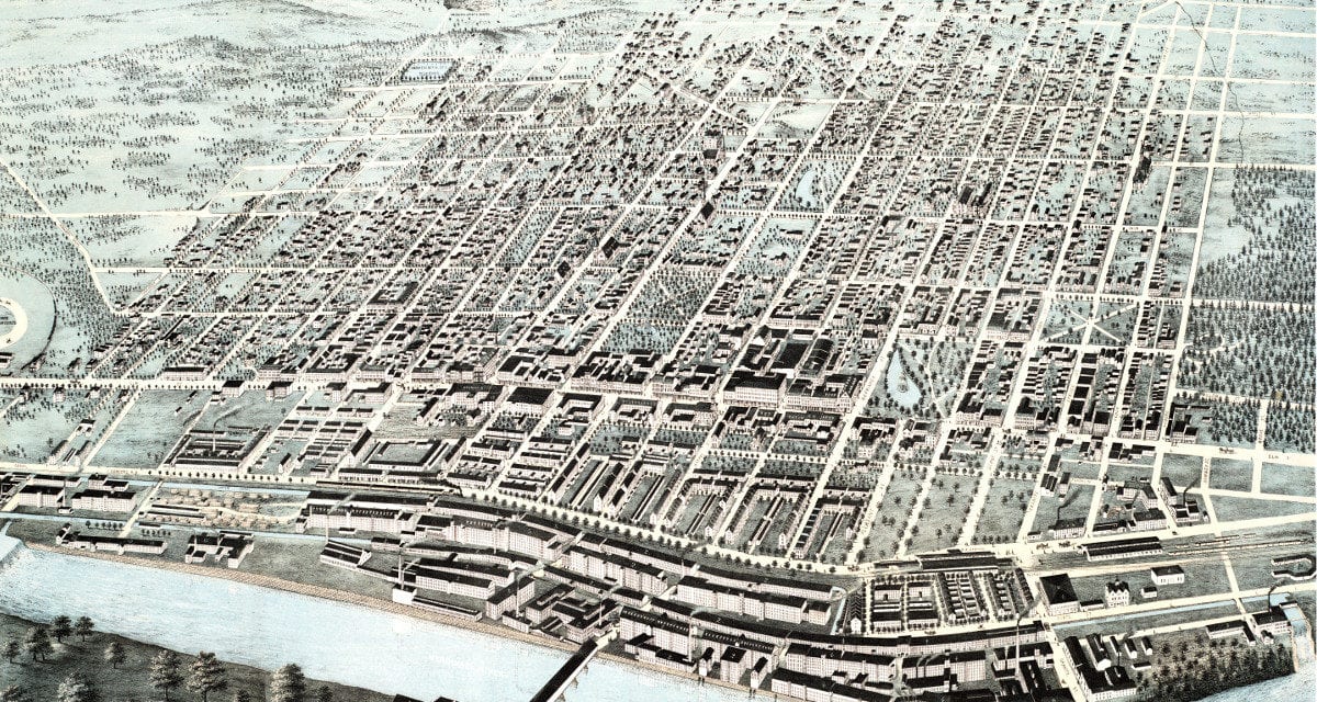
This map shows Manchester, New Hampshire as it looked in 1876. It was created by J.C. Hazen, and digitally restored by the team at KNOWOL. You can see a larger copy of the map below, or click here to purchase a high resolution poster print of the map.
This vintage map of Manchester, NH shows locations such as the Manchester Fair Grounds, the Railroad Station, Concord Square, Hanover Square, City Hall, and Manchester Mills.
Click here to see a larger version of the map.
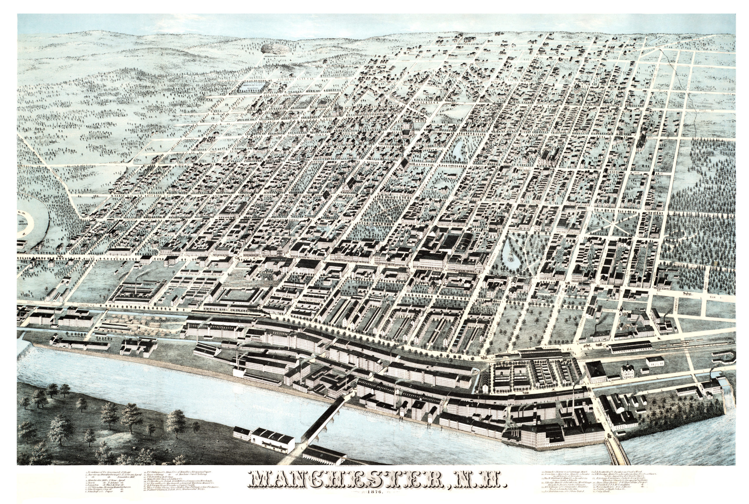
Click here to get a high resolution poster of this map for only $34.95.