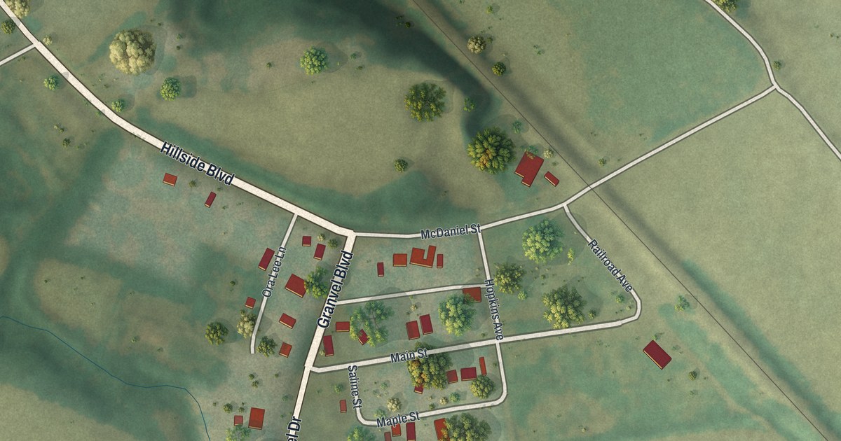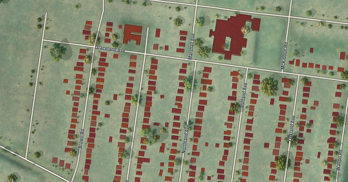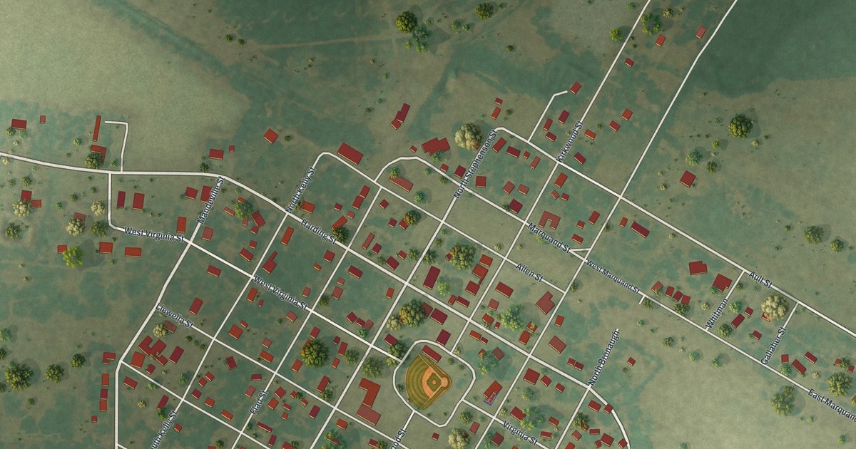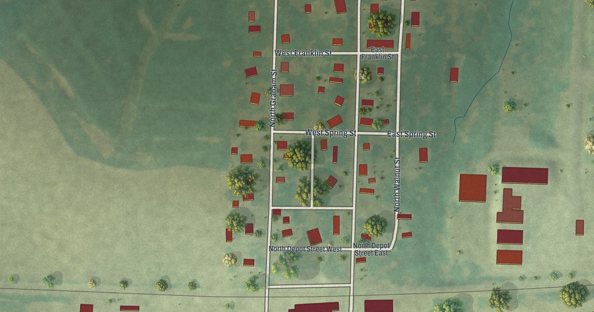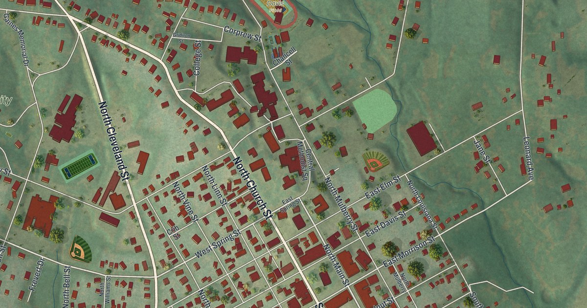
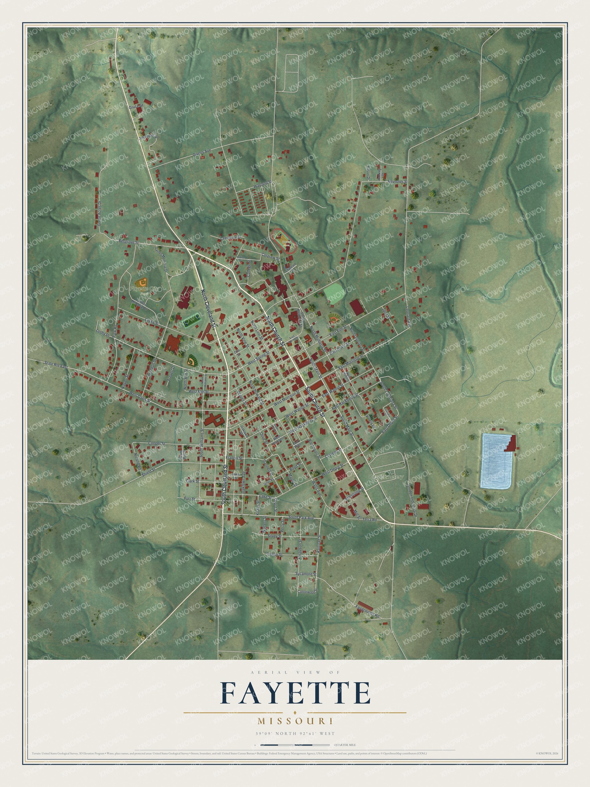
This beautifully detailed map of Fayette, Missouri was created in 2026 using aerial imagery combined with modern topographical, census, street and landmark data. It's a modern aerial view of Fayette in Howard County, Missouri, that combines modern data with a vintage aesthetic. The roads feature printed names, and if you look closely you can find your exact house accurately shown in its correct location.
Explore an aerial view of Fayette, Missouri
On this map you'll find City Cemetery, Fayette City Park, Davis Field, North Church Street, North Cleveland Street, South Church Street, South Cleveland Street, South Main Street, North Main Street, South Park Avenue, Railroad Street, West Spring Street, and more. Each red shape is a building, so zoom in on the preview and look for yours.
Fayette has a story worth telling. The History of Franklin Jefferson Washington puts it this way: "Fayette (named for Gen. La Fayette) became the county seat in 1823."
Fayette is a city in Howard County. The Census Bureau counted 2,803 people here in 2020.
Take a closer look at the Fayette map
Names on this map
These names are printed on this map.
Places: City Cemetery, Fayette City Park and Davis Field.
Streets and roads: North Church Street, North Cleveland Street, South Church Street, South Cleveland Street, South Main Street, North Main Street, South Park Avenue, Railroad Street, West Spring Street, East Morrison Street, Besgrove Street, Shield Street.
More street names, A to Z
Armstrong Street, Boyd Street, Central Methodist Square, Chancell Street, Clark Street, College Street, Cooper Street, Corprew Street, Cottonwood Street, Cravens Street, Crib Street, Depot Street, East Davis Street, East Depot Street, East Elm Street, East Hackberry Street, East Spring Street, East Walnut Street, Fairgrounds Road, Falcon Drive, Ferguson Street, Forest Street, Francis Street, Frevert Drive, Furr Street, Gaines Memorial Drive, Gannett Street, Givens Avenue, Golden Industrial Drive, Graves Street, Green Acres Drive, Gridiron Street, Gruce Street, Hackley Drive, Herndon Street, Jack Wills, James Road, Jane Street, Johnmeyer Street, Knaus Street, Lake Street, Landers Memorial Drive, Lawrence Drive, Leonard Avenue, Louisiana Court, Lucky Street, Lusby Drive, Maple Street, Mill Street, Nipper Street, Noland Road, North Bell Street, North Howard Street, North Linn Street, North Louisiana Street, North Mulberry, North Mulberry Street, North Vine Street, North Williams Street, Oaklawn Avenue, Oaklawn Street, Olive Street, Park Road, Perry Street, Reynolds Street, Rocheport Street, Silvey Street, South Bell Street, South Howard, South Louisiana Street, South Williams Street, State Route East, Sycamore Street, Terra Road, Tolson Street, Villers Drive, Walters Street, Watts Avenue, Wayland Street, West Davis Street, West Depot Street, West Elm Street, West Hackberry, West Hackberry Street, West Morrison Street, West Walnut Street.
See it on a wall
The Fayette map as a framed print. Swipe for more.


Created by KNOWOL in 2026. The buildings are small red shapes, the roads carry their printed names, and shaded relief shows the shape of the land. The title panel reads "AERIAL VIEW OF FAYETTE, MISSOURI" with 39°09' NORTH 92°41' WEST.
It looks right in a kitchen, an office or a den, and it's a gift for anyone who grew up in Fayette or moved away. Open the preview and find your street. See sizes and frames for the Fayette map.