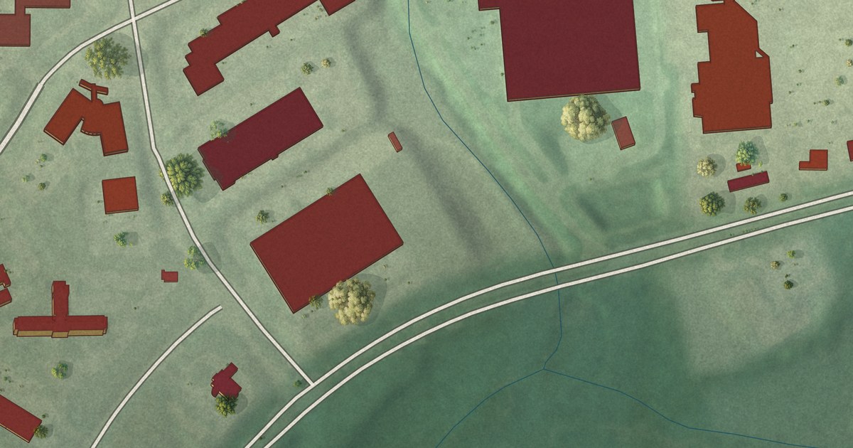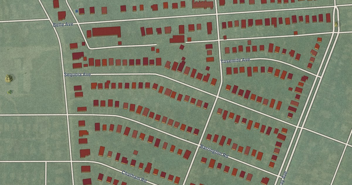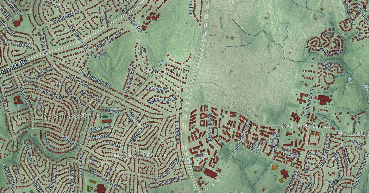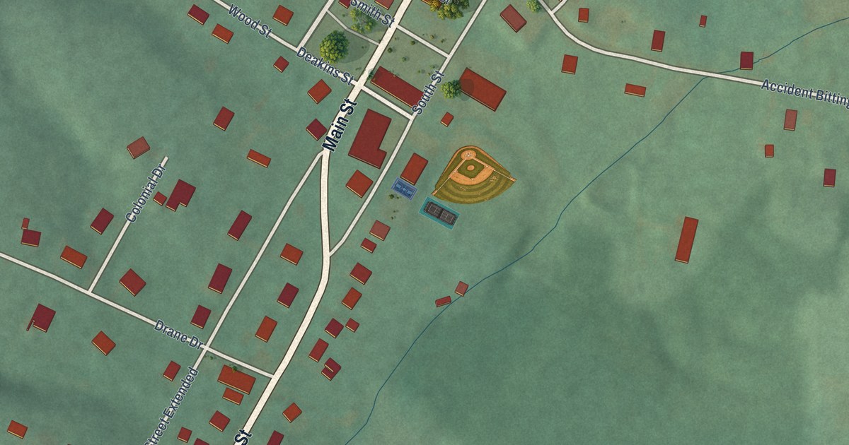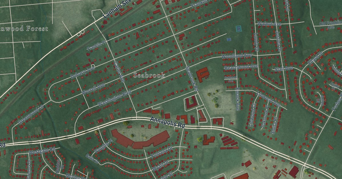
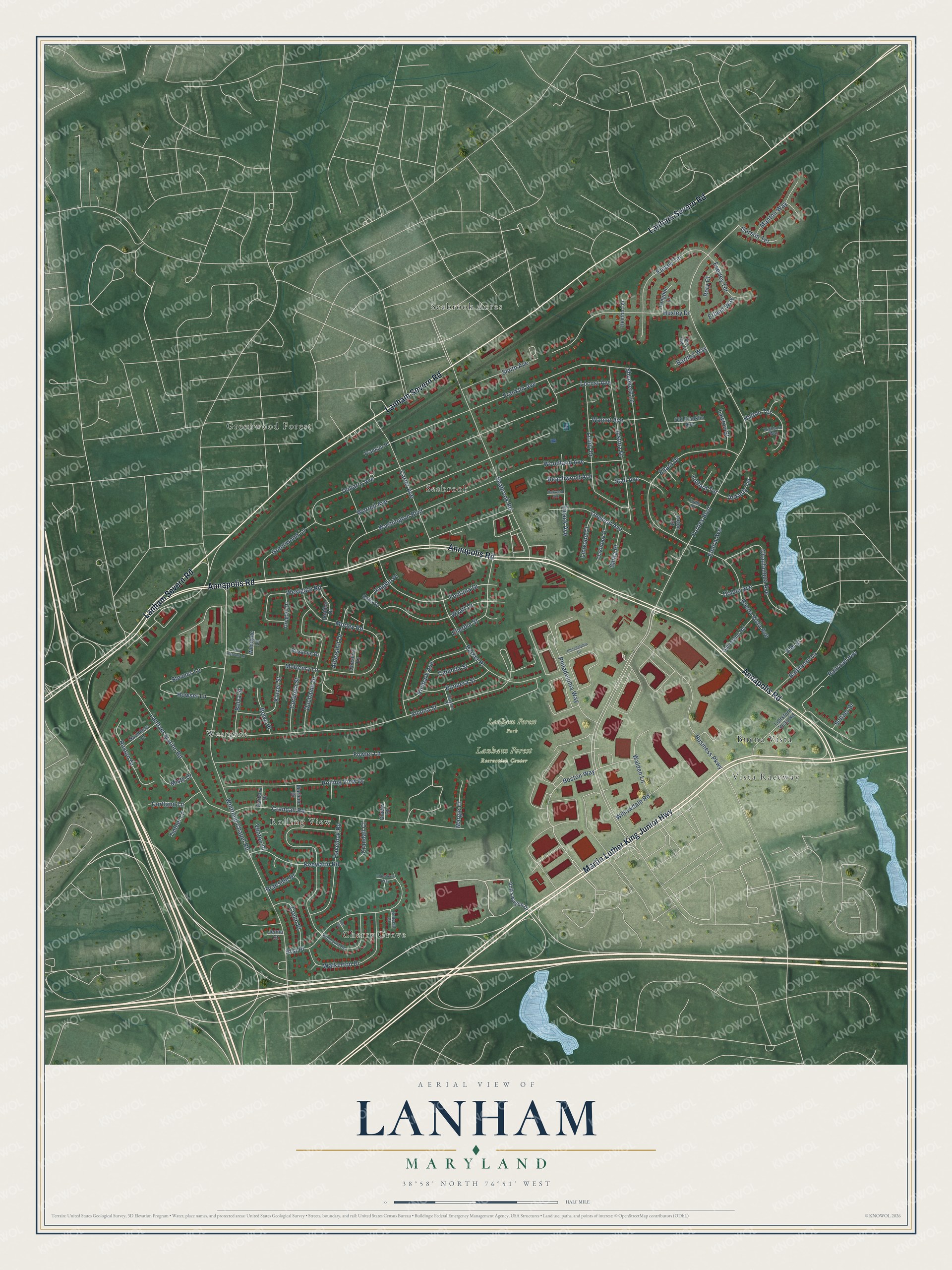
This beautifully detailed map of Lanham, Maryland was created in 2026 using aerial imagery combined with modern topographical, census, street and landmark data. It's a modern aerial view of Lanham in Prince George's County, Maryland, that combines modern data with a vintage aesthetic. The roads feature printed names, and if you look closely you can find your exact house accurately shown in its correct location.
Explore an aerial view of Lanham, Maryland
On this map you'll find Lanham Forest Recreation Center, Lanham Forest Park, Seabrook Acres, Cherry Grove, Greenwood Forest, Buena Vista, Westgate, Seabrook, Rolling View, Vista Raceway, Martin Luther King Junior Highway, Annapolis Road, and more. Each red shape is a building, so zoom in on the preview and look for yours.
Lanham is a community in Prince George's County. The Census Bureau counted 11,282 people here in 2020. The map prints the town name in its title panel, with the coordinates below it.
Take a closer look at the Lanham map
Names on this map
These names are printed on this map.
Places: Lanham Forest Recreation Center, Lanham Forest Park, Seabrook Acres, Cherry Grove, Greenwood Forest, Buena Vista, Westgate, Seabrook, Rolling View and Vista Raceway.
Streets and roads: Martin Luther King Junior Highway, Annapolis Road, Lanham Severn Road, Boston Way, Forbes Boulevard, Fontana Drive, Ellerbie Street, Barker Place, Washington Boulevard, Whitfield Chapel Road, Franklin Avenue, Alcona Street.
More street names, A to Z
91st Court, 91st Place, Ackerly Terrace, Aldershot Drive, Axton Court, Balla Drive, Baltimore Lane, Bandera Street, Barbara Drive, Bartley Way, Beachwood Avenue, Belva Place, Belva Street, Box Oak Court, Braeside Drive, Buena Vista Avenue, Business Parkway, Calanda Street, Carter Avenue, Chautauqua Avenue, Cheshire Lane, Clayton Street, Concept Court, Cordona Street, Cortland Lane, Crandall Court, Crandall Road, Crelin Place, Cudby Court, Diablo Avenue, Dubarry Avenue, Duchaine Drive, Elderberry Way, Ellard Drive, Elmira Avenue, Elm Street, Emack Avenue, Erland Way, Everley Terrace, Fowler Lane, Franklin Place, Galveston Road, Garson Terrace, Gladys Court, Greenwood Lane, Gregory Drive, Haddon Drive, Halton Terrace, Havelock Road, Heston Terrace, Highboro Way, Howser Lane, Huxley Drive, Jenna Court, Justina Drive, Keewatin Road, Kimbark Avenue, Kinmount Road, Kinsey Terrace, Kinzer Street, Langdon Lane, Lanham Station Road, Lawton Court, Linford Terrace, Linwood Avenue, Linwood Court, Locust Avenue, Lottsford Vista Road, Lundy Drive, Manton Way, Margie Court, Marlene Drive, McHenry Lane, Misty Drive, Morley Road, Oakbrook Place, Oakwood Avenue, Old Browns Lane, Old Franklin Avenue, Philadelphia Court, Philadelphia Way, Railroad Avenue, Rolling View Drive, Rory Court, Roxanne Drive, Ruxton Drive, Saunders Lane, Seabrook Road, Seltzer Street, Shepherd Lane, Smita Place, Smith Avenue, Stall Avenue, Stevens Lane, Timber Lane, Vaughn Place, Venton Place, Volkswagon Drive, Walden Lane, Walkerton Drive, Walnut Avenue, Westgate Lane, Westgate Road, Willowdale Road, Woodland Avenue, Worrell Avenue, Wyatt Drive.
See it on a wall
The Lanham map as a framed print. Swipe for more.


Created by KNOWOL in 2026. The buildings are small red shapes, the roads carry their printed names, and shaded relief shows the shape of the land. The title panel reads "AERIAL VIEW OF LANHAM, MARYLAND" with 38°58' NORTH 76°51' WEST.
It suits a den, a classroom or a front hall, and it makes a gift for anyone with Lanham roots. Open the preview and find the block you know. See sizes and frames for the Lanham map.