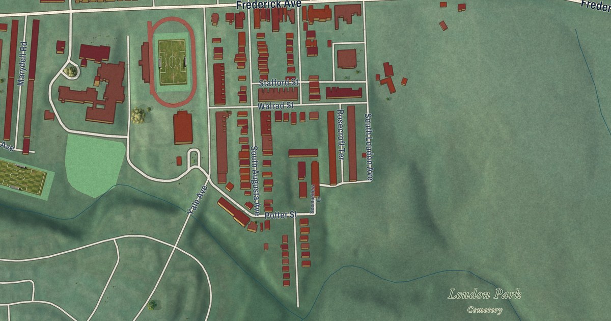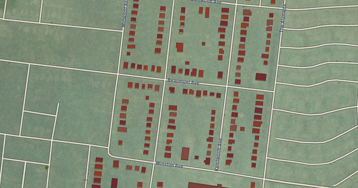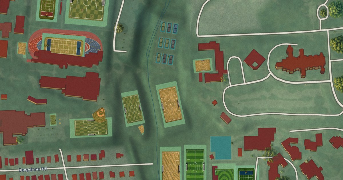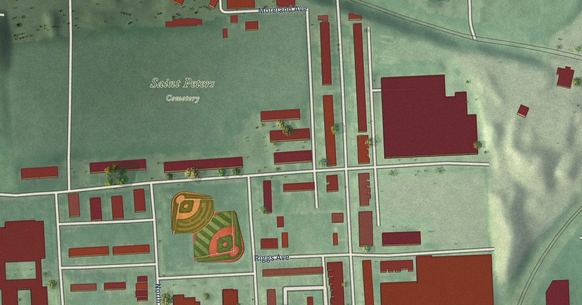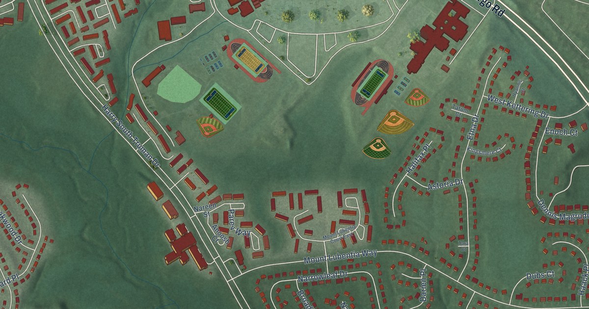
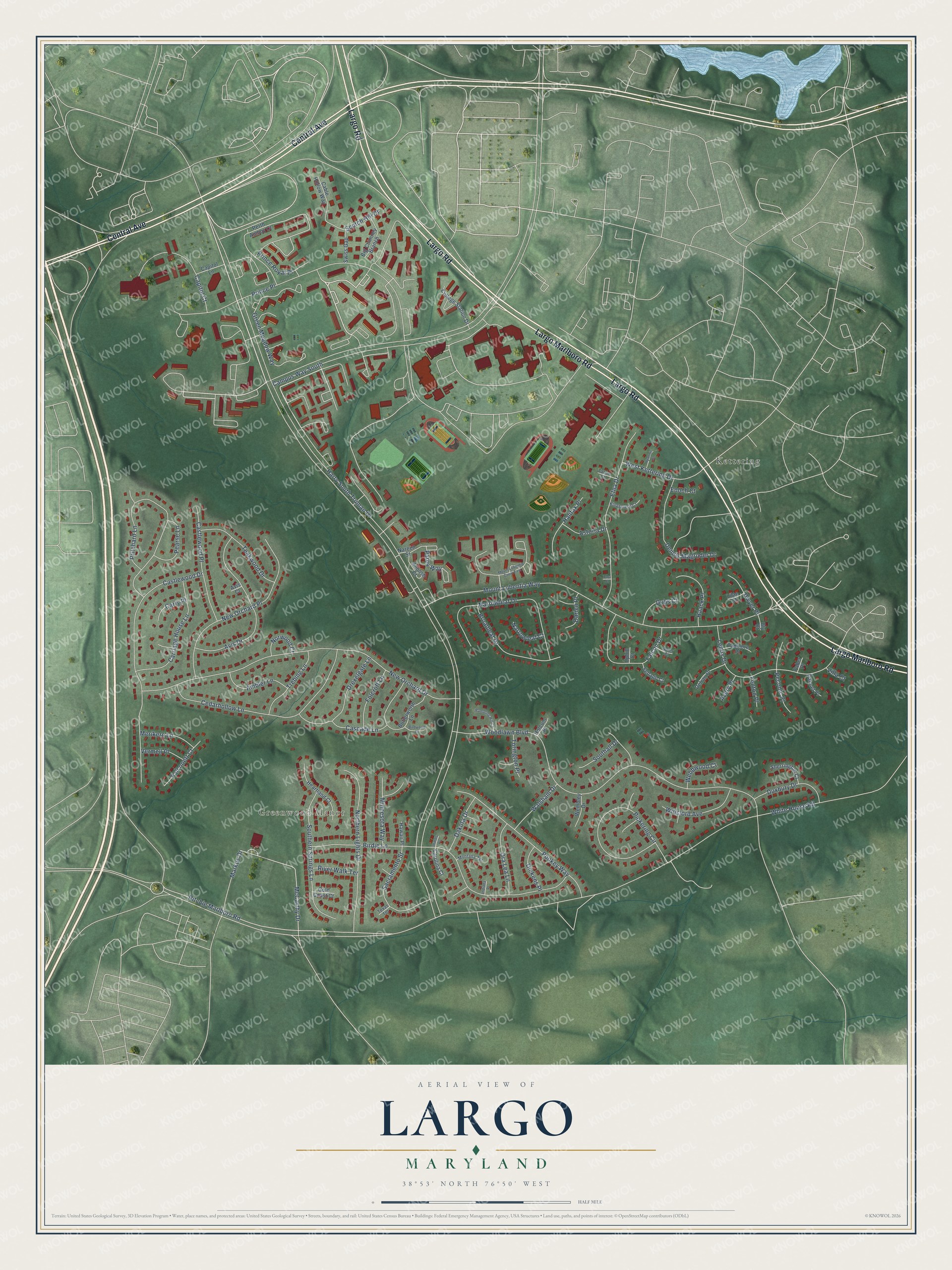
This beautifully detailed map of Largo, Maryland was created in 2026 using aerial imagery combined with modern topographical, census, street and landmark data. It's a modern aerial view of Largo in Prince George's County, Maryland, that combines modern data with a vintage aesthetic. The roads feature printed names, and if you look closely you can find your exact house accurately shown in its correct location.
Explore an aerial view of Largo, Maryland
On this map you'll find Greenwood Manor, Kettering, Largo Road, Largo Marlboro Road, Central Avenue, Harry South Truman Drive, Prince Place, Mount Lubentia Way, McCarthy Drive, White House Road, Ritchie Marlboro Road, Green Meadow Way, and more. Each red shape is a building, so zoom in on the preview and look for yours.
Largo is a community in Prince George's County. The Census Bureau counted 11,605 people here in 2020. The map prints the town name in its title panel, with the coordinates below it.
Take a closer look at the Largo map
Names on this map
These names are printed on this map.
Places: Greenwood Manor and Kettering.
Streets and roads: Largo Road, Largo Marlboro Road, Central Avenue, Harry South Truman Drive, Prince Place, Mount Lubentia Way, McCarthy Drive, White House Road, Ritchie Marlboro Road, Green Meadow Way, Campus Way South, Woodlawn Boulevard.
More street names, A to Z
Adler Court, Ambler Lane, Anoosh Court, Astoria Drive, Avery Place, Avis Court, Avis Drive, Big Chimney Branch, Birdie Lane, Birdwood Court, Bly Court, Broadleaf Drive, Butterworth Lane, Cable Hollow Way, Capitol Court, Capitol Lane, Carolina Court, Carriage House Lane, Carry Place, Cascade Lane, Castlewood Drive, Castlewood Place, Cedarhollow Lane, College Station Drive, Dakota Drive, Dannet Place, Darien Place, Delran Place, Dennis Magruder Drive, Dickens Place, Drexelgate Lane, Dubs Court, Duxbury Drive, Dwyer Place, Enoch Court, Etna Drive, Faber Place, Falcon Drive, Falconett Court, Fenton Place, Folcroft Lane, Gold Coast Court, Haack Place, Halifax Place, Hawaii Place, Heartland Court, Holcum Place, Hyannis Court, Illinois Place, Indiana Place, Kingsmere Court, Lenox Drive, Lilac Court, Markus Drive, Merikern Lane, Minnesota Way, Montana Terrace, Mount Lubentia Court East, Nareen Street, Narrowleaf Court, Narrowleaf Drive, New Orchard Drive, New Orchard Place, Northern Lights Drive, Norwood Court, Ora Lea Lane, Parev Way, Pearse Lane, Peconic Place, Perth Amboy Court, Pickering Circle, Pookey Way, Prince Royal Place, Pritchard Lane, Rambling Hill Court, River Walk Terrace, Sacramento Street, Scotch Hill Drive, Sebago Court, Sherrington Court, Southall Drive, Southern Springs Lane, Swiss Gap, Tadmore Place, Tara Court, Tatum Court, Teakwood Drive, Texas Terrace, Torington Place, Trebing Lane, Uphill Court, Vermell Place, Villa Court, Walsham Drive, Webbwood Court, Wembley Drive, West Kettering Drive, Winsford Avenue.
See it on a wall
The Largo map as a framed print. Swipe for more.


Created by KNOWOL in 2026. The buildings are small red shapes, the roads carry their printed names, and shaded relief shows the shape of the land. The title panel reads "AERIAL VIEW OF LARGO, MARYLAND" with 38°53' NORTH 76°50' WEST.
It looks right in a kitchen, an office or a den, and it's a gift for anyone who grew up in Largo or moved away. Open the preview and find your street. See sizes and frames for the Largo map.