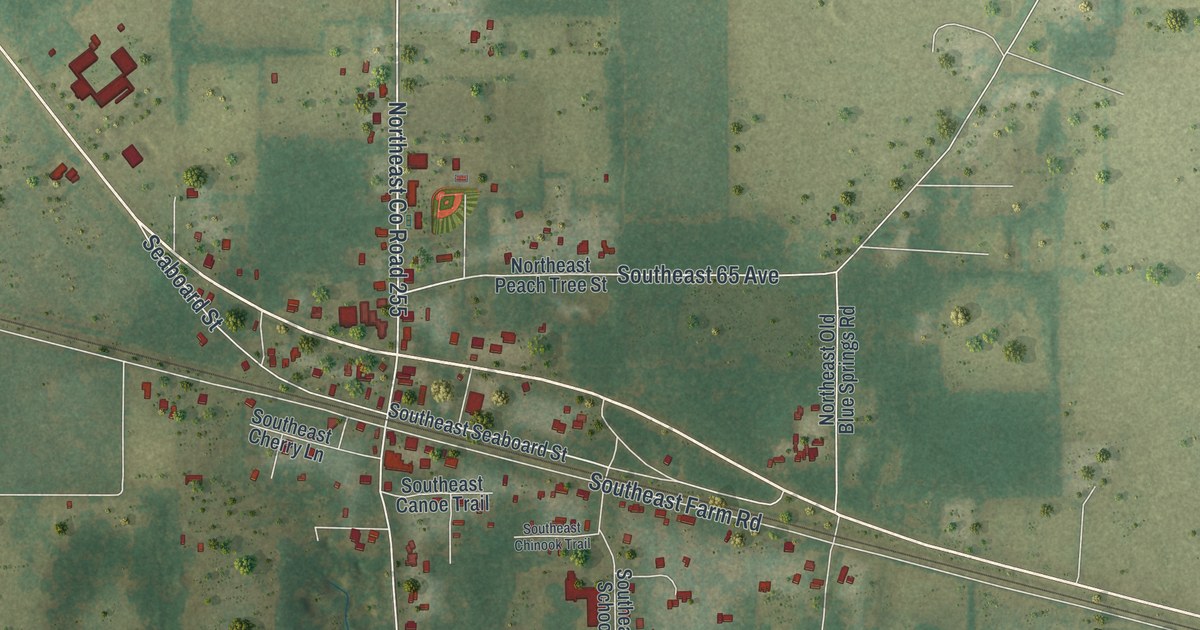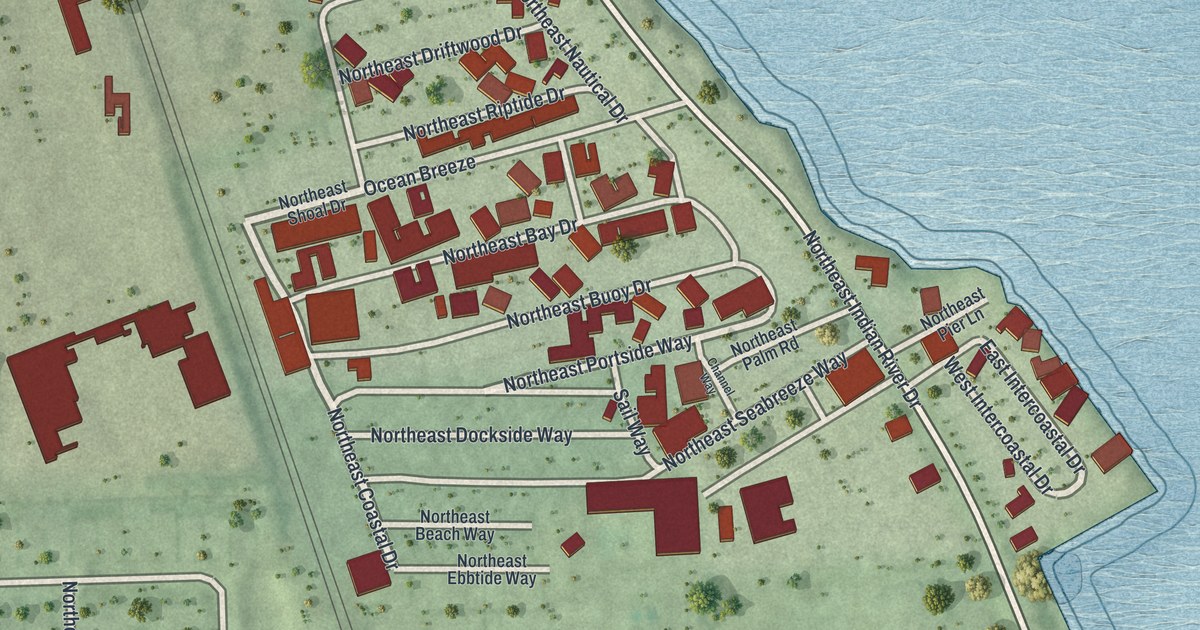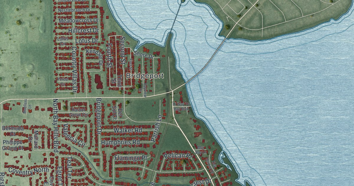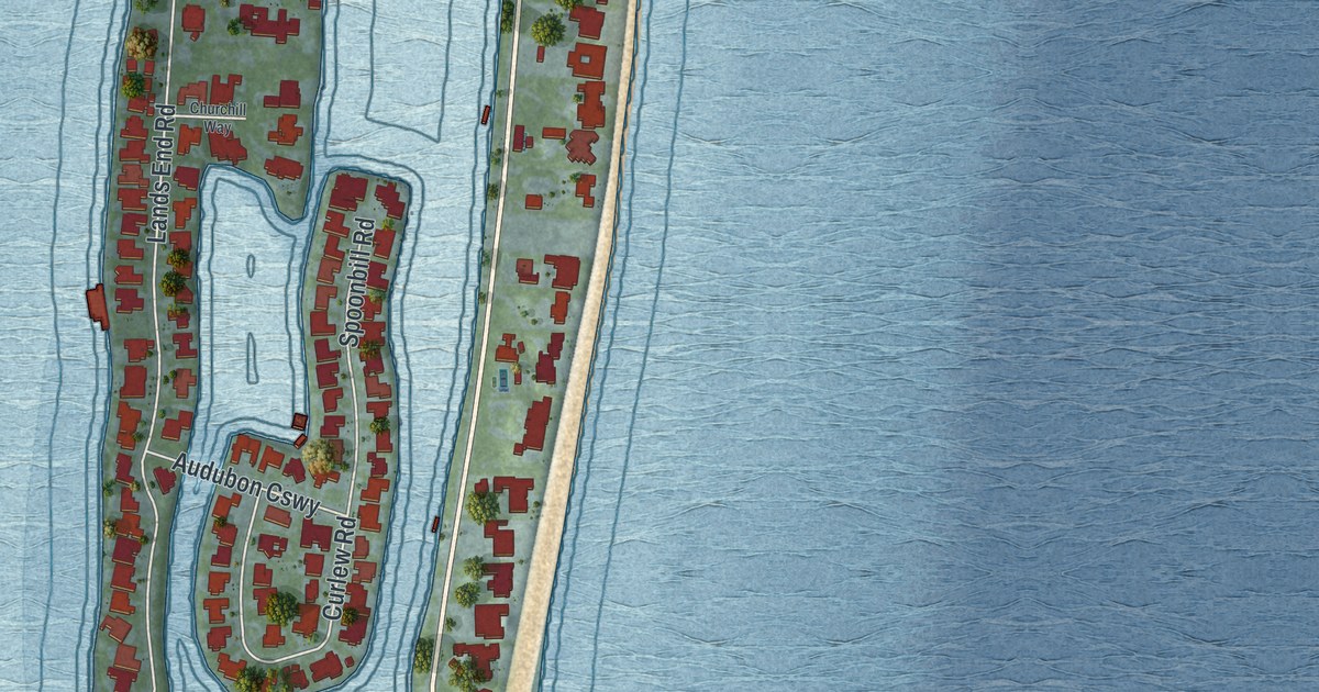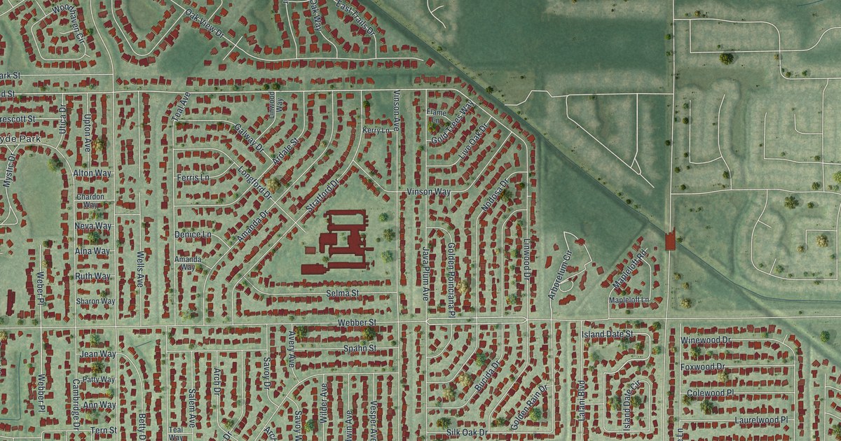
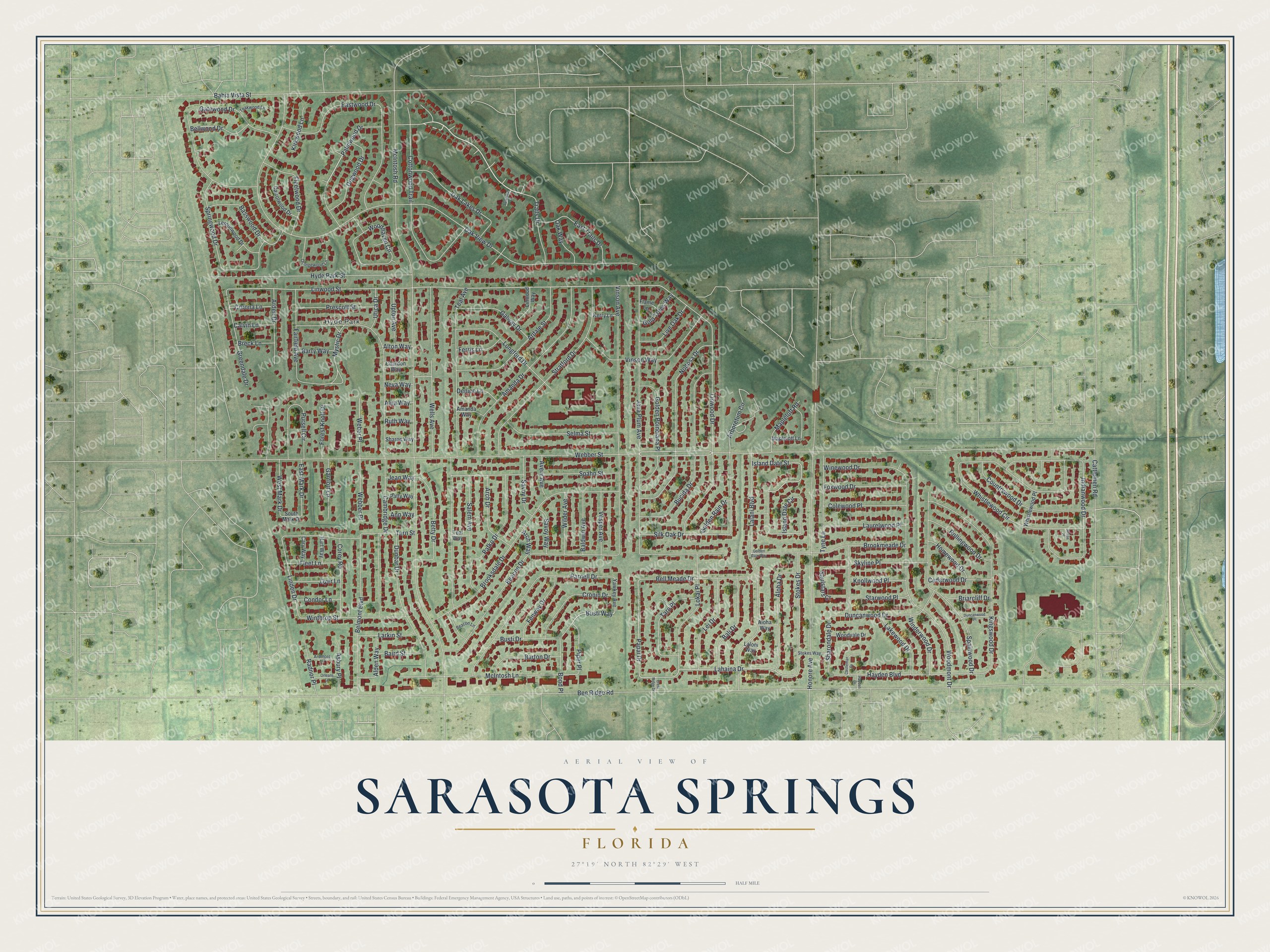
This beautifully detailed map of Sarasota Springs, Florida was created in 2026 using aerial imagery combined with modern topographical, census, street and landmark data. It's a modern aerial view of Sarasota Springs in Sarasota County, Florida, that combines modern data with a vintage aesthetic. The roads feature printed names, and if you look closely you can find your exact house accurately shown in its correct location.
Explore an aerial view of Sarasota Springs, Florida
On this map you'll find Hyde Park, Trails Drive, Palmwood Drive, Busti Way, Lahaina Drive, Papai Drive, Webber Street, Linwood Street, Linden Drive, Arboretum Circle, Piper Place, Bee Ridge Road, and more. Each red shape is a building, so zoom in on the preview and look for yours.
Sarasota Springs is a community in Sarasota County. The Census Bureau counted 12,521 people here in 2020. The map prints the town name in its title panel, with the coordinates below it.
Take a closer look at the Sarasota Springs map
Names on this map
These names are printed on this map.
Places: Hyde Park.
Streets and roads: Trails Drive, Palmwood Drive, Busti Way, Lahaina Drive, Papai Drive, Webber Street, Linwood Street, Linden Drive, Arboretum Circle, Piper Place, Bee Ridge Road, McIntosh Road.
More street names, A to Z
Alden Way, Alna Way, Aloha Drive, Aloha Way, Alton Way, Amanda Drive, Amanda Way, Ann Way, Arch Drive, Arch Way, Ardale Street, Arden Drive, Ardmore Lane, Aruba Place, Asbury Place, Avery Avenue, Bahia Vista Street, Baird Street, Baldwin Avenue, Bali Drive, Barry Way, Barton Drive, Basswood Drive, Beacon Drive, Beacon Lane, Bell Meade Drive, Bellwood Drive, Belmont Boulevard, Betty Drive, Bond Place, Breck Lane, Briarcliff Drive, Brookmeade Drive, Brooksdale Drive, Bucida Drive, Busti Drive, Calvin Lane, Cambridge Drive, Carrolwood Drive, Cary Way, Castleman Drive, Cattlemen Road, Cedarwood Drive, Chardon Way, Colewood Place, Condor Lane, Corey Road, Corona Lane, Cottonwood Trail, Countrywood Drive, Crest Ridge Drive, Cronin Drive, Denice Lane, Dogwood Drive, Dunbar Drive, Duncanwood Drive, Duncanwood Place, Dyer Lane, East Mark Drive, East Trails Drive, Eastwood Drive, Fairfield Avenue, Fenway Drive, Ferris Lane, Flame Lane, Fleet Lane, Fleetwood Drive, Forest Knoll Drive, Foxwood Drive, Galway Drive, Garriott Lane, Gatewood Drive, Golden Poinciana Place, Golden Rain Drive, Golden Rain Way, Gold Trees Way, Greendale Drive, Hart Way, Hayden Boulevard, Hayden Drive, Homewood Drive, Honore Avenue, Hyde Park Street, Indianwood Drive, Island Date Circle, Island Date Street, Java Plum Avenue, Jean Way, Kerry Lane, Kingswood Drive, Kirkwood Lane, Knollwood Place, Lakewood Drive, Lalani Boulevard, Laloni Way, Larkin Street, Laurelwood Place, Lei Drive, Lemonwood Drive, Linwood Drive, Linwood Way, Live Oak Drive, Lokai Place, Longford Drive, Mapleloft Lane, Mapleloft Road, McIntosh Lane, Mystic Drive, Neva Way, Nodosa Drive, Oak Lakes Drive, Oak View Drive, Oak Way, Orangewood Lane, Orleans Lane, Pafko Drive, Parnell Drive, Patty Way, Prescott Street, Pursell Circle, Radnor Place, Rollingwood Drive, Ruth Way, Salem Avenue, Saulstars Court, Savoy Drive, Savoy Way, Selma Street, Sharondale Drive, Sharon Way, Silk Oak Drive, Skyline Place, South Mark Drive, Spahn Street, Spainwood Drive, Springwood Drive, Starwood Place, Stokes Drive, Stokes Way, Stratford Drive, Suwanee Court, Taro Place, Teakwood Lane, Teal Avenue, Teal Way, Tern Street, Tyne Lane, Upton Avenue, Utica Drive, Vesper Avenue, Vinson Avenue, Vinson Way, Webber Place, Weber Place, Wells Avenue, West Mark Drive, Whistlewood Circle, Whistlewood Place, Wilder Avenue, Winderwood Drive, Winewood Drive, Winthrop Street, Woodhaven Circle, Woodmont Drive, Woodvale Drive, Yawkey Avenue.
See it on a wall
The Sarasota Springs map as a framed print. Swipe for more.


Created by KNOWOL in 2026. The buildings are small red shapes, the roads carry their printed names, and shaded relief shows the shape of the land. The title panel reads "AERIAL VIEW OF SARASOTA SPRINGS, FLORIDA" with 27°19' NORTH 82°29' WEST.
Hang it in the hallway, the office or the cabin, or give it to someone who left Sarasota Springs and still calls it home. Open the preview and look for a street you know. See sizes and frames for the Sarasota Springs map.