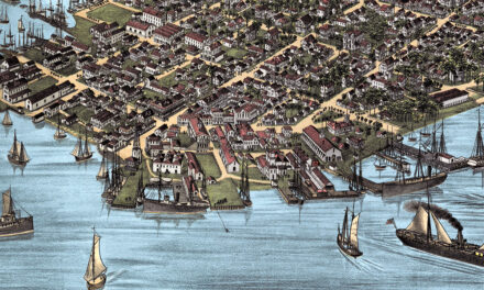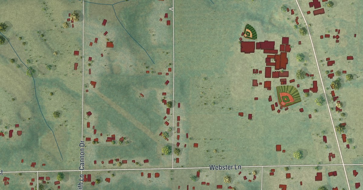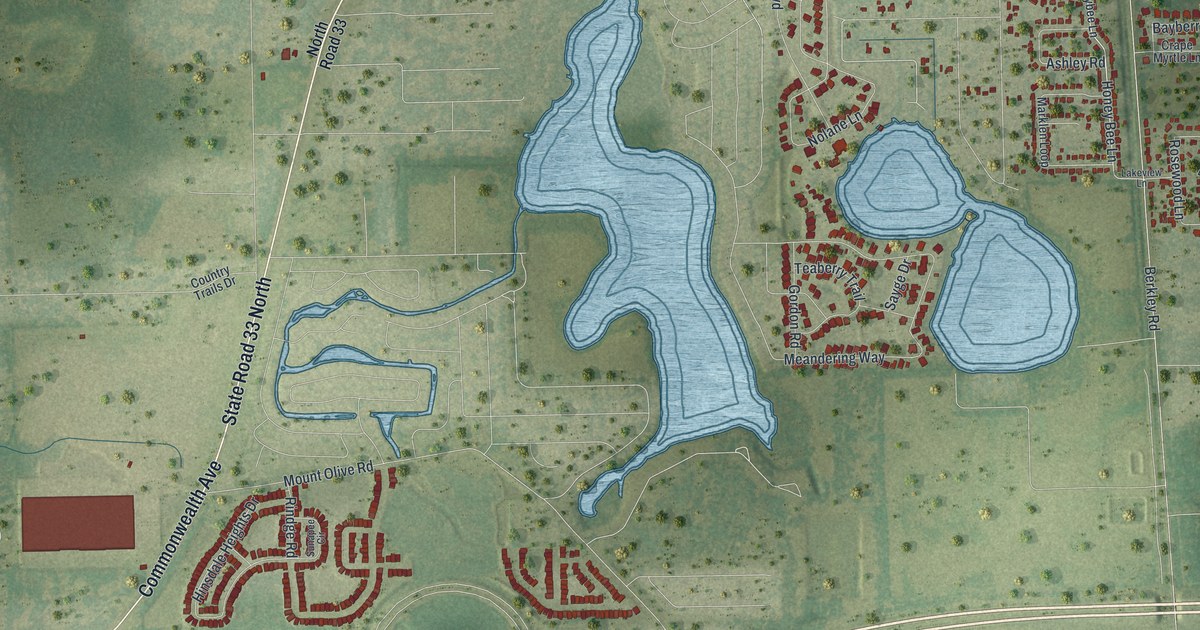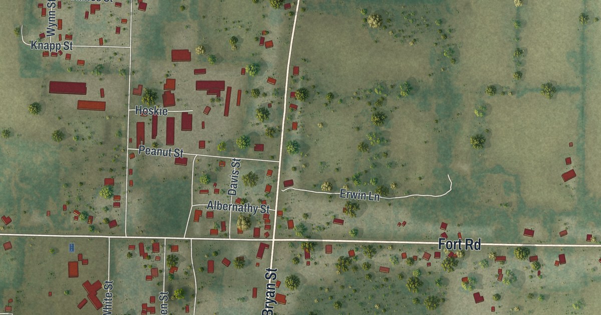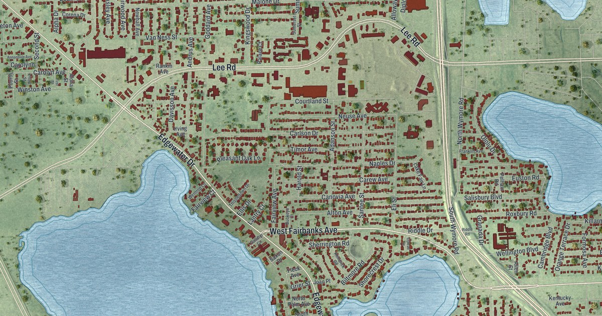
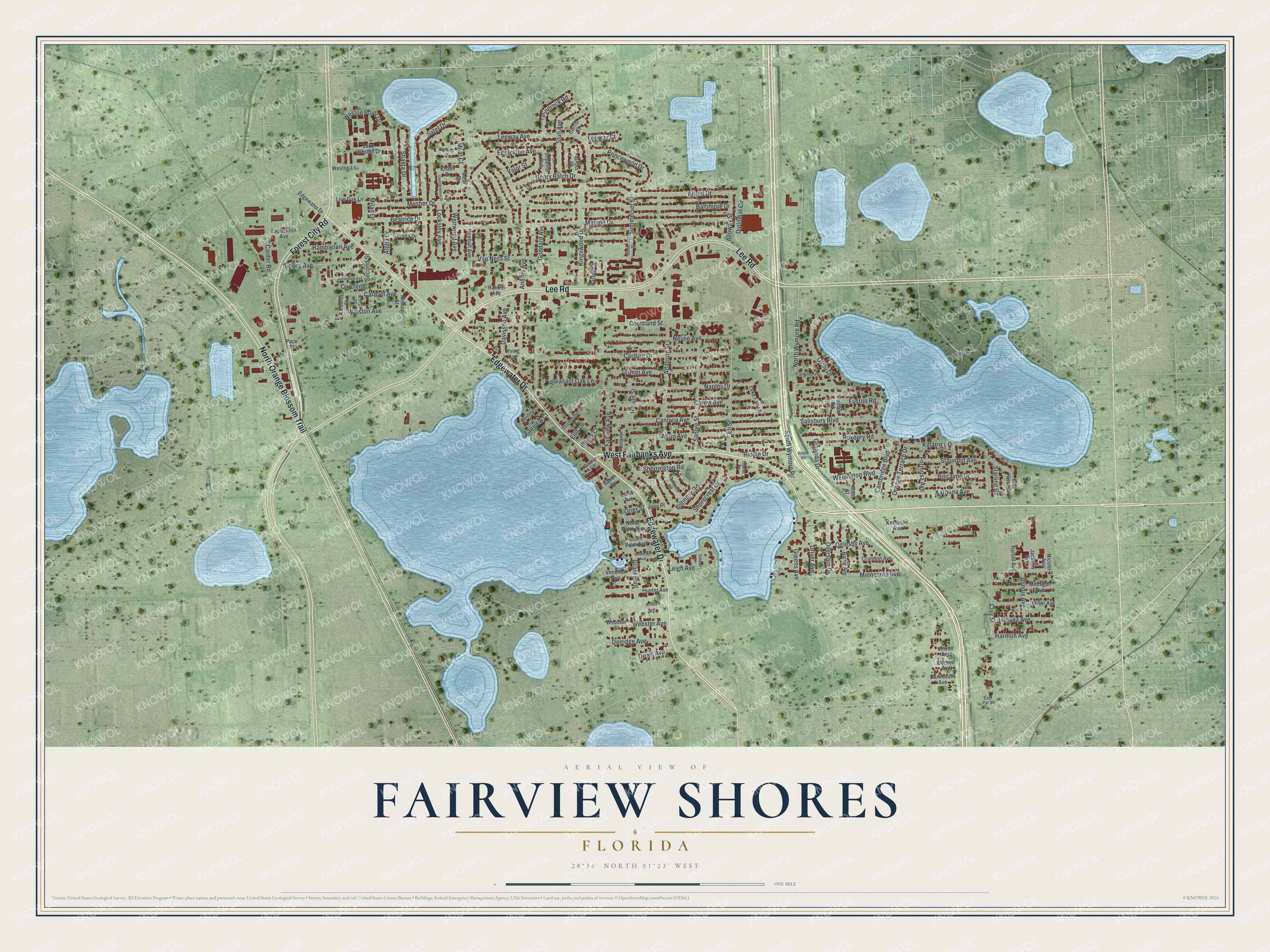
This beautifully detailed map of Fairview Shores, Florida was created in 2026 using aerial imagery combined with modern topographical, census, street and landmark data. It's a modern aerial view of Fairview Shores in Orange County, Florida, that combines modern data with a vintage aesthetic. The roads feature printed names, and if you look closely you can find your exact house accurately shown in its correct location.
Explore an aerial view of Fairview Shores, Florida
On this map you'll find West Fairbanks Avenue, Edgewater Drive, Lee Road, Forest City Road, North Orange Blossom Trail, North Wymore Road, South Wymore Road, Granada Drive, Baltimore Drive, Beatrice Drive, Adanson Street, Eggleston Avenue, and more. Each red shape is a building, so zoom in on the preview and look for yours.
Fairview Shores is a community in Orange County. The Census Bureau counted 10,722 people here in 2020. The map prints the town name in its title panel, with the coordinates below it.
Take a closer look at the Fairview Shores map
Names on this map
These names are printed on this map.
Streets and roads: West Fairbanks Avenue, Edgewater Drive, Lee Road, Forest City Road, North Orange Blossom Trail, North Wymore Road, South Wymore Road, Granada Drive, Baltimore Drive, Beatrice Drive, Adanson Street, Eggleston Avenue.
More street names, A to Z
Alfred Drive, Allen Street, Alloway Street, Aloha Street, Alpha Drive, Alton Avenue, Andrus Avenue, Annandale Avenue, Arthur Avenue, Baffie Avenue, Biltmore Road, Biscayne Drive, Blue Heron Drive, Buckeye Court, Cambridge Boulevard, Canovia Avenue, Carder Road, Carew Avenue, Carlson Drive, Carolyn Avenue, Carolynn, Carris Court, Clay Street, Conrad Court, Corena Drive, Cornell Avenue, Courtland Street, Crandon Avenue, Dartmouth Avenue, Davisson Avenue, Delridge Avenue, Diplomat Circle, Dowd Avenue, Driver Avenue, East Par Street, Eli Street, Ellis Drive, Euston Road, Exposition Avenue, Fairview Avenue, Fairview Court, First Street, Fleck Avenue, Formosa Avenue, Fourth Street, Franklin Avenue, Galliher Circle, Goddard Avenue, Grant Boulevard, Greens Avenue, Grier Street, Gross Court, Hambleton Avenue, Harmon Avenue, Harold Avenue, Harold Street, Henry Balch Drive, Highness Court, Hunter Avenue, Illinois Avenue, Imperial Avenue, Indiana Avenue, Irving Avenue, Jackson Avenue, Jewell Avenue, Joan Place, Karolina Avenue, Kendrick Road, Kentucky Avenue, Killarney Drive, Kingswood Drive, Knave Drive, Lake Fair Lane, Lake Weston Drive, Lantry Court, Leeway Avenue, Leeway Court, Leigh Avenue, Live Oak Lane, Locksley Avenue, Malone Drive, Meadows Avenue, Michigan Avenue, Milan Drive, Miller Avenue, Minnesota Avenue, Moat Court, Moat Drive, Mosher Drive, Naples Drive, Neuse Avenue, Newhall Avenue, Nicolet Avenue, North Palm Avenue, Oglesby Avenue, Ololu Drive, Orange Terrace Drive, Overspin Drive, Pace Street, Palace Court, Pelham Road, Pinerock Road, Pleasant Oak Lane, Princewood Drive, Queenswood Drive, Rankin Avenue, Riddle Drive, Riddle Road, Roxbury Road, Salisbury Boulevard, Santee Street, Satel Drive, Saxon Drive, Second Street, Shasta Drive, Sherrington Road, Shorecrest Drive, Sidney Avenue, South Palm Avenue, Starling Road, Staunton Avenue, Stull Avenue, Sumerset Street, Summerset Street, Third Street, Thistledown Drive, Timber Lane, Timor Avenue, Valor Street, Van Ness Street, Venetian Avenue, Webster Avenue, Webster Street, Weirwood Avenue, Wellington Boulevard, Wentrop Lane, Weston Lane, Weston Point Drive, Winston Avenue.
See it on a wall
The Fairview Shores map as a framed print. Swipe for more.


Created by KNOWOL in 2026. The buildings are small red shapes, the roads carry their printed names, and shaded relief shows the shape of the land. The title panel reads "AERIAL VIEW OF FAIRVIEW SHORES, FLORIDA" with 28°36' NORTH 81°23' WEST.
It suits a den, a classroom or a front hall, and it makes a gift for anyone with Fairview Shores roots. Open the preview and find the block you know. See sizes and frames for the Fairview Shores map.