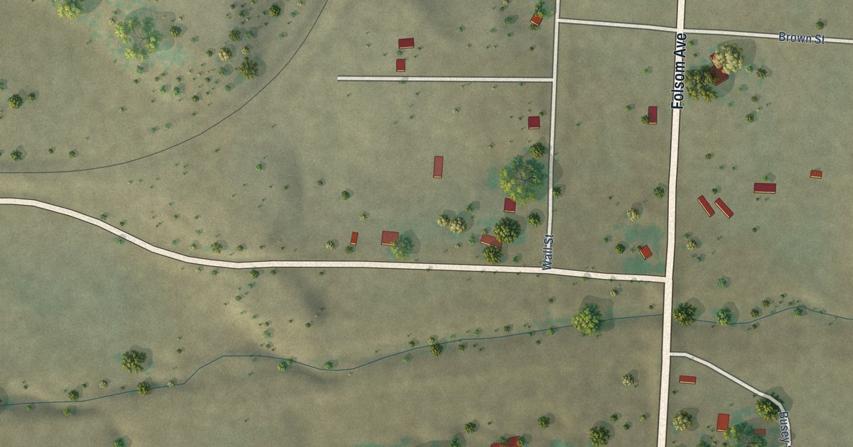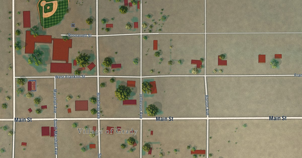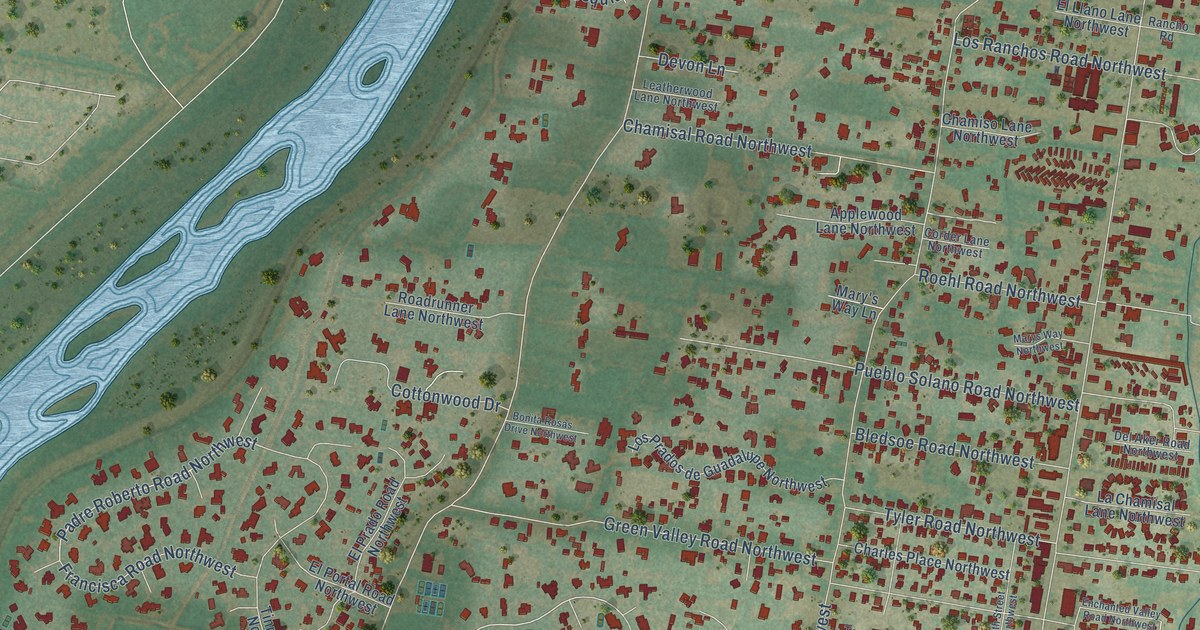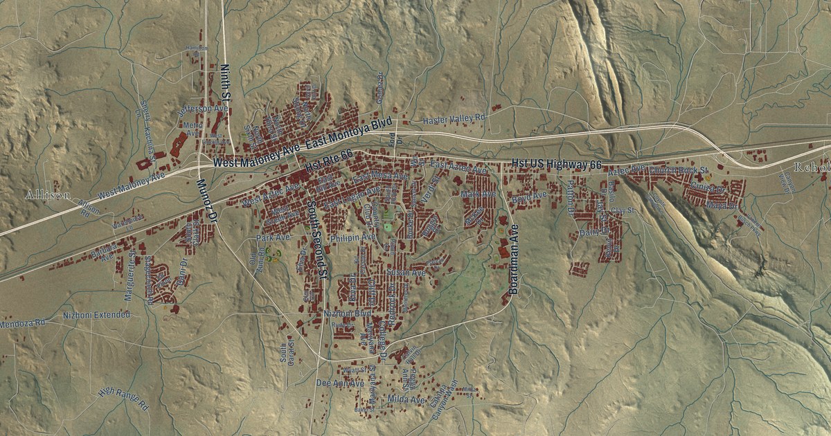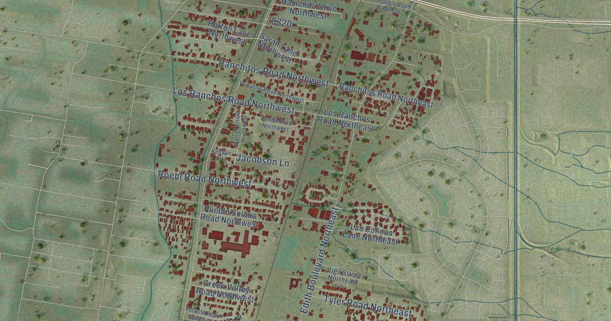
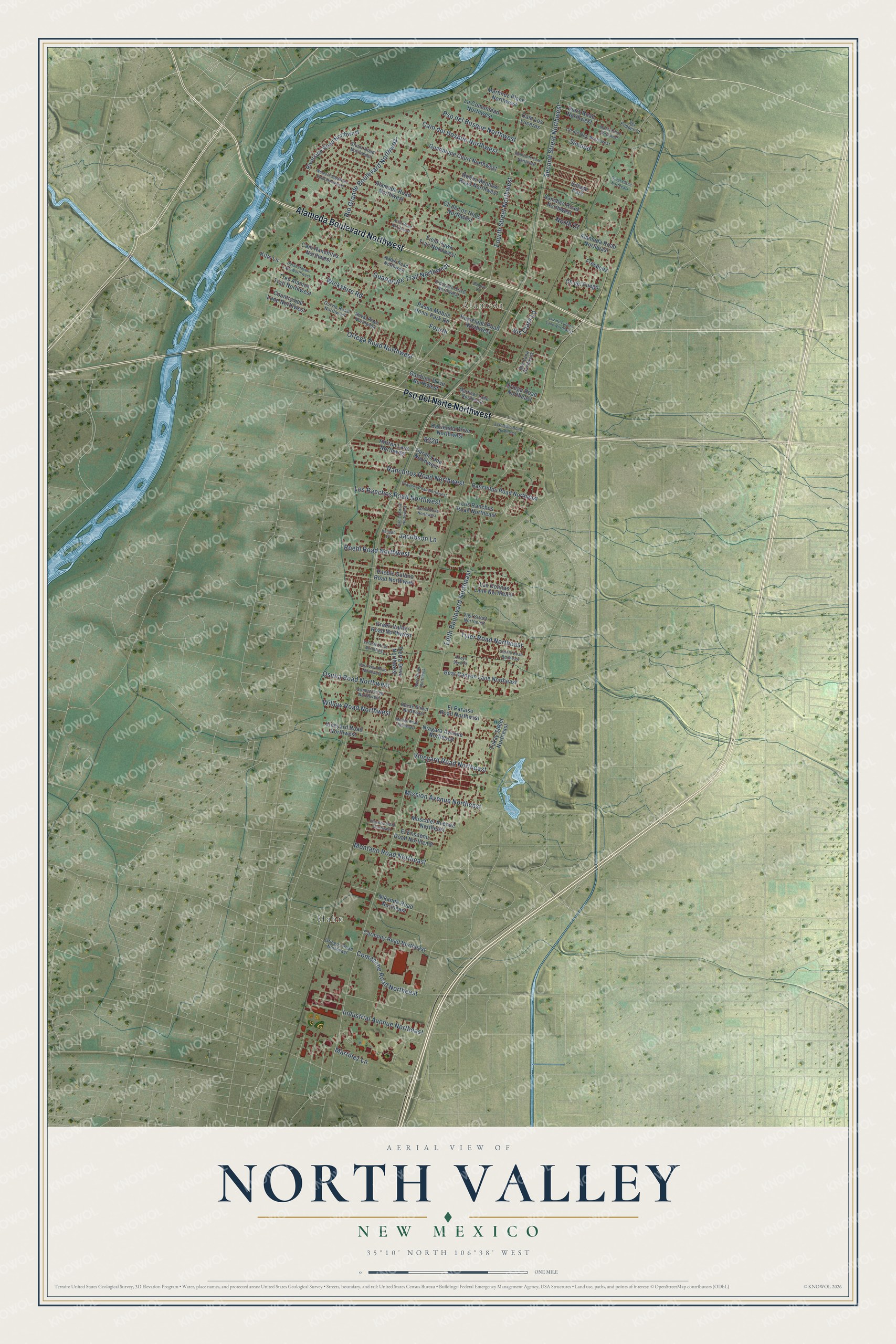
This beautifully detailed map of North Valley, New Mexico was created in 2026 using aerial imagery combined with modern topographical, census, street and landmark data. It's a modern aerial view of North Valley in Bernalillo County, New Mexico, that combines modern data with a vintage aesthetic. The roads feature printed names, and if you look closely you can find your exact house accurately shown in its correct location.
Explore an aerial view of North Valley, New Mexico
On this map you'll find Alameda, Hahn, Alameda Boulevard Northwest, Pso del Norte Northwest, Rio Grande Boulevard Northwest, Edith Boulevard Northeast, Second Street Northwest, Fourth Street Northwest, Guadalupe Trail Northwest, Ortega Road Northwest, Fourth, Cam del Bosque Northwest, and more. Each red shape is a building, so zoom in on the preview and look for yours.
North Valley is a community in Bernalillo County. The Census Bureau counted 11,149 people here in 2020. The map prints the town name in its title panel, with the coordinates below it.
Take a closer look at the North Valley map
Names on this map
These names are printed on this map.
Places: Alameda, Hahn and Village Park.
Streets and roads: Alameda Boulevard Northwest, Pso del Norte Northwest, Rio Grande Boulevard Northwest, Edith Boulevard Northeast, Second Street Northwest, Fourth Street Northwest, Guadalupe Trail Northwest, Ortega Road Northwest, Fourth, Cam del Bosque Northwest, Industrial Avenue Northeast, Ranchitos Road Northwest.
More street names, A to Z
Alameda Road Northeast, Alameda Road Northwest, Arno Street Northeast, Arroyo Seco Street, Artie Road Northwest, Bear Canyon Lane Northeast, Boe Lane Northeast, Bouton Lane, Cam Los Luceros, Cam Ranchitos Northwest, Carlito Road Northeast, Carmony Road Northeast, Cll del Fuego, Cll de Los Hijos Northwest, Cll del Rey Northwest, Comanche Road Northeast, Countryside Lane Northwest, Daniel Circle Northwest, Daniel Road Northwest, Diers Road Northwest, Eldorado Drive Northwest, El Ensueno Road Northeast, El Paraiso Road Northeast, El Pueblo Road Northeast, Field Hawk Trail Northwest, Fresquez, Garduno Drive Northwest, Gomez Drive Northwest, Great Place Northeast, Green Valley Road Northwest, Griegos Road Northeast, Guadalupe Court Northwest, Gurvle Road Northwest, Hacienda Drive Northwest, Homeland Road Northwest, Homesite Lane Northwest, Horse Haven Lane Northwest, Horton Lane Northwest, Jacobson Lane, Kenyan Place, Kitts Lane, La Comunidad Northwest, Las Colinas Lane Northeast, Los Ranchos Road Northeast, Los Ranchos Road Northwest, Luz de Lucero Lane Northwest, Maria Circle Northwest, Martinez Lane, Martinez Lane Northwest, Martinez Place Northwest, Mission Avenue Northeast, Montano Road Northeast, Mullen Road Northeast, Muscatel Avenue Northeast, Nara Visa Road Northwest, Niagara Avenue Northeast, Nikanda Road Northeast, North Court, Noval Place Northwest, Ortega Road Northeast, Osuna Road Northwest, Paseo Mobile Home Park Road, Pequeno Road Northwest, Placitas Road Northeast, Pso del Bosque Northwest, Pueblo Solano Road Northwest, Ralph Road Northwest, Ranchitos Road Northeast, Reese Street Northeast, Riverside Road Northwest, Robin Meadow Road Northwest, Roehl Road Northwest, Sanchez Road Northwest, Sarah Lane Northwest, Second, Sgt Pepper Court, Stuart Road Northwest, Tierra Drive Northwest, Tokay Street Northeast, Tres Alamos Trail Northwest, Tyler Road Northeast, Velarde Road Northwest, Vigil Street Northeast, Vineyard Road Northeast, Vineyard Road Northwest, Vis Clara Lp, Western Meadows Road Northwest, Wickshire Road, Willow Road Northwest.
See it on a wall
The North Valley map as a framed print. Swipe for more.


Created by KNOWOL in 2026. The buildings are small red shapes, the roads carry their printed names, and shaded relief shows the shape of the land. The title panel reads "AERIAL VIEW OF NORTH VALLEY, NEW MEXICO" with 35°10' NORTH 106°38' WEST.
It suits a den, a classroom or a front hall, and it makes a gift for anyone with North Valley roots. Open the preview and find the block you know. See sizes and frames for the North Valley map.