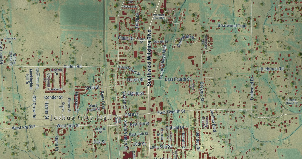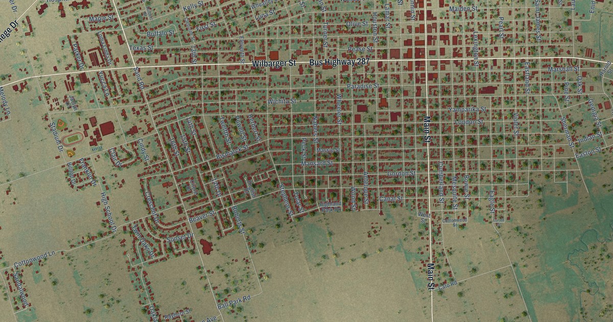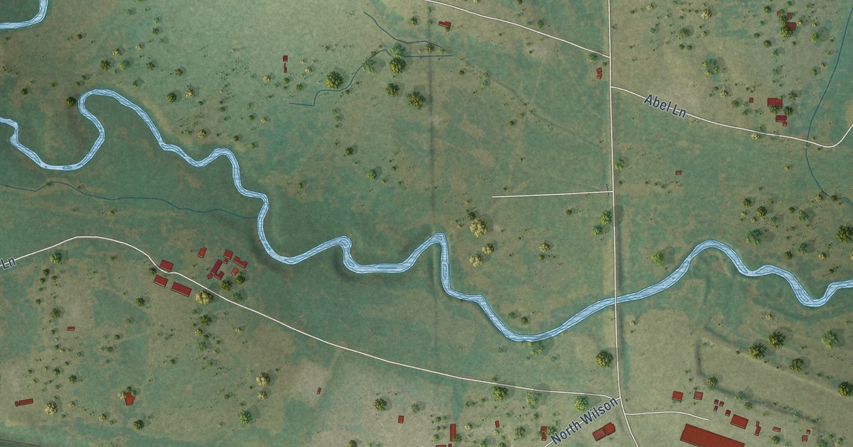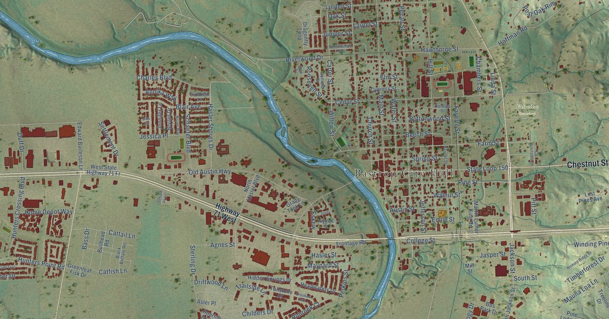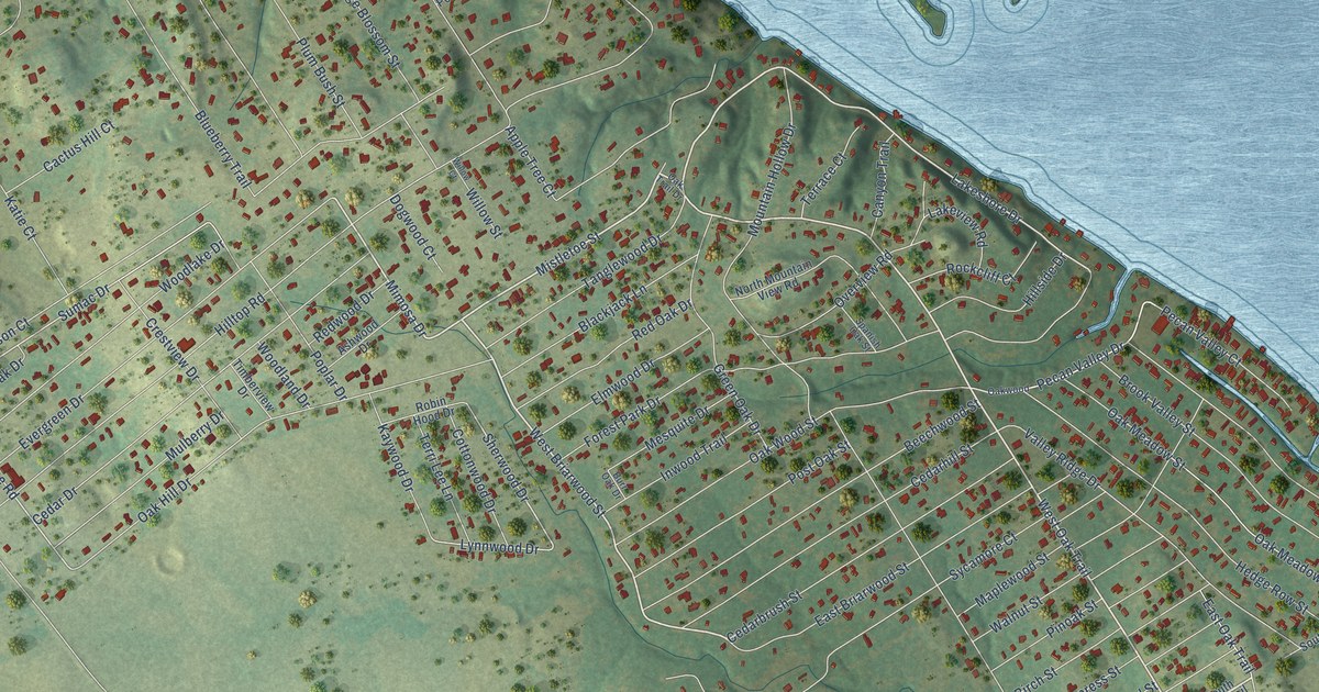
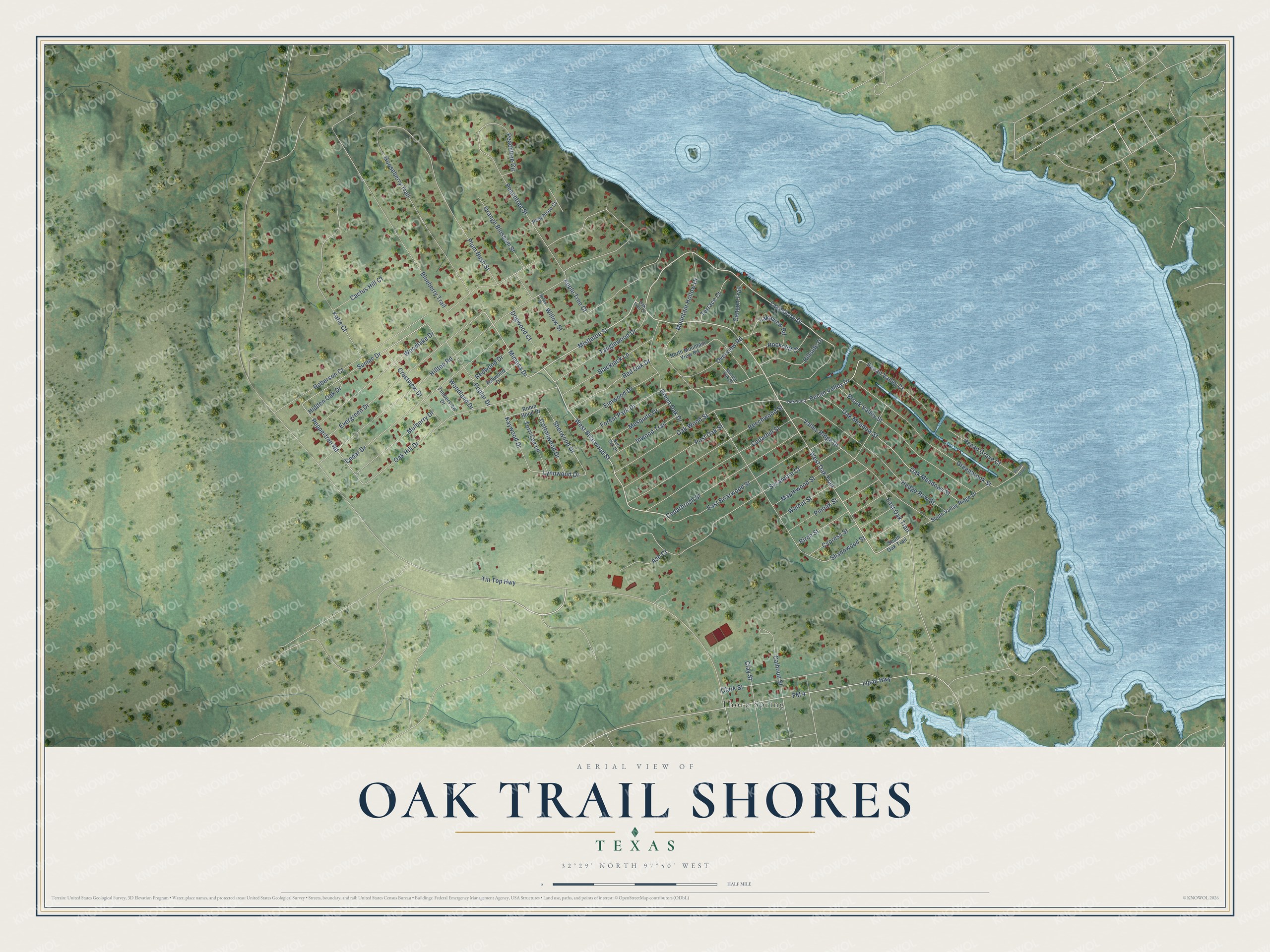
This beautifully detailed map of Oak Trail Shores, Texas was created in 2026 using aerial imagery combined with modern topographical, census, street and landmark data. It's a modern aerial view of Oak Trail Shores in Hood County, Texas, that combines modern data with a vintage aesthetic. The roads feature printed names, and if you look closely you can find your exact house accurately shown in its correct location.
Explore an aerial view of Oak Trail Shores, Texas
On this map you'll find Thorp Spring, West Oak Trail, West Briarwood Street, Mistletoe Street, Mimosa Drive, Lakeshore Drive, Pecan Valley Drive, Sherwood Drive, Lynnwood Drive, Peppertree Road, Sumac Drive, Tin Top Highway, and more. Each red shape is a building, so zoom in on the preview and look for yours.
Oak Trail Shores is a community in Hood County. The Census Bureau counted 2,979 people here in 2020. The map prints the town name in its title panel, with the coordinates below it.
Take a closer look at the Oak Trail Shores map
Names on this map
These names are printed on this map.
Places: Thorp Spring.
Streets and roads: West Oak Trail, West Briarwood Street, Mistletoe Street, Mimosa Drive, Lakeshore Drive, Pecan Valley Drive, Sherwood Drive, Lynnwood Drive, Peppertree Road, Sumac Drive, Tin Top Highway, Hilltop Road.
More street names, A to Z
Apple Tree Court, Ash Court, Ashwood Drive, Beechwood Street, Birch Street, Blackjack Lane, Blueberry Trail, Brook Valley Street, Burr Oak Drive, Cactus Hill Court, Calhoun Street, Canyon Trail, Cedarbrush Street, Cedar Drive, Cedarhill Street, Clark Street, Clay Street, Cottonwood Drive, Crestview Drive, Cypress Street, Dogwood Court, East Briarwood Street, East Oak Trail, Elmwood Drive, Evergreen Drive, FM 4, Forest Park Drive, Gooseberry Trail, Greenbrook Street, Green Oak Drive, Hedge Row Street, Hidden Oak Drive, Hillside Drive, Inwood Trail, Katie Court, Kaywood Drive, Lakeview Road, Lipan Highway, Maplewood Street, Mesquite Drive, Mountain Hollow Drive, Mulberry Drive, North Mountain View Road, Oak Hill Drive, Oak Meadows Street, Oak Meadow Street, Oak Trail Drive, Oakwood, Oak Wood Street, Orange Blossom Street, Overview Road, Peachtree Circle, Peachtree Court, Peachtree Street, Pecan Grove, Pecan Grove Court, Pecan Valley Court, Pinoak Street, Plum Bush Street, Poplar Drive, Post Oak Street, Red Oak Drive, Redwood Drive, Roberson Court, Robin Hood Drive, Rockcliff Court, Shadowood Street, South Oak Trail, South Valley Ridge Drive, Spanish Oak Street, Sycamore Court, Tanglewood Drive, Terrace Court, Terri Lee Lane, Timberview Drive, Valley Ridge Drive, Walnut Street, Willow Court, Willow Street, Woodlake Drive, Woodland Drive.
See it on a wall
The Oak Trail Shores map as a framed print. Swipe for more.


Created by KNOWOL in 2026. The buildings are small red shapes, the roads carry their printed names, and shaded relief shows the shape of the land. The title panel reads "AERIAL VIEW OF OAK TRAIL SHORES, TEXAS" with 32°29' NORTH 97°50' WEST.
It looks right in a kitchen, an office or a den, and it's a gift for anyone who grew up in Oak Trail Shores or moved away. Open the preview and find your street. See sizes and frames for the Oak Trail Shores map.