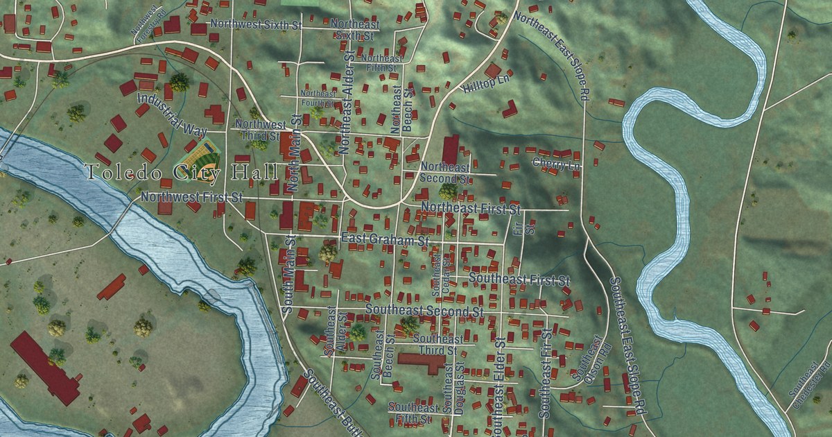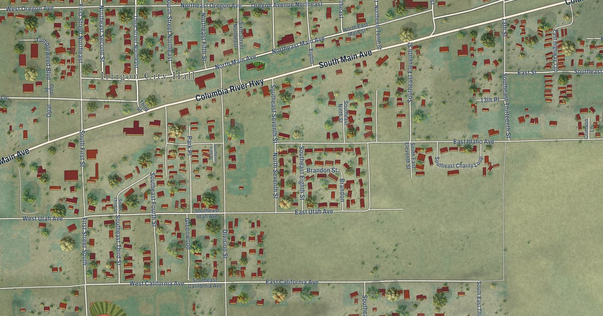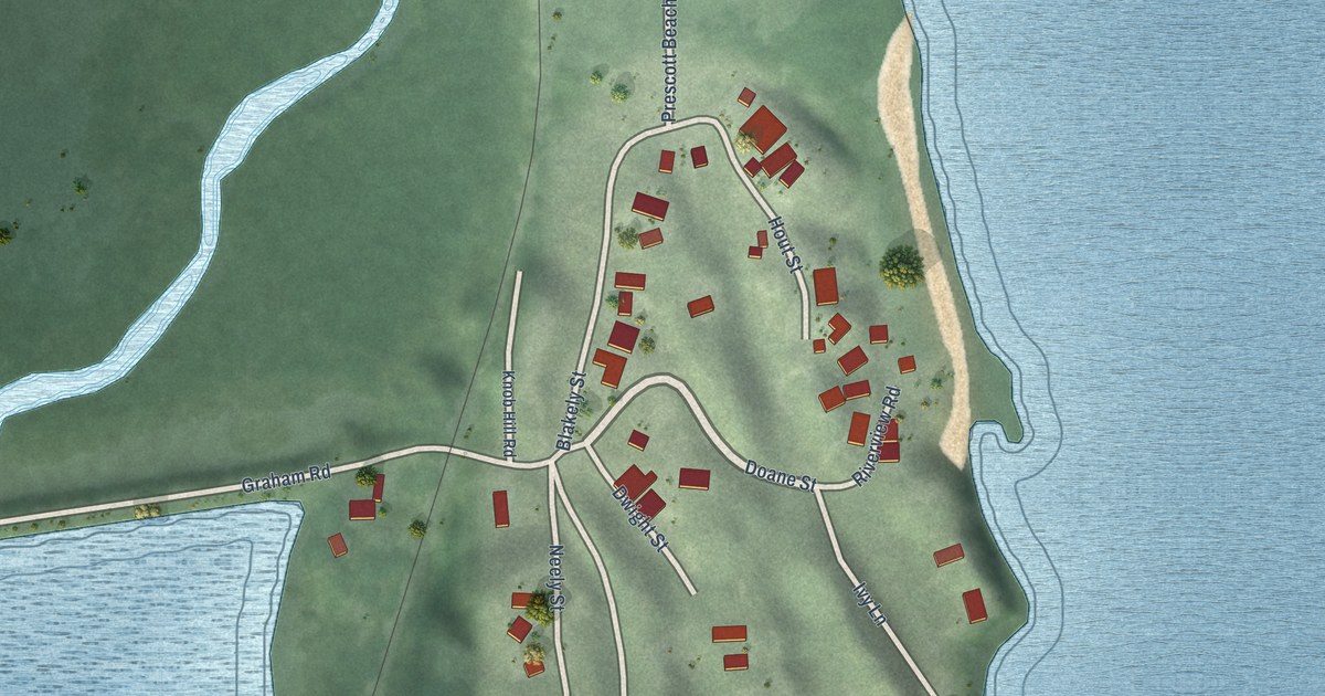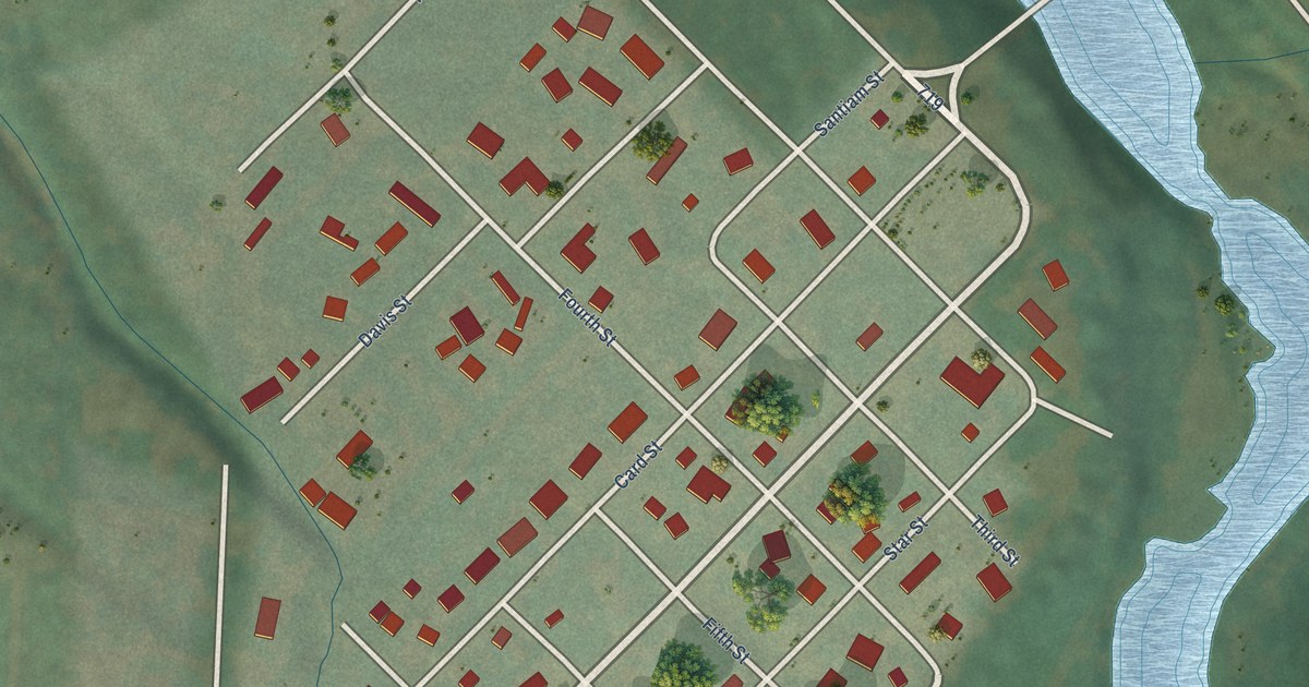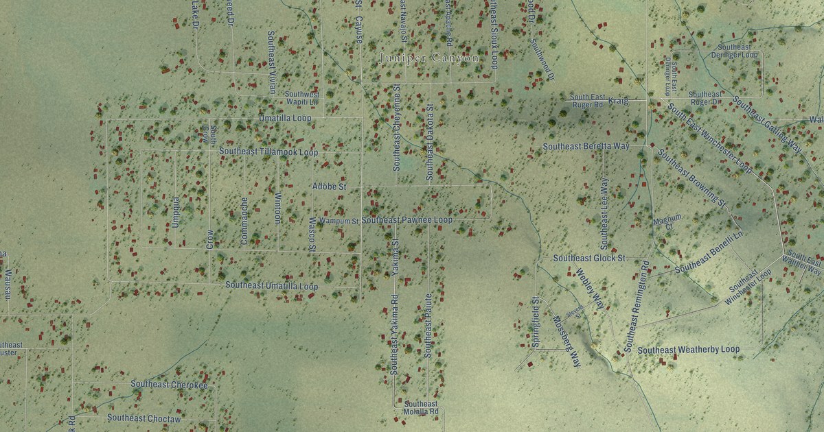
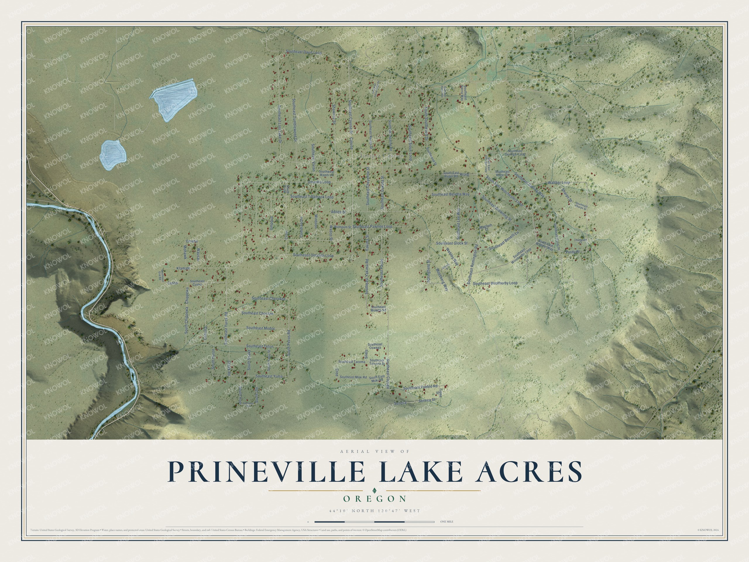
This beautifully detailed map of Prineville Lake Acres, Oregon was created in 2026 using aerial imagery combined with modern topographical, census, street and landmark data. It's a modern aerial view of Prineville Lake Acres in Crook County, Oregon, that combines modern data with a vintage aesthetic. The roads feature printed names, and if you look closely you can find your exact house accurately shown in its correct location.
Explore an aerial view of Prineville Lake Acres, Oregon
On this map you'll find Juniper Canyon, South East Winchester Loop, Southeast Cayuga, Southeast Pueblo Road, Yakima Street, Seneca Street, Umatilla Loop, Walther Loop, Cree, Southeast Yakima Road, Shawnee Street, Crow, and more. Each red shape is a building, so zoom in on the preview and look for yours.
Prineville Lake Acres is a community in Crook County. The Census Bureau counted 1,556 people here in 2020. The map prints the town name in its title panel, with the coordinates below it.
Take a closer look at the Prineville Lake Acres map
Names on this map
These names are printed on this map.
Places: Juniper Canyon.
Streets and roads: South East Winchester Loop, Southeast Cayuga, Southeast Pueblo Road, Yakima Street, Seneca Street, Umatilla Loop, Walther Loop, Cree, Southeast Yakima Road, Shawnee Street, Crow, Siletz.
More street names, A to Z
Adobe Street, Cahvilla, Cayuse, Chippewa, Commanche, Creek Road, Custer, Klamath, Kraig, Magnum Court, Mohawk, Mossberg Way, Omaha, Purdy Place, Seneca, Sharps Street, South Chippewa, South Crow, Southeast Apache Road, Southeast Benelli Lane, Southeast Beretta Way, Southeast Browning Street, Southeast Cayuse Street, Southeast Cherokee, Southeast Cheyenne Street, Southeast Choctaw, Southeast Custer, Southeast Dakota Street, Southeast Davis Loop, Southeast Deringer Loop, South East Deringer Loop, Southeast Erie Road, Southeast Falcon Ridge Road, Southeast Gatling Way, Southeast Glock Street, Southeast Hagen Way, Southeast Lee Way, Southeast Lost Lake Drive, Southeast Modoc, Southeast Moki Road, South East Moki Road, Southeast Molalla Road, Southeast Navajo Street, Southeast Oswego, Southeast Paiute, Southeast Pawnee Loop, Southeast Purdy Place, Southeast Remington Road, Southeast Ruger Drive, South East Ruger Road, Southeast Sharps Street, Southeast Sierra Way, Southeast Sioux Loop, Southeast Tacoma, Southeast Tacoma Street, Southeast Teton, Southeast Tillamook Loop, Southeast Tumbleweed Drive, Southeast Umatilla Loop, Southeast Vivian, South East Walther Way, Southeast Weatherby Loop, Southeast Winchester Loop, Southeast Yuma, Southeast Yurok Road, Southeast Zuni, South Hopi, South Huron, South Pecos Road, South Snake, South Southwood Drive, South Ute, Southwest Wapiti Lane, Southwood Drive, South Yaqui Street, Springfield Street, Stevens Street, Tepee Street, Thompson Court, Umpqua, Wampum Street, Wasco Street, Wausau, Webley Way, Wintoon.
See it on a wall
The Prineville Lake Acres map as a framed print. Swipe for more.


Created by KNOWOL in 2026. The buildings are small red shapes, the roads carry their printed names, and shaded relief shows the shape of the land. The title panel reads "AERIAL VIEW OF PRINEVILLE LAKE ACRES, OREGON" with 44°10' NORTH 120°47' WEST.
It suits a den, a classroom or a front hall, and it makes a gift for anyone with Prineville Lake Acres roots. Open the preview and find the block you know. See sizes and frames for the Prineville Lake Acres map.