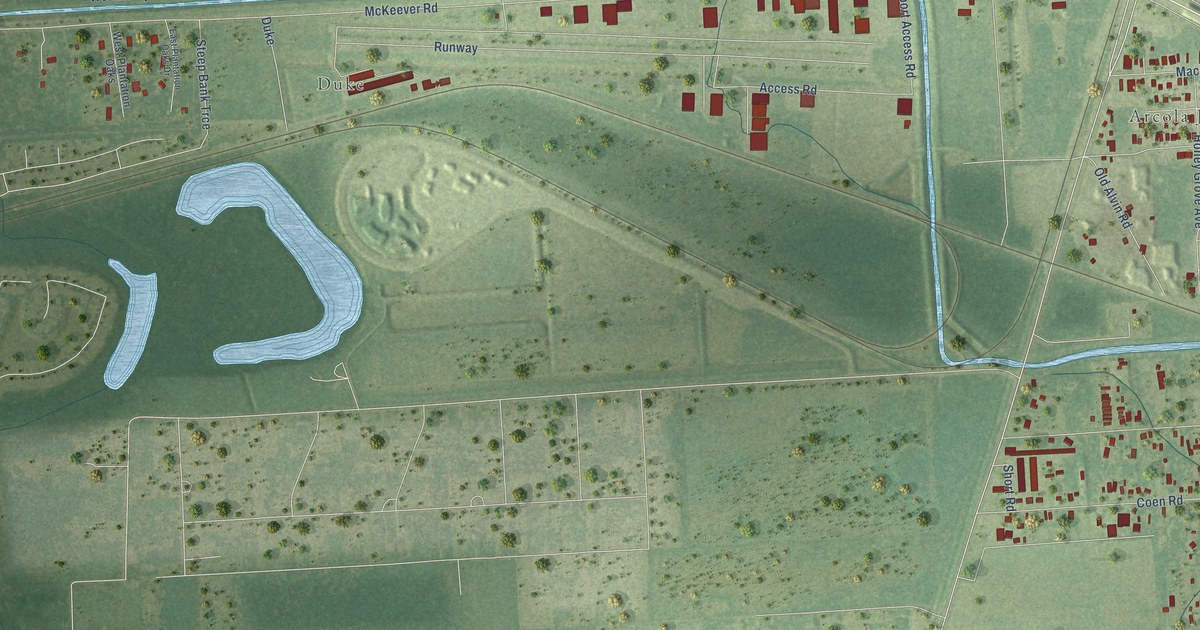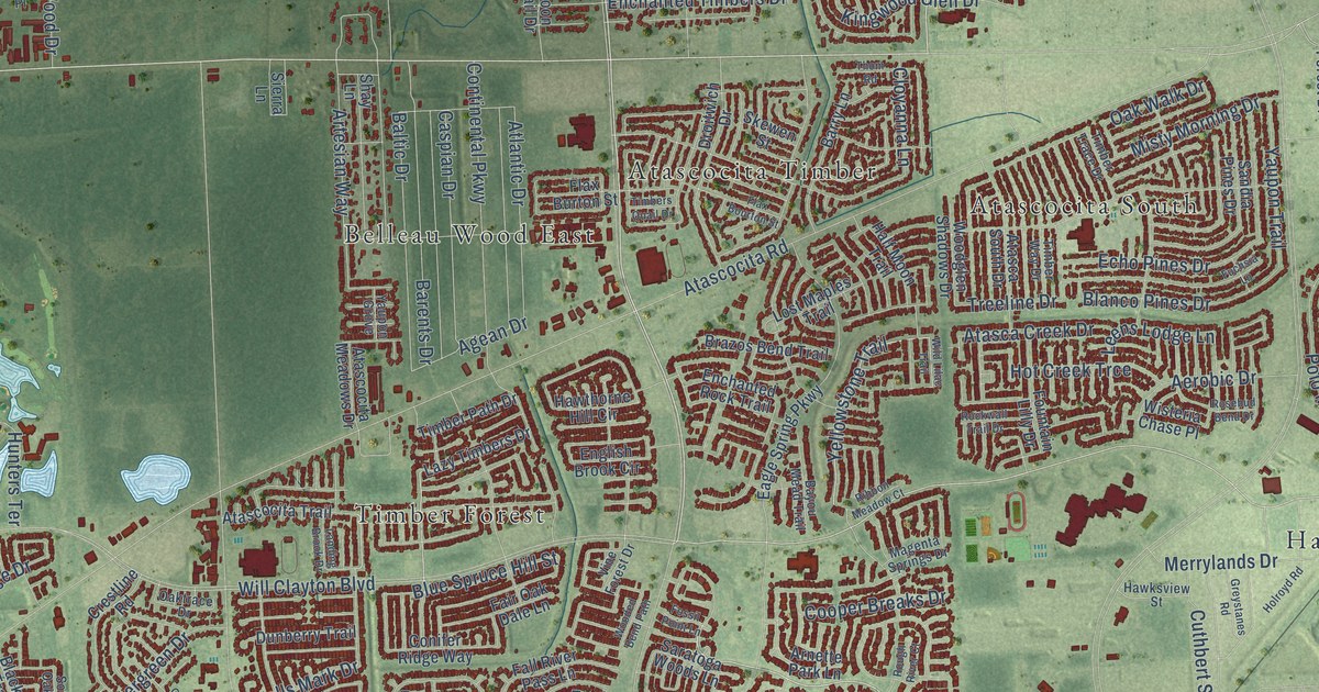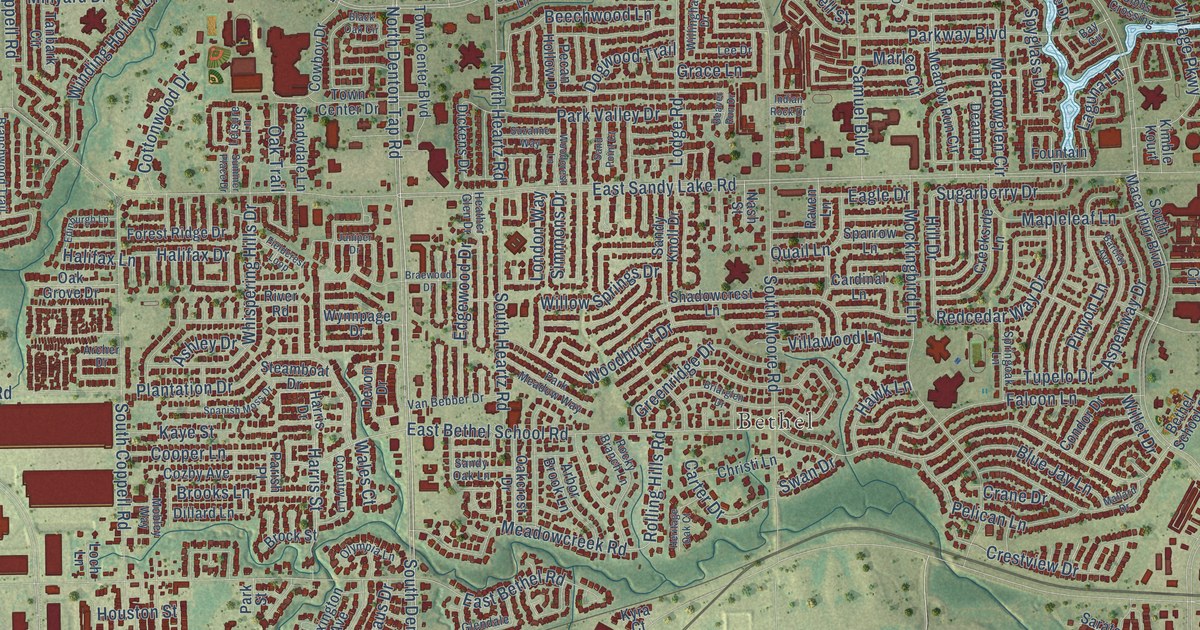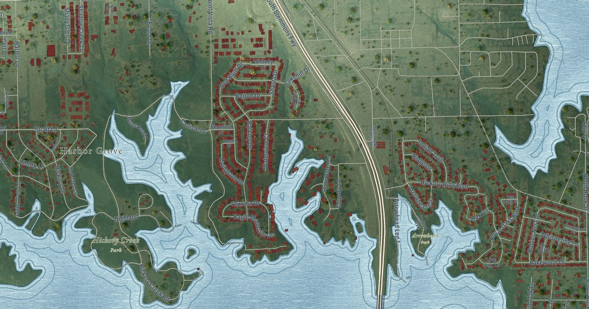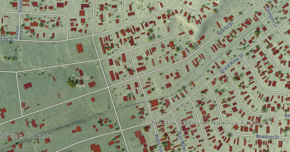
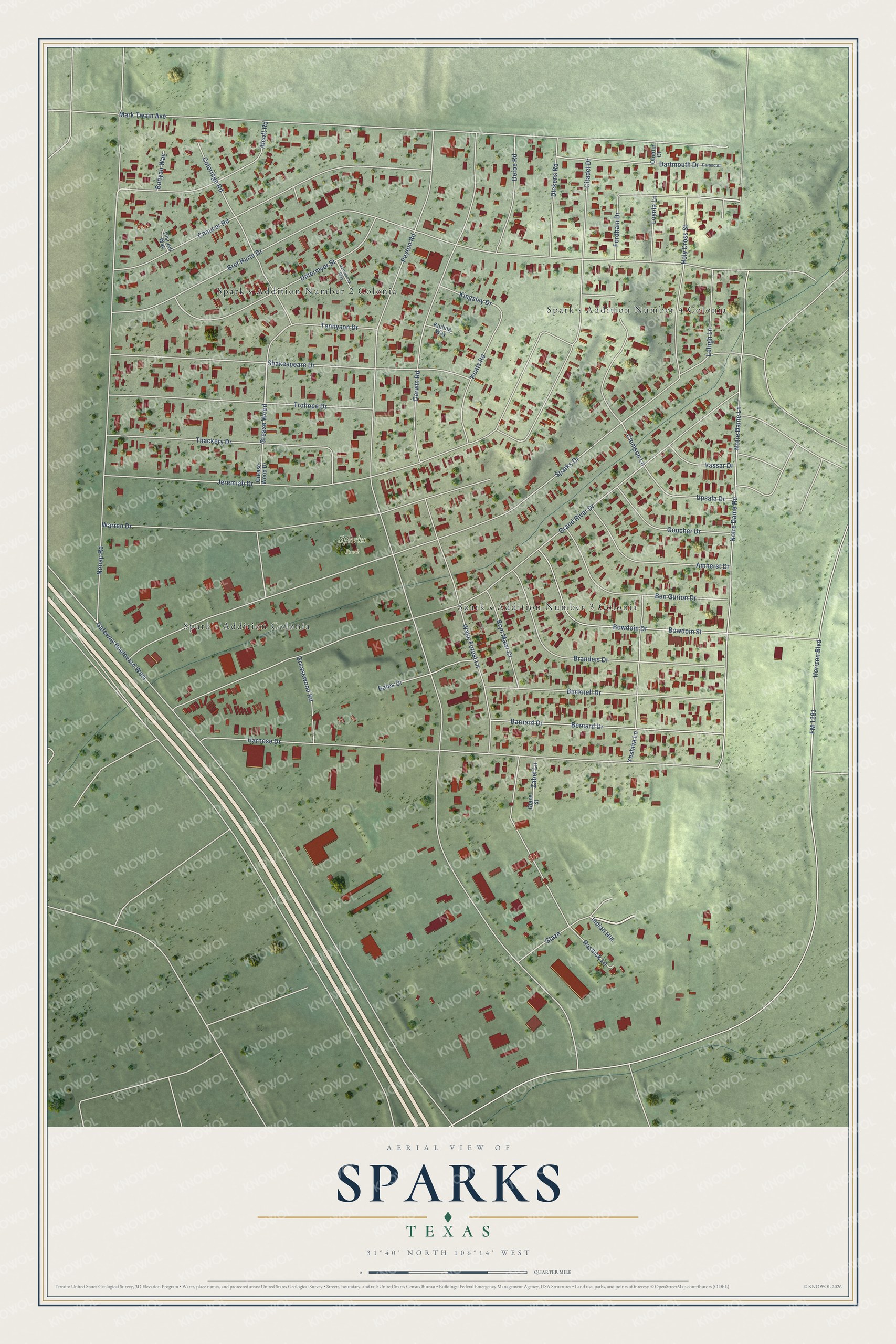
This beautifully detailed map of Sparks, Texas was created in 2026 using aerial imagery combined with modern topographical, census, street and landmark data. It's a modern aerial view of Sparks in El Paso County, Texas, that combines modern data with a vintage aesthetic. The roads feature printed names, and if you look closely you can find your exact house accurately shown in its correct location.
Explore an aerial view of Sparks, Texas
On this map you'll find Sparks Park, Spark's Addition Number 4 Colonia, Spark's Addition Number 2 Colonia, Spark's Addition Colonia, Spark's Addition Number 3 Colonia, Fordham Drive, Glaze, Zabel Lane, Grease Wood, Peyton Road, FM 1281, Horizon Boulevard, and more. Each red shape is a building, so zoom in on the preview and look for yours.
Sparks is a community in El Paso County. The Census Bureau counted 4,760 people here in 2020. The map prints the town name in its title panel, with the coordinates below it.
Take a closer look at the Sparks map
Names on this map
These names are printed on this map.
Places: Sparks Park, Spark's Addition Number 4 Colonia, Spark's Addition Number 2 Colonia, Spark's Addition Colonia and Spark's Addition Number 3 Colonia.
Streets and roads: Fordham Drive, Glaze, Zabel Lane, Grease Wood, Peyton Road, FM 1281, Horizon Boulevard, Sparks Drive, Bret Harte Drive, Grand River Drive, Gateway Boulevard West, Mark Twain Avenue.
More street names, A to Z
Alcott Road, Amherst Drive, Bales Drive, Barnard Drive, Ben Gurion Drive, Bernard Drive, Bowdoin Drive, Bowdoin Street, Brandeis Drive, Bryn Mawr Court, Bucknell Drive, Bunyan Way, Chaucer Road, Citadel Drive, Clemson Lane, Coleridge Road, Dartmouth, Dartmouth Drive, Darwin Road, Defoe Road, Dickens Road, Disraeli Way, Galsworthy Way, Glaze Street, Goucher Drive, Grease Wood Drive, Greasewood Road, Harnose Drive, Holy Cross Street, Indian Hill, Jeremiah Drive, Keats Road, Kingsley Drive, Kipling Way, Lehigh Lane, Loyola Lane, Nonap Road, Notre Dame Lane, Notre Dame Road, Oberlin Court, Rasnick Lane, Shakespeare Drive, Tennyson Drive, Thackery Drive, Trollope Drive, Untermyer Street, Upsala Drive, Vassar Drive, Wake Forest Lane, Warren Drive, Yeshiva Lane.
See it on a wall
The Sparks map as a framed print. Swipe for more.


Created by KNOWOL in 2026. The buildings are small red shapes, the roads carry their printed names, and shaded relief shows the shape of the land. The title panel reads "AERIAL VIEW OF SPARKS, TEXAS" with 31°40' NORTH 106°14' WEST.
It suits a den, a classroom or a front hall, and it makes a gift for anyone with Sparks roots. Open the preview and find the block you know. See sizes and frames for the Sparks map.