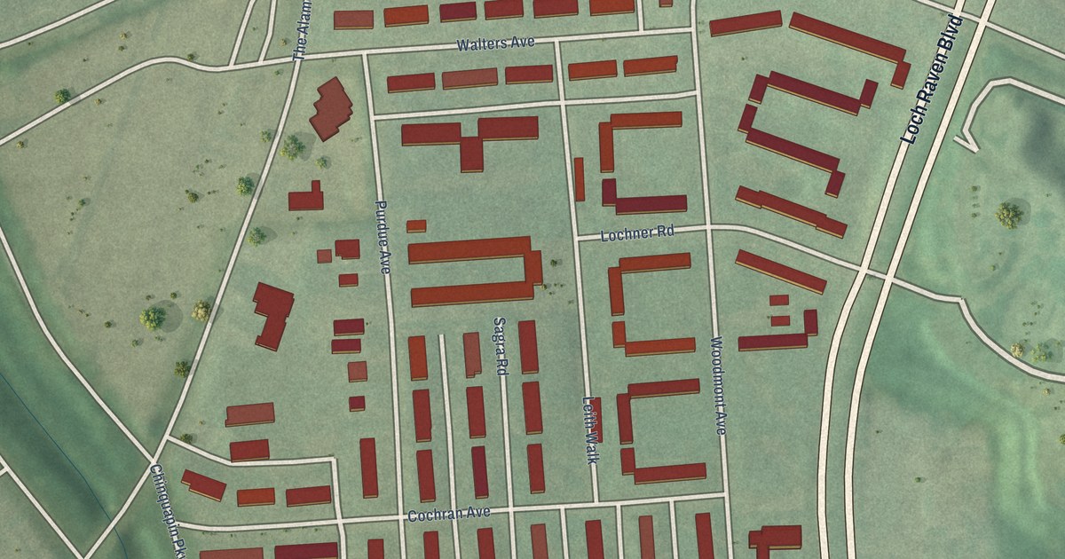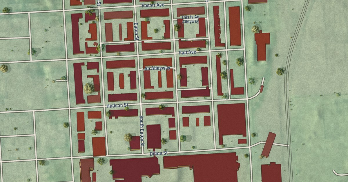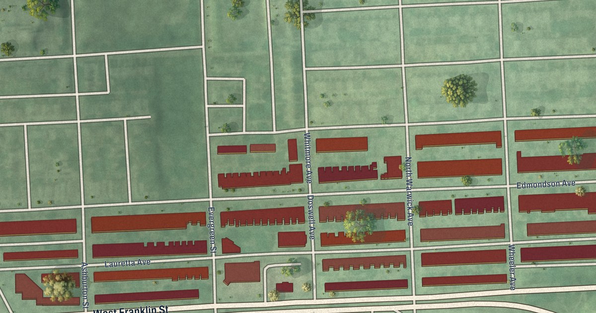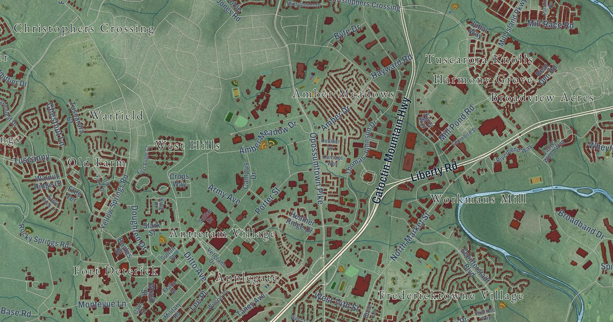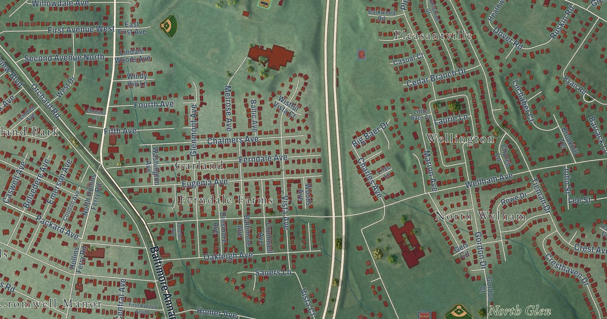
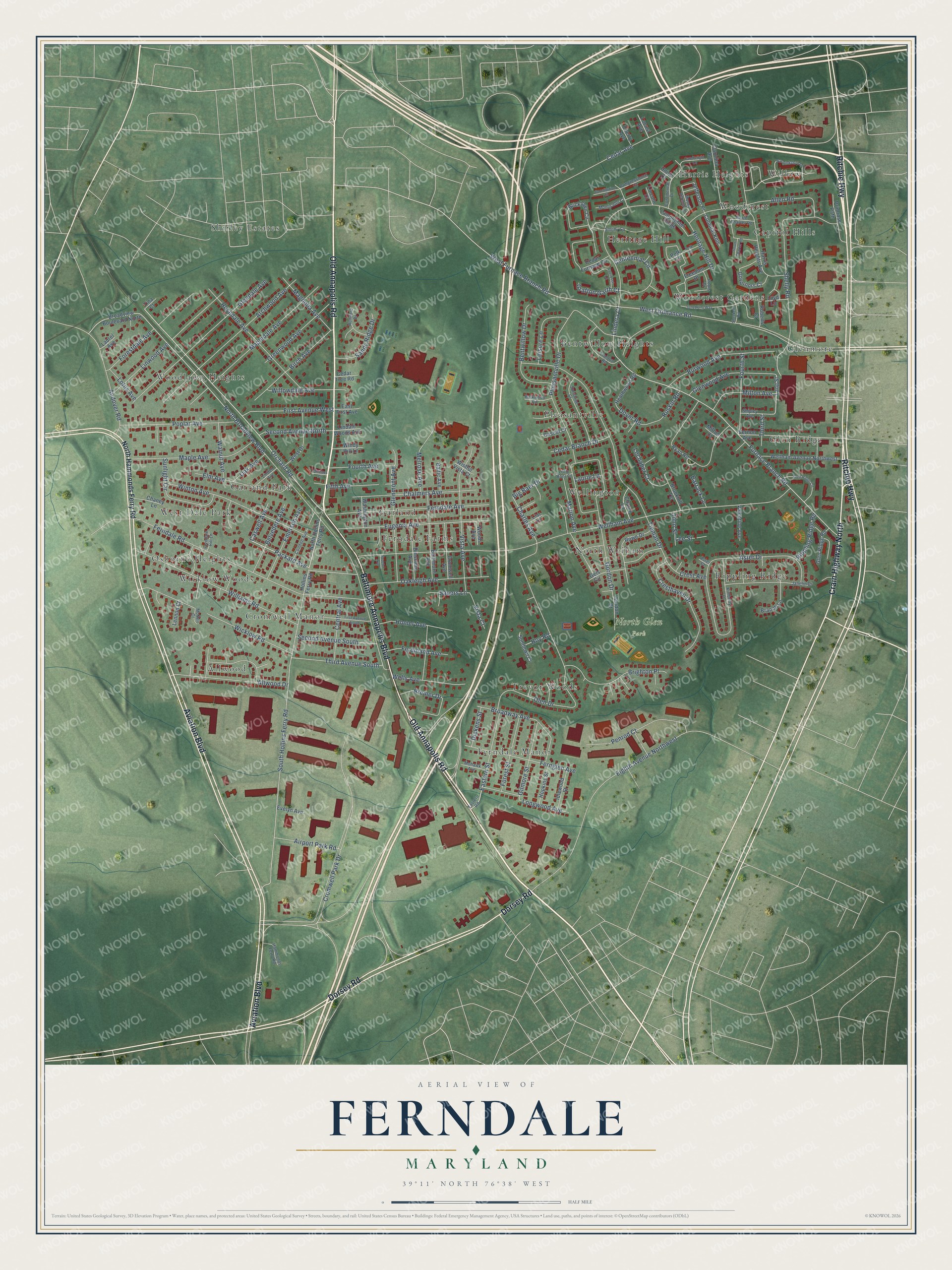
This beautifully detailed map of Ferndale, Maryland was created in 2026 using aerial imagery combined with modern topographical, census, street and landmark data. It's a modern aerial view of Ferndale in Anne Arundel County, Maryland, that combines modern data with a vintage aesthetic. The roads feature printed names, and if you look closely you can find your exact house accurately shown in its correct location.
Explore an aerial view of Ferndale, Maryland
On this map you'll find North Glen Park, Willow, Allwood, Shirley Estates, Glen Ridge, Garland Park, Ferndale Manor, Heritage Hill, Pleasantville, Rippling Ridge, Glenmore, Cromwell Manor, and more. Each red shape is a building, so zoom in on the preview and look for yours.
Here is a piece of Ferndale history, in the words of the record. The Historical Marker Database puts it this way: "Railroads have long been part of Ferndale's history. The WB&A Railroad steamed through the neighborhood from 1888 to 1950, carrying as many as 1,750,000 passengers a year."
Ferndale is a community in Anne Arundel County. The Census Bureau counted 17,091 people here in 2020.
Take a closer look at the Ferndale map
Names on this map
These names are printed on this map.
Places: North Glen Park, Willow, Allwood, Shirley Estates, Glen Ridge, Garland Park, Ferndale Manor, Heritage Hill, Pleasantville, Rippling Ridge, Glenmore, Cromwell Manor, Ferndale Farms, Woodlawn Heights, Osborne Heights, Trevor Woods, Wellington, Bentwillow Heights, Capitol Hills, West Dale Park, Wicklow Woods, North Welham, Woodcrest Gardens, Harris Heights, Woodcrest and Garland.
Streets and roads: Baltimore Annapolis Boulevard, Crain Highway North, Old Annapolis Road, Aviation Boulevard, Ritchie Highway, Dorsey Road, Packard Avenue, Orchard Road, Lindera Court, West Ordnance Road, South Hollins Ferry Road, Charles Avenue.
More street names, A to Z
Airport Park Road, Allen Road, Allwood Drive, Andover Road, Archwood Avenue, Aster Court, Aster Drive, Baltic Avenue, Baltimore Avenue, Barkwood Road, Barrack Lane, Belvedere Avenue, Bentwillow Drive, Big Baer Drive, Birch Avenue, Branch Lane, Bremer Drive, Bricktown Circle, Brighton Place, Broadview Boulevard North, Broadway Avenue, Brookhill Terrace, Burwood Avenue, Candlelight Lane, Carolina Avenue, Casual Court, Caswell Avenue, Cedar Avenue, Cedar Branch Drive, Cedar Furnace Circle, Cedar Tree Road, Centennial Circle, Central Avenue, Chalmers Avenue, Chaney Lane, Cherry Avenue, Christos Court, Church Lane, Colonial Knls, Condon Avenue, Congressional Court, Constitution Court, Continental Drive, Crest Avenue, Cresthaven Drive, Cromwell Avenue, Cromwell Park Drive, Dickens Street, Dinsmore Avenue, Dover Road, Eastern Road, Eastern Street, East First Avenue, Eighth Avenue Northwest, Elm Avenue, Emerson Avenue, Eugenia Avenue, Evelyn Avenue, Ferdinand Avenue, Ferndale Avenue, Ferndale Hill Lane, Ferndale Road, Fernglen Avenue, Fifth Avenue, First Avenue South, First Avenue West, Forestdale Avenue, Forest Street, Fourth Avenue, Fourth Street, Freedom Drive, Furnace Branch Road, Geis Circle, Gilmore Street, Glendale Avenue, Glenmont Avenue, Glen Ridge Circle, Glen Ridge Road, Glenwood Avenue, Gordon Court, Gordon Drive, Governors Court, Grafton Garth Court, Greenwood Avenue, Hammonds Ferry Road, Harris Heights Avenue, Heathwood Road, Heritage Hill Drive, Hollins Ferry Road, Homer Avenue, Hopkins Street, Hoy Road, Idlewood Street, Janelin Drive, Jefferson Place, John Street, Juneberry Way, Kimberly Lane, Lacrosse Lane, Lamplighter Ridge, Lang Street, Laurel Avenue, Laurie Lane, Lee Street, Leisure Lane, Lennon Court, Lilac Lane, Lincoln Court, Lindale Woods Avenue, Linden Avenue, Linwood Avenue, Little Baer Court, Lochaber Court, Locust Avenue, Longwood Avenue, Lotus Avenue, Loyd Lane, Magnolia Avenue, Maple Avenue, Mapledale Avenue, Marion Avenue, McNeil Court, Melrose Avenue, Milton Avenue, Milton Court, Mohawk Avenue, Monticello Court, Mount Vernon Lane, North Broadview Boulevard, North Charter Road, North Hammonds Ferry Road, North Hollins Ferry Road, Oak Avenue, Oakleigh Avenue, Olen Drive, Penrod Court, Pleasantville Drive, Polk Circle, Polk Drive, Poplar Avenue, Primrose Path, Proctor Avenue, Rippling Ridge Road, Roberts Court, Roots Drive, Rosedale Avenue, Rowe Drive, Rumford Drive, Ruskin Road, Ryan Road, Sandy Ridge Drive, Sauers Lane, Second Avenue North, Second Avenue South, Sheckells Road, Shelly Road, Shipley Avenue, Smithy Square, South Charter Road, Sundown Court, Sunlight Circle, Sunshine Street, Third Avenue South, Third Street, Tieman Drive, Tina Court, Tranton Road, Union Court, Valentine Avenue, Vernon Avenue, Vista Avenue, Vista Court, Walnut Avenue, Warwickshire Lane, Washington Avenue, Wellham Avenue, Wellham Avenue Northwest, Wells Avenue, West Drive, West Furnace Branch Road, Wicklow Road, Williams Road, Willowdale Avenue, Windy Hill Lane, Winton Avenue, Wistful Vista Court, Woods Avenue.
See it on a wall
The Ferndale map as a framed print. Swipe for more.


Created by KNOWOL in 2026. The buildings are small red shapes, the roads carry their printed names, and shaded relief shows the shape of the land. The title panel reads "AERIAL VIEW OF FERNDALE, MARYLAND" with 39°11' NORTH 76°38' WEST.
It suits a den, a classroom or a front hall, and it makes a gift for anyone with Ferndale roots. Open the preview and find the block you know. See sizes and frames for the Ferndale map.