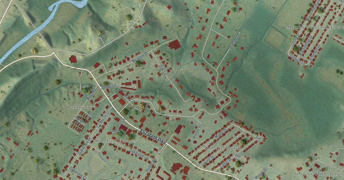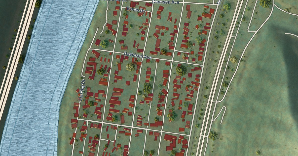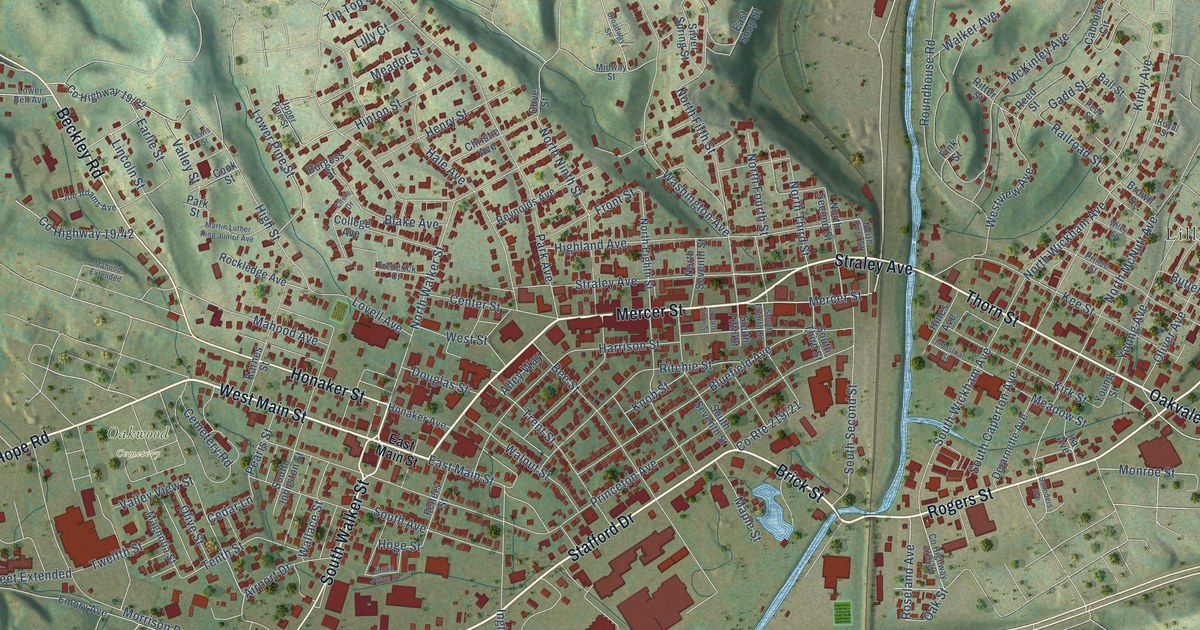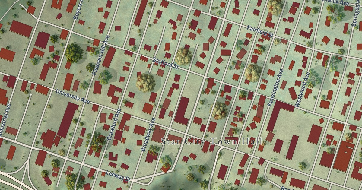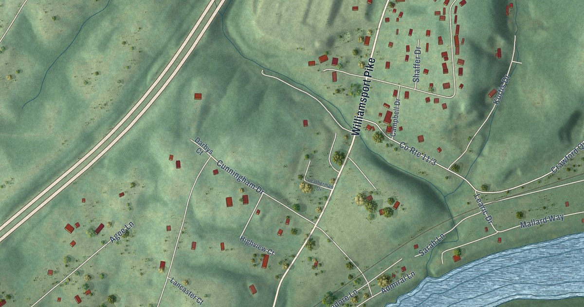
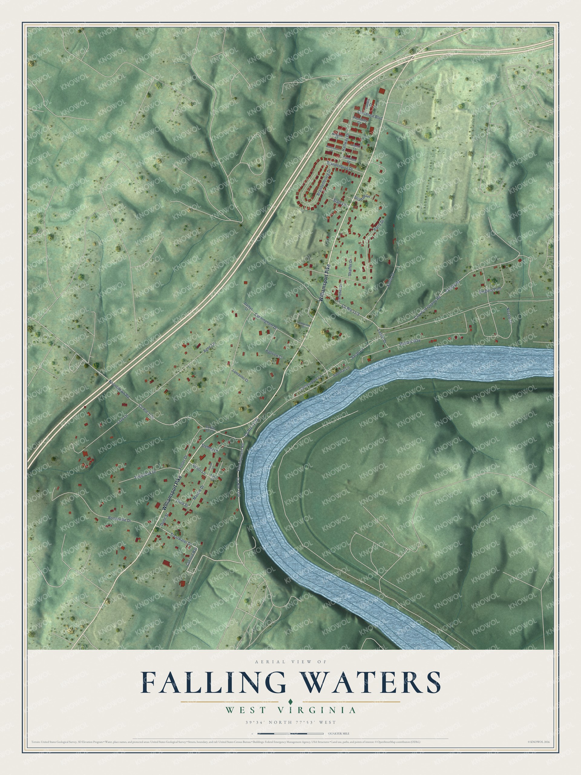
This beautifully detailed map of Falling Waters, West Virginia was created in 2026 using aerial imagery combined with modern topographical, census, street and landmark data. It's a modern aerial view of Falling Waters in Berkeley County, West Virginia, that combines modern data with a vintage aesthetic. The roads feature printed names, and if you look closely you can find your exact house accurately shown in its correct location.
Explore an aerial view of Falling Waters, West Virginia
On this map you'll find Williamsport Pike, Encampment Road, Treatwater Drive, Cunningham Drive, County Road, Vision Lane, Crawford Quarry Road, Mallard Way, Bonneville Drive, Nozzle Drive, Koontztown Road, Admiral Lane, and more. Each red shape is a building, so zoom in on the preview and look for yours.
Falling Waters has a story worth telling. The e-WV puts it this way: "Presbyterians established three churches at an early date, including one at Falling Waters about 1730, one at Tuscarora in the 1740s, and the third at what is now Tomahawk by 1770."
Falling Waters is a community in Berkeley County. The Census Bureau counted 1,440 people here in 2020.
Take a closer look at the Falling Waters map
Names on this map
These names are printed on this map.
Streets and roads: Williamsport Pike, Encampment Road, Treatwater Drive, Cunningham Drive, County Road, Vision Lane, Crawford Quarry Road, Mallard Way, Bonneville Drive, Nozzle Drive, Koontztown Road, Admiral Lane.
More street names, A to Z
Agee Lane, Brandenbourg Drive, Brandenburg Drive, Campbell Drive, Caniford Way, Commodore Lane, Corperate Boulevard, Council Court, Darbys Court, Dubose Lane, Dunmore Court, Dunn Street, First Street, Foster Drive, Halfway Drive, Highview Court, Kurtis Drive, Lancaster Court, Landis Court, Lazy Lane, Learic Drive, Leatherman Drive, Massie Drive, Newgate Court, Parry Drive, Piccadilly Court, Sarah Lane, Shaffer Drive, Slate Lane, Stehley Lane, Stratton Lane, Third Street, Triple Oak Drive, Witherspoon Court, Zieglers Path.
See it on a wall
The Falling Waters map as a framed print. Swipe for more.


Created by KNOWOL in 2026. The buildings are small red shapes, the roads carry their printed names, and shaded relief shows the shape of the land. The title panel reads "AERIAL VIEW OF FALLING WATERS, WEST VIRGINIA" with 39°34' NORTH 77°53' WEST.
It looks right in a kitchen, an office or a den, and it's a gift for anyone who grew up in Falling Waters or moved away. Open the preview and find your street. See sizes and frames for the Falling Waters map.