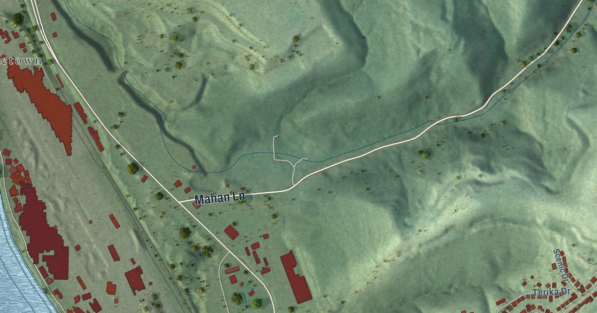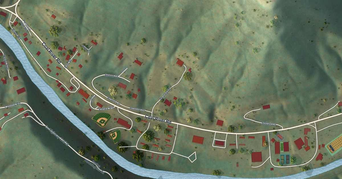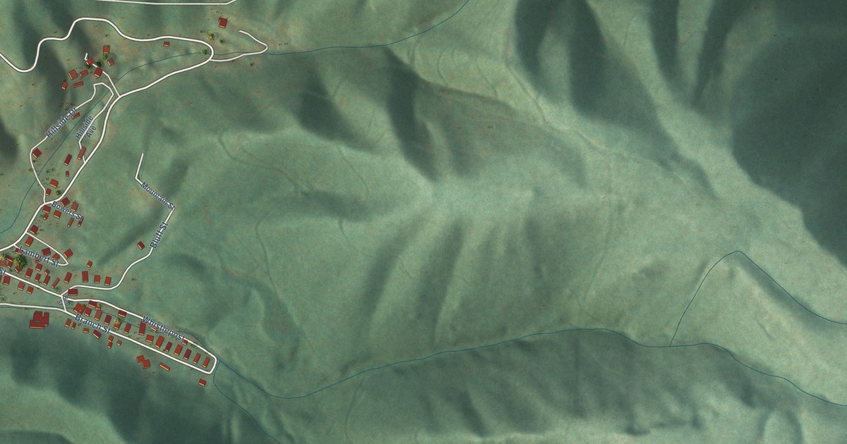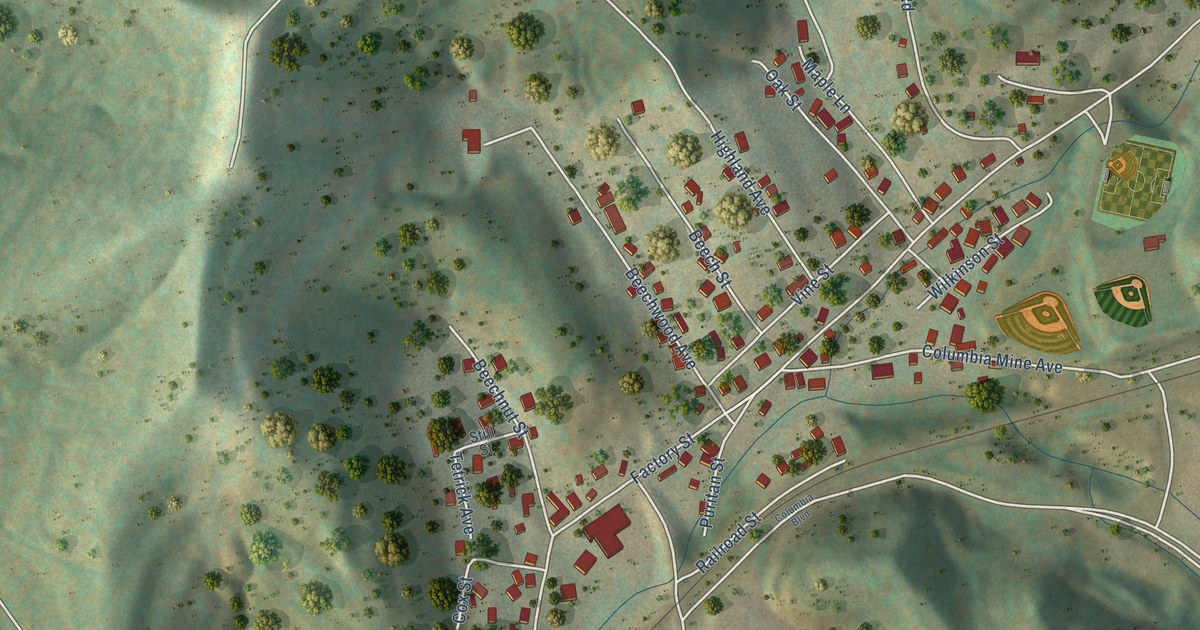
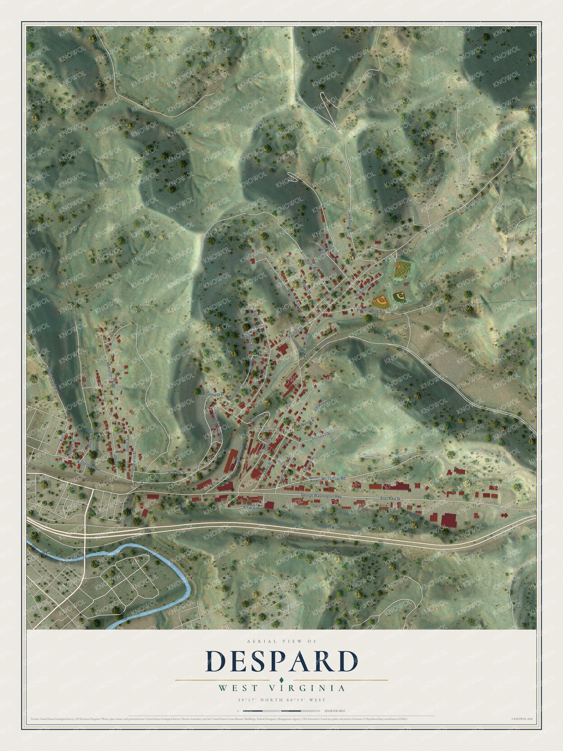
This beautifully detailed map of Despard, West Virginia was created in 2026 using aerial imagery combined with modern topographical, census, street and landmark data. It's a modern aerial view of Despard in Harrison County, West Virginia, that combines modern data with a vintage aesthetic. The roads feature printed names, and if you look closely you can find your exact house accurately shown in its correct location.
Explore an aerial view of Despard, West Virginia
On this map you'll find Summit Park, Pike Street, Wonderbar Road, Summit Park Avenue, George Washington Highway, Simpson Street, East Pike Street, Highland Avenue, Factory Street, Lewis Street, Junior Avenue, Tibbs Avenue, and more. Each red shape is a building, so zoom in on the preview and look for yours.
Despard is a community in Harrison County. The Census Bureau counted 794 people here in 2020. Despard sits about 2 miles north of Nutter Fort, 2 miles northwest of Anmoore and 3 miles north of Stonewood. The map prints the town name in its title panel, with the coordinates below it.
Take a closer look at the Despard map
Names on this map
These names are printed on this map.
Places: Summit Park.
Streets and roads: Pike Street, Wonderbar Road, Summit Park Avenue, George Washington Highway, Simpson Street, East Pike Street, Highland Avenue, Factory Street, Lewis Street, Junior Avenue, Tibbs Avenue, Pinnickinnick Street.
More street names, A to Z
Beechnut Street, Beech Street, Beechwood Avenue, Bluewood Drive, Butcher Street, Columbia Boulevard, Columbia Mine Avenue, Common Street, Cox Street, Filbert Street, Fleming Street, Flint Street, Henry Ford Avenue, Jack Run Road, Kaylea Drive, Lockheed Drive, Maple Lane, Monarch Street, Needham Street, Nelms Street, Nelm Street, North Ohio Avenue, Oak Street, Pathway Street, Pee Kay Road, Puritan Street, Railroad Street, Sand Street, Still Street, Tetrick Avenue, Vine Street, Wilkinson Street, Wonder Bar Road.
See it on a wall
The Despard map as a framed print. Swipe for more.


Created by KNOWOL in 2026. The buildings are small red shapes, the roads carry their printed names, and shaded relief shows the shape of the land. The title panel reads "AERIAL VIEW OF DESPARD, WEST VIRGINIA" with 39°17' NORTH 80°19' WEST.
It looks right in a kitchen, an office or a den, and it's a gift for anyone who grew up in Despard or moved away. Open the preview and find your street. See sizes and frames for the Despard map.