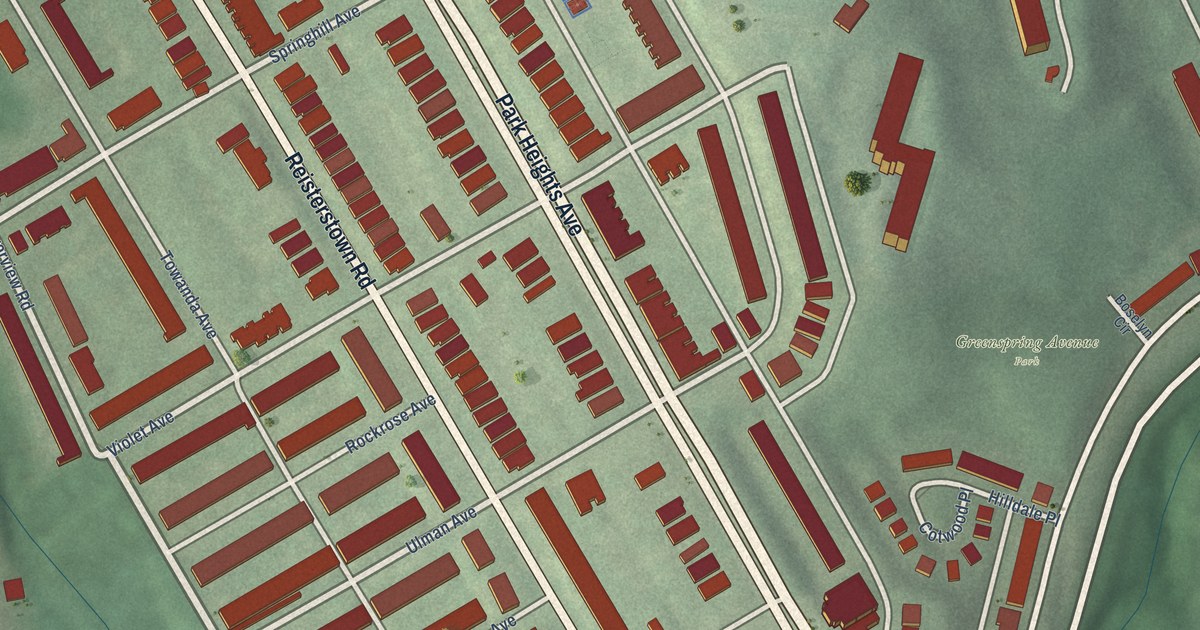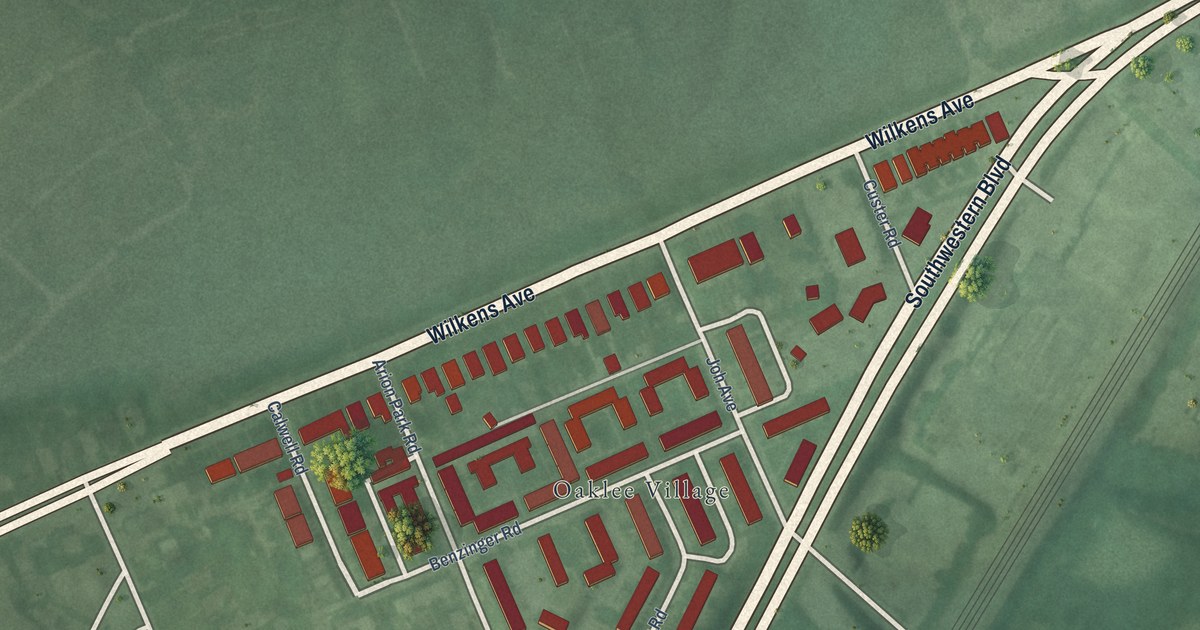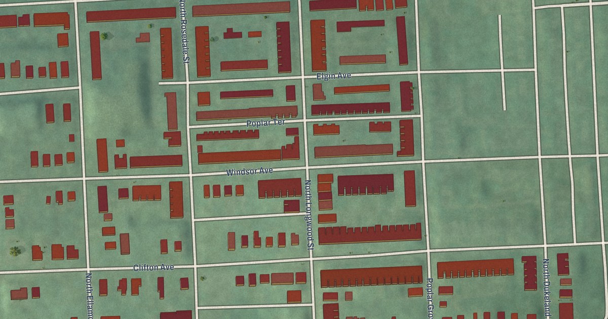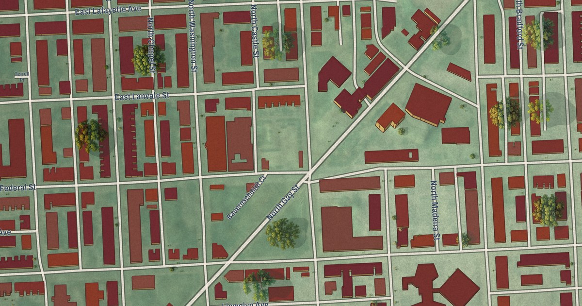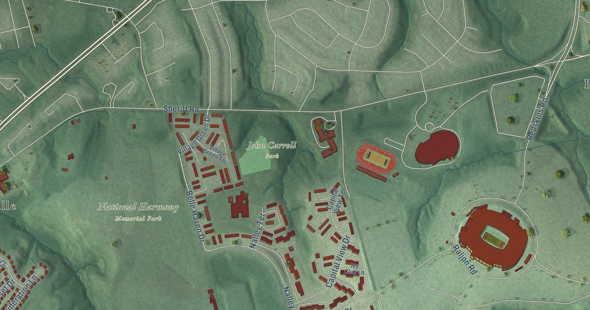
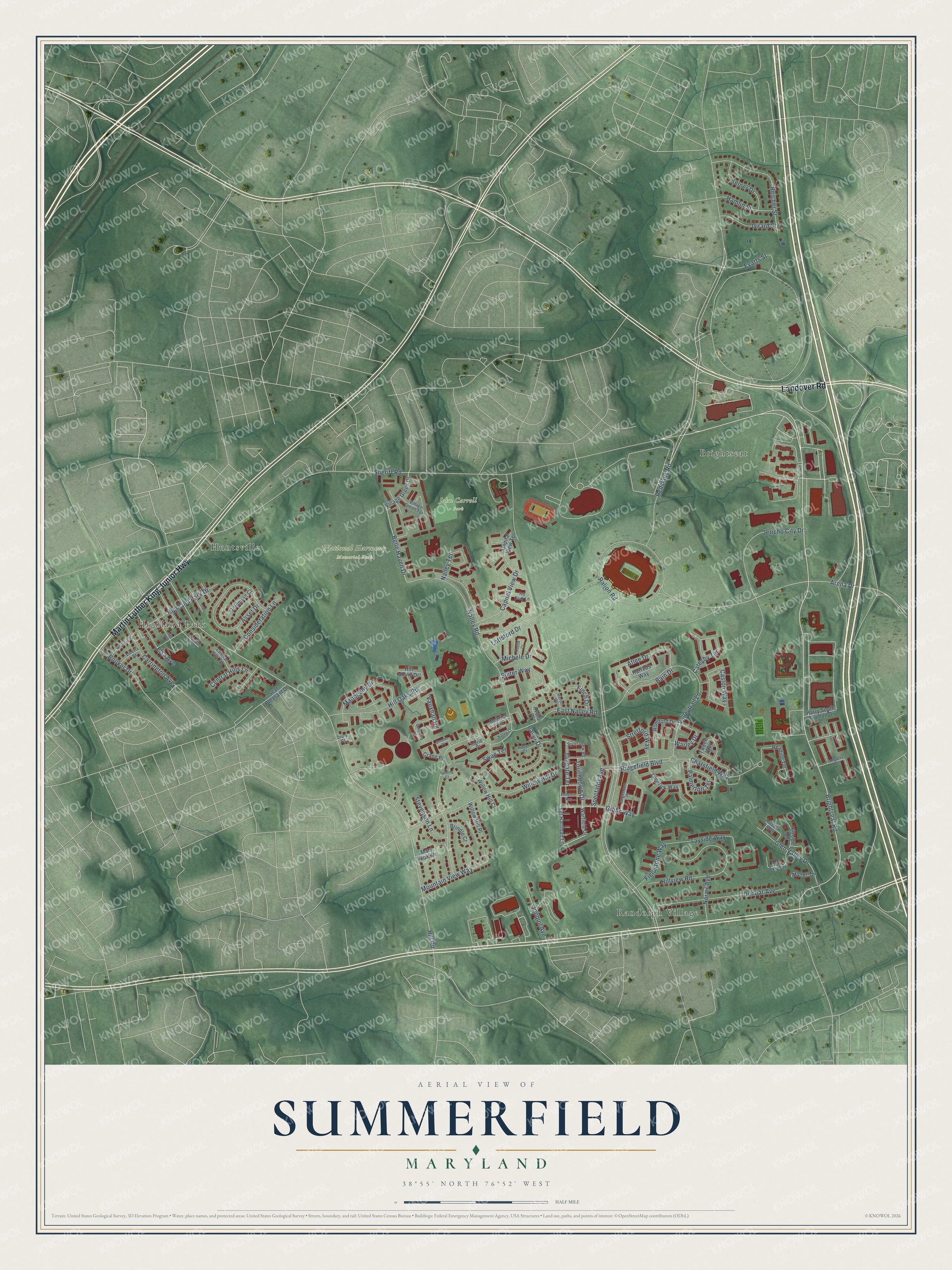
This beautifully detailed map of Summerfield, Maryland was created in 2026 using aerial imagery combined with modern topographical, census, street and landmark data. It's a modern aerial view of Summerfield in Prince George's County, Maryland, that combines modern data with a vintage aesthetic. The roads feature printed names, and if you look closely you can find your exact house accurately shown in its correct location.
Explore an aerial view of Summerfield, Maryland
On this map you'll find John Carroll Park, National Harmony Memorial Park, Randolph Village, Highland Park, Brightseat, Huntsville, Martin Luther King Junior Highway, Landover Road, Brightseat Road, Redskins Road, Belle Haven Drive, Hill Road, and more. Each red shape is a building, so zoom in on the preview and look for yours.
Summerfield is a community in Prince George's County. The Census Bureau counted 14,758 people here in 2020. Summerfield sits about 2 miles southeast of Landover, 2 miles south of Glenarden and 2 miles east of Seat Pleasant. The map prints the town name in its title panel, with the coordinates below it.
Take a closer look at the Summerfield map
Names on this map
These names are printed on this map.
Places: John Carroll Park, National Harmony Memorial Park, Randolph Village, Highland Park, Brightseat and Huntsville.
Streets and roads: Martin Luther King Junior Highway, Landover Road, Brightseat Road, Redskins Road, Belle Haven Drive, Hill Road, Arena Drive, Gibbs Way, Mahogany Drive, Sheriff Road, Nalley Road, Raljon Road.
More street names, A to Z
Asset Drive, Atlee Drive, Avanti Place, Bain Drive, Belgravia Lane, Booker Drive, Brindle Court, Capital View Drive, Capital View Terrace, Carrington Avenue, Caslon Way, Catesby Terrace, Central Hills Lane, Central Hills Terrace, Chatsfield Way, Congress Place, Consideration Lane, Crane Place, Drury Court, Dunbar Avenue, East Nalley Road, Elsa Avenue, Endzone Way, Evarts Street, Fieldstone Way, Fiji Avenue, Finch Drive, Girard Street, Glen Valley Drive, Goldmine Court, Gondar Avenue, Grouse Place, Hamlin Street, Harrods Way, Harry South Truman Drive, Heron Court, Highland Park Drive, Hill Oaks Road, Hillside Terrace, Hill Stone Drive, Hillview Road, Indo Place, Ingrid Place, Ivy Club Lane, Jericho City Drive, Jonquil Avenue, Jurgensen Place, Kelner Drive, Liberia Street, Limerick Way, Lottsford Drive, Manor Terrace, Mary Scot Drive, Meadow Way, Merrick Lane, Michele Drive, Morocco Street, Mountain View Way, Nalley Court, Nalley Terrace, Norair Avenue, Pacer Court, Pacer Drive, Palmerton Terrace, Portia Court, Post Oak Way, Reading Terrace, Reicher Street, Ridgefield Boulevard, Romford Drive, Seat Pleasant Drive, Sgt Hartman Lane, Spectator Avenue, Sport View Road, Stevenson Lane, Stretford Way, Suiter Way, Swan Terrace, Tailgate Terrace, Tayside Way, Touchdown Drive, Tweed Way, Twining Court, Valleytrail Lane, Vauxhall Road, Village Green Drive, Village Green Terrace, Warfield Drive, Warley Drive, Willow Hill Court, Willow Hill Drive, Willow Hill Place.
See it on a wall
The Summerfield map as a framed print. Swipe for more.


Created by KNOWOL in 2026. The buildings are small red shapes, the roads carry their printed names, and shaded relief shows the shape of the land. The title panel reads "AERIAL VIEW OF SUMMERFIELD, MARYLAND" with 38°55' NORTH 76°52' WEST.
It suits a den, a classroom or a front hall, and it makes a gift for anyone with Summerfield roots. Open the preview and find the block you know. See sizes and frames for the Summerfield map.