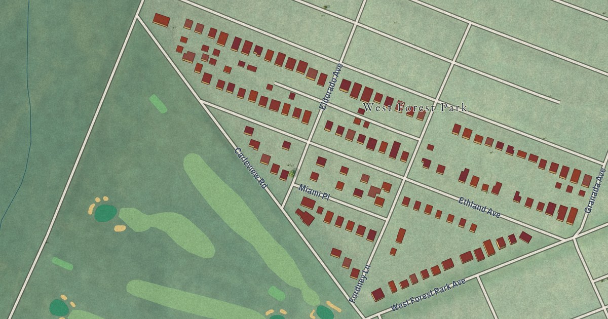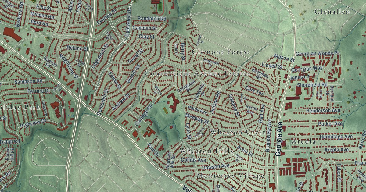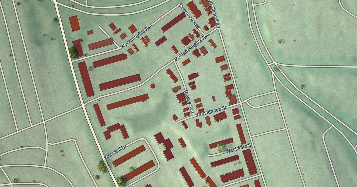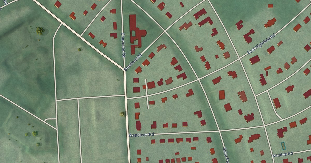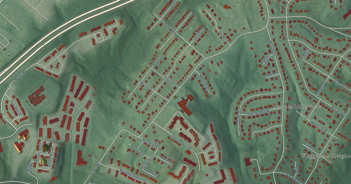
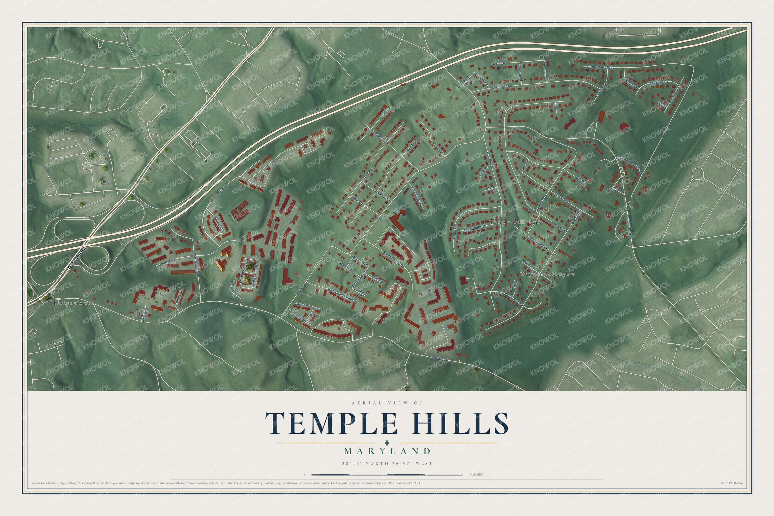
This beautifully detailed map of Temple Hills, Maryland was created in 2026 using aerial imagery combined with modern topographical, census, street and landmark data. It's a modern aerial view of Temple Hills in Prince George's County, Maryland, that combines modern data with a vintage aesthetic. The roads feature printed names, and if you look closely you can find your exact house accurately shown in its correct location.
Explore an aerial view of Temple Hills, Maryland
On this map you'll find Waggaman Heights, Phelps Corner, Temple Hills Park, Oxon Hill Road, Everhart Place, Schenley Lane, Derby Hill Drive, Brinkley Road, Temple Hill Road, Fisher Road, Portal Avenue, Holton Lane, and more. Each red shape is a building, so zoom in on the preview and look for yours.
Temple Hills is a community in Prince George's County. The Census Bureau counted 8,350 people here in 2020. Temple Hills sits about 2 miles west of Camp Springs, 2 miles east of Glassmanor and 2 miles northeast of Oxon Hill. The map prints the town name in its title panel, with the coordinates below it.
Take a closer look at the Temple Hills map
Names on this map
These names are printed on this map.
Places: Waggaman Heights, Phelps Corner and Temple Hills Park.
Streets and roads: Oxon Hill Road, Everhart Place, Schenley Lane, Derby Hill Drive, Brinkley Road, Temple Hill Road, Fisher Road, Portal Avenue, Holton Lane, Walnut Street, Southgate Drive, Spring Terrace.
More street names, A to Z
Barry Drive, Breezy Hill Terrace, Brinkley Station Drive, Canterbury Way, Cardiff Lane, Carriage Drive, Cedar Bluff Place, Christina Lynn Court, Church Way, Clow Court, Corkran Lane, Corning Avenue, Crystal Lane, Damian Drive, Dogwood Drive, Donna Lane, Farness Court, Farness Drive, Fernandes Drive, Fielding Lane, Fisher Drive, Glen Rock Avenue, Gull Road, Haras Place, Hemlock Place, Henry Avenue, Henson Drive, Jane Court, Janice Lane, Joan Lane, Joel Lane, Kildare Court, Lambert Drive, Matthews Drive, Mulberry Lane, Myrtle Avenue, Norris Drive, Old Temple Hills Road, Orme Drive, Rehling Street, Saint Ignatius Drive, Saint Moritz Drive, Southgate Court, Stephen Pettko Court, Stratford Court, Stratford Lane, Stratton Road, Suburban Court, Temple Boulevard, Thunder Hill Court.
See it on a wall
The Temple Hills map as a framed print. Swipe for more.


Created by KNOWOL in 2026. The buildings are small red shapes, the roads carry their printed names, and shaded relief shows the shape of the land. The title panel reads "AERIAL VIEW OF TEMPLE HILLS, MARYLAND" with 38°49' NORTH 76°57' WEST.
It looks right in a kitchen, an office or a den, and it's a gift for anyone who grew up in Temple Hills or moved away. Open the preview and find your street. See sizes and frames for the Temple Hills map.