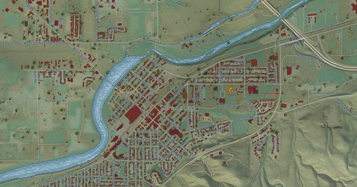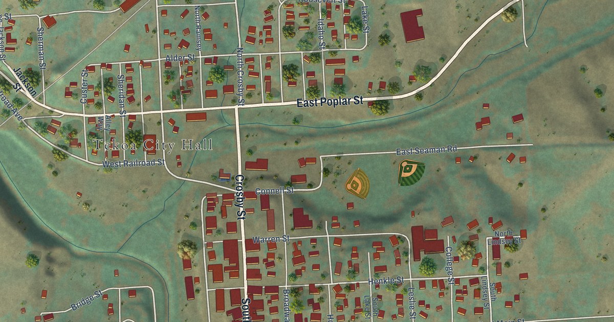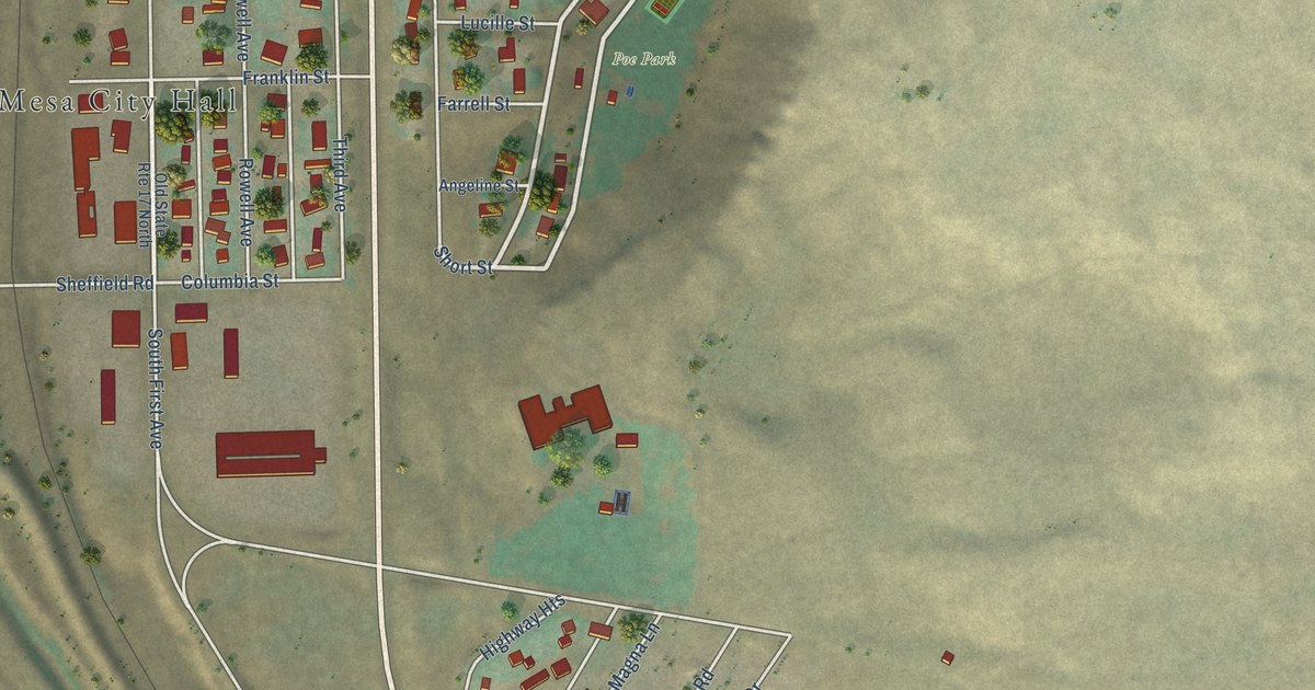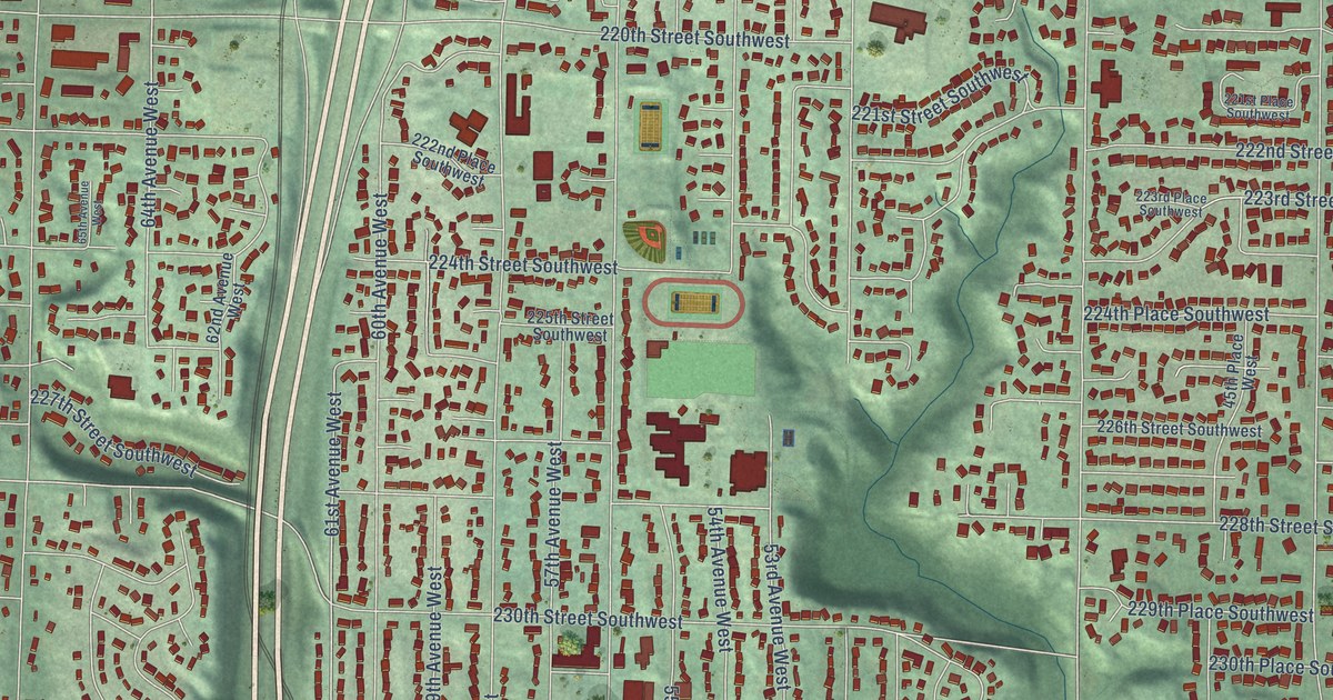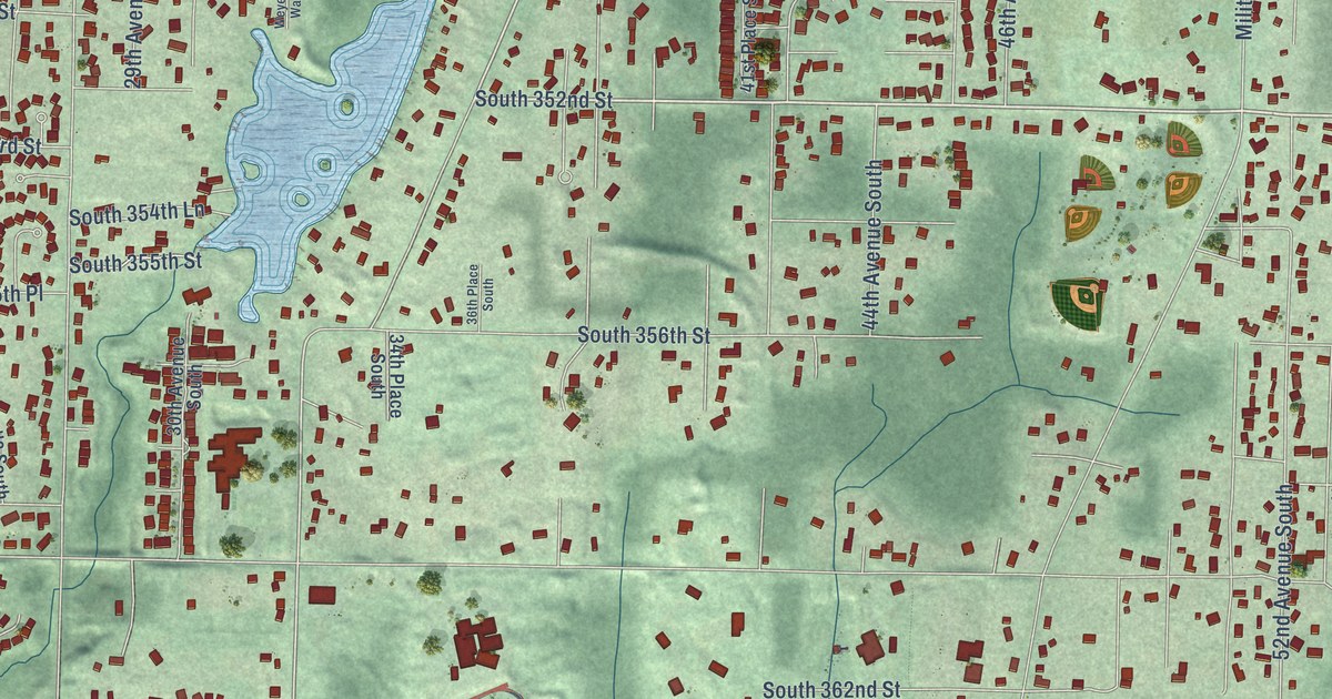
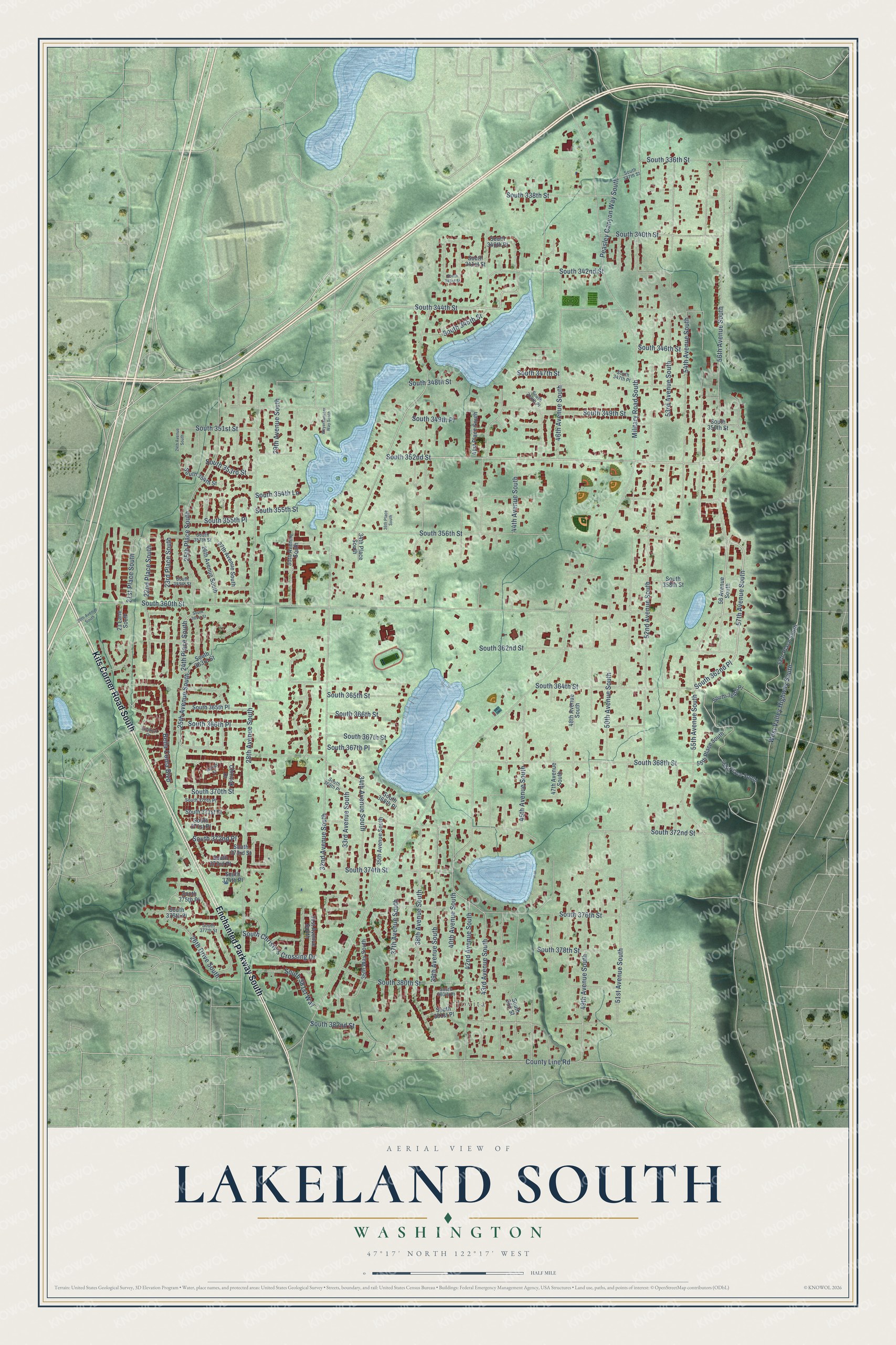
This beautifully detailed map of Lakeland South, Washington was created in 2026 using aerial imagery combined with modern topographical, census, street and landmark data. It's a modern aerial view of Lakeland South in King County, Washington, that combines modern data with a vintage aesthetic. The roads feature printed names, and if you look closely you can find your exact house accurately shown in its correct location.
Explore an aerial view of Lakeland South, Washington
On this map you'll find Jovita, Enchanted Parkway South, Kits Corner Road South, 56th Avenue South, South 352nd Street, South 356th Street, 57th Avenue South, South 344th Street, 43rd Avenue South, 37th Avenue South, 25th Avenue South, 51st Avenue South, and more. Each red shape is a building, so zoom in on the preview and look for yours.
Lakeland South is a community in King County. The Census Bureau counted 13,169 people here in 2020. Lakeland South sits about 2 miles west of Algona, 2 miles northwest of Pacific and 2 miles northeast of Milton. The map prints the town name in its title panel, with the coordinates below it.
Take a closer look at the Lakeland South map
Names on this map
These names are printed on this map.
Places: Jovita.
Streets and roads: Enchanted Parkway South, Kits Corner Road South, 56th Avenue South, South 352nd Street, South 356th Street, 57th Avenue South, South 344th Street, 43rd Avenue South, 37th Avenue South, 25th Avenue South, 51st Avenue South, 39th Avenue South.
More street names, A to Z
20th Avenue South, 21 Lane South, 21st Place South, 22nd Place South, 23rd Place South, 24th Avenue South, 24th Place South, 25th Place South, 26th Avenue South, 26th Drive South, 27th Avenue South, 28th Avenue South, 29th Avenue South, 30th Avenue South, 31st Avenue South, 32nd Avenue South, 33rd Avenue South, 34th Avenue South, 34th Place South, 35th Avenue South, 35th Way South, 36th Place South, 38th Avenue South, 40th Avenue South, 41st Place South, 42nd Avenue South, 44th Avenue South, 45th Avenue South, 46th Avenue South, 47th Avenue South, 48th Avenue South, 49th Avenue South, 50th Avenue South, 52nd Avenue South, 53rd Avenue South, 54th Avenue South, 55th Avenue South, 55th Place South, 56 Avenue South, 56th Place South, 58th Place South, Bella Coola Boulevard, Chinook Drive, County Line Road, Kwakiuti Drive, Makah Court, Military Road South, Peasley Canyon Way South, South 336th Street, South 337th Street, South 338th Street, South 340th Place, South 340th Street, South 341st Street, South 342nd Street, South 343rd Street, South 345th Street, South 346th Street, South 347th Place, South 347th Street, South 348th Place, South 348th Street, South 349th Place, South 349th Street, South 350th Street, South 351st Street, South 353rd Street, South 354th Lane, South 354th Street, South 355th Place, South 355th Street, South 357th Street, South 358th Street, South 359th Street, South 360th Street, South 361st Street, South 362nd Place, South 362nd Street, South 363rd Street, South 364th Place, South 364th Street, South 365th Place, South 365th Street, South 366th Place, South 366th Street, South 367th Place, South 367th Street, South 368th Place, South 368th Street, South 369th Place, South 370th Place, South 370th Street, South 371st Place, South 371st Street, South 372nd Place, South 372nd Street, South 373rd Place, South 373rd Street, South 374th Place, South 374th Street, South 375th Place, South 376th Place, South 376th Street, South 377th Street, South 378th Street, South 380th Place, South 380th Street, South 381st Place, South 381st Way, South 382 Street, South 382nd Street, South Christy's Crossing Drive, West Valley Highway South, Weyerhaeuser Way South.
See it on a wall
The Lakeland South map as a framed print. Swipe for more.


Created by KNOWOL in 2026. The buildings are small red shapes, the roads carry their printed names, and shaded relief shows the shape of the land. The title panel reads "AERIAL VIEW OF LAKELAND SOUTH, WASHINGTON" with 47°17' NORTH 122°17' WEST.
It looks right in a kitchen, an office or a den, and it's a gift for anyone who grew up in Lakeland South or moved away. Open the preview and find your street. See sizes and frames for the Lakeland South map.