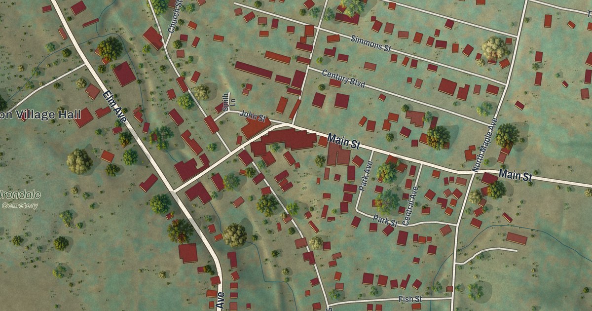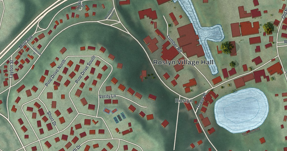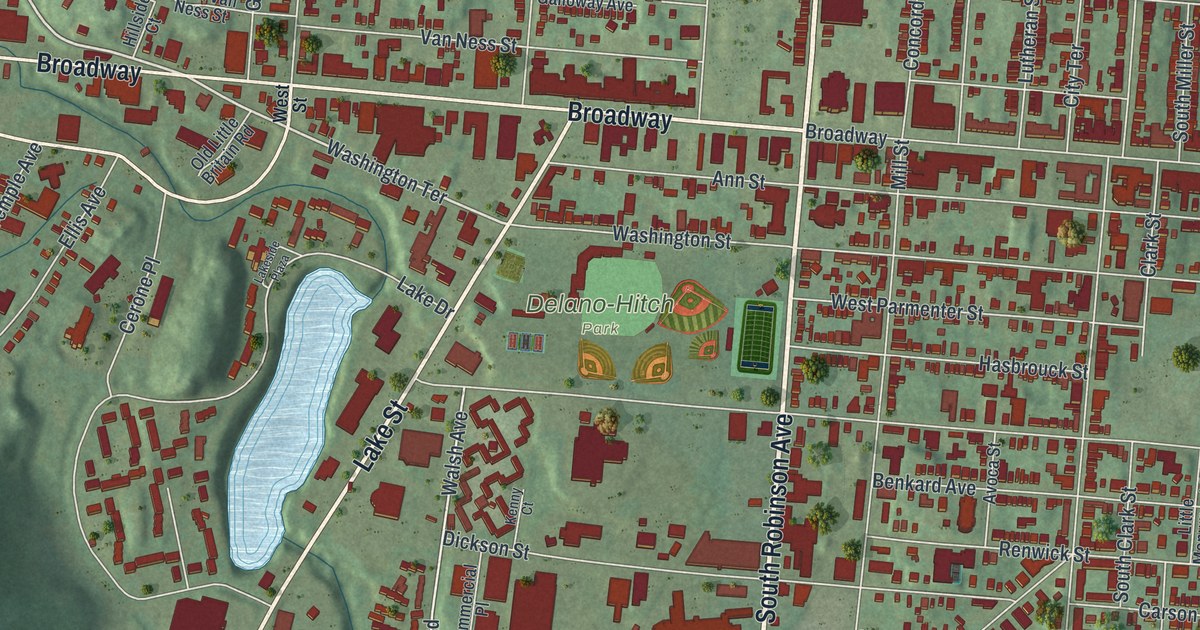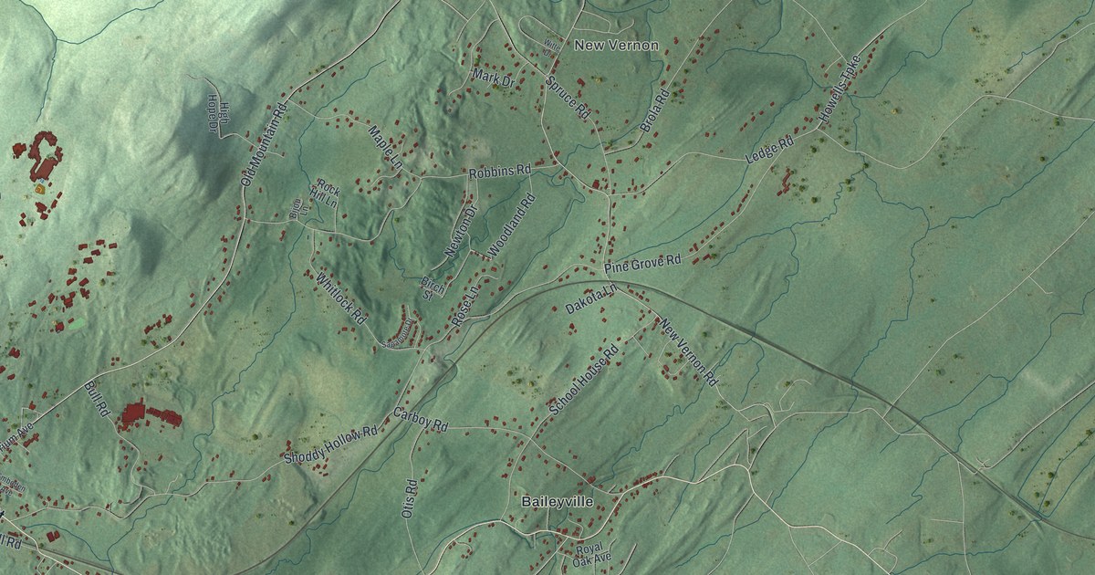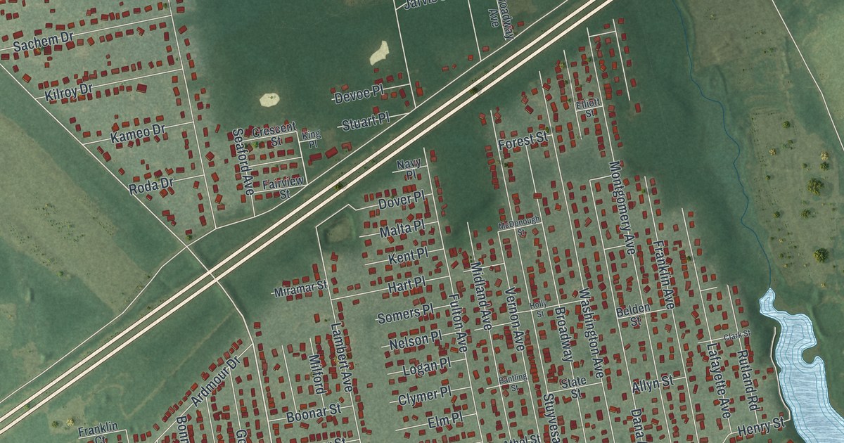
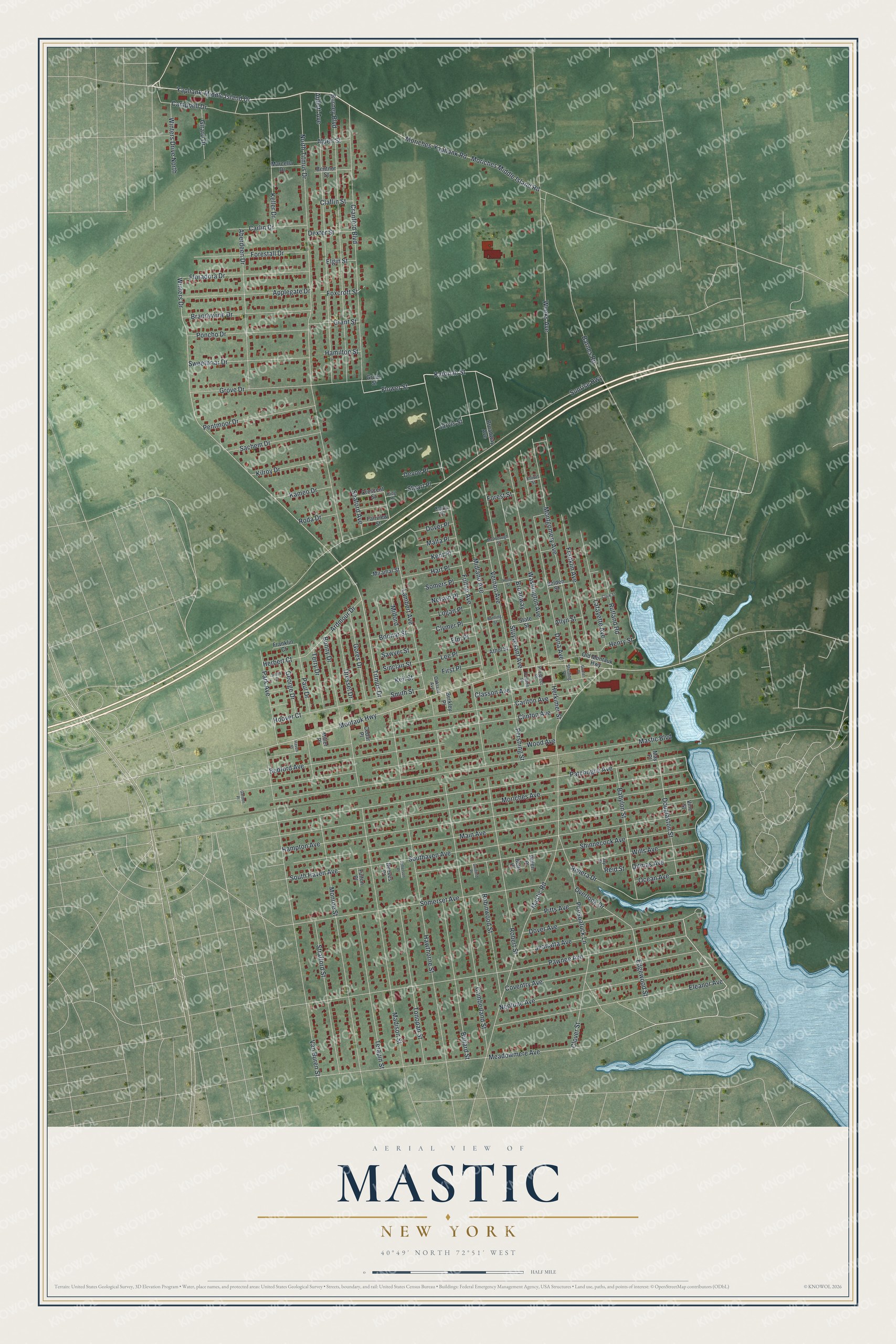
This beautifully detailed map of Mastic, New York was created in 2026 using aerial imagery combined with modern topographical, census, street and landmark data. It's a modern aerial view of Mastic in Suffolk County, New York, that combines modern data with a vintage aesthetic. The roads feature printed names, and if you look closely you can find your exact house accurately shown in its correct location.
Explore an aerial view of Mastic, New York
On this map you'll find Washington Avenue, Yaphank-Middle Island Drive, Katonah Street, Flower Street, Jarvis Street, Overlook Drive, Moriches-Yaphank Road, Titmus Drive, Edgewood Street, Patchogue Avenue, Winters Drive, Lambert Avenue, and more. Each red shape is a building, so zoom in on the preview and look for yours.
Mastic is a community in Suffolk County. The Census Bureau counted 15,404 people here in 2020. Mastic sits about 2 miles northeast of Shirley, 3 miles west of Center Moriches and 4 miles northeast of Brookhaven. The map prints the town name in its title panel, with the coordinates below it.
Take a closer look at the Mastic map
Names on this map
These names are printed on this map.
Streets and roads: Washington Avenue, Yaphank-Middle Island Drive, Katonah Street, Flower Street, Jarvis Street, Overlook Drive, Moriches-Yaphank Road, Titmus Drive, Edgewood Street, Patchogue Avenue, Winters Drive, Lambert Avenue.
More street names, A to Z
Abbott Avenue, Aberdeen Drive, Alden Street, Allyn Street, Applegate Drive, Ardmour Drive, Athol Street, Babylon Street, Bantling Street, Barnes Road, Bedford Avenue, Belden Street, Bentnor Street, Berkley Place, Betts Place, Bonny Drive, Boonar Street, Brandywine Drive, Broadway, Broadway Avenue, Bullard Street, Burney Boulevard, Campbell Drive, Carlin Drive, Carlton Avenue, Cedar Place, Claflin Street, Clark Street, Classon Avenue, Clinton Avenue, Clover Street, Clymer Place, Coventry Avenue, Cranford Boulevard, Crescent Street, Cumberland Street, Dana Avenue, Denton Place, Devoe Place, Dexter Street, Ditmas Avenue, Douglaston Street, Dover Avenue, Dover Place, Dressel Drive, Eleanor Avenue, Elgin Street, Elliott Street, Elm Place, Fairview Street, First Place, Floradora Drive, Forestall Drive, Forest Street, Foxcroft Street, Franklin Avenue, Franklin Court, Fulton Avenue, Fulton Place, Garden Place, Garfield Place, George Drive, Gillen Place, Girard Drive, Gores Drive, Grant Street, Grove Drive, Grove Street, Gunter Place, Hamilton Street, Hampton Avenue, Hart Place, Haven Place, Hawthorne Street, Henry Street, Herbert Court, Herkimer Street, Holly Street, Hoover Court, Jay Street, Jeanatta Avenue, Jefferson Place, Kameo Drive, Keil Street, Keller Drive, Kent Place, Kilroy Drive, King Place, Lafayette Avenue, Lee Place, Logan Place, Madison Street, Main Avenue, Malta Place, Marcella Drive, Mastic Boulevard, Mastic Road, May Place, McDonough Street, Meadowmere Avenue, Midland Avenue, Milford, Miller Place, Miramar Street, Monroe Street, Montauk Highway, Montgomery Avenue, Moriches Avenue, Moriches Middle Island Road, Navy Place, Nelson Place, Neptune Avenue, North Titmus Drive, Oakland Avenue, Ocean Avenue, Old Montauk Highway, Park Avenue, Paul Drive, Pawnee Avenue, Pentmoor Drive, Pershing Street, Pitts Avenue, Poncho Drive, Poospatuck Lane, Prospect Place, Reeves Place, Reid Street, Riviera Drive, Robert Street, Robinwood Street, Roda Drive, Rutland Road, Sachem Drive, Sawyer Street, Seaford Avenue, Shinnecock Avenue, Sinclair Street, Smith Court, Smith Street, Somerset Avenue, Somers Place, Southaven Avenue, South Haven Avenue, State Street, Sterling Place, Strafford Street, Stuart Place, Stuyvesant Avenue, Sunrise Highway, Sweetbriar Drive, Terapin Street, Terry Drive, Tonopan Street, Van Buren Street, Vernon Avenue, Vine Street, Weeks Avenue, Wills Avenue, Winters Drive North, Wood Avenue.
See it on a wall
The Mastic map as a framed print. Swipe for more.


Created by KNOWOL in 2026. The buildings are small red shapes, the roads carry their printed names, and shaded relief shows the shape of the land. The title panel reads "AERIAL VIEW OF MASTIC, NEW YORK" with 40°49' NORTH 72°51' WEST.
It suits a den, a classroom or a front hall, and it makes a gift for anyone with Mastic roots. Open the preview and find the block you know. See sizes and frames for the Mastic map.