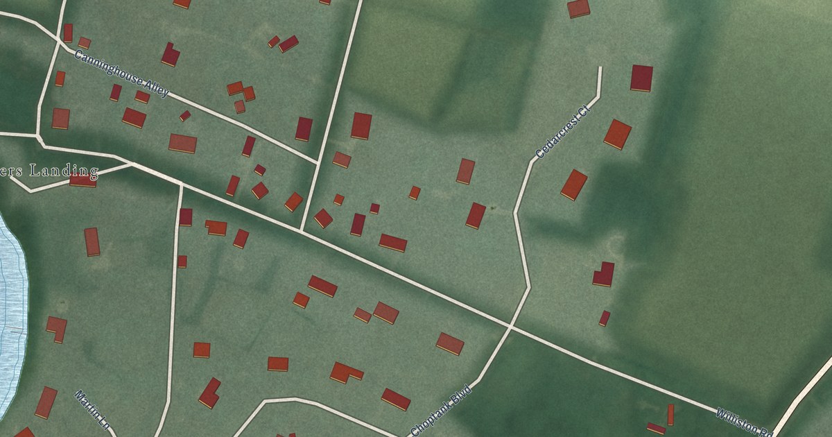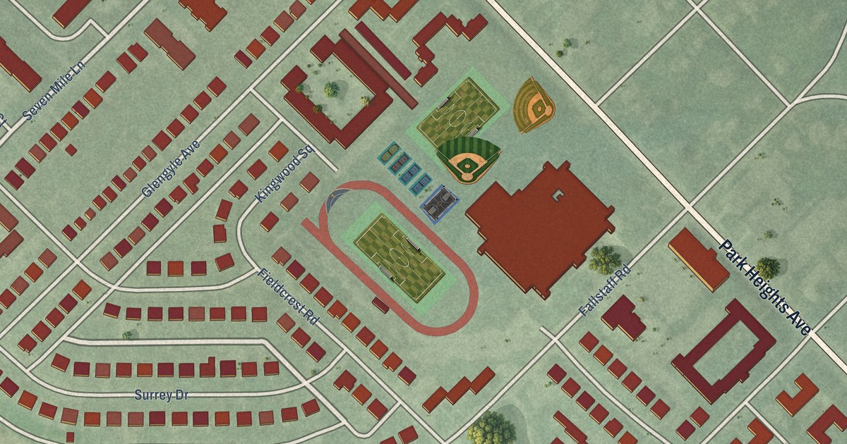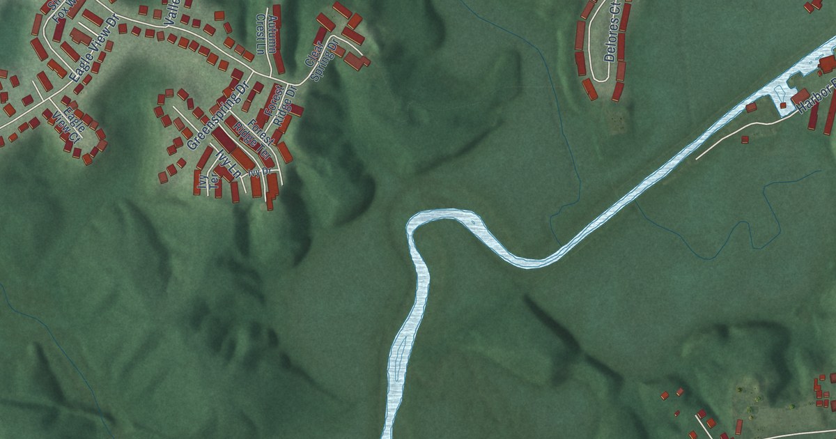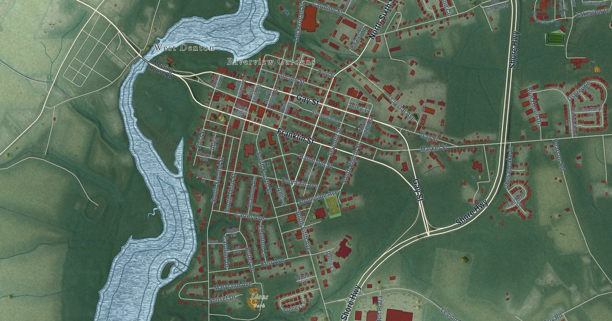
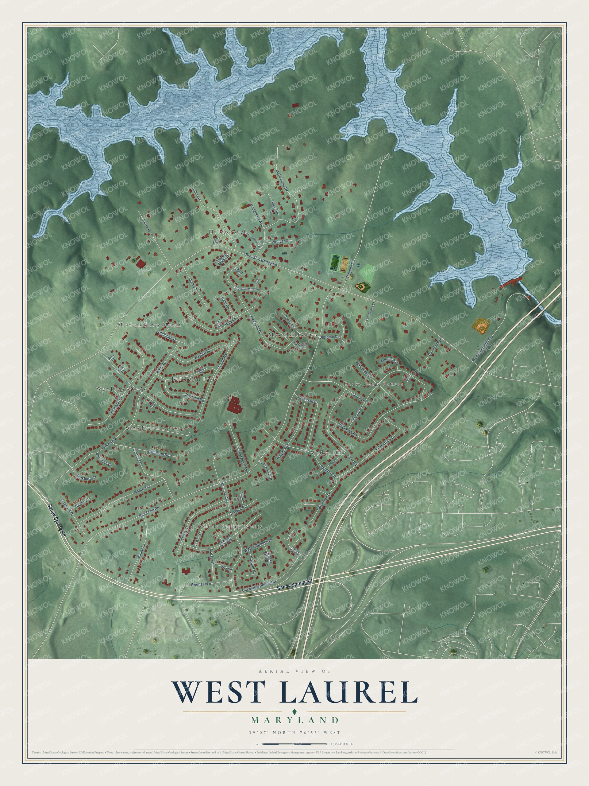
This beautifully detailed map of West Laurel, Maryland was created in 2026 using aerial imagery combined with modern topographical, census, street and landmark data. It's a modern aerial view of West Laurel in Prince George's County, Maryland, that combines modern data with a vintage aesthetic. The roads feature printed names, and if you look closely you can find your exact house accurately shown in its correct location.
Explore an aerial view of West Laurel, Maryland
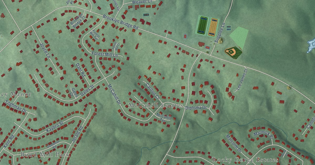
On this map you'll find Bond Mill Park, Hillsborough, Sandy Spring Estates, Rocky Gorge Estates, Walker Hill, West Laurel Acres, McCahill Estates, Maidens Fancy Manor, Wyndham Woods, Sandy Spring Road, Brooklyn Bridge Road, Bond Mill Road, and more. Each red shape is a building, so zoom in on the preview and look for yours.
West Laurel is a community in Prince George's County. The Census Bureau counted 4,428 people here in 2020. West Laurel sits about 2 miles south of Scaggsville, 2 miles east of Burtonsville and 2 miles north of Konterra. The map prints the town name in its title panel, with the coordinates below it.
Take a closer look at the West Laurel map
Names on this map
These names are printed on this map.
Places: Bond Mill Park, Hillsborough, Sandy Spring Estates, Rocky Gorge Estates, Walker Hill, West Laurel Acres, McCahill Estates, Maidens Fancy Manor and Wyndham Woods.
Streets and roads: Sandy Spring Road, Brooklyn Bridge Road, Bond Mill Road, Jerald Road, Supplee Lane, Parkway Drive, Redmiles Road, Kenny Road, McCahill Drive, Bounds Avenue, Straughn Drive, Fitzpatrick Drive.
More street names, A to Z
Ashland Drive, Barkham Court, Bauer Lane, Bradford Drive, Bradford Lane, Brooklyn Bridge Court, Burtons Lane, Calshot Court, Cannfield Drive, Carlton Court, Clark Terrace, Clayburn Drive, Dahl Road, Darwin Court, Darwin Road, Darwin Street, Diploma Drive, Dougherty Avenue, Forest Mill Court, Forest Mill Lane, Forest Mill Terrace, Gales Court, Gales Street, Goldsborough Avenue, Goodman Road, Holger Court, Huckburn Court, Jerald Court, Jera Place, Joyce Lane, Julie Lane, Julie Place, Kaybro Street, Kenny Court, Kent Road, Kerr Road, Leo James Court, Malaya Place, Malcolm Drive, Maple Terrace, Marmick Place, McCahill Terrace, Melbourne Drive, Misty Pine Road, Niles Drive, Old Sandy Spring Road, Orem Drive, Orly Lane, Park Hall Drive, Park Hall Drive West, Plowman Drive, Roblynn Road, Sandy Street, Sherwood Avenue, Sweitzer Lane, Tasa Place, Tilghman Drive, Walker Branch Court, Walker Branch Drive, Wayne Avenue, Weaver Court, West Bond Mill Road, Windham Road.
See it on a wall
The West Laurel map as a framed print. Swipe for more.


Created by KNOWOL in 2026. The buildings are small red shapes, the roads carry their printed names, and shaded relief shows the shape of the land. The title panel reads "AERIAL VIEW OF WEST LAUREL, MARYLAND" with 39°07' NORTH 76°53' WEST.
Hang it in the hallway, the office or the cabin, or give it to someone who left West Laurel and still calls it home. Open the preview and look for a street you know. See sizes and frames for the West Laurel map.