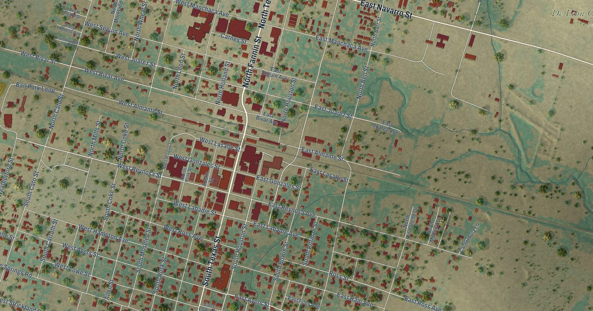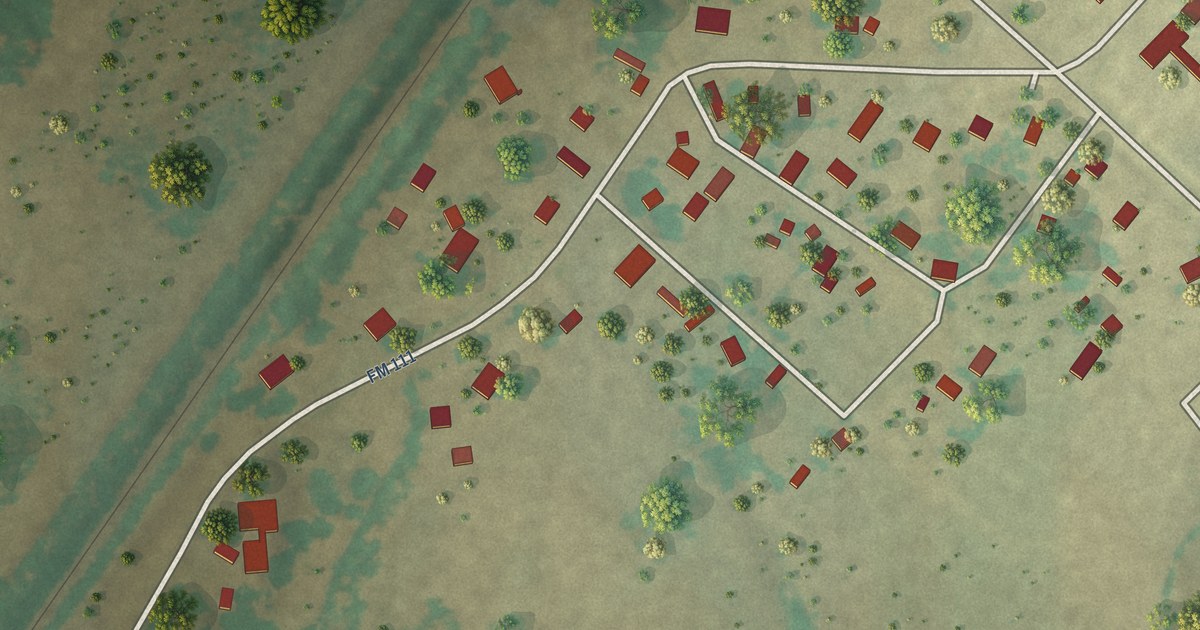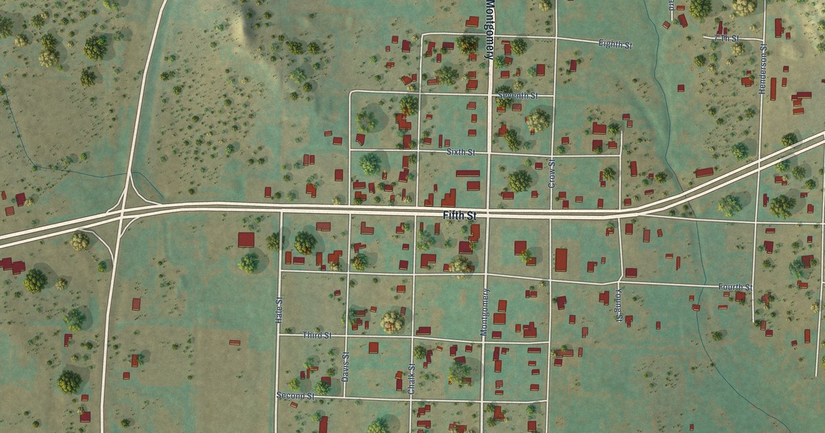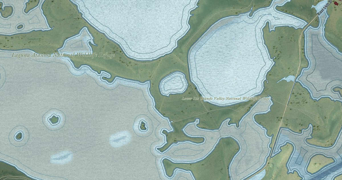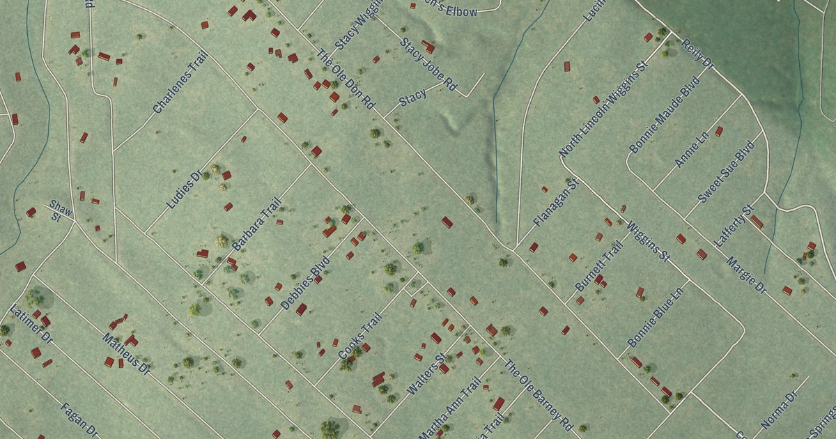
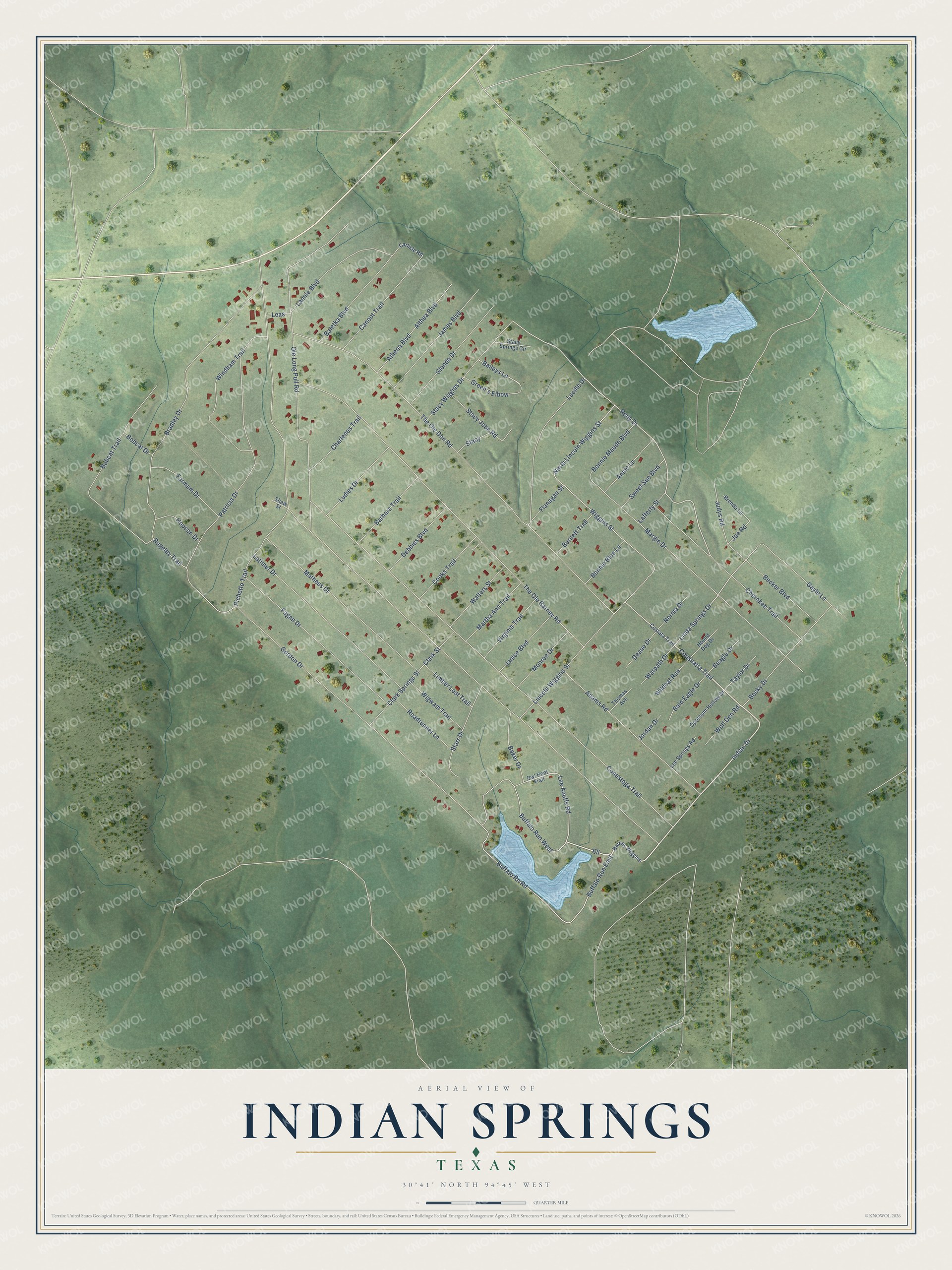
This beautifully detailed map of Indian Springs, Texas was created in 2026 using aerial imagery combined with modern topographical, census, street and landmark data. It's a modern aerial view of Indian Springs in Polk County, Texas, that combines modern data with a vintage aesthetic. The roads feature printed names, and if you look closely you can find your exact house accurately shown in its correct location.
Explore an aerial view of Indian Springs, Texas
On this map you'll find Indian Drive, Coushatta Trail, Eli, Lee Acuffs Road, Linda Springs Drive, Buffalo Run East, Reily Drive, Cherokee Trail, Clark Springs Street, Clark Street, North Lincoln Wiggins Street, Wiggins Street, and more. Each red shape is a building, so zoom in on the preview and look for yours.
Indian Springs is a community in Polk County. The Census Bureau counted 892 people here in 2020. Indian Springs sits about 12 miles east of Livingston, 13 miles northeast of Goodrich and 13 miles southeast of Seven Oaks. The map prints the town name in its title panel, with the coordinates below it.
Take a closer look at the Indian Springs map
Names on this map
These names are printed on this map.
Streets and roads: Indian Drive, Coushatta Trail, Eli, Lee Acuffs Road, Linda Springs Drive, Buffalo Run East, Reily Drive, Cherokee Trail, Clark Springs Street, Clark Street, North Lincoln Wiggins Street, Wiggins Street.
More street names, A to Z
Adams Road, Althea Boulevard, Annie Lane, Athena Boulevard, Baileys Lane, Baker Drive, Bald Eagle Drive, Baletka Boulevard, Barbara Trail, Barney Wiggins, Beagle Drive, Becker Boulevard, Becky Drive, Bobcat Drive, Bobcat Trail, Bonnie Blue Lane, Bonnie Maude Boulevard, Bradley Drive, Brenda Lane, Buffalo Rn Road, Buffalo Run West, Burnett Trail, Canoot Trail, Carlisle Road, Charlenes Trail, Conestoga Trail, Cooks Trail, Costata Trail, Deane Drive, Debbies Boulevard, Fagan Drive, Farmum Drive, Flanagan Street, Gayle Lane, Glenda Drive, Gordon Drive, Green's Elbow, Hopson Drive, Hound Dog Drive, James Boulevard, Janice Boulevard, Joe Road, Jordan Drive, Judys Road, Lafferty Street, Lannie Boulevard, Latimer Drive, Leas, Lee Springs Road, Limber Lost Trail, Lincoln Wiggins Street, Lucille Drive, Ludies Drive, Margie Drive, Martha Ann Trail, Matheus Drive, Monroe Drive, Norma Drive, Ole Long Pull Road, Opossum Hollow Drive, Owl Hoot Trail, Patricia Drive, Pichetto Trail, Roadrunner Lane, Rugeley Trail, Shaw Street, Stacy, Stacy Jobe Road, Stacy Springs Circle, Stacy Wiggins Drive, Starr Drive, Sweet Sue Boulevard, Taylor Drive, The Ole Barney Road, The Ole Don Road, Thomas Avenue, Virginia Trail, Walters Street, Warpath Drive, Wigwam Trail, Wildcat Run, Windham Trail, Wolf Den Road.
See it on a wall
The Indian Springs map as a framed print. Swipe for more.


Created by KNOWOL in 2026. The buildings are small red shapes, the roads carry their printed names, and shaded relief shows the shape of the land. The title panel reads "AERIAL VIEW OF INDIAN SPRINGS, TEXAS" with 30°41' NORTH 94°45' WEST.
It looks right in a kitchen, an office or a den, and it's a gift for anyone who grew up in Indian Springs or moved away. Open the preview and find your street. See sizes and frames for the Indian Springs map.