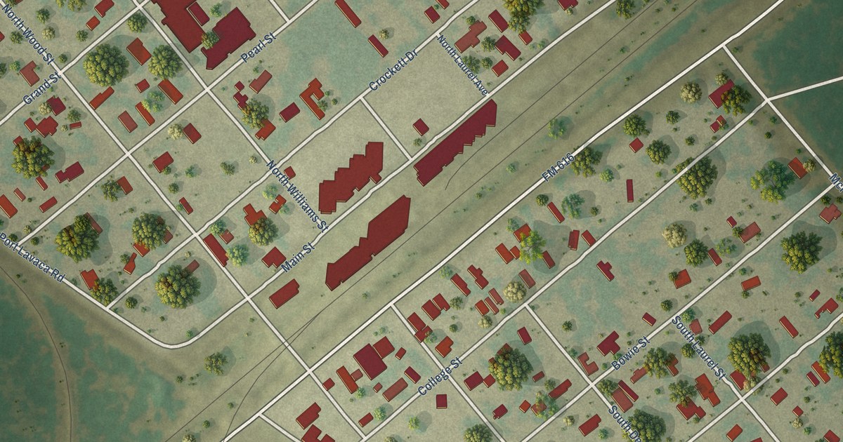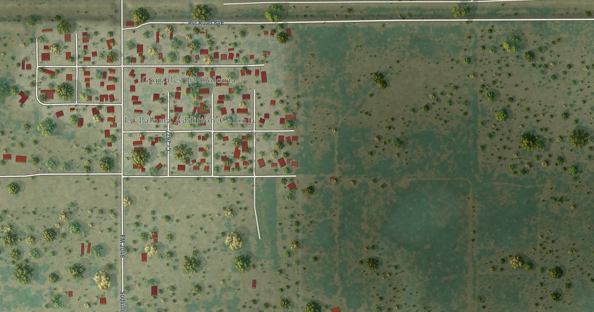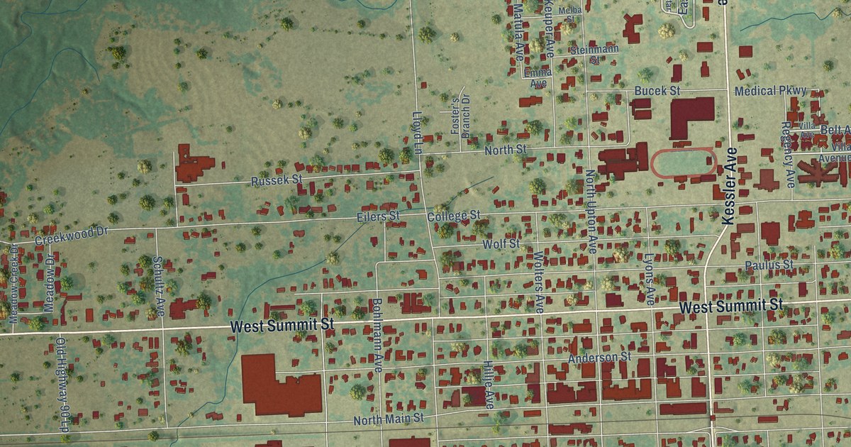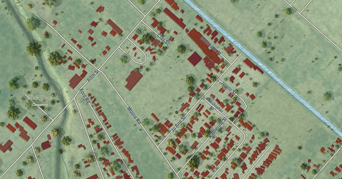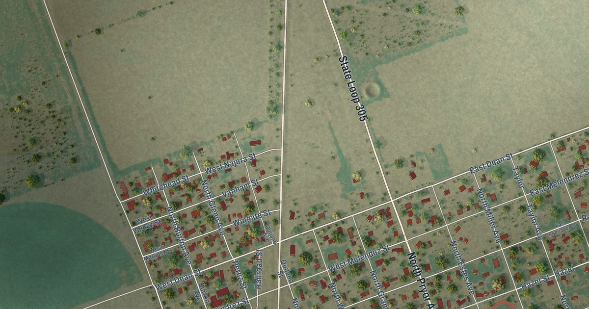
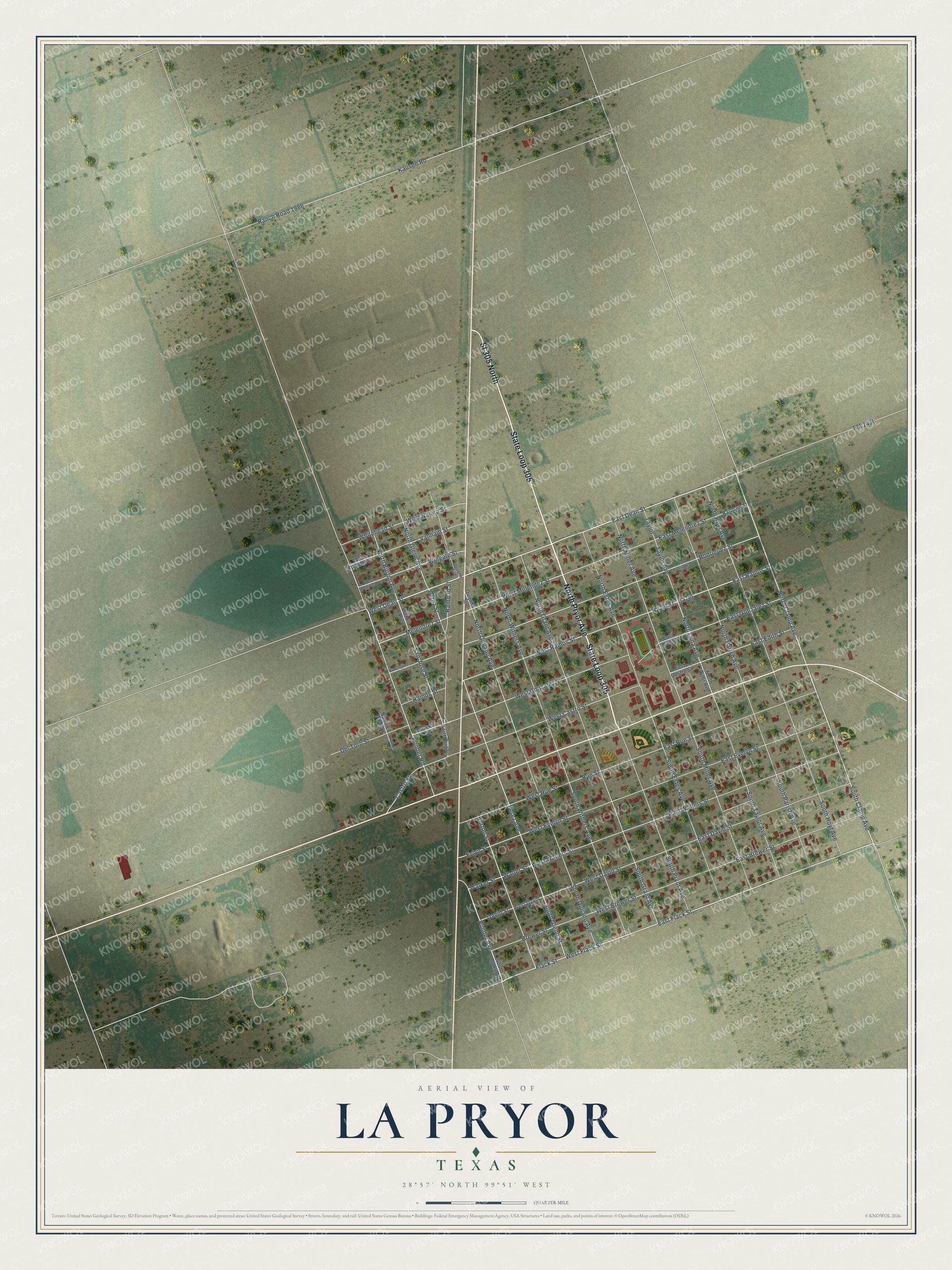
This beautifully detailed map of La Pryor, Texas was created in 2026 using aerial imagery combined with modern topographical, census, street and landmark data. It's a modern aerial view of La Pryor in Zavala County, Texas, that combines modern data with a vintage aesthetic. The roads feature printed names, and if you look closely you can find your exact house accurately shown in its correct location.
Explore an aerial view of La Pryor, Texas
On this map you'll find North Pryor Avenue, State Loop 305, Sl 305 North, East Flack Street, East Dean Street, West Flack Street, North Clamp Avenue, South Clamp Avenue, West Dean Street, Ponder Avenue, Melendrez Street, Flack Street, and more. Each red shape is a building, so zoom in on the preview and look for yours.
La Pryor is a community in Zavala County. The Census Bureau counted 1,294 people here in 2020. La Pryor sits about 13 miles west of Batesville, 15 miles south of Uvalde Estates and 16 miles north of Loma Grande. The map prints the town name in its title panel, with the coordinates below it.
Take a closer look at the La Pryor map
Names on this map
These names are printed on this map.
Streets and roads: North Pryor Avenue, State Loop 305, Sl 305 North, East Flack Street, East Dean Street, West Flack Street, North Clamp Avenue, South Clamp Avenue, West Dean Street, Ponder Avenue, Melendrez Street, Flack Street.
More street names, A to Z
Bardsen Street, Brewer Street, Burton Avenue, Burton Street, Castro Street, David Street, Del Toro Street, East Brewer Street, East Castro Street, East David Street, East Edith Street, East Evelyn Street, East Gonzalez Street, East Melendrez Street, East Ramos Street, East Rodriquez Street, East Rue Street, East Velma Street, East Walters Street, Evlyn Street, FM 1436, Gonzalez Street, Hazel, Hazel Street, Kausen Road, North Burton, North Burton Avenue, North El Paso Street, North Estes Avenue, North Glenn Avenue, North Grant Avenue, North Hoyt Avenue, North Luna Avenue, North Miller Avenue, North Parish Avenue, North Quijano Avenue, North Taylor Avenue, North Withers Avenue, Perez Avenue, Perez Street, Ponder Road, Quijano Avenue, Quijano Street, Railroad Street, Ramos Street, Ranch Road 1986, Rodriguez Street, Rodriquez Street, Rue Street, San Jose Street, South El Paso Street, South Estes Avenue, South Glenn Street, South Grant Avenue, South Hoyt Avenue, South Miller Avenue, South Parish Avenue, South Ponder Avenue, South Pryor Avenue, South Quijano Avenue, South Taylor Avenue, South Withers Avenue, Taylor, Taylor Avenue, Vanham Street, Walker Street, Walter Street, West Brewer Street, West Castro Street, West David, West David Street, West Evelyn Street, West Gonzalez Street, West Martinez Street, West Melendez Street, West Najera Street, West Ramos Street, West Rue Street, West Valdez Street, West Walters Street, Whitehead Street, Wingate Street.
See it on a wall
The La Pryor map as a framed print. Swipe for more.


Created by KNOWOL in 2026. The buildings are small red shapes, the roads carry their printed names, and shaded relief shows the shape of the land. The title panel reads "AERIAL VIEW OF LA PRYOR, TEXAS" with 28°57' NORTH 99°51' WEST.
It looks right in a kitchen, an office or a den, and it's a gift for anyone who grew up in La Pryor or moved away. Open the preview and find your street. See sizes and frames for the La Pryor map.