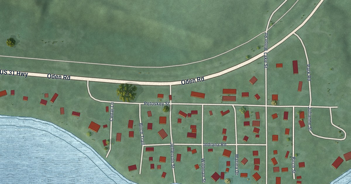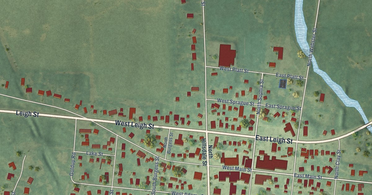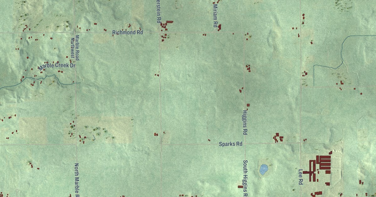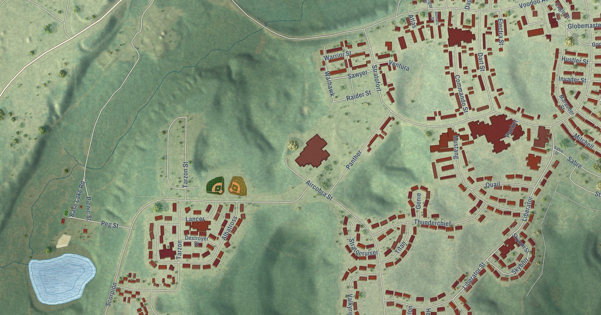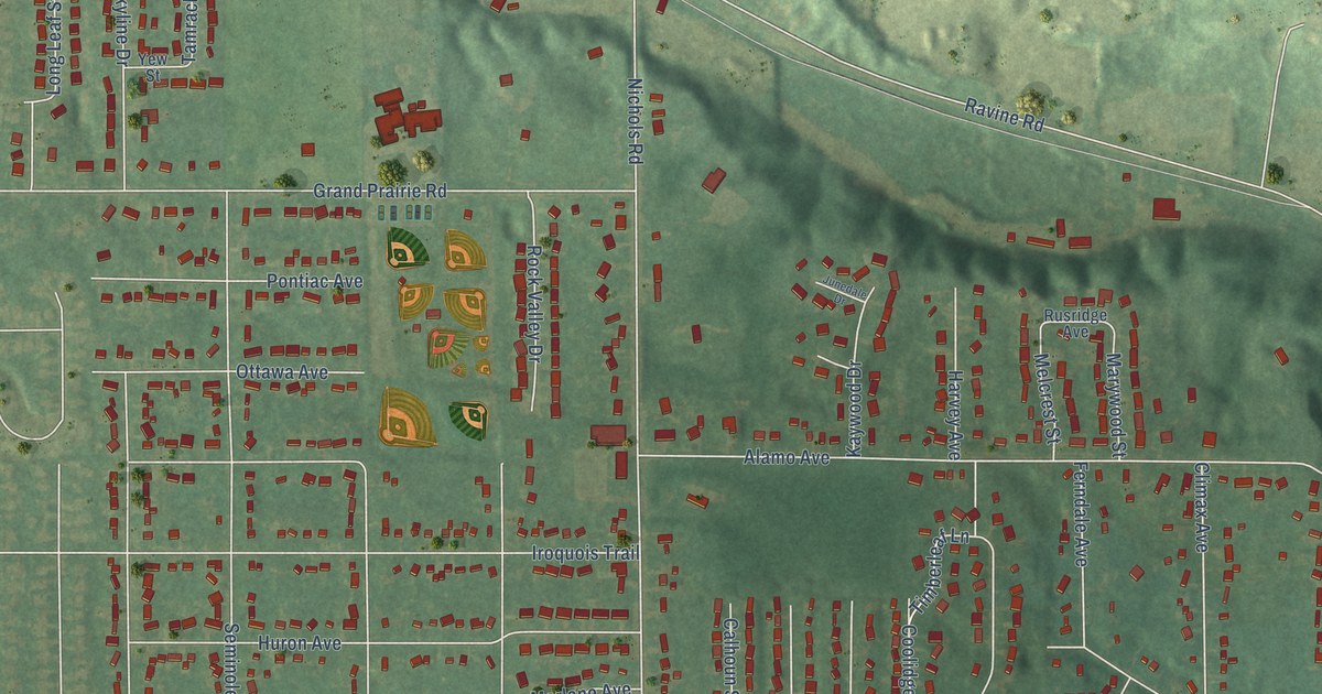
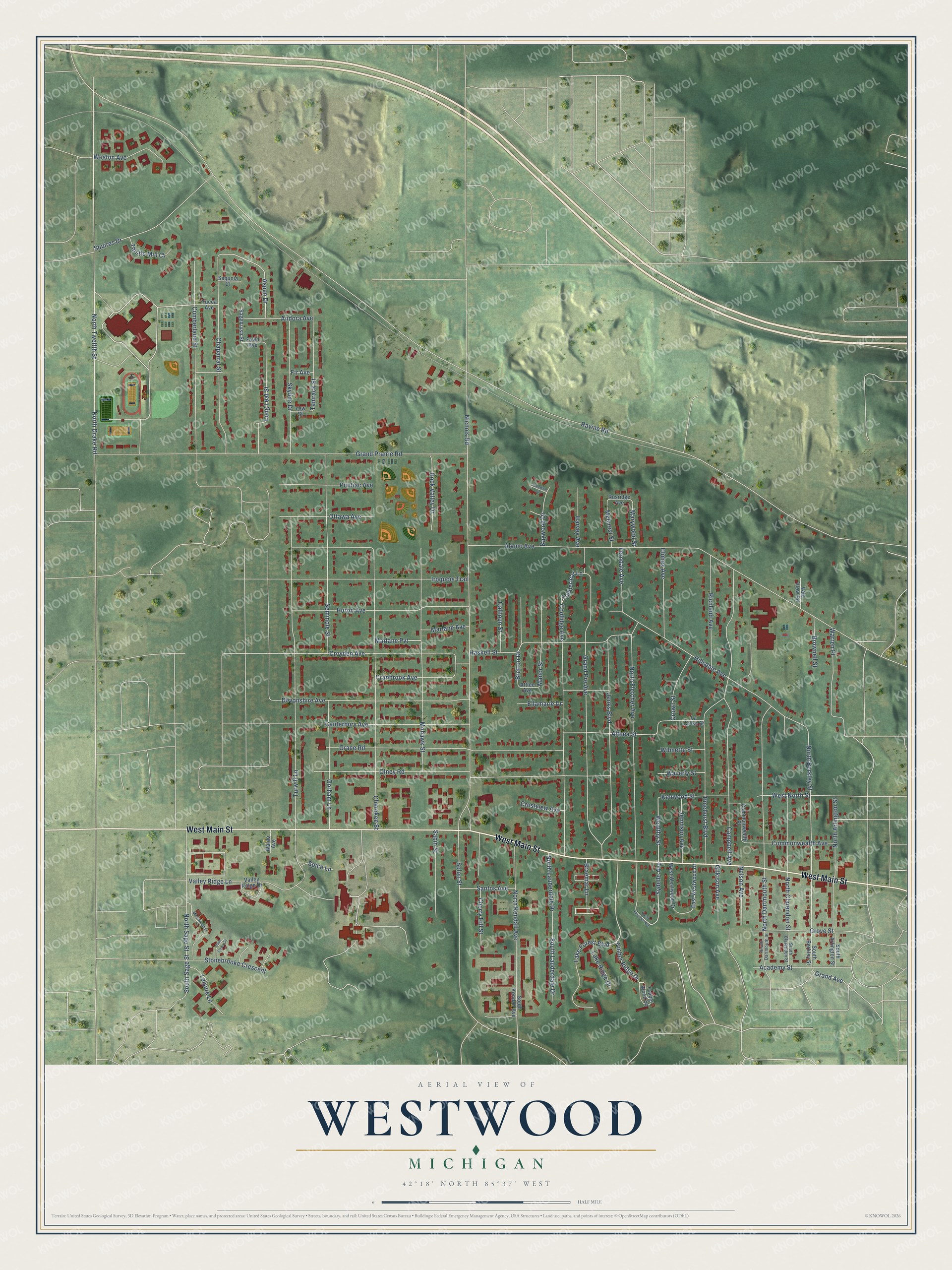
This beautifully detailed map of Westwood, Michigan was created in 2026 using aerial imagery combined with modern topographical, census, street and landmark data. It's a modern aerial view of Westwood in Kalamazoo County, Michigan, that combines modern data with a vintage aesthetic. The roads feature printed names, and if you look closely you can find your exact house accurately shown in its correct location.
Explore an aerial view of Westwood, Michigan
On this map you'll find West Main Street, Sydelle Avenue, Aspen Drive, Wealthy Street, North Berkley Street, Timber Ridge Drive, South Sage Street, Ravine Road, Alamo Avenue, Nichols Road, Turwill Lane, Grand Prairie Road, and more. Each red shape is a building, so zoom in on the preview and look for yours.
Westwood has a story worth telling. The western part of Kalamazoo Township lay on Grand Prairie, one of the county's natural prairies, about 800 acres of open meadow. When a pioneer family traveled northwest from Kalamazoo in 1830, Benjamin Drake was already living on the prairie, and he settled along the line between Kalamazoo and Oshtemo townships. Drake was still living, aged ninety-two, when the county history came out in 1880. That's from the 1880 History of Kalamazoo County.
Westwood is a community in Kalamazoo County. The Census Bureau counted 9,621 people here in 2020. Westwood sits about 3 miles northwest of Kalamazoo, 4 miles southwest of Parchment and 4 miles west of Eastwood. The map prints the town name in its title panel, with the coordinates below it.
Take a closer look at the Westwood map
Names on this map
These names are printed on this map.
Streets and roads: West Main Street, Sydelle Avenue, Aspen Drive, Wealthy Street, North Berkley Street, Timber Ridge Drive, South Sage Street, Ravine Road, Alamo Avenue, Nichols Road, Turwill Lane, Grand Prairie Road.
More street names, A to Z
Academy Street, Althea Street, Andora Avenue, Attlee Avenue, Braemar Lane, Bretton Drive, Brownell Street, Calhoun Street, Campbell Avenue, Canterbury Avenue, Chaparral Street, Cherokee Street, Cherry Hill Street, Climax Avenue, Commonwealth Avenue, Commonwealth Place, Coolidge Avenue, Cranbrook Avenue, Crestview Avenue, Crown Street, Croyden Avenue, Cumberland Street, Devonshire Avenue, East Westwood Drive, Ellamarie Drive, Fawn Avenue, Ferndale Avenue, Fir Avenue, Gilkison Avenue, Gorham Lane, Grace Road, Grand Avenue, Grand Pre Avenue, Grove Street, Harvey Avenue, Haskell Street, Hillsdale Avenue, Huron Avenue, Iroquois Trail, Jenks Boulevard, Jennison Avenue, Junedale Drive, Kaywood Drive, Kenwood Street, La Cross Street, Lake Forest Boulevard, Lake Ridge Drive, Leisure Lane, Long Leaf Street, Manor Street, Marlane Avenue, Marlane Pvt, Marywood Street, Melcrest Street, Merriweather Lane, Mohawk Street, Nelson Avenue, North Arlington Street, North Clarendon Street, North Dartmouth Street, North Drake Road, North Flecther Avenue, North Fletcher Avenue, North Kendall Avenue, North Lauderdale Drive, North Sage Street, North Twelfth Street, Olney Road, Ottawa Avenue, Pine Cove Circle, Pinehurst Boulevard, Pontiac Avenue, Richland Avenue, Rock Valley Drive, Rusridge Avenue, Sabin Street, Sagebrush Street, Santos Avenue, Seminole Street, Sequoia Court, Skyline Drive, Solon Street, South Arlington Street, South Berkley Street, South Clarendon Street, South Dartmouth Street, South Kendall Avenue, South Lauderdale Drive, Spice Lane, Squires Drive, Stonebrooke Crescent, Tamrack Street, Thistle Mill Court, Timberleaf Lane, Timber Wood Square, Vale View Road, Valley Ridge Drive, Valley Ridge Lane, Waldo Avenue, Warren Place, Waverly Street, West North Street, Weston Avenue, West Westwood Drive, Wilmette Street, Yew Street, Yucca Avenue.
See it on a wall
The Westwood map as a framed print. Swipe for more.


Created by KNOWOL in 2026. The buildings are small red shapes, the roads carry their printed names, and shaded relief shows the shape of the land. The title panel reads "AERIAL VIEW OF WESTWOOD, MICHIGAN" with 42°18' NORTH 85°37' WEST.
It looks right in a kitchen, an office or a den, and it's a gift for anyone who grew up in Westwood or moved away. Open the preview and find your street. See sizes and frames for the Westwood map.