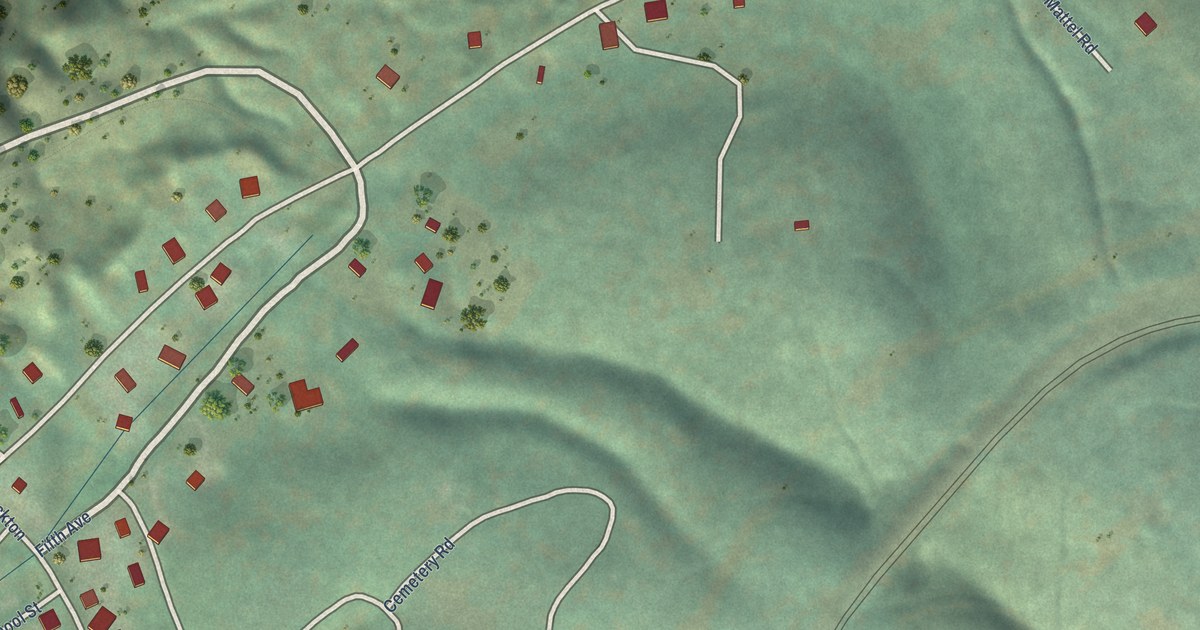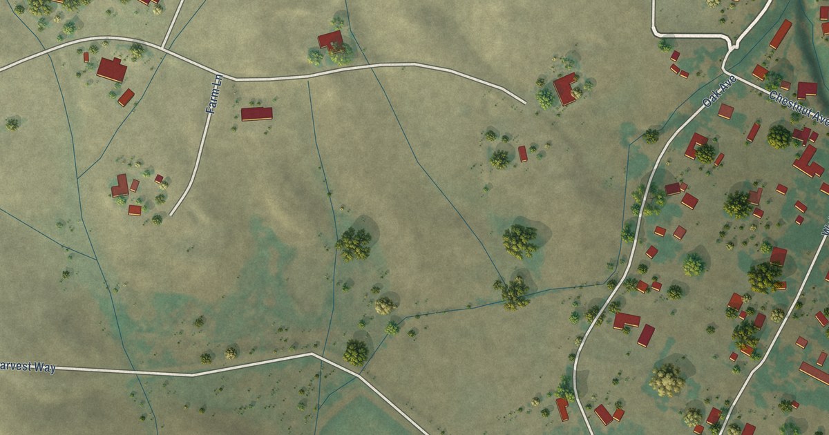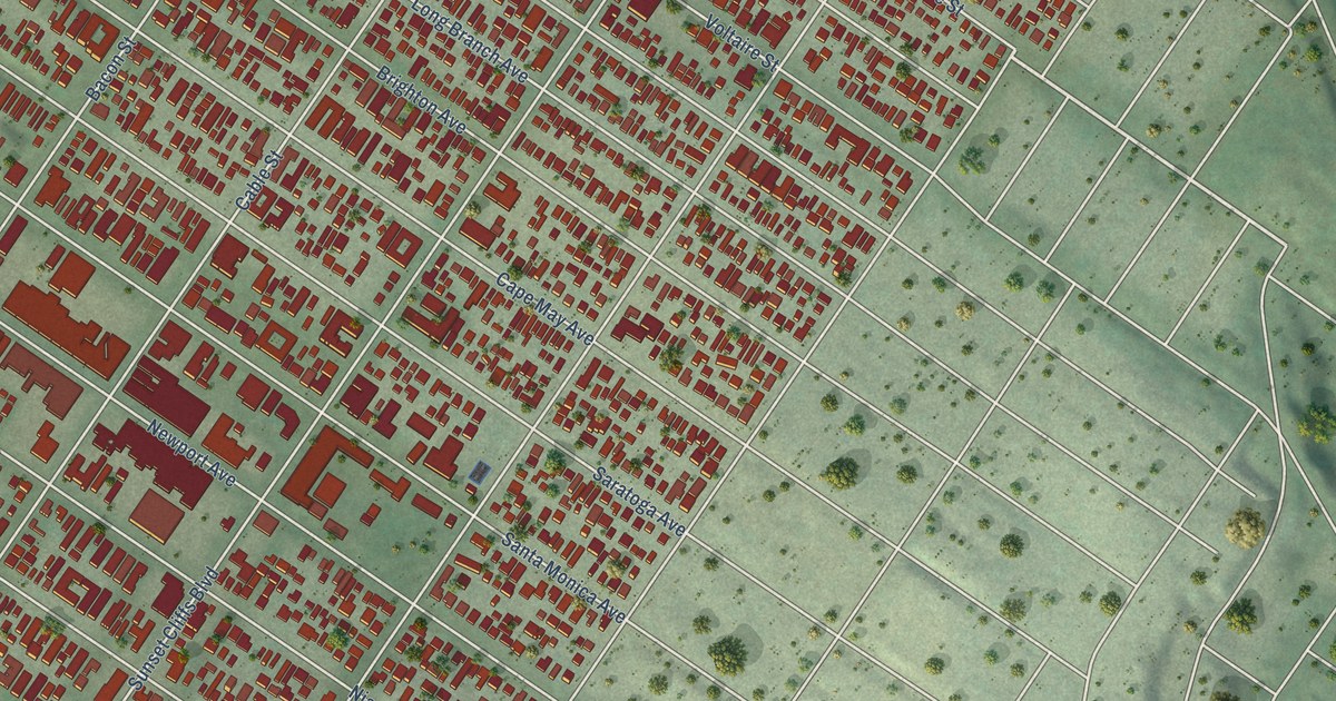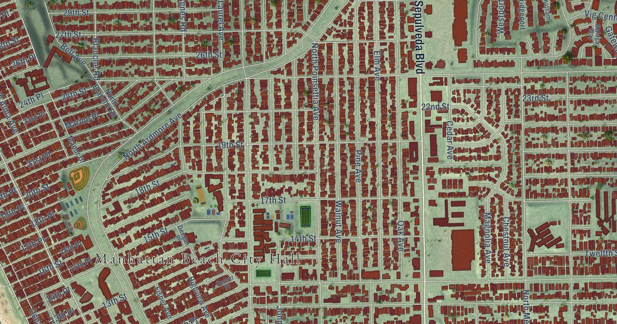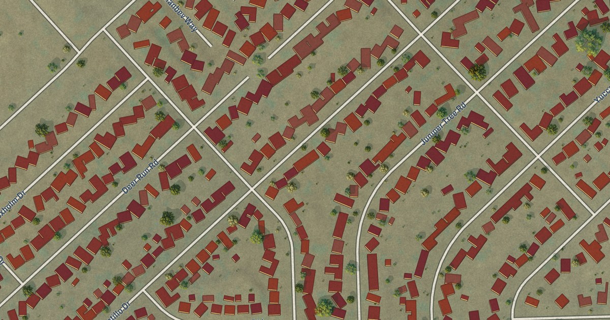
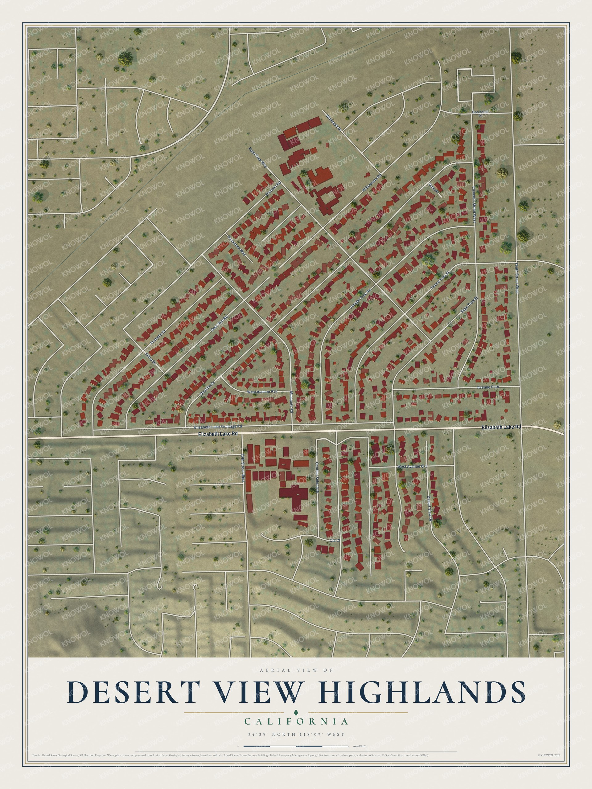
This beautifully detailed map of Desert View Highlands, California was created in 2026 using aerial imagery combined with modern topographical, census, street and landmark data. It's a modern aerial view of Desert View Highlands in Los Angeles County, California, that combines modern data with a vintage aesthetic. The roads feature printed names, and if you look closely you can find your exact house accurately shown in its correct location.
Explore an aerial view of Desert View Highlands, California
On this map you'll find Elizabeth Lake Road, Ocotillo School Drive, Yucca Tree Street, Juniper Tree Road, Ocotillo Drive, Elizabeth Lake Frontage Road, Sage Tree Street, Eleventh Street West, Foxholm Drive, Palm Tree Way, Deer Run Road, Mesquite Road, and more. Each red shape is a building, so zoom in on the preview and look for yours.
Every town has a first chapter, and Desert View Highlands is no exception. Builder Joseph Hunt and his wife, Ruth, bought the land along Tenth Street West in 1950, when the street was only a trail and there was no water or other utilities. Joe and his partners drilled for water, and their Deep River Water Company served Desert View Highlands until 1962. Much of the material for the homes was cut and formed at Joe's own mill. Before the Methodist church had its own building, services were held in the mill. The saws and lumber piles were covered, and rugs, chairs and an altar were set out. That's from the 1973 Antelope Valley pioneer history.
Desert View Highlands is a community in Los Angeles County. The Census Bureau counted 2,676 people here in 2020. Desert View Highlands sits about 3 miles west of Palmdale, 6 miles southeast of Quartz Hill and 7 miles north of Acton. The map prints the town name in its title panel, with the coordinates below it.
Take a closer look at the Desert View Highlands map
Names on this map
These names are printed on this map.
Streets and roads: Elizabeth Lake Road, Ocotillo School Drive, Yucca Tree Street, Juniper Tree Road, Ocotillo Drive, Elizabeth Lake Frontage Road, Sage Tree Street, Eleventh Street West, Foxholm Drive, Palm Tree Way, Deer Run Road, Mesquite Road.
More street names, A to Z
15th Street West, Avenue P-14, Beechdale Drive, Cie Court, Desert View Drive, Dianron Road, Dole Place, Silica Drive, Tenth Street West, Vananbev Way, West Avenue P14, West Avenue Q-1, Whiteash Drive, Willowvale Road.
See it on a wall
The Desert View Highlands map as a framed print. Swipe for more.


Created by KNOWOL in 2026. The buildings are small red shapes, the roads carry their printed names, and shaded relief shows the shape of the land. The title panel reads "AERIAL VIEW OF DESERT VIEW HIGHLANDS, CALIFORNIA" with 34°35' NORTH 118°09' WEST.
Hang it in the hallway, the office or the cabin, or give it to someone who left Desert View Highlands and still calls it home. Open the preview and look for a street you know. See sizes and frames for the Desert View Highlands map.