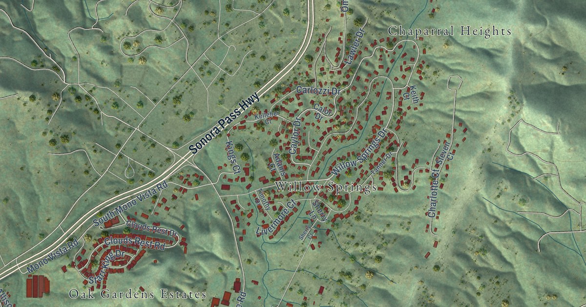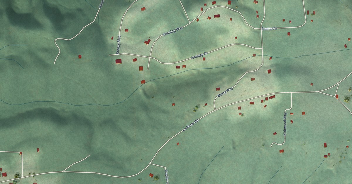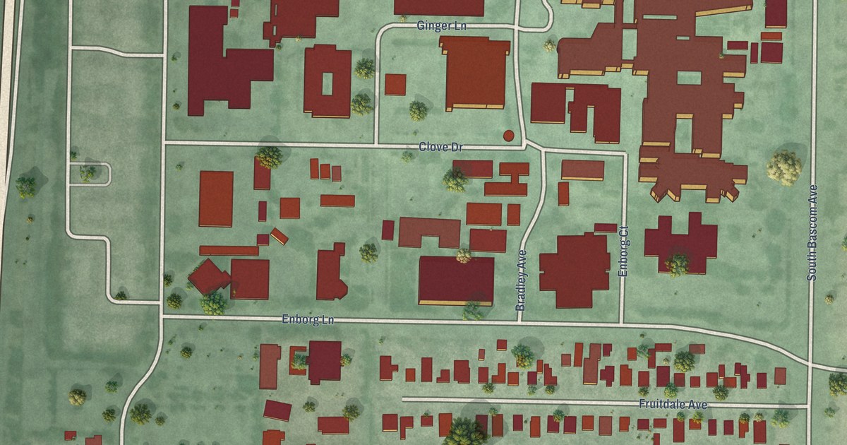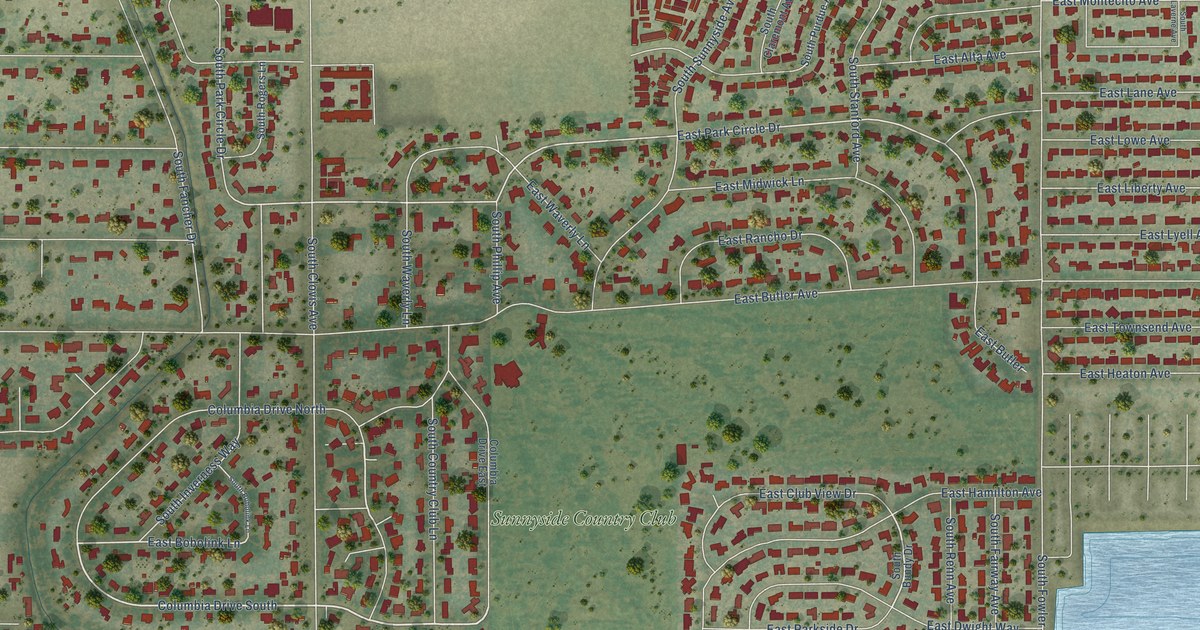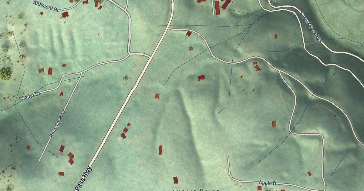
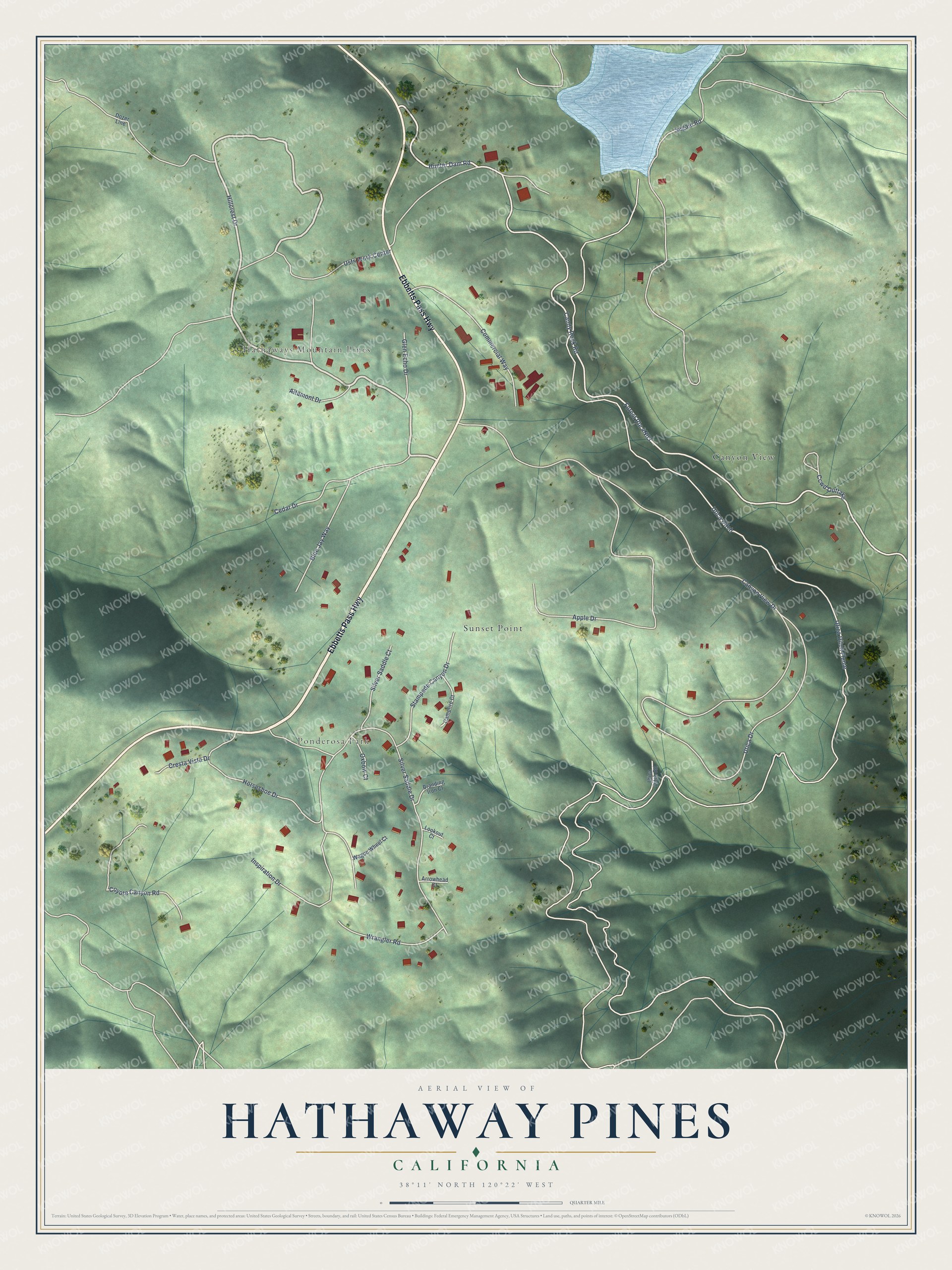
This beautifully detailed map of Hathaway Pines, California was created in 2026 using aerial imagery combined with modern topographical, census, street and landmark data. It's a modern aerial view of Hathaway Pines in Calaveras County, California, that combines modern data with a vintage aesthetic. The roads feature printed names, and if you look closely you can find your exact house accurately shown in its correct location.
Explore an aerial view of Hathaway Pines, California
On this map you'll find Ponderosa Park, Hathaways Mountain Pines, Sunset Point, Canyon View, Ebbetts Pass Highway, Hillcrest Drive, Hunter Dam Road, Utica Ditch, Utica Ditch Flume, Candy Rock Road, Canyon View Drive, Segale Road, and more. Each red shape is a building, so zoom in on the preview and look for yours.
Hathaway Pines is a community in Calaveras County. Hathaway Pines sits about 2 miles northeast of Forest Meadows, 4 miles south of Arnold and 5 miles east of Sheep Ranch. The map prints the town name in its title panel, with the coordinates below it.
Take a closer look at the Hathaway Pines map
Names on this map
These names are printed on this map.
Places: Ponderosa Park, Hathaways Mountain Pines, Sunset Point and Canyon View.
Streets and roads: Ebbetts Pass Highway, Hillcrest Drive, Hunter Dam Road, Utica Ditch, Utica Ditch Flume, Candy Rock Road, Canyon View Drive, Segale Road, Apple Drive, Utica Drive, Horseshoe Drive, Silver Saddle Drive.
More street names, A to Z
Altamont Drive, Arrowhead Court, Blue Jay Way, Branding Iron Court, Campfire Court, Ccwd Outtake, Cedar Drive, Commercial Way, Coyote Canyon Road, Cresta Vista Drive, Dozer Line, Glen Echo Drive, Inspiration Drive, Lookout Court, Oxbow Court, Silver Saddle Court, Stampede Canyon Drive, Usfs Work Center, Utica Ditch Road, Wagon Wheel Court, Wrangler Road.
See it on a wall
The Hathaway Pines map as a framed print. Swipe for more.


Created by KNOWOL in 2026. The buildings are small red shapes, the roads carry their printed names, and shaded relief shows the shape of the land. The title panel reads "AERIAL VIEW OF HATHAWAY PINES, CALIFORNIA" with 38°11' NORTH 120°22' WEST.
It looks right in a kitchen, an office or a den, and it's a gift for anyone who grew up in Hathaway Pines or moved away. Open the preview and find your street. See sizes and frames for the Hathaway Pines map.