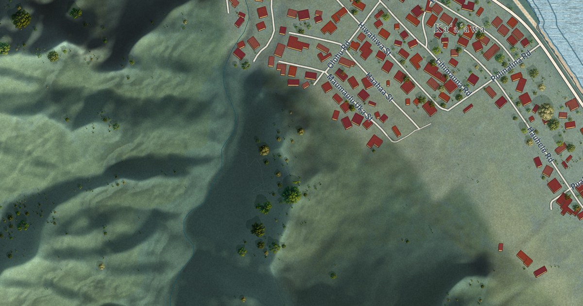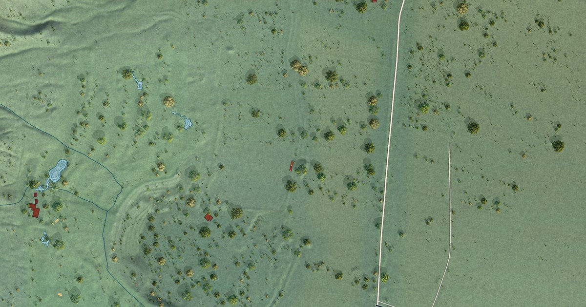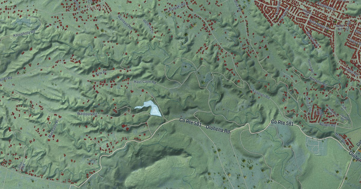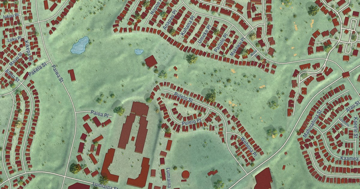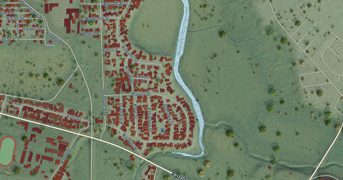
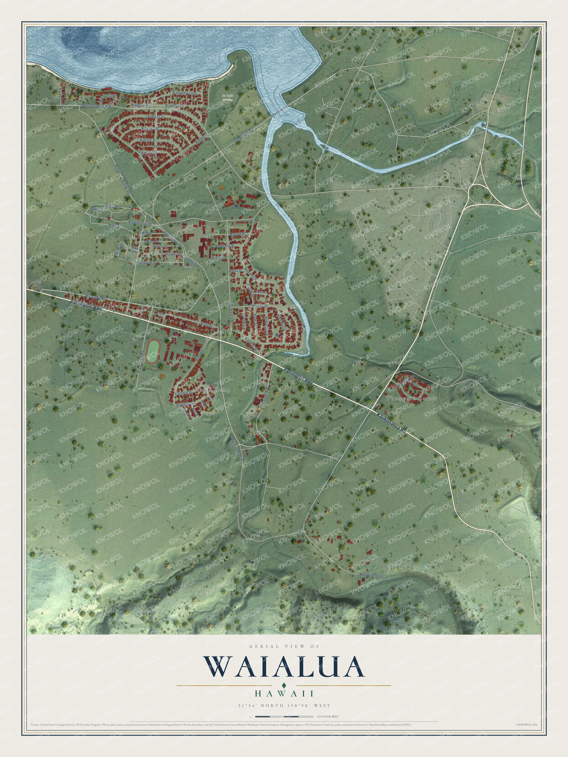
This beautifully detailed map of Waialua, Hawaii was created in 2026 using aerial imagery combined with modern topographical, census, street and landmark data. It's a modern aerial view of Waialua in Honolulu County, Hawaii, that combines modern data with a vintage aesthetic. The roads feature printed names, and if you look closely you can find your exact house accurately shown in its correct location.
Explore an aerial view of Waialua, Hawaii
On this map you'll find Thompson Corner, Ranch Camp, Puʻuiki Cemetery, Farrington Highway, Kaukonahua Road, Cane Haul Road, Kaupe Road, Koanaku Road, Plantation Road, Kealohanui Street, Hapo Street, Kahui Street, and more. Each red shape is a building, so zoom in on the preview and look for yours.
Waialua has a story worth telling. Waialua's first sugarcane plantation started in 1865, but it did not succeed until decades later. Castle and Cooke bought the plantation in 1898 and built a new mill, a railway, water storage and irrigation. By 1991 the Waialua Sugar Mill produced 8 percent of the sugar in Hawaii. Emigdio Cabico, born in the Philippines in 1909, came to Hawaii at 17 to work for the Waialua Sugar Company. After 10 years he became a plantation store manager, and later he started his own store. That's from the Hawaii Public Radio station.
Waialua is a community in Honolulu County. The Census Bureau counted 4,062 people here in 2020. Waialua sits about 3 miles southwest of Haleiwa, 3 miles east of Mokuleia and 6 miles northwest of Schofield Barracks. The map prints the town name in its title panel, with the coordinates below it.
Take a closer look at the Waialua map
Names on this map
These names are printed on this map.
Places: Thompson Corner, Ranch Camp and Puʻuiki Cemetery.
Streets and roads: Farrington Highway, Kaukonahua Road, Cane Haul Road, Kaupe Road, Koanaku Road, Plantation Road, Kealohanui Street, Hapo Street, Kahui Street, Puuiki Street, Waialua Beach Road, Puuiki.
More street names, A to Z
Aikaula Street, Alahaka Street, Goodale Avenue, Haleki Street, Halilo Street, Hanapule Street, Haona Street, Hika Street, Hopemanu Street, Hukilau Loop, Kahaone Loop, Kaiea Place, Kaimanu Place, Kaioe Place, Kaliuna Street, Kanalu Street, Kane Place, Kanoena Street, Kanoulu Street, Kaui Street, Kea Place, Kekauwa Street, Keoahu Road, Keoo Street, Keuwai Street, Kiapoko Place, Kiapoko Street, Kila Way, Kioe Street, Komo Street, Kuemanu Street, Kuhe Place, Kuhi Place, Kuhi Street, Kukea Circle, Kuoha Street, Kupahu Street, Ku Place, Mamua Place, Nahoa Street, Nalei Place, Naluahi Street, Nauahi Street, Naukana Street, Niho Street, Papa Circle, Pea Street, Polu Way, Powa Street, Unnamed Road 3, Waialua Ranch.
See it on a wall
The Waialua map as a framed print. Swipe for more.


Created by KNOWOL in 2026. The buildings are small red shapes, the roads carry their printed names, and shaded relief shows the shape of the land. The title panel reads "AERIAL VIEW OF WAIALUA, HAWAII" with 21°34' NORTH 158°08' WEST.
It looks right in a kitchen, an office or a den, and it's a gift for anyone who grew up in Waialua or moved away. Open the preview and find your street. See sizes and frames for the Waialua map.