


Hawaii Town Maps A to Z
All 169 town maps, from Ahuimanu to Whitmore Village. Each one opens its own page with the whole map.
A
B
C
D
E
F
H
I
K
- Kaaawa
- Kaanapali
- Kahaluu
- Kahaluu-Keauhou
- Kahuku
- Kahului
- Kailua, Hawaii County
- Kailua, Honolulu County
- Kaiminani
- Kaimuki
- Kalaeloa
- Kalaheo
- Kalapana
- Kalihiwai
- Kaloko
- Kamaili
- Kaneohe
- Kaneohe Base
- Kapaa
- Kapaau
- Kapalua
- Kapolei
- Kaumakani
- Kaunakakai
- Kawela Bay
- Keaau
- Kealakekua
- Kekaha
- Keokea
- Kihei
- Kilauea
- Ko Olina
- Koloa
- Kualapuu
- Kukuihaele
- Kula
- Kurtistown
L
M
N
O
P
R
S
T
U
V
W
Don’t see your town? Ask us to draw it.
About Hawaii
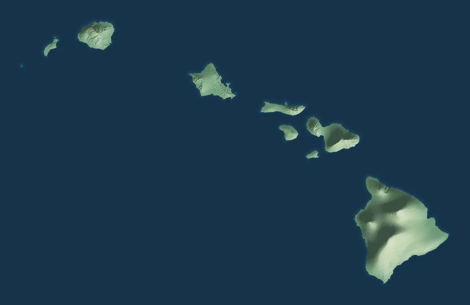
Hawaiʻi is a chain of 137 islands in the middle of the Pacific, about 2,400 miles from the West Coast. The eight main islands run from Niʻihau and Kauaʻi in the northwest to Hawaiʻi Island in the southeast. There, Kīlauea and Mauna Loa are still active volcanoes. The islands were a kingdom for most of the 1800s, and Hawaiʻi became the 50th state in 1959.
About 7 in 10 people in Hawaiʻi live on Oʻahu, in and around Honolulu. Many smaller towns began as sugar or pineapple plantation camps, cattle ranches or harbor towns. Plantation workers came from China, Japan, Portugal, Puerto Rico, Korea and the Philippines, and many of their families stayed. Hawaiian and English are both official languages of the state.
- Statehood
- August 21, 1959
- Capital
- Honolulu
- Population
- 1,432,8202025 Census estimate
- Highest point
- Mauna Kea, 13,803 feet
- Lowest point
- Pacific Ocean, sea level
- Size
- 10,932 square miles, the 43rd largest state
Honolulu and Oʻahu
Honolulu, Pearl City, Kailua, Kāneʻohe, Waipahu and Kapolei are all on Oʻahu, known as the Gathering Place. Two old volcanoes built the island, the Waiʻanae Range in the west and the Koʻolau Range in the east. King Kalākaua built ʻIolani Palace in downtown Honolulu in 1882, and it's a museum today. In Waipahu, the tall smokestack of the old sugar mill still stands, though the mill closed in 1995.


Hawaiʻi Island, the Big Island
Hilo sits on the rainy east side of Hawaiʻi Island, and Kailua-Kona on the dry west side. Five volcanoes built the Big Island, and it's almost twice the size of all the other islands together. The first statue of Kamehameha I stands in Kapaʻau, in North Kohala near where he was born. Upcountry in Waimea, Parker Ranch has raised cattle since 1847, worked by paniolo, Hawaiʻi's cowboys.


Maui, Molokaʻi and Lānaʻi
Kahului, Wailuku, Kīhei and Lahaina are on Maui, the Valley Isle, where Haleakalā rises to 10,023 feet. Lahaina was the royal capital of the Hawaiian Kingdom from 1820 to 1845, and a busy port for whaling ships in the mid-1800s. James Dole's pineapple company built Lānaʻi City in the 1920s as its plantation town. On Molokaʻi, the Friendly Isle, Kaunakakai is the main town.


Kauaʻi, the Garden Island
Līhuʻe, Kapaʻa, Kōloa, Hanalei and Princeville are on Kauaʻi, the Garden Island and the oldest of the main islands. Waimea Canyon cuts through the west side, and the cliffs of the Nāpali Coast line the northwest. Hawaiʻi's first successful large sugar plantation started at Kōloa in 1835, and the ruins of its 1841 mill still stand. In Hanalei, the Waiʻoli Mission House was finished in 1837 and is a museum today.


- 12 × 18 inPrint $39.99Framed $89.99
- 18 × 24 inPrint $49.99Framed $129.99
- 24 × 36 inPrint $89.99Framed $199.99

Sizes and Prices
Every map comes in three sizes on archival matte paper. Framed prints come in black or white wood.
How each map is made
It starts with the real place
Streets, buildings, terrain and water form the map, drawn the way Hawaii looks today.
Then the details
Local research and an old atlas style give each town its character.
Then it's yours
Look around the map, then pick a print to keep or give.
















