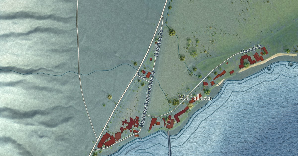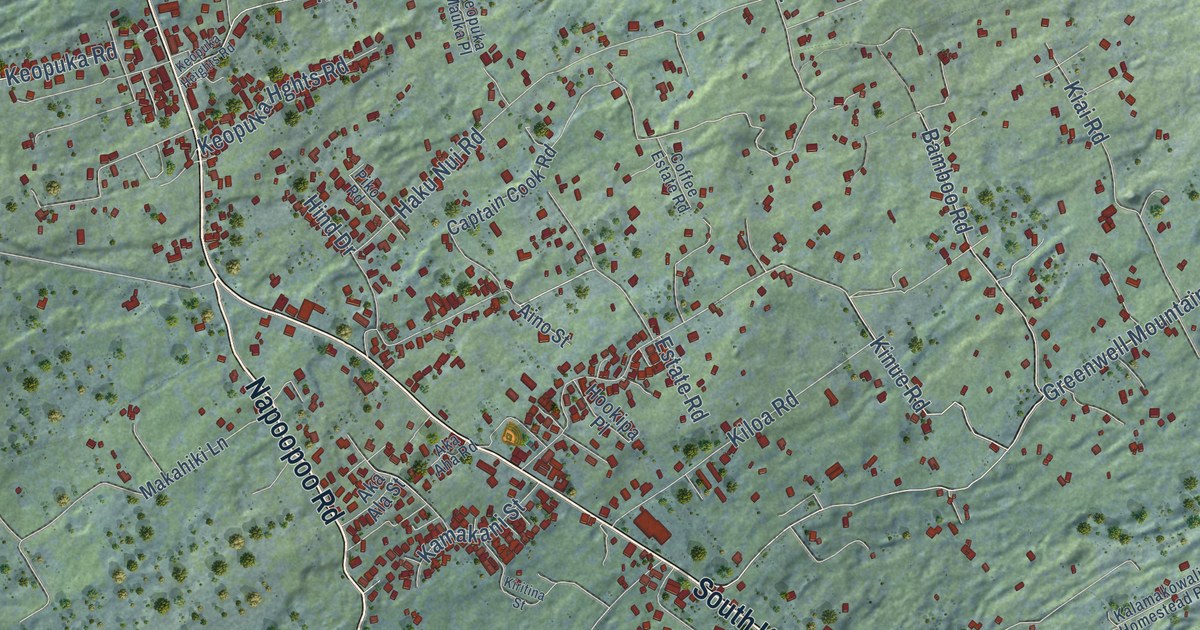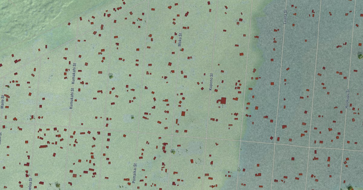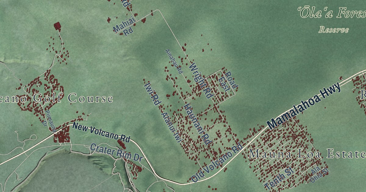
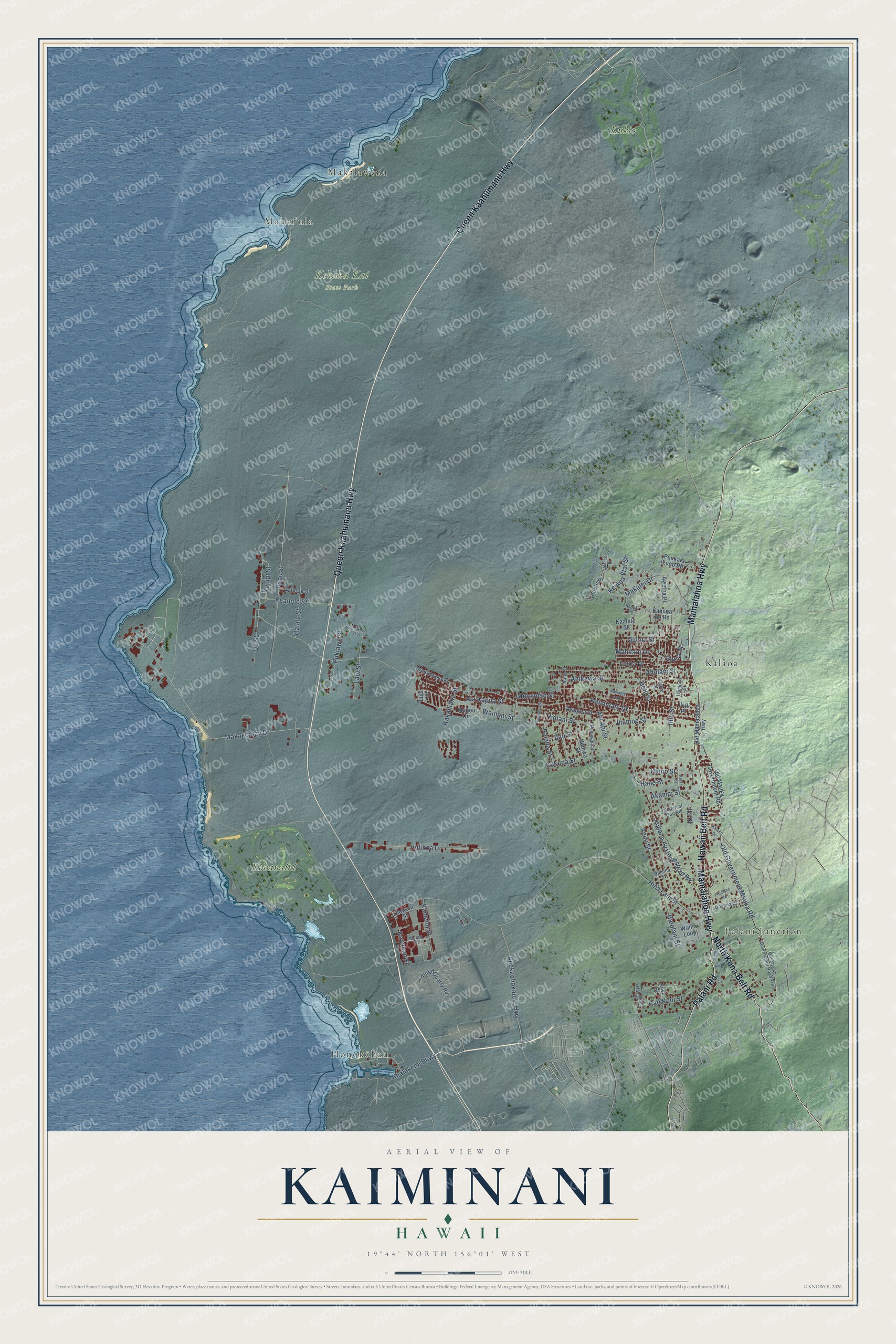
This beautifully detailed map of Kaiminani, Hawaii was created in 2026 using aerial imagery combined with modern topographical, census, street and landmark data. It’s a one-of-a-kind view of Kaiminani that combines accurate data with a vintage aesthetic. The map shows every building in its true location, many of the roads carry their names, and the shaded topographic relief shows the shape of the land.
Explore an aerial view of Kaiminani, Hawaii
On the map you’ll find Palani Junction, Honokōhau, Makalawena, Mahaiʻula, Kekaha Kai State Park, Kalaoa, Kohanaiki, and Kukio, along with Queen Kaahumanu Highway, Mamalahoa Highway, Hawaii Belt Road, North Kona Belt Road, and more. If you look closely you can even find your house accurately drawn in its correct location. Zoom in on the preview to look for yours.
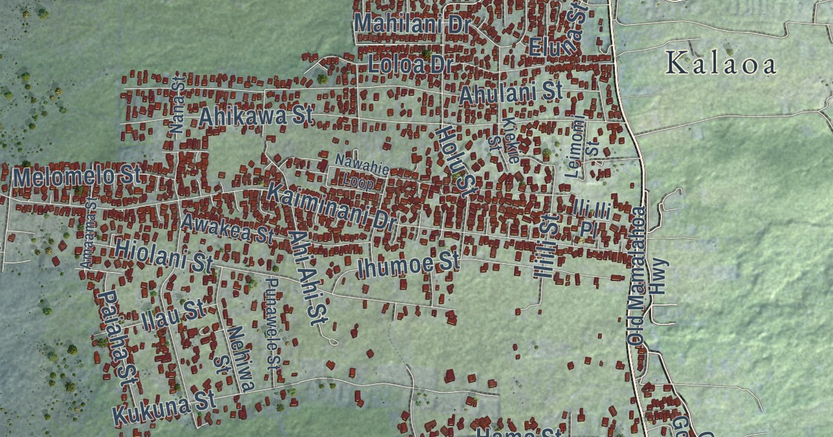
Take a closer look at the Kaiminani map
Street and place names on the Kaiminani, Hawaii map
These names are printed on the map of Kaiminani, Hawaii.
Places: Palani Junction, Honokōhau, Makalawena, Mahaiʻula, Kekaha Kai State Park, Kalaoa, Kohanaiki and Kukio.
Streets and roads: Queen Kaahumanu Highway, Mamalahoa Highway, Hawaii Belt Road, North Kona Belt Road, Palani Road, Paoo Street, Makako Bay Drive, Kaiminani Drive, Hina Lani Street, Old Government Mauka Road, Hulikoa Drive, Ahikawa Street.
More street names, A to Z
Ahi Ahi Street, Ahulani Street, Akamai Street, Alahee Place, Ala Kapua Street, Allied Quarry Road, Amaama Street, Anekeohokalole Highway, Aniani Street, Anini Street, Aulepe Street, Awakea Street, Awalua Place, Church of God Road, Eluna Street, Halalu Street, Halolani Street, Hamiha Street, Hamo Street, Hane Street, Hao-Kuni Place, Hao Kuni Street, Hiolani Street, Holu Street, Hoopai Road, Ihumoe Street, Iki Place, Ilau Street, Ili Ili Place, Iliili Street, Kaalele Street, Kahuna Ao Road, Kakahiaka Street, Kaloko Drive, Kamanu Street, Kanalani Street, Keahole Street, Kealakehe Parkway, Ke Ana Wai Street, Kiekie Street, Kiwi Street, Kohana Iki Homestead Road, Kukuna Street, Kupaloke Street, Kupipi Street, Laui Street, Leimomi Street, Loloa Drive, Lula Street, Maheu Circle, Mahilani Drive, Maiau Street, Makalei Drive, Makamaka Street, Melomelo Street, Nana Street, Nawahie Loop, Nehiwa Street, Old Mamalahoa Highway, Old Mauka Government Road, Old Mauka Government Road Trail, Olowalu Street, Oluolu Street, Onaona Drive, Paiaha Street, Pilialoha Road, Pukiawe Street, Punawele Street, Puukala Loop Road, Puulu Place, Ulu Wini Place, Uu Street, Waiha Loop, Wainani Street.
See the Kaiminani, Hawaii map on a wall
The Kaiminani map as an 18 x 24 inch print in a black frame.

This beautifully detailed map of Kaiminani makes an attractive addition to your office, library, or den, and it can even be used to teach children the geography and history of the area. It also makes a great gift for someone who left Kaiminani and still calls it home. When you’re done exploring, click here to get your copy of the Kaiminani map.