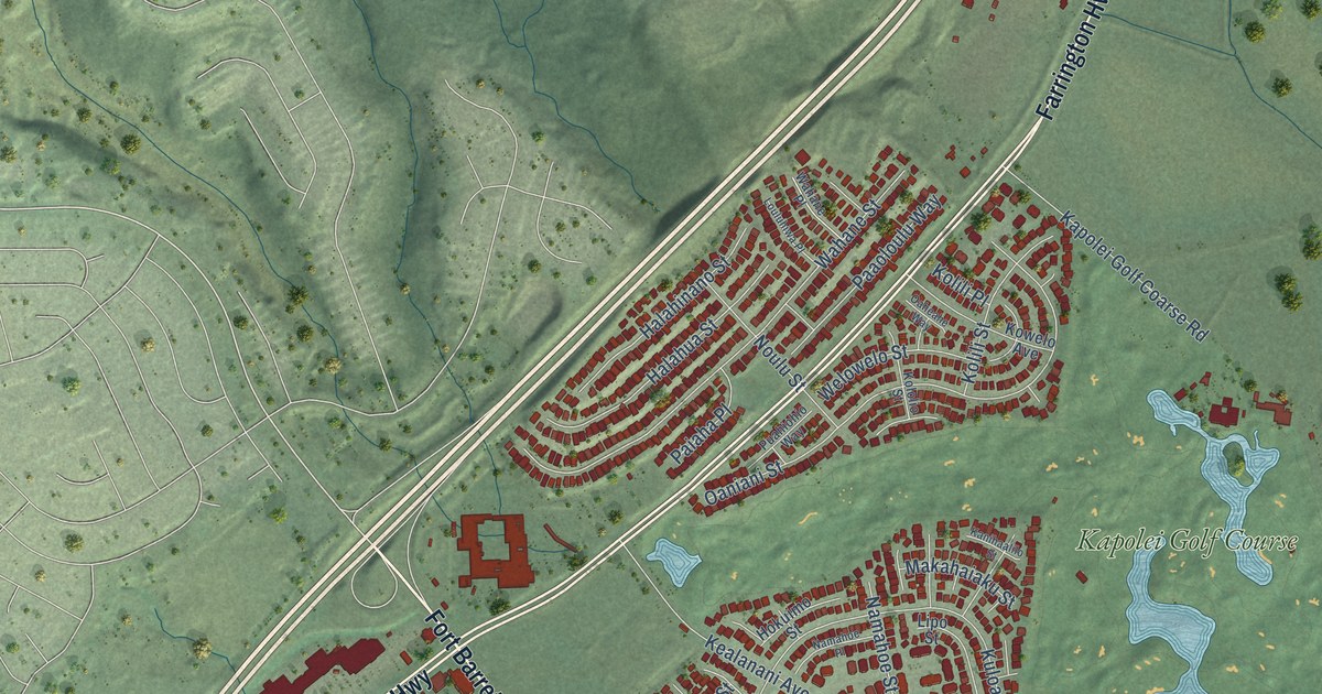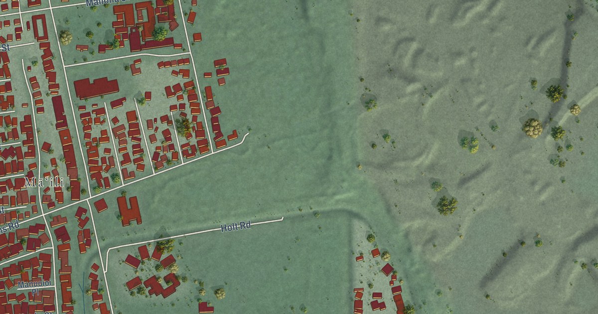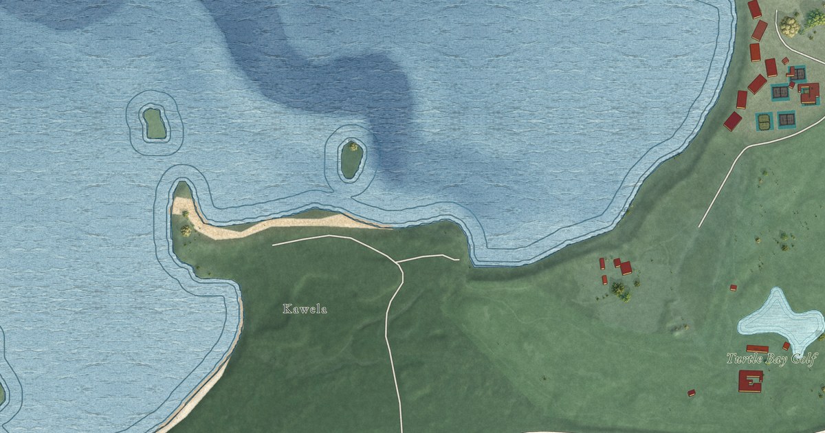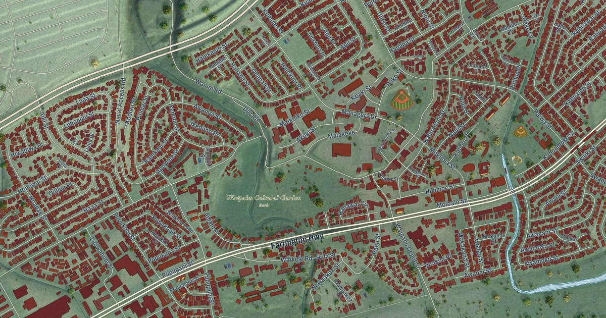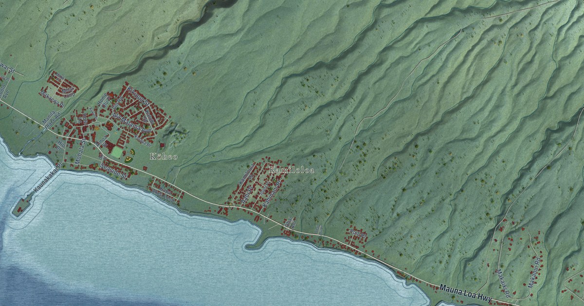
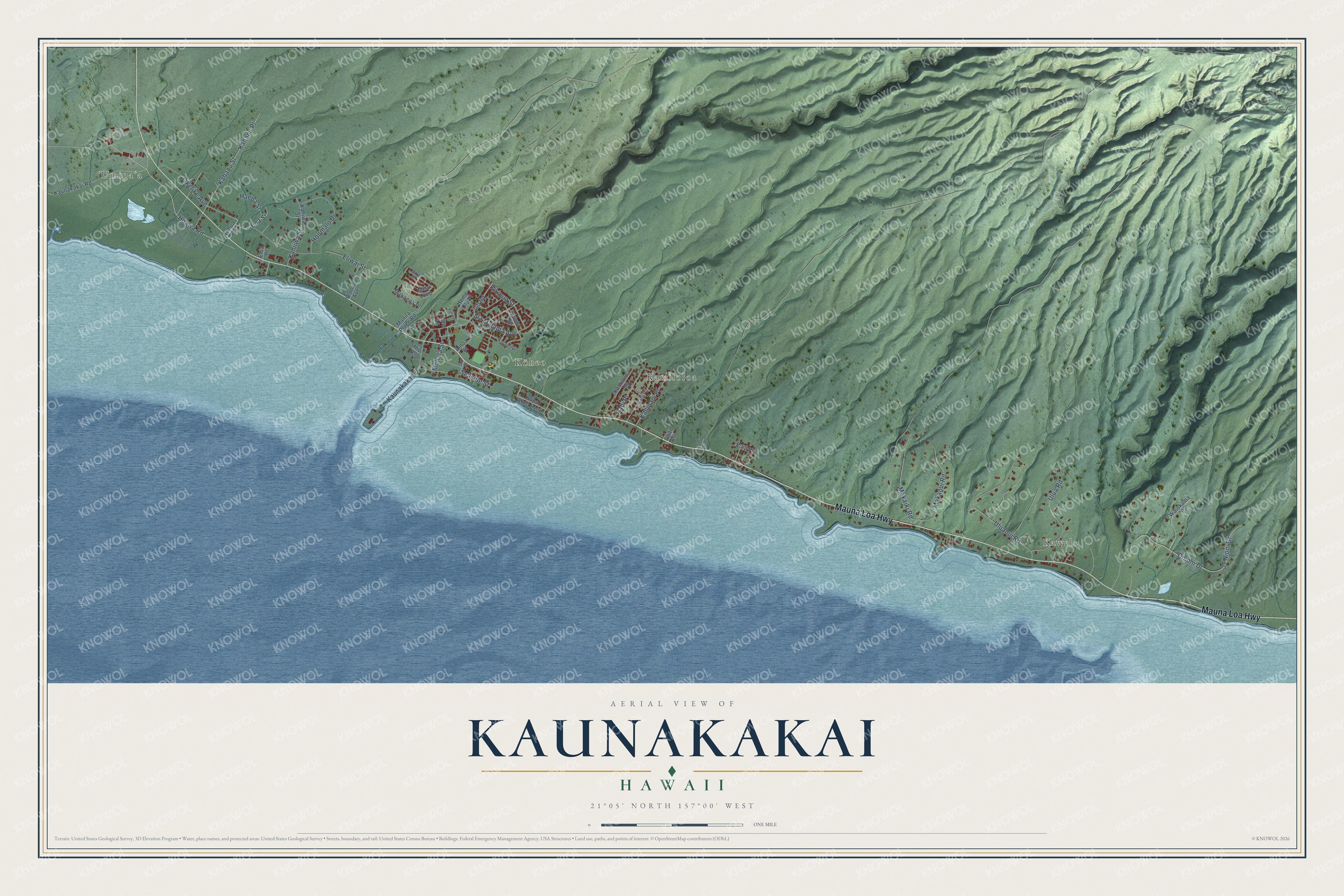
This beautifully detailed map of Kaunakakai, Hawaii was created in 2026 using aerial imagery combined with modern topographical, census, street and landmark data. It’s a one-of-a-kind view of Kaunakakai that combines accurate data with a vintage aesthetic. The map shows every building in its true location, many of the roads carry their names, and the shaded topographic relief shows the shape of the land.
Explore an aerial view of Kaunakakai, Hawaii
On the map you’ll find Kawela, ʻUmipaʻa, Kōheo, and Kamiloloa, along with Mauna Loa Highway, Hoawa Road, Ena Street, Onioni Drive, Likelike Avenue, Uluanui Road, Ala Malama Avenue, and more. If you look closely you can even find your house accurately drawn in its correct location. Zoom in on the preview to look for yours.
Did You Know?
Kaunakakai's main street, Ala Malama Avenue, is named for Malama, the summer home King Kamehameha V kept here. The house stood on a raised platform west of the wharf approach called Ka Lae O Ka Manu, the point of the birds, and it was still standing in 1908. Plovers used to settle in the evenings on a spit of sand beyond the platform, and that's how the point got its name. That's from the Images of Old Hawaii history site.
Take a closer look at the Kaunakakai map
Names on this map
These names are printed on this map.
Places: Kawela, ʻUmipaʻa, Kōheo and Kamiloloa.
Streets and roads: Mauna Loa Highway, Hoawa Road, Ena Street, Onioni Drive, O'Nioni Drive, Likelike Avenue, Uluanui Road, Ala Malama Avenue, Kahanu Street, Ulua Road, Makaiki Road, Hoomalu Drive.
More street names, A to Z
Aahi Place, Ainoa Street, Ekela Place, Eliwai Street, Elua Place, Haena Street, Hio Place, Home Olu Place, Hotel Lane, Iliahi Place, Ilio Road, Kahanu Place, Kahiiwa Street, Kahinani Place, Kahiwa Street, Kalohi Street, Kamiloloa Place, Kapa Akea Loop, Kaunakakai Place, Kaunakakai Road, Kikipua Street, Kolapa Place, Kukui Place, Lehua Avenue, Makaena Place, Makanui Road, Manila Place Road, Mikia Place, Moai Loop, Mohala Street, Ohai Alii, Ohai Alii Place, Oki Place, Oloolo Avenue, Puili Place, Seaside Street, Waiokama Place.
See it on a wall
The Kaunakakai map as a framed print. Swipe for more.


This beautifully detailed map of Kaunakakai makes an attractive addition to your office, library, or den, and it can even be used to teach children the geography and history of the area. It also makes a great gift for someone who left Kaunakakai and still calls it home. When you’re done exploring, click here to get your copy of the Kaunakakai map.