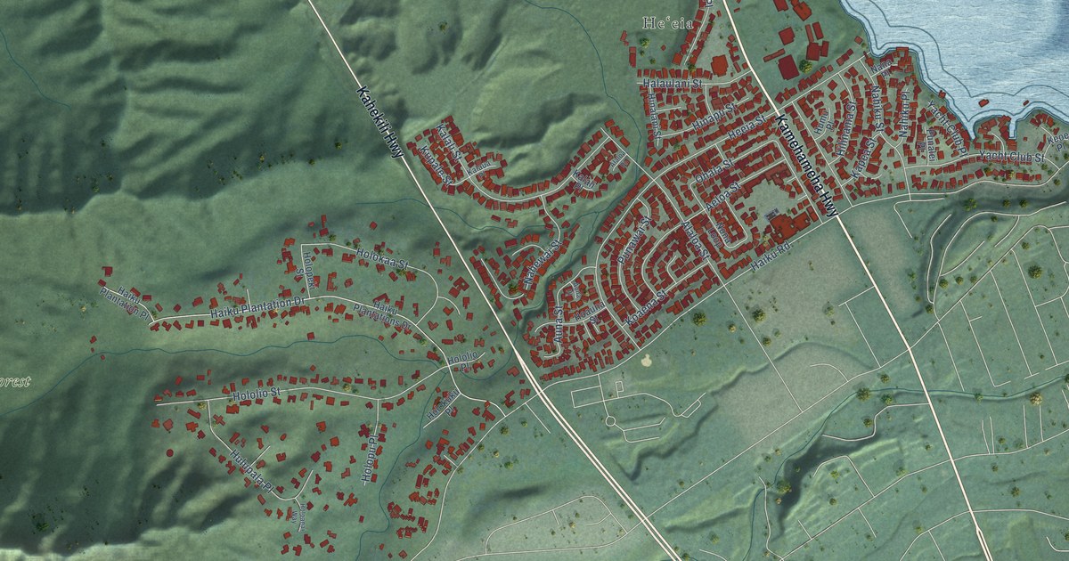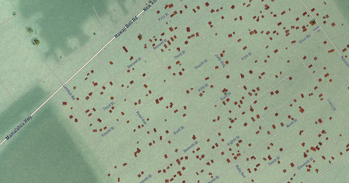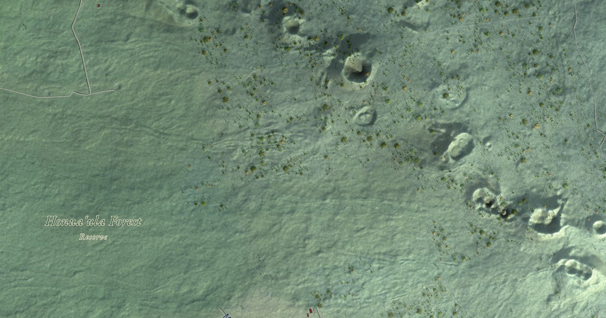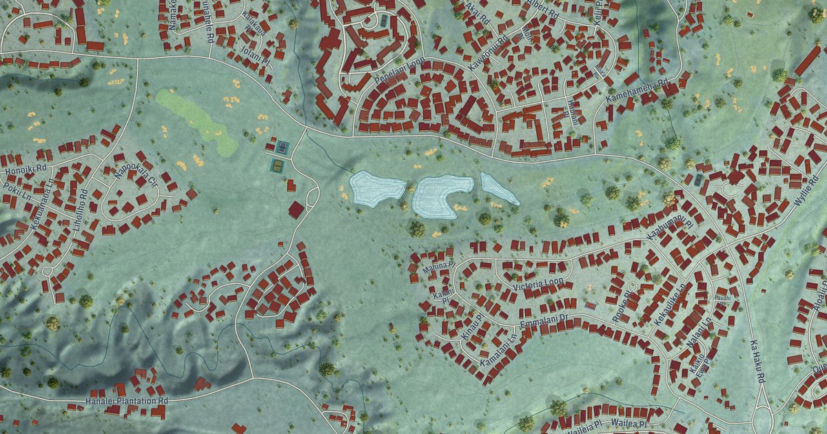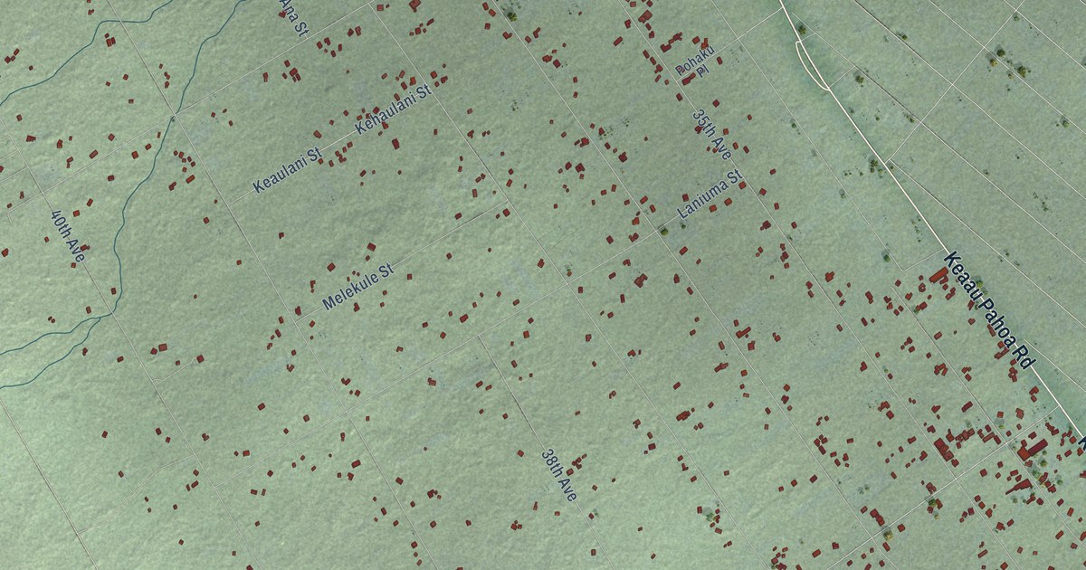
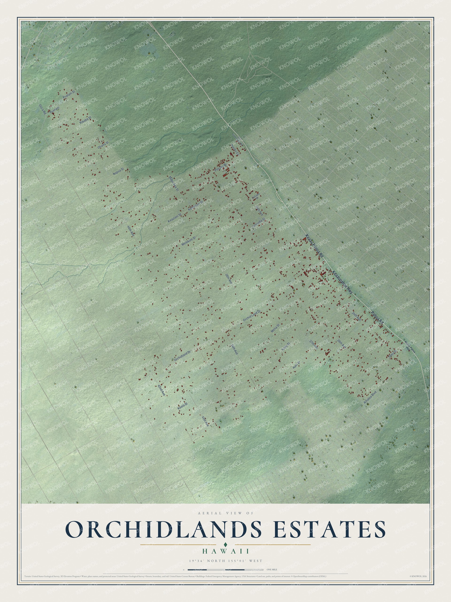
This beautifully detailed map of Orchidlands Estates, Hawaii was created in 2026 using aerial imagery combined with modern topographical, census, street and landmark data. It's a modern aerial view of Orchidlands Estates in Hawaii County, Hawaii, that combines modern data with a vintage aesthetic. The roads feature printed names, and if you look closely you can find your exact house accurately shown in its correct location.
Explore an aerial view of Orchidlands Estates, Hawaii
On this map you'll find Pahoa Road, Keaaupahoa Highway, Keaau Pahoa Road, Ainaloa Boulevard, 37th Avenue, Puanani, 40th Avenue, 36th Avenue, 35th Avenue, 39th Avenue, Orchid Land Drive, Aulii Street, and more. Each red shape is a building, so zoom in on the preview and look for yours.
Orchidlands Estates has a story worth telling. Orchidland Estates was laid out on old Puna ranch land in the late 1950s, before Hawaii became a state, as lots of a quarter acre to 3 acres with private roads and no utilities. The parcels sold for under 500 dollars, and the few who moved in lived on catchment water and generators. Families often lived in tents or shacks until the land was paid off, building a house a stick at a time, and were proud to say it was humble but theirs. That's from the Orchidland Community Association.
Orchidlands Estates is a community in Hawaii County. The Census Bureau counted 3,165 people here in 2020.
Take a closer look at the Orchidlands Estates map
Names on this map
These names are printed on this map.
Streets and roads: Pahoa Road, Keaaupahoa Highway, Keaau Pahoa Road, Ainaloa Boulevard, 37th Avenue, Puanani, 40th Avenue, 36th Avenue, 35th Avenue, 39th Avenue, Orchid Land Drive, Aulii Street.
More street names, A to Z
34th Avenue, 38th Avenue, 41st Avenue, 42nd Avenue, Ilima Street, Keaau-Pahoa Highway, Keala Street, Keaulani Street, Kehaulani Street, Kiele Street, Laniuma Street, Mapu Ana Street, Melekule Street, Melia Street, Napua Street, Ola'a Road, Old Government Road, Oliana Street, Orchidland Drive, Pikake Street, Pohaku Circle, Pohaku Drive, Pohaku Place, Pualani Street.
See it on a wall
The Orchidlands Estates map as a framed print. Swipe for more.


Created by KNOWOL in 2026. The buildings are small red shapes, the roads carry their printed names, and shaded relief shows the shape of the land. The title panel reads "AERIAL VIEW OF ORCHIDLANDS ESTATES, HAWAII" with 19°34' NORTH 155°01' WEST.
It looks right in a kitchen, an office or a den, and it's a gift for anyone who grew up in Orchidlands Estates or moved away. Open the preview and find your street. See sizes and frames for the Orchidlands Estates map.